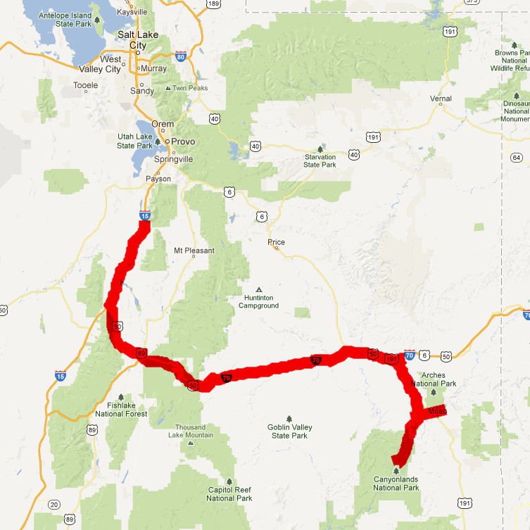
| Day 10 - Mona to Moab |
|
 |
|
Sunday morning we woke to
another clear but smoky sky. Today we were headed south
on I-15 to the middle of the state, planning to see
Canyonlands National Park and Dead Horse State Park, two
of the places I wanted to see out here, and also we'd be
on the Interstate 70 route through the San Rafael Swell,
which was supposed to have some very dramatic scenery.
We went south again, through Nephi, where we saw a bunch
of old cars on a used car lot that Hal wanted me to
photograph. Main Street in Nephi was pretty much
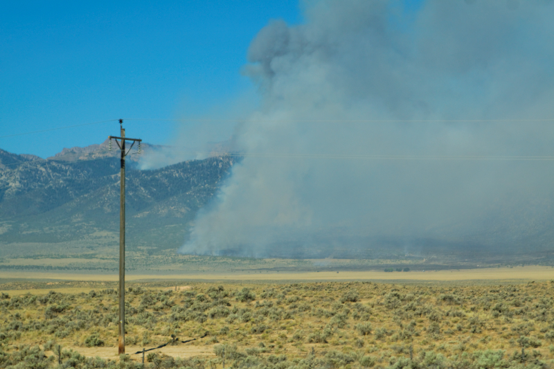
deserted. Then, we headed south on the interstate, and
passed one or two brushfires off in the distance. We
even saw some real cowboys right along the roadway. It
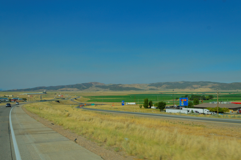
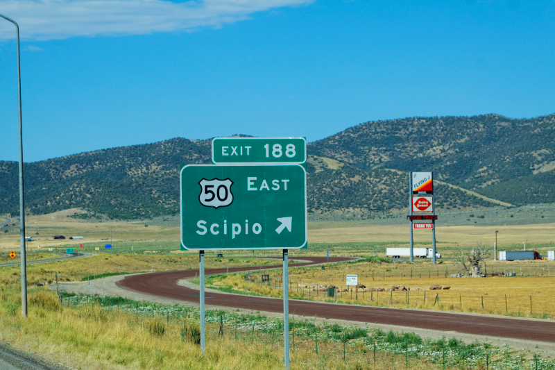
got more and more desolate as we headed for Scipio,
where we'd branch off on a US hIghway 50 to connect to
I-70. Scipio is one of the areas that was a favorite
haunt of Butch Cassidy and the Sundance Kid back in the
1890s and early 1900s, or so they say. |
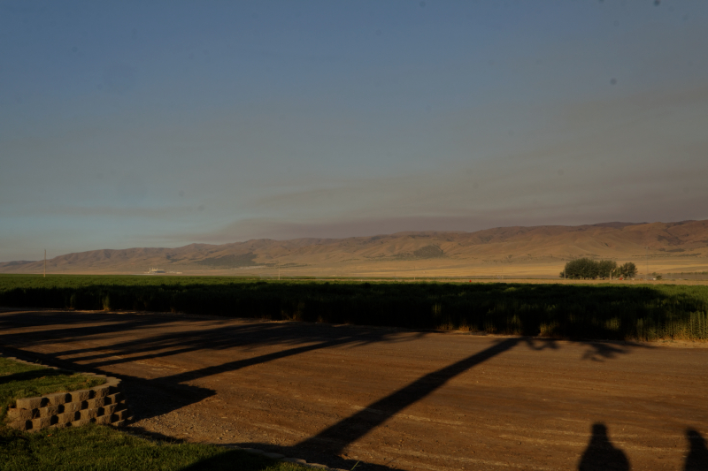
Sunday
Morning at the Farm |
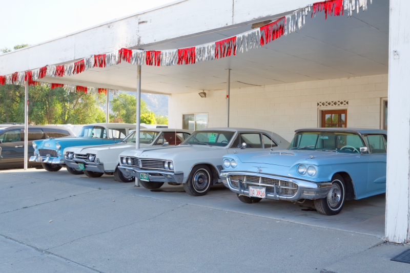
Take
yer pick... |
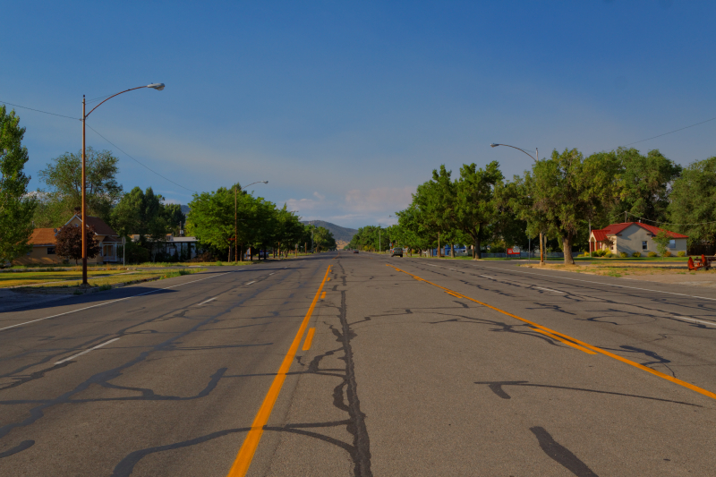
Main
Street, Nephi, Sunday Morning |
Back
on I-15, heading south |
Brush
Fire along I-15 |
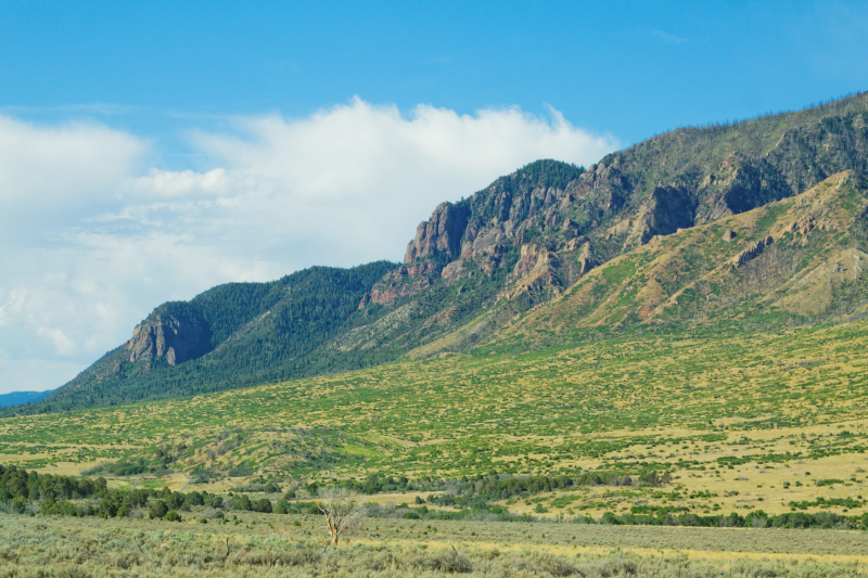
Skirting
the foothills |
Rt
50 at Scipio |
|
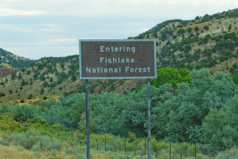
Once we hit Scipio, we
traveled through the scenic but fairly desolate area
that is the Fishlake National Forest. The foothills rose
abruptly out of the plains on either side of the road.
After about 40 or 50 miles, we came down into Salina,
which is where we'd hook up with Interstate 70. Salina
is a dry, dusty little burg. We ate some lunch at a
Burger King. |
 |
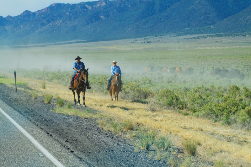
Git
along, little dogie... |
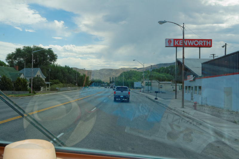
Entering
Salina |
|
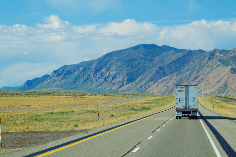
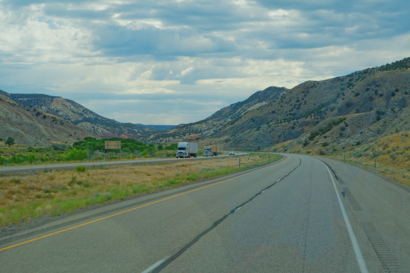
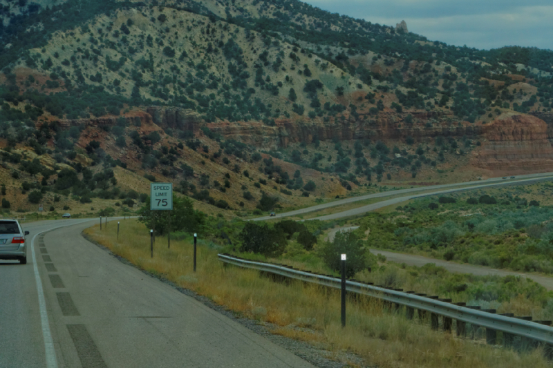
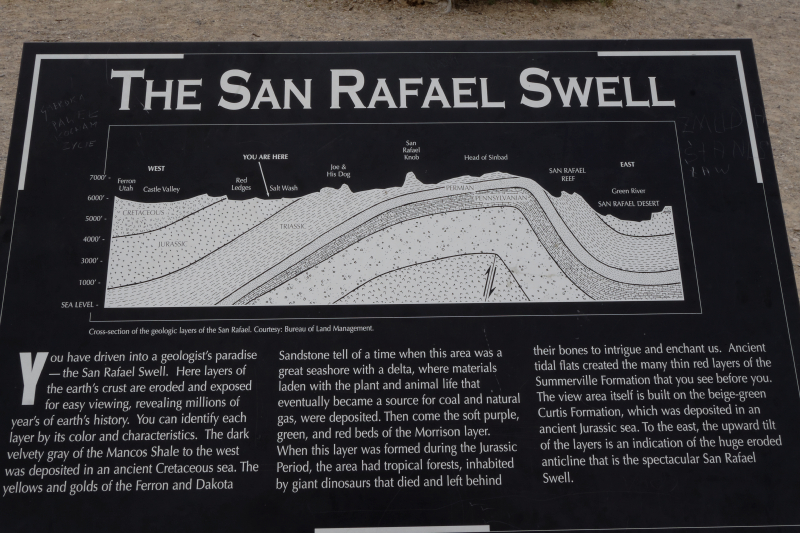
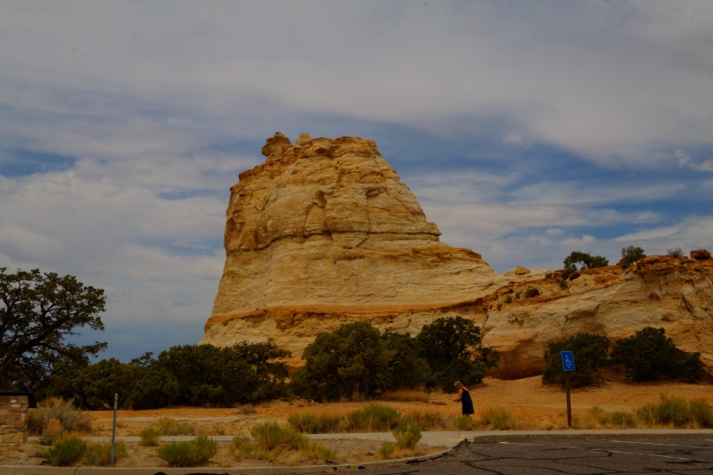
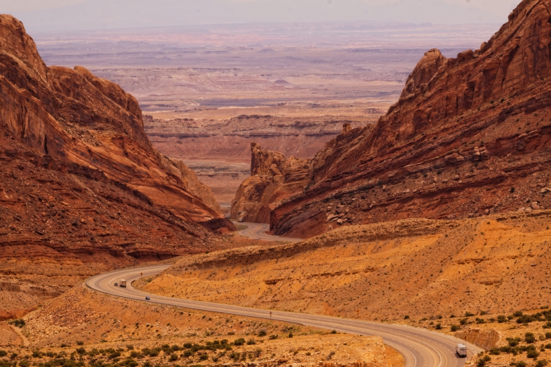
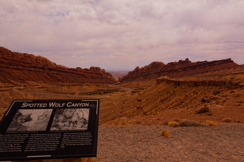
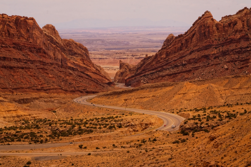
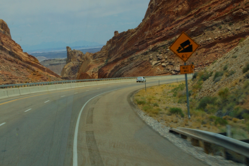
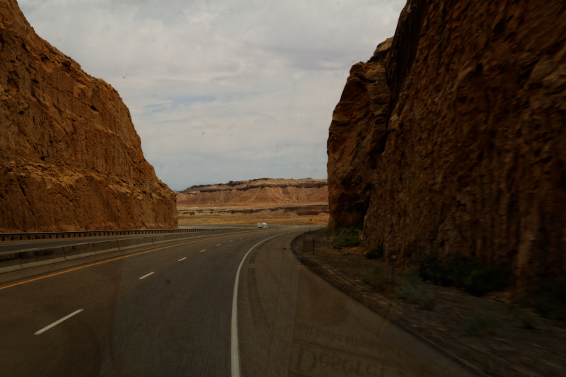
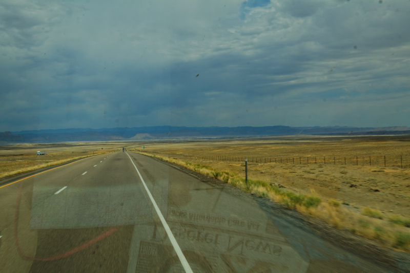
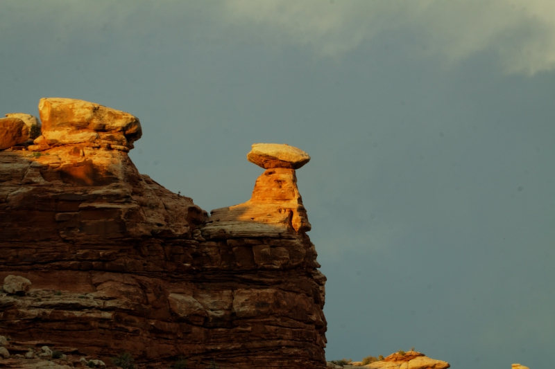
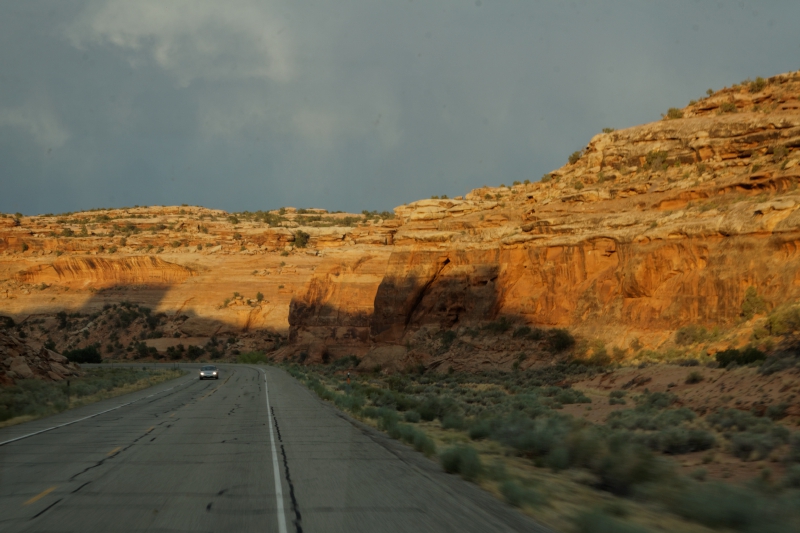
7886 feet. That's the
elevation we hit crossing the San Rafael Swell, in the
La Sal mountains. US 50 and the interstate were
co-routed through much of this area. We took wide,
sweeping turns through the hills, a little up, a little
down. We were still running through Fishlake National
Forest. Odd name, as we saw neither fish nor lake. And
not a whole lot of forest, actually. The road was broad
and well banked, and I had to smile at one curve speed
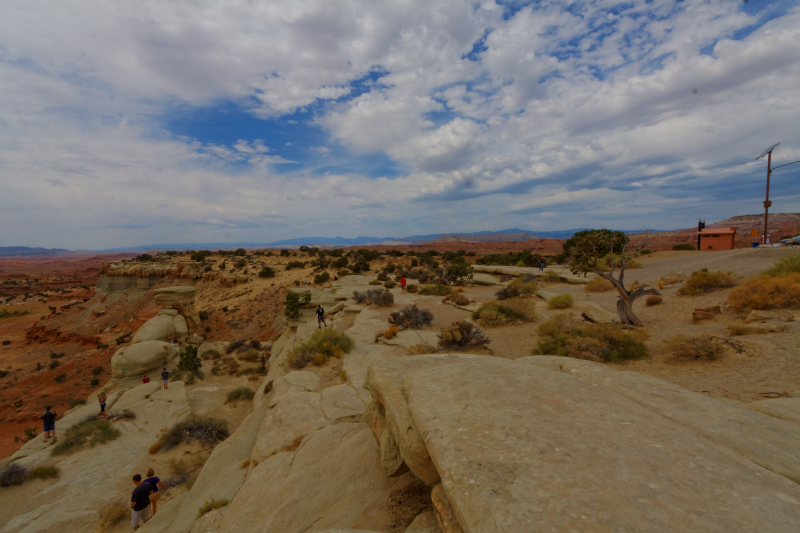
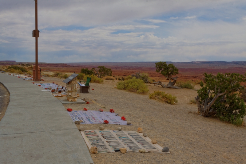
limit sign. We stopped at two or three scenic view
areas, where the native peoples had their handicrafts
laid out on blanket for sale to the traveler. They must
have been expecting the Rockefeller party, though,
because the prices were ridiculously high. This was a
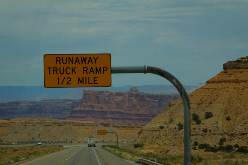
very desolate stretch of road, there was one length of
105 miles with no roadside services, no real exits to
speak of, nothing but desert, rock and sky. There
are a lot of pictures on this page, so take your time |
 |
 |
I
don't think we approached the speed limit too often... |
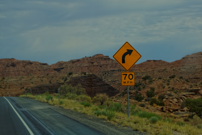
..and slow down to 70 around that curve, Speed Racer...
|
 |
 |
 |
Trinkets
for sale |
 |
 |
 |
 |
 |
 |
 |
 |
Through
the Canyon, coming out onto the lower plains..On to
Green River.. |
|
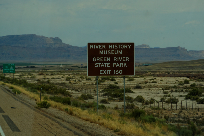
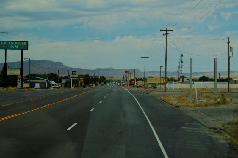
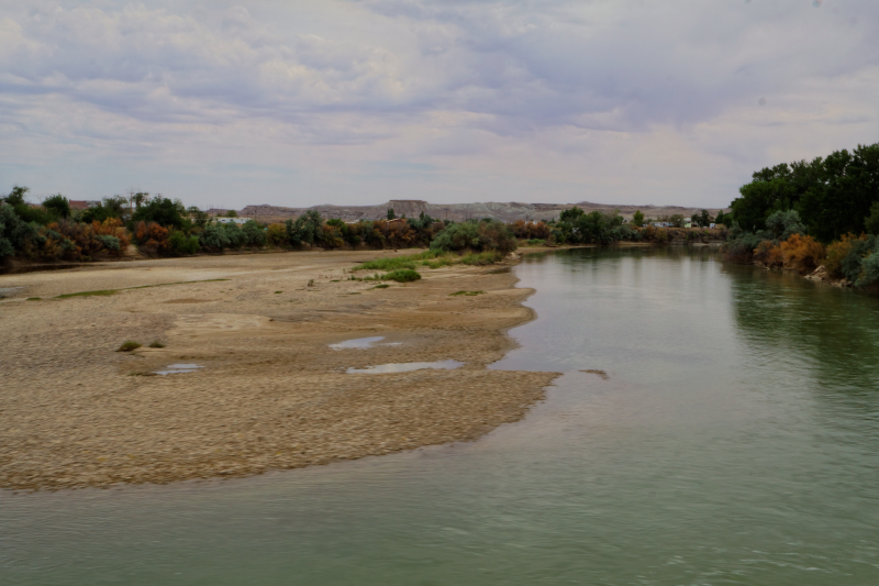
The road to Green River
was a lot flatter. GR is a big jumping off point for
rafting and such down the Colorado River into the Lake
Powell, and further along, the Grand Canyon area.
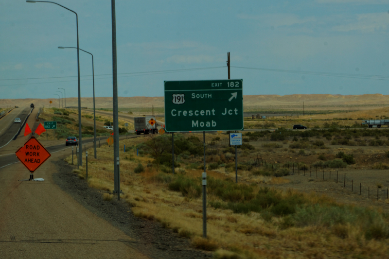
We cross the Colorado RIver, and a few miles farther
down the road, found our turnoff to head to Moab and the
Parks on the way. |
 |
 |
 |
 |
 |
|
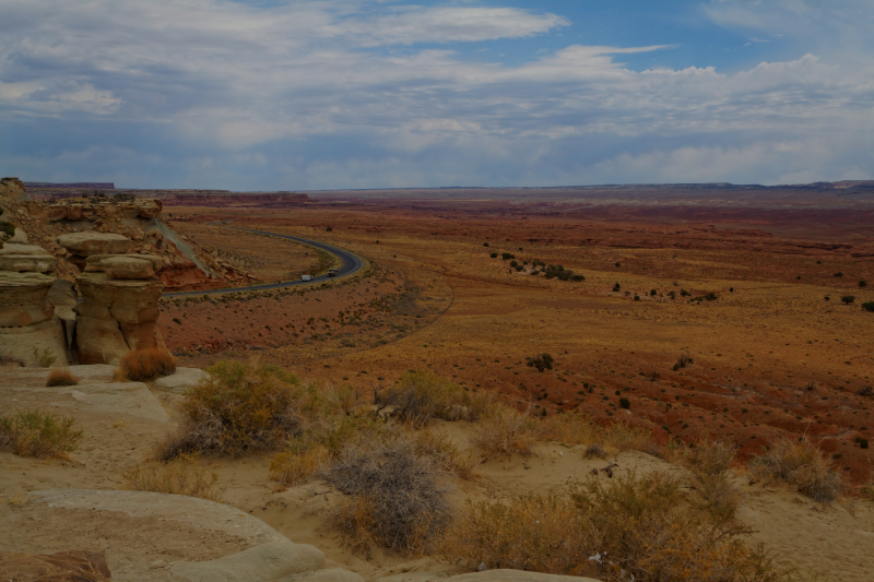
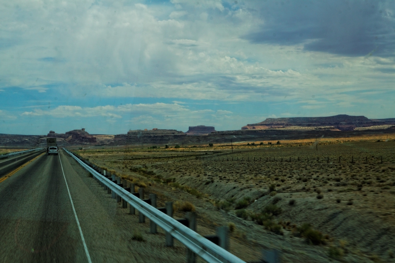
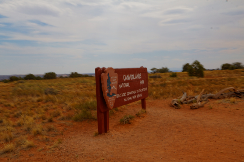
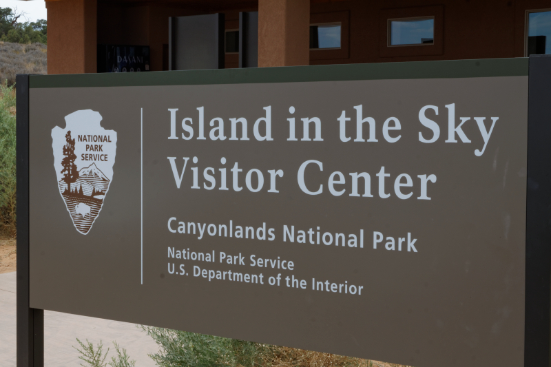
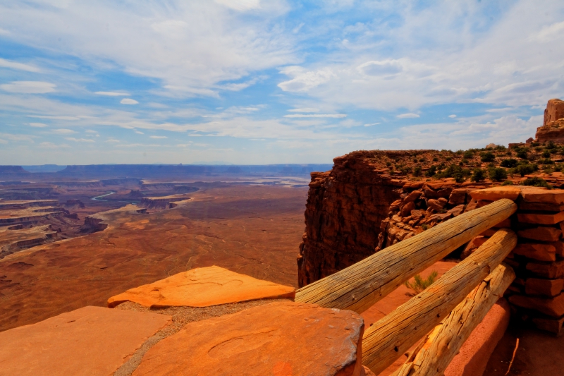
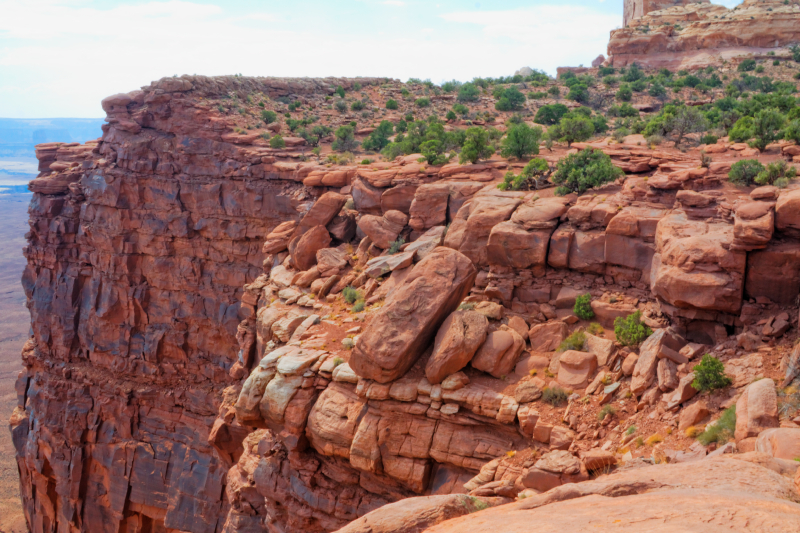
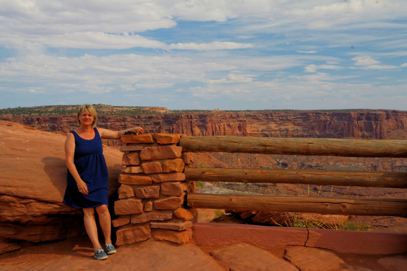
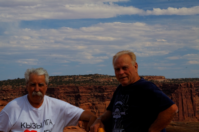
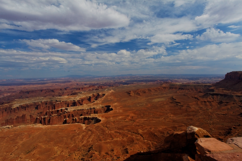
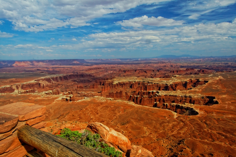
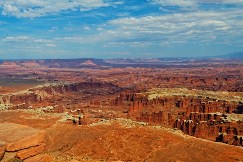
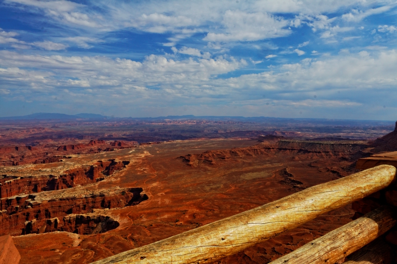
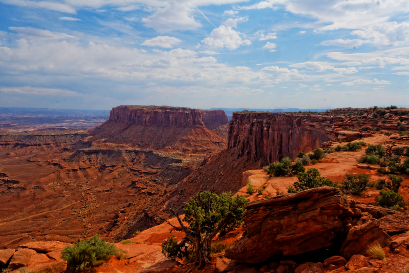
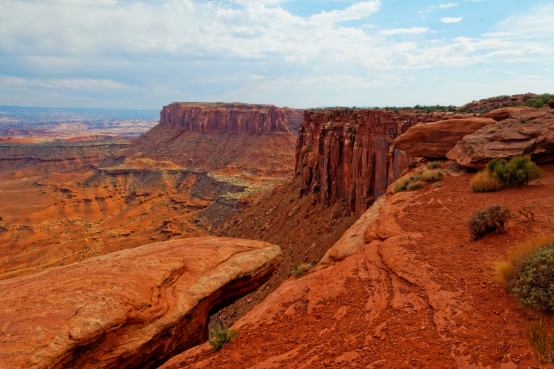
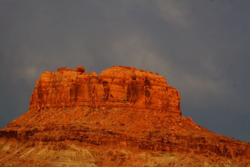
The road out to
Canyonlands NP was deceptive - very flat, just kind of
wandered around out in the middle of nowhere - you don't
realize it, but you're driving up on TOP of the big flat
mesa or whatever it is that surrounds this area. So
there's not a lot of buildup or anticipation as scenery
slowly comes into view or anything like that. Not
like Disneyland where you see the Castle from 20 miles
away... :) Canyonlands is a very basic park, not a
lot of amenities, no lodge or other facilities, just a
lot of land, some canyons, and the occasional bus load
of tourists. There are only a couple of roads, and the
one on the north of the park where we were leads to two
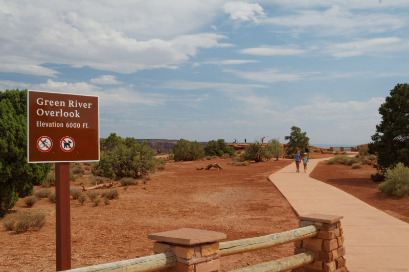
relatively well-known scenic view areas, "Island in the
Sky" and "Green River Overlook". We went to them both.
The rest of the park is about 30 miles south, but
there's no direct road to it and you have to circle
around in about a 100 mile loop to get there. We decided
to do that next time. The afternoon was getting a little
big cloudy, and the wind was still, as it had been,
ferocious but I got some decent shots anyway. |
 |
 |
 |
 |
 |
 |
 |
 |
 |
 |
 |
 |
 |
 |
 |
 |
 |
 |
|
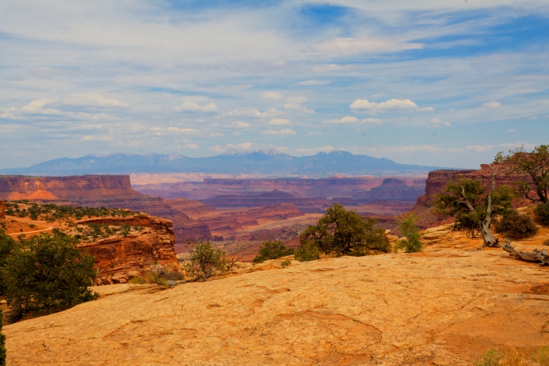
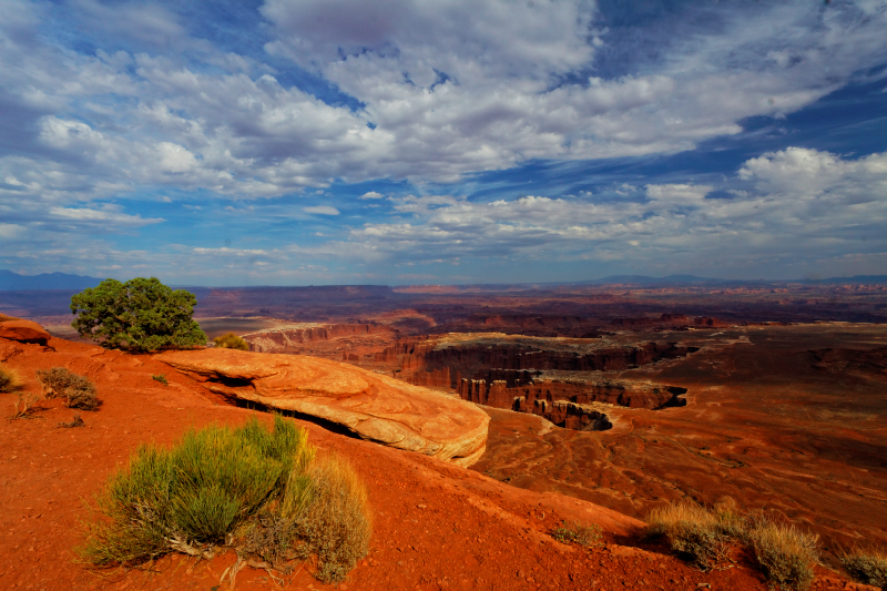
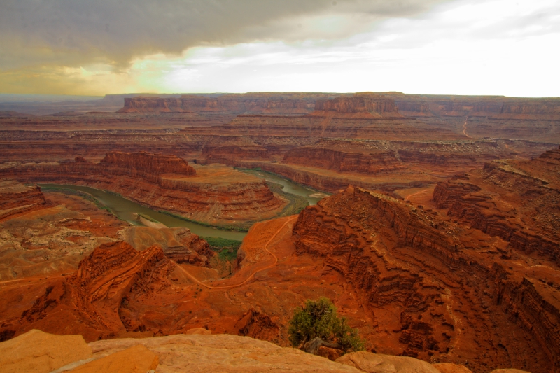
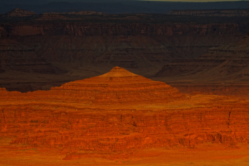
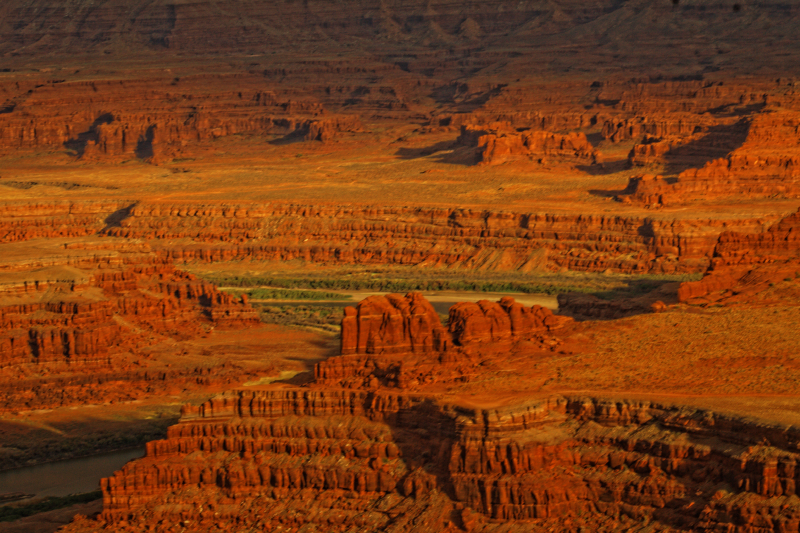
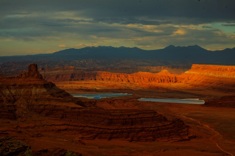
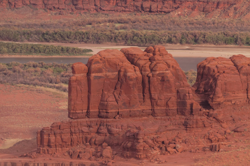
Gorgeous vistas heading
off in all directions, but I wanted to see another well
known spot nearby, Dead Horse Point. This was an
area along the Colorado river where, according to
legend, a bunch of horses were rounded up by local
cow-pokes back in the 19th Century, and after culling
out the good ones, they left the remainder penned in to
starve. I don't buy it, considering how much the cowboy
depended on his horse - it's like going to the pet store
to buy a puppy and then setting fire to the place after
you leave. I think it's much more likely that some poor
horse DID starve to death, or maybe just die of natural
causes out here someplace, and the "dead horse"
descriptor just stuck. We rode back out of
Canyonlands NP and drove the short distance back to Dead
Horse Point state park. We were loosing our light as we
got here, but I got some nice shots of the setting sun
turning the western hills to gold. As we were leaving,
the sun finally broke through the mass of clouds and
haze that had been dogging us all day. We noticed
shimmering spots of silver in the distance, that looked
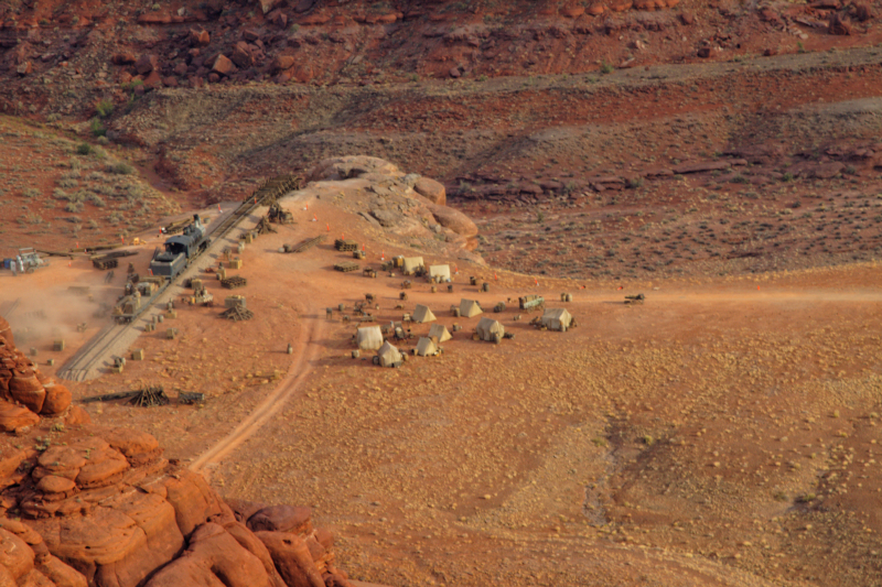
somewhat unnatural. We found out later they were potash
mine drying ponds. We also found out that the odd
railroad camp we saw way down by the river was a movie
set for 'The Lone Ranger', starring Johnny Depp, due in
theaters summer of 2013. |
|
 |
|
 |
|
 |
|
 |
|
 |
|
 |
|
 |
|
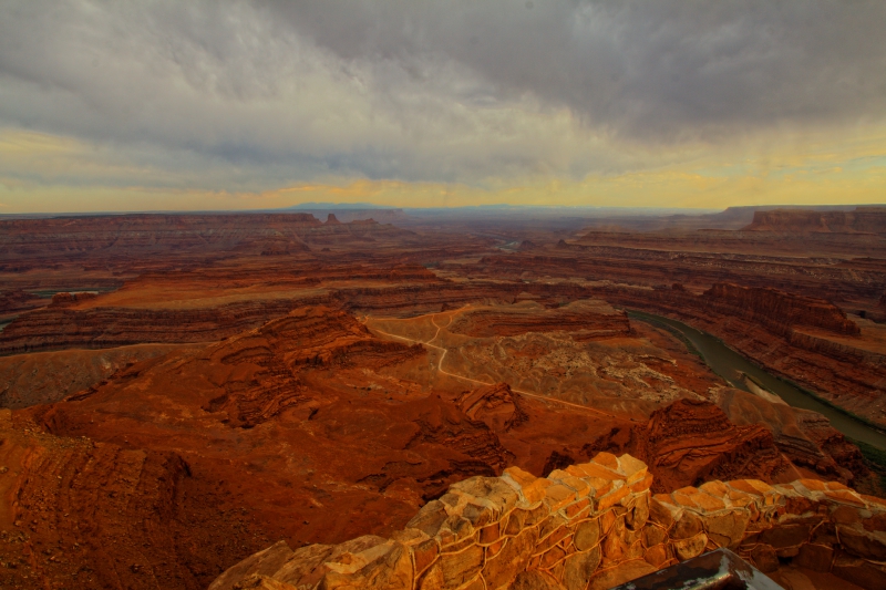
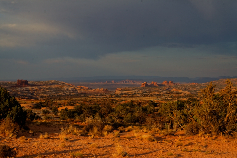
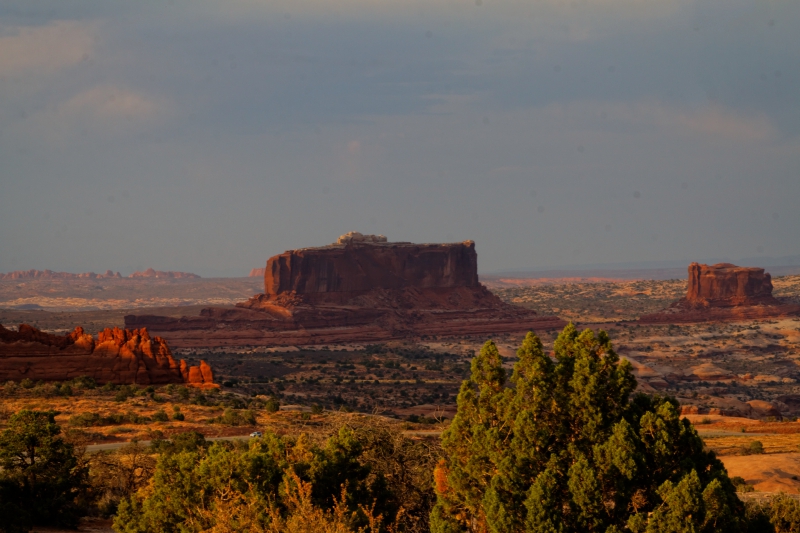
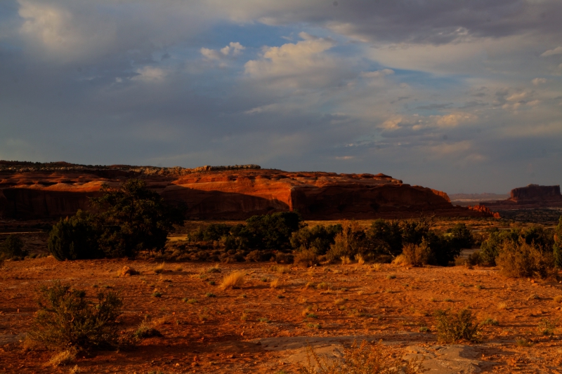
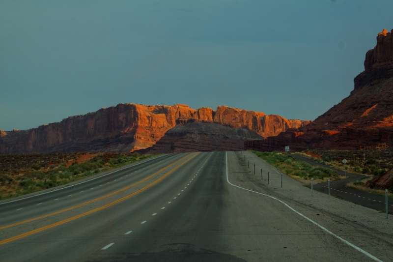
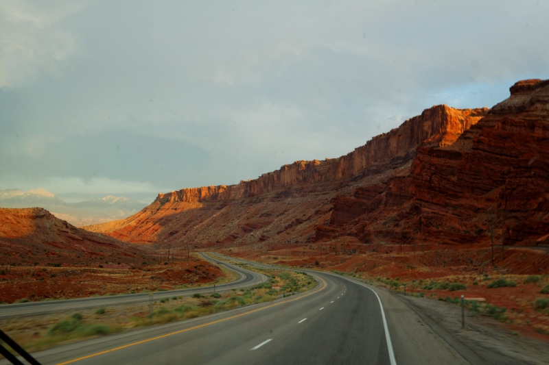
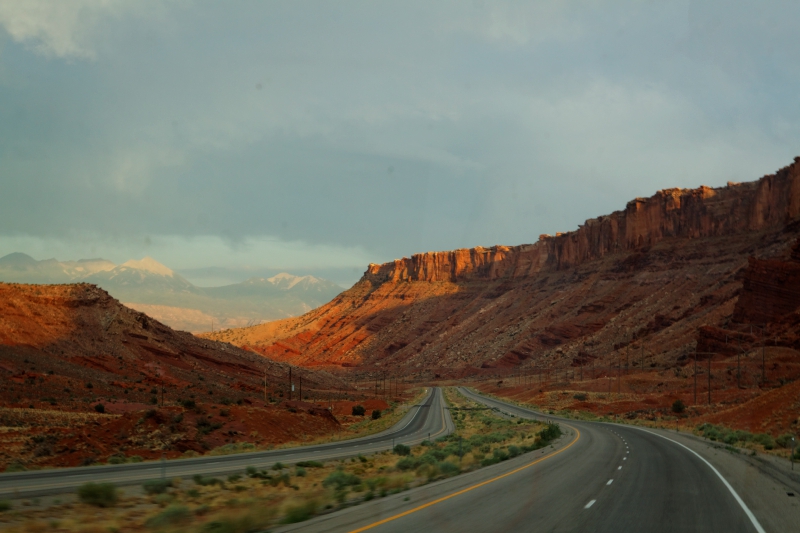
After Dead Horse Point, we drive the few
miles back up the road, and then onto Moab. Dark clouds
covered much of the sky, and it looked like a big storm
was brewing, but nothing ever came of it. It did make
getting photographs a bit challenging, but every now and
then the setting sun broke through the clouds to light
up some rocks in an interesting way. We passed high
cliffs, desert scrub, and some neat rock on the way to
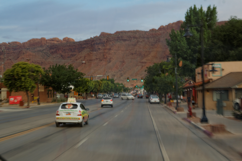
Moab. Moab is a big 4X4 excursion spot, and is the main
point of civilization in these parts. Nice little town
along the Colorado River, with a high bank of mesas
paralleling the roadway on the other side of town. We
found our KOA campground and pulled in for the night,
just as darkness fell. Tomorrow would be our visit
to Arches National Park for the main part of the day,
then on to Colorado. |
|
 |
|
 |
|
 |
 |
 |
 |
 |
 |
 |
 |
|
End of Day 10 - 327 miles |
|
Day 9 |
|
Day 11 |
| |
|
|