Terrain & Route Map, Columbia MO to Beckley, WV
 Our longest day, by far. The middle of Missouri was hot, even at 6 am when we roused up. Today, we’d be following I-70 across the rest of Misssouri to St Louis, where we’d cross the Mississippi River for the second time this trip, and take the exit for Interstate 64, heading slightly south across the bottom of Illinois and Indiana again, then crossing the Ohio River into Kentucky at Louisville, crossing the Bluegrass State and then crossing the Ohio again, into West Virginia, where we’d head towards Charleston and east as far as we could. The Cottonwoods RV park, now that we could see it in the light of day, was pretty nice, but not very exciting.
Missouri
It was hot, humid, and muggy. We’d been hot, but dry out west, and humidity had not been a noticeable effect for over a week. But St Louis seemed enveloped by a miasma of humid sweaty air, so the A/C in the RV was going full on, powered by the genny. The loud shrieking fan belt squeak from the day before in Kansas City had, mercifully, abated. A little ways before we came into St Louis, we crossed a low and fairly dry Missouri River, meadering along, headed east to where it would empty into the Mississippi. The Missouri had been slowly making its way eastwards since about Kansas City, and we were only about 5 miles from where it would connect to the broader Mississippi up ahead. As we neared St Louis, traffic picked up and it was very warm and muggy. After some loop-de-loops and meanderings to find I-64, we spied the Mississippi River bridge up ahead, and headed across.
Illinois
We came down off the bridge into Illinois.
Big Whoop. It looked just like it had two weeks ago, but in the other direction. I took a few shots but I was driving so there’s not much of a record.
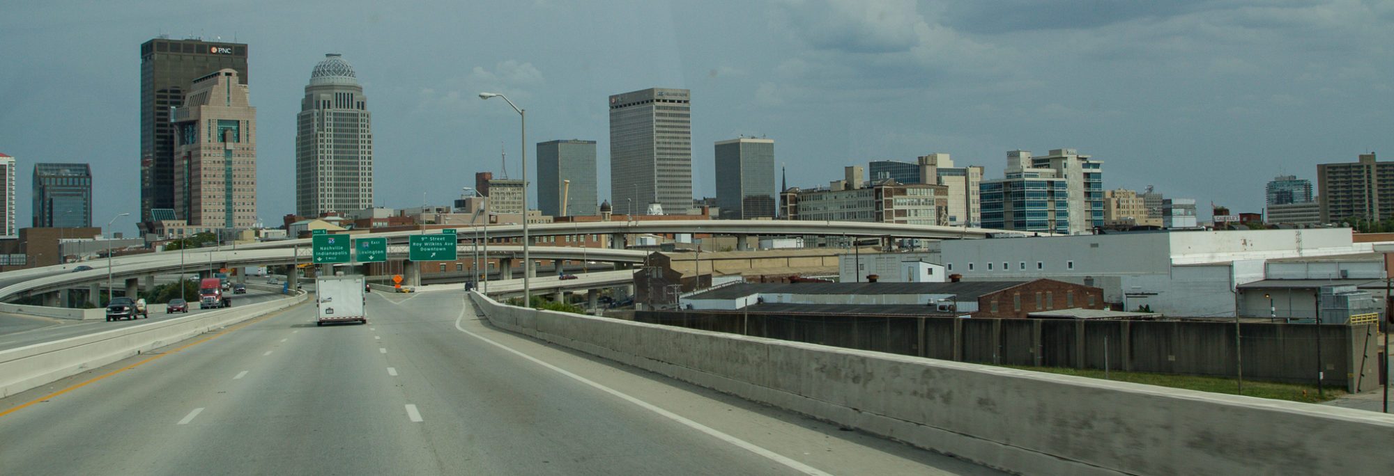
I actually didn’t take another picture until we hit Louisville. We crossed over the Ohio there, which was quite a river. The interstate slung between the river and the downtown area, such as it was, and I noted a lot of bridges crossing the river. We passed a big KFC place, and the Louisville Slugger field, but I jiggled the camera and it’s a bit out of focus. Sorry.
Kentucky
Once past L’ville, the road weaved up and down across Kentucky’s hills and valleys, past farms and such. We were losing light as we went east of course. But there were some interesting sights. A few miles out, there was a tunnel through the ridge, and then we came out at the Visitor Center which was, of course, closed. After all, it was 4 o’clock in the afternoon in the summer.
West Virginia
We crossed into West Virginia, around 7:30 or 8, I believe. I took a few pictures as we crossed the Ohio River for the second time that day, but then it got too dark to get a good picture while we were moving. We decided to keep on going as far as we could today, since we wanted to be home by the end of the day tomorrow. We motored into Charleston, which was under construction, and we hit some of the roughest road on the whole trip here. Orange barrels lit the way. We gassed up at a little station just off the interstate but misjudged the size of the thing, and spent 10 minutes wriggling the RV around until we were pointed back in the right direction. We twisted and turned along the curvy roadway, and then did the same though the middle of West Virginia. It turned foggy, which made the journey all the more exciting. Up, down, left, right, we covered every compass direction several times over for the next few hours in what seemed like pitch darkness. Finally, around 10 pm, we decided to pull over in Beckley, finding a Cracker Barrel to park in over night right off the interstate. We found a corner of the parking lot and turned off. it had been a long hot day.
Day 14 – Somehwere around 700 long, hot miles, and four states


