Friday Morning Take-off
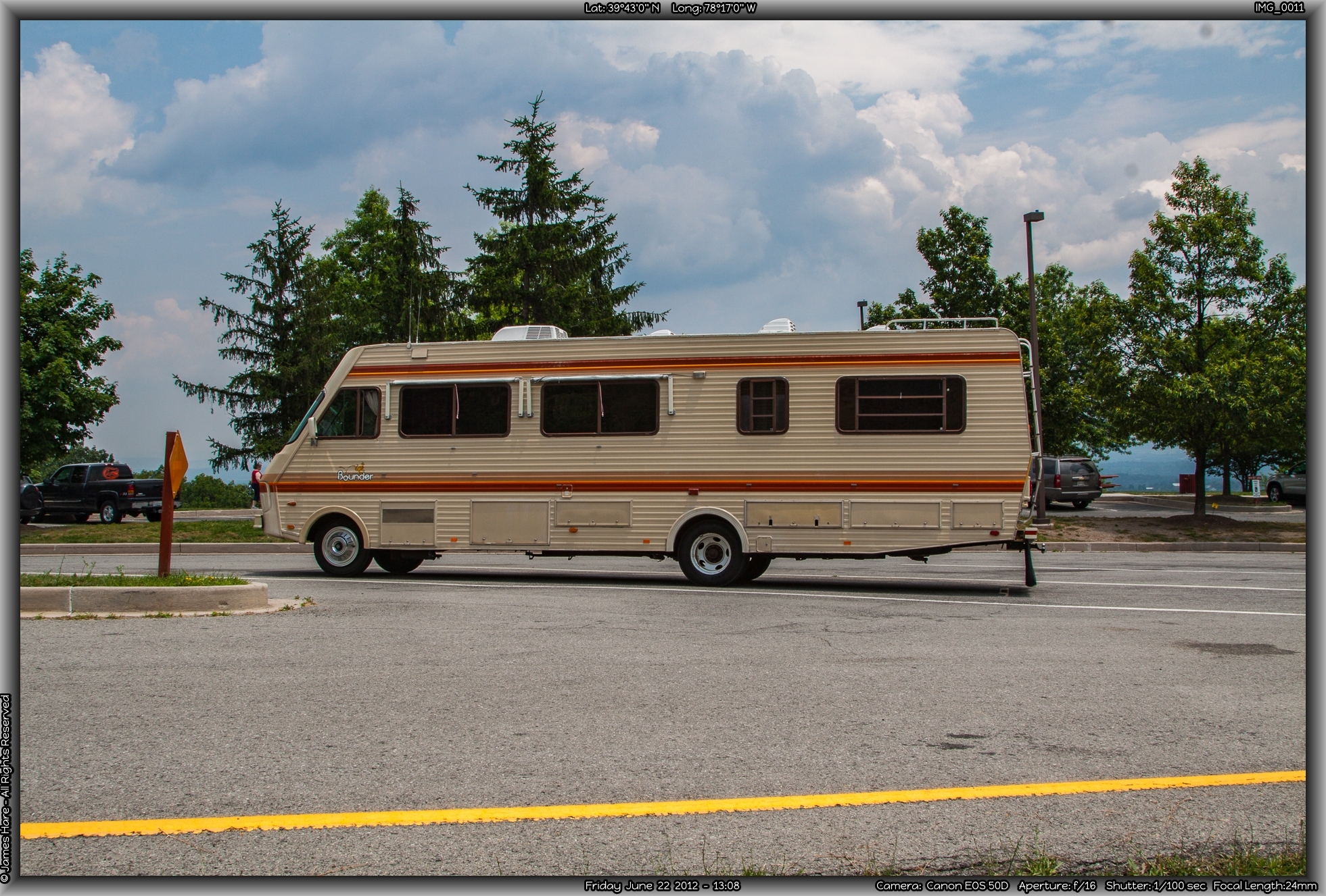
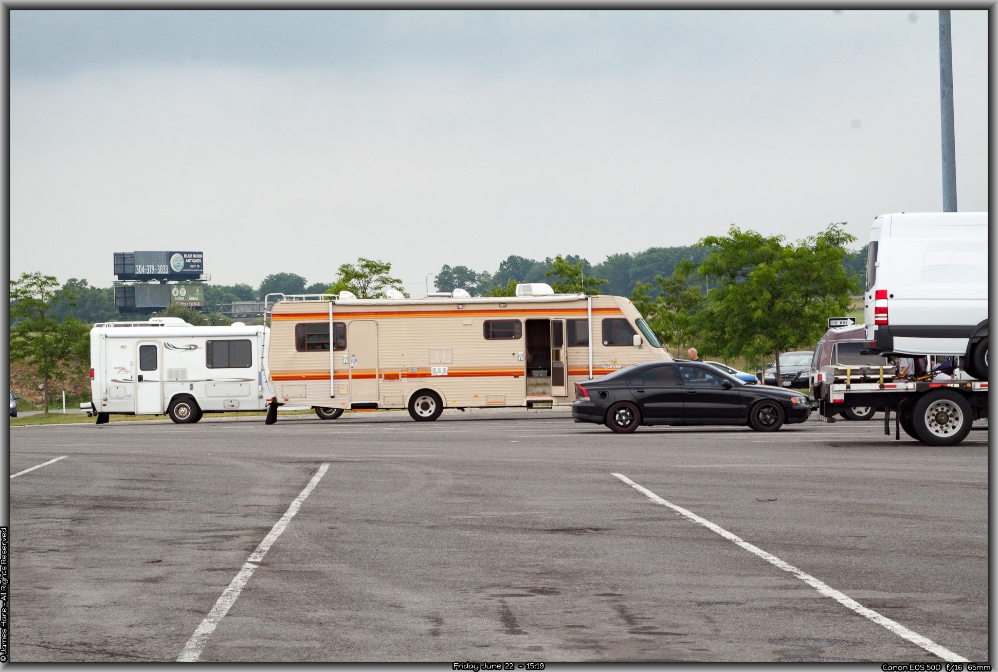
We spent about 45 minutes packing the RV with foodstuff and other perishables that we didn’t load up the night before, and carried out the last of the clothes and other miscellaneous junk. After about ten minutes, we were drenched in sweat. I made a last minute check of the perimeter, making sure that nothing was falling off. The day before, we’d filled the water tank with about 40 gallons of fresh water from a hose at the local Walmart, as Melissa didn’t want to use the house water, which she has always suspected of being somewhat carcinogenic, at best. Our grey and black water tanks were empty.
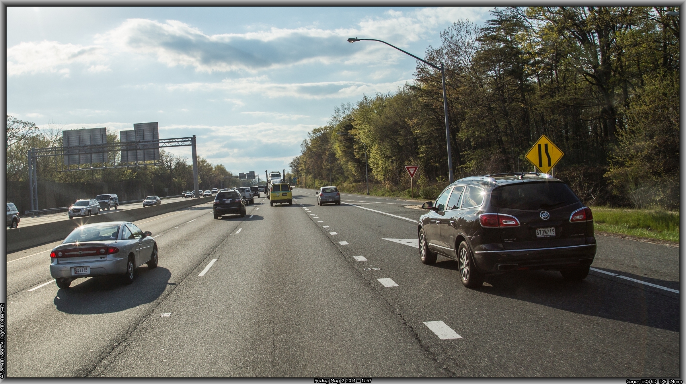
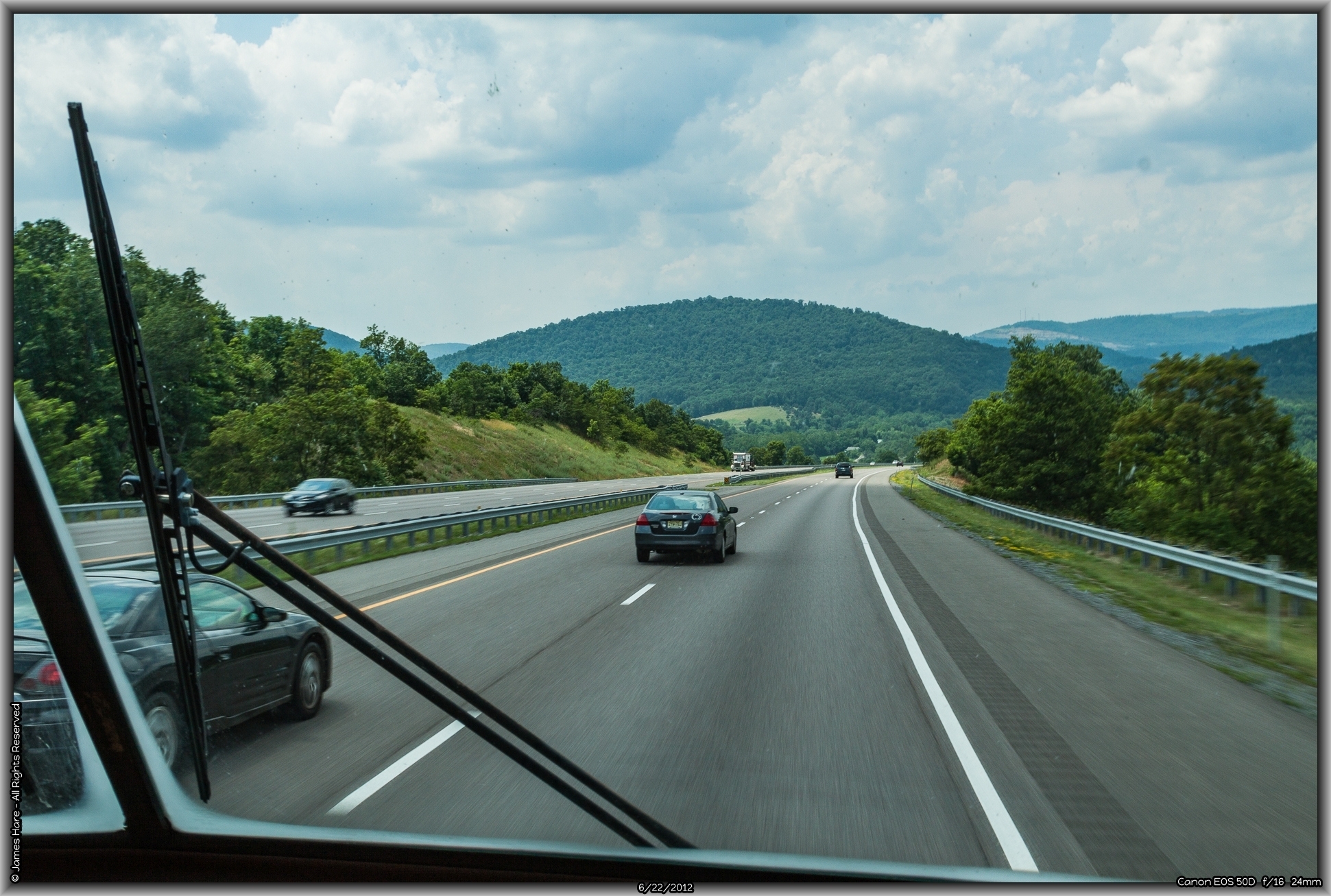
We hit the road about 9:30 with everything pretty well tied down and ready to go. Melissa is a crafter, and so brought along about 70 pounds of beads in small trays. I have been camping and such since a Cub Scout, so I was pretty much aware of what to expect on a long journey like this. Like almost any other summer morning in the mid-Atlantic East Coast of the U.S., it was hot, humid and muggy – we’d been having a bit of a heat wave the last few days, and the temp hovered near 90’F as we pulled away, and the humidity was onerous. We turned on the AC of the Bounder almost immediately. That’s one of the benefits of traveling in a motor home, you can turn on the generator and run the industrial-strength A/C unit, rather than depending on the dash unit itself. We hardly ever turned it off for the entire two weeks.
Our first stop was for gas about seven miles from home. $3.22 per gallon. At that time, New Jersey enjoyed one of the lowest average gas prices in the country, as our state gas tax was low compared to most. It would be interesting to see prices across the country. We figured that taking the RV and thus saving on expenses, would be economically beneficial so long as prices stayed below or around $3.50 a gallon. Much more than that, and it would have been cheaper to drive in a regular auto and stay in motels along the way.
Delaware – State #2
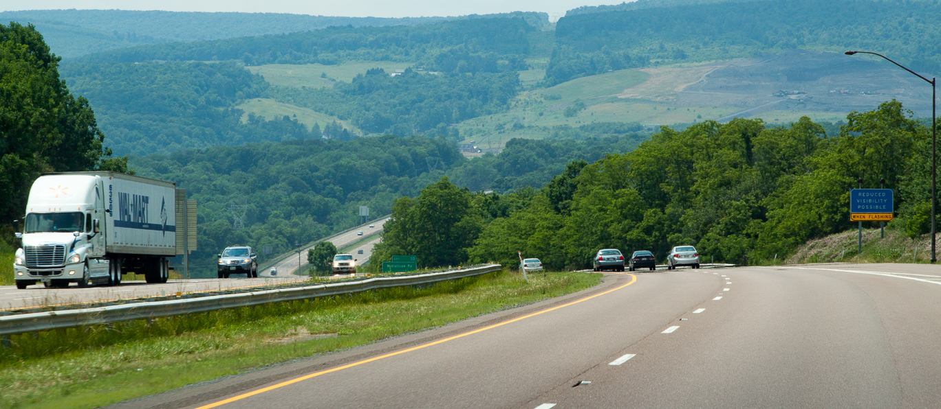
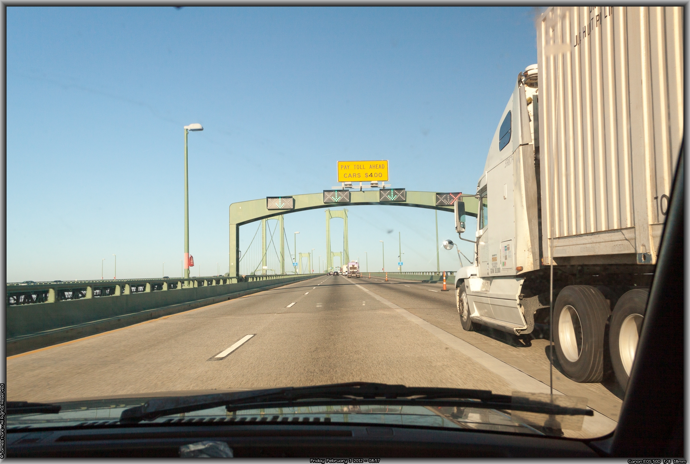
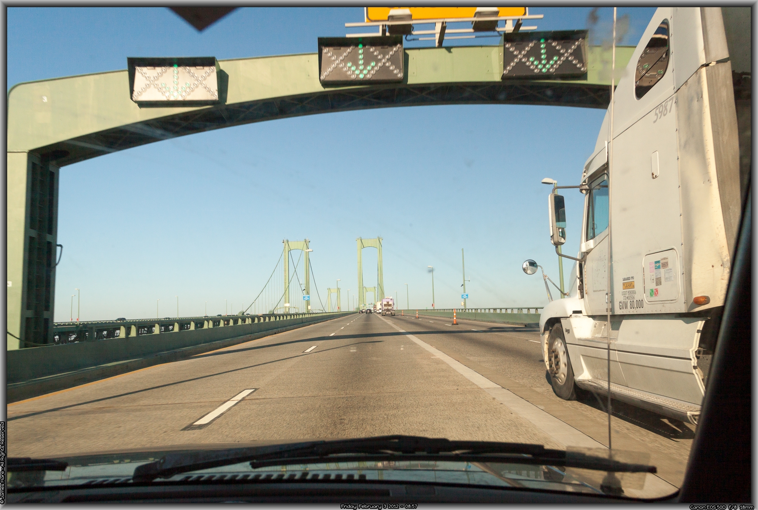
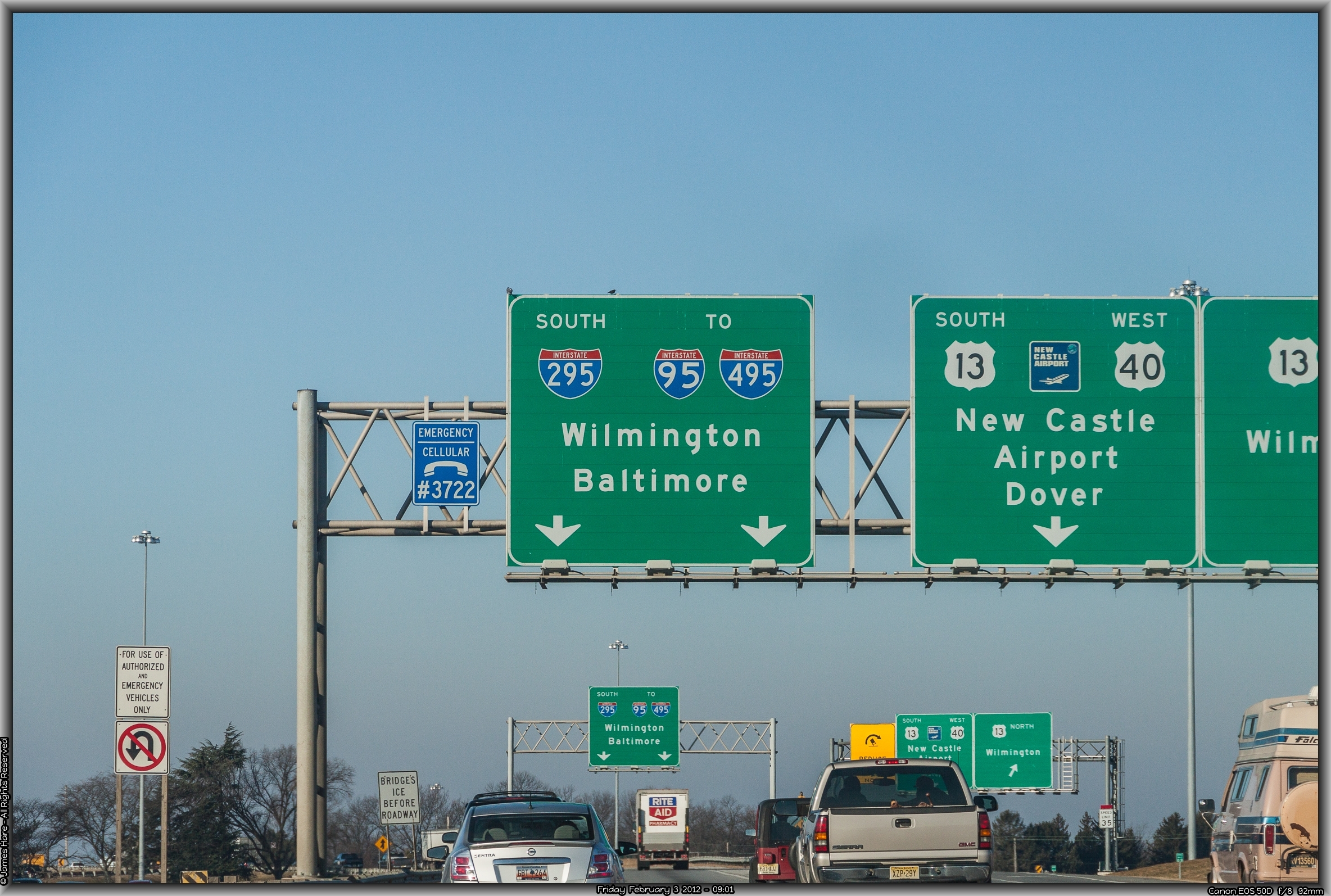
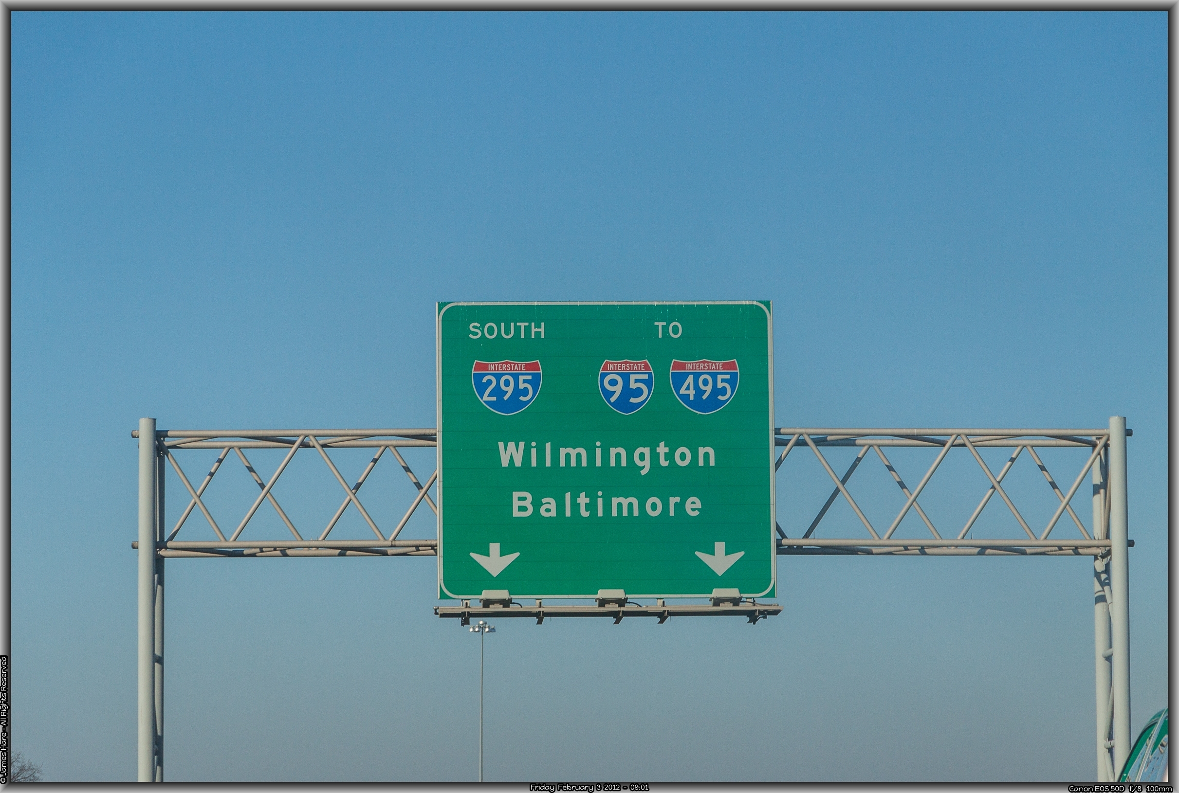
We crossed into Delaware via the Delaware Memorial Bridge without incident and descended into The Diamond State, navigating the familiar cloverleafs, left-hand exits and other memorabilia of northern Delaware roadway. Since the orange construction cone has been adopted as the state tree over there, we were more than prepared for any challenges I-95 might throw at us. The bridge’s 12 exit lanes merge into two within about 50 yards, so that’s always a joy. Luckily, our route let us stay hard to the left, so I just swung over to the leftmost lane and hung there, letting the faster, more impatient folks pass me on the right. We circled around a bit and then merged into the I-95 freeway proper, where five lanes in either direction seem inadequate almost all the time. Construction made the route tricky for outsiders, as one never knew when one’s lane would terminate abruptly at a large concrete barrier. Lane changes were made with the rapidity of synapse-switching in your brain, rarely with the assistance of signals. Every now and then, two cars would try to occupy the same space at the same time, resulting in obvious deference to the laws of physics. Luckily, there was a large multi-ER hospital literally a mile away, and an ambulance ride took less than 15 minutes.
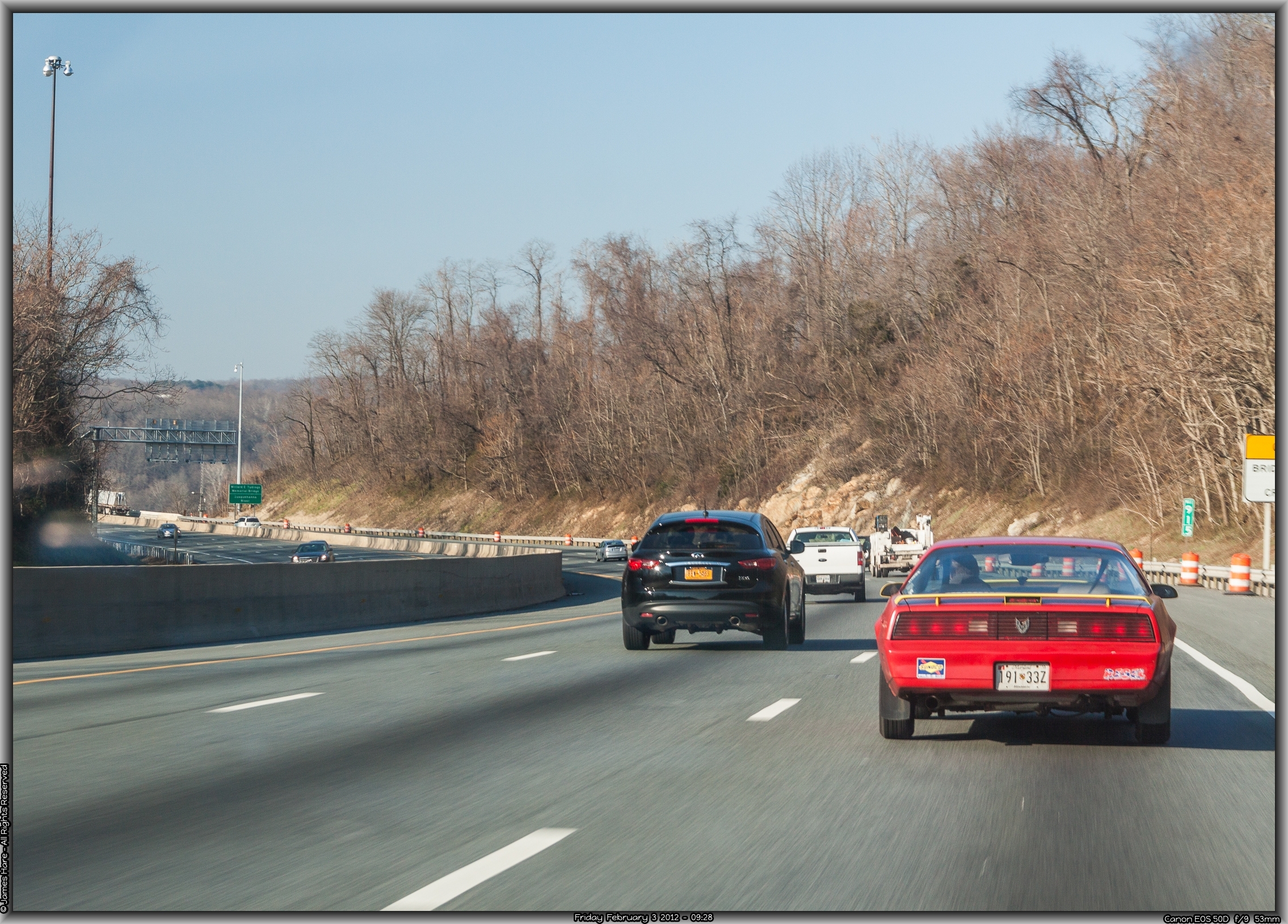
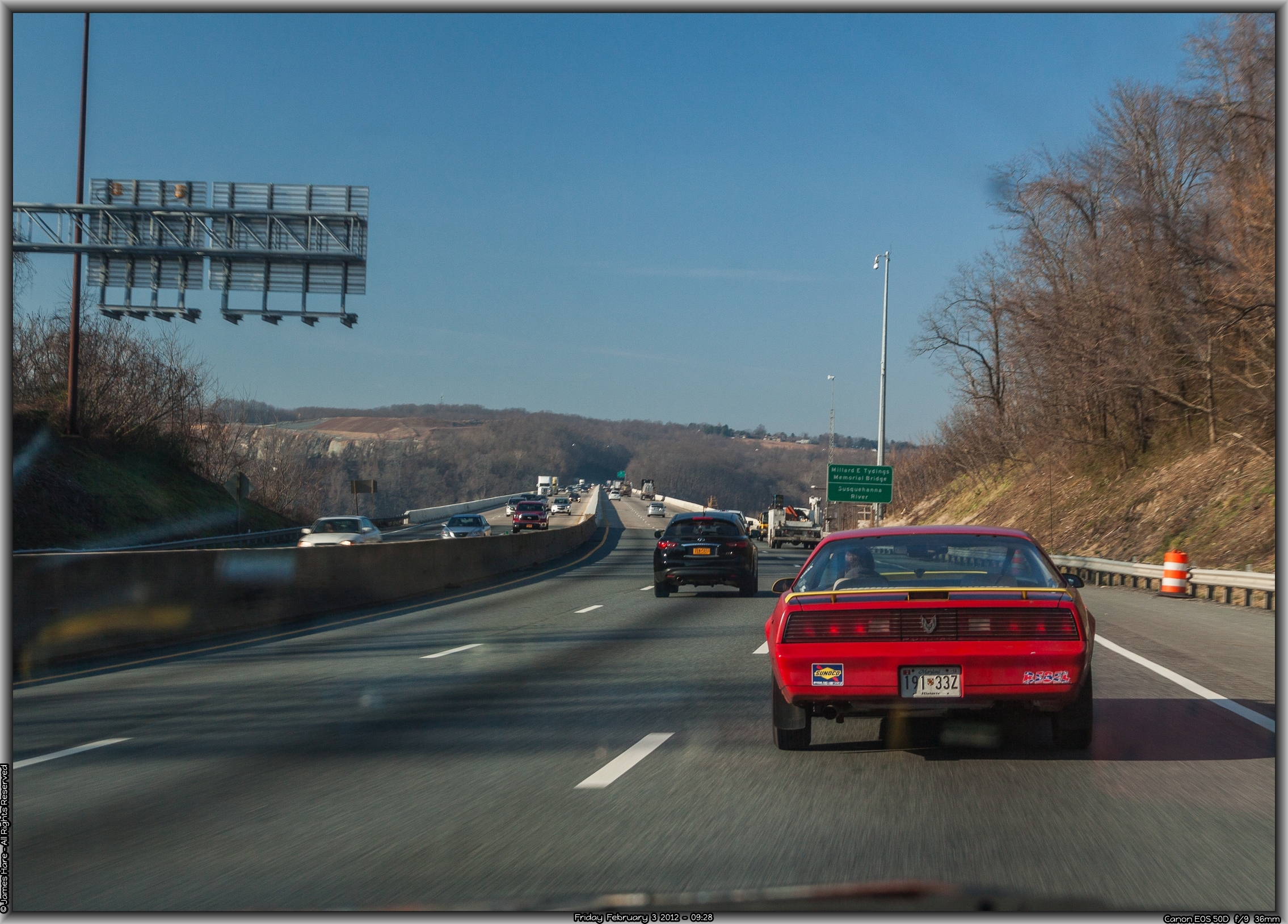
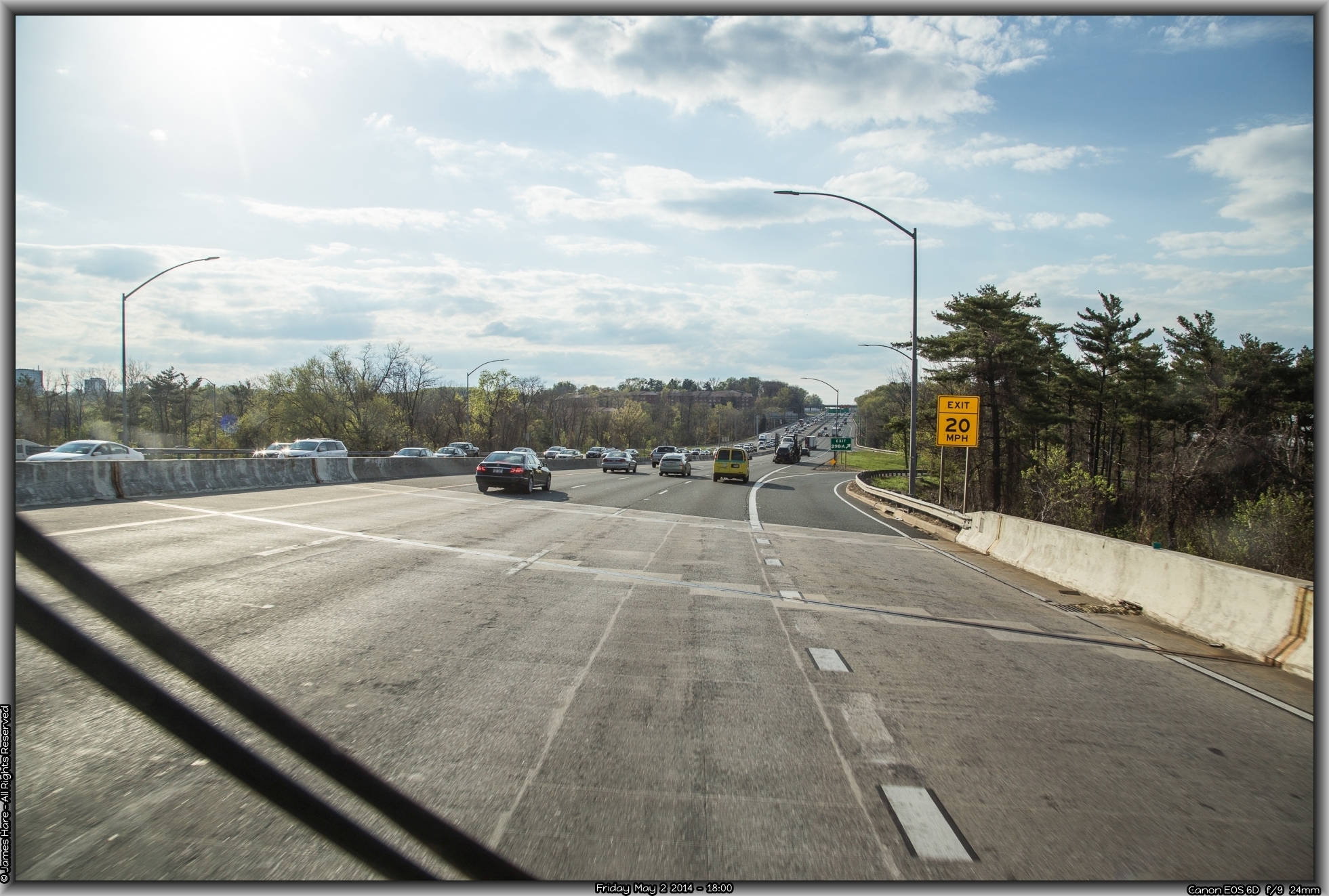
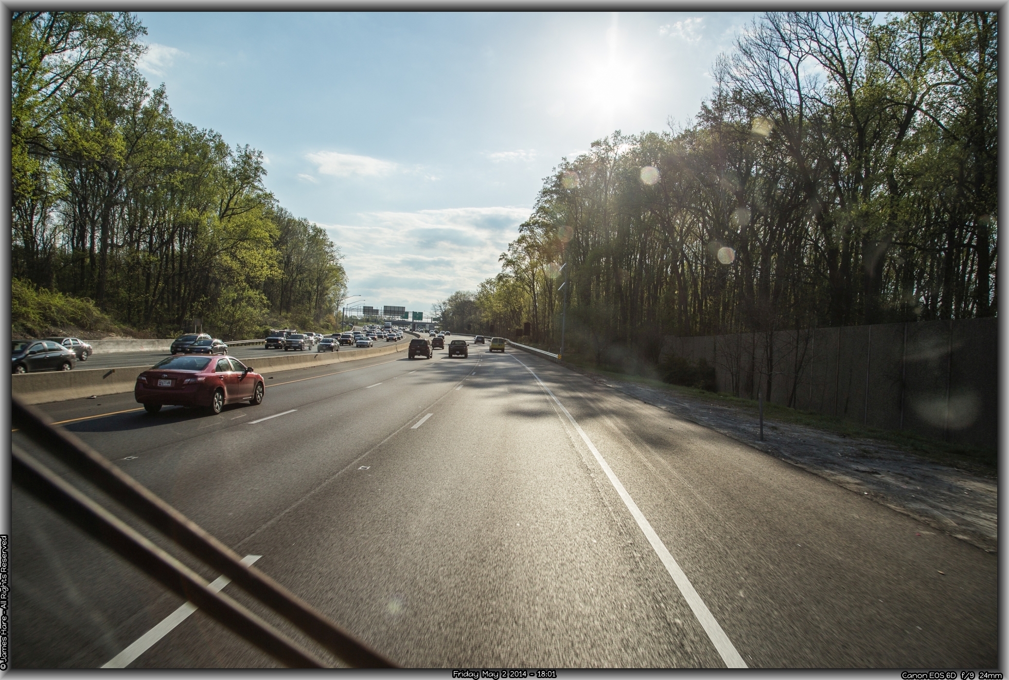
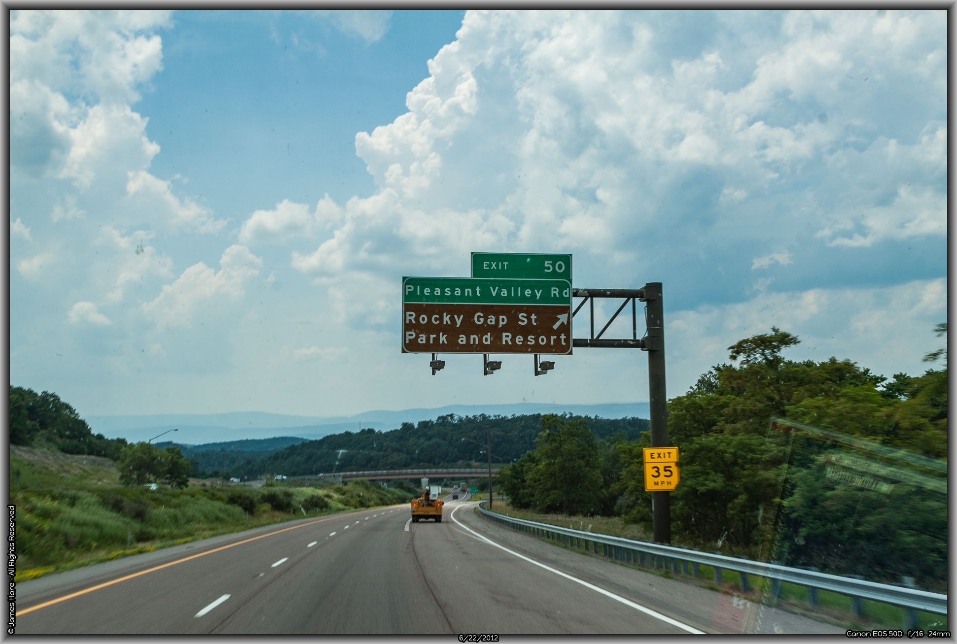
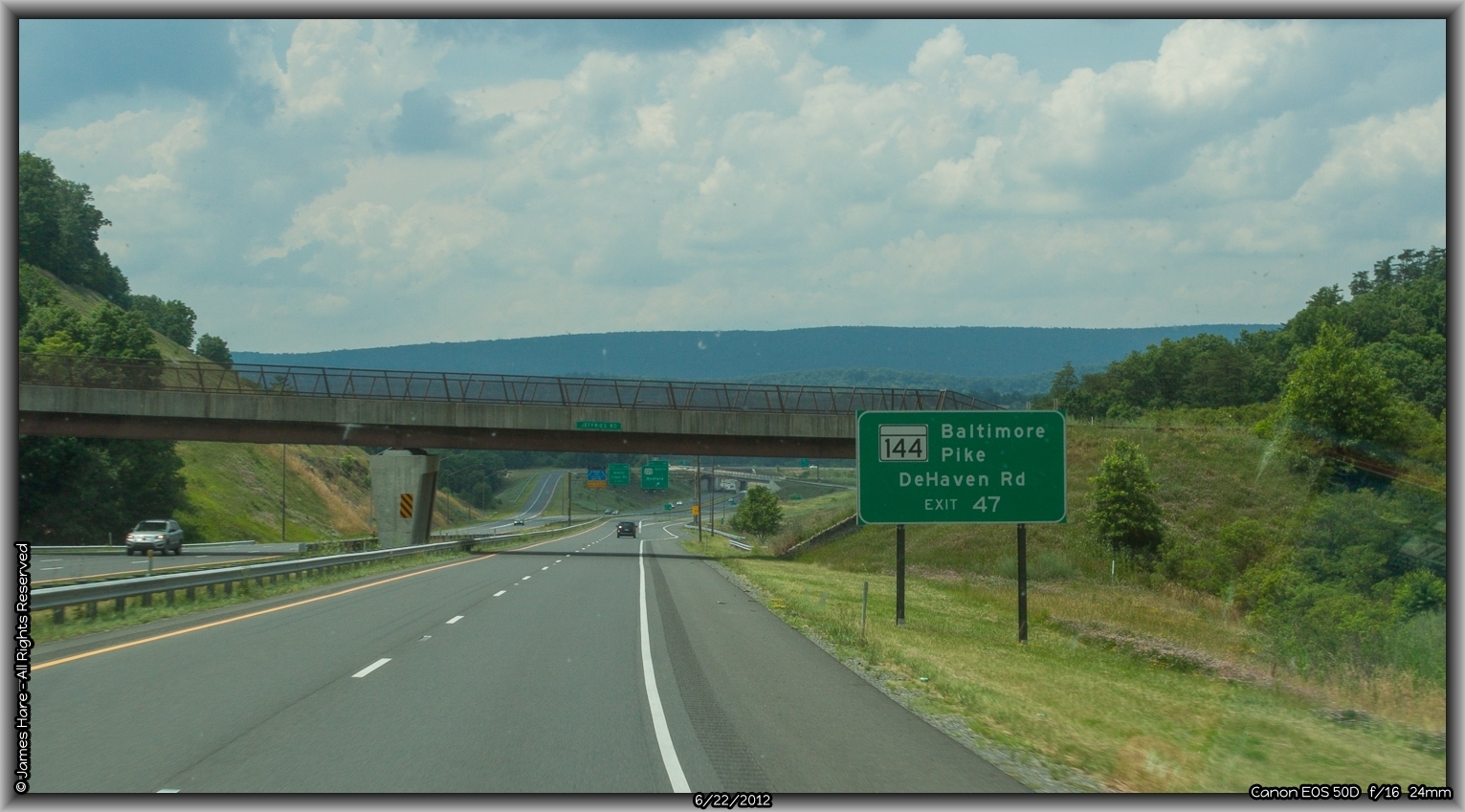
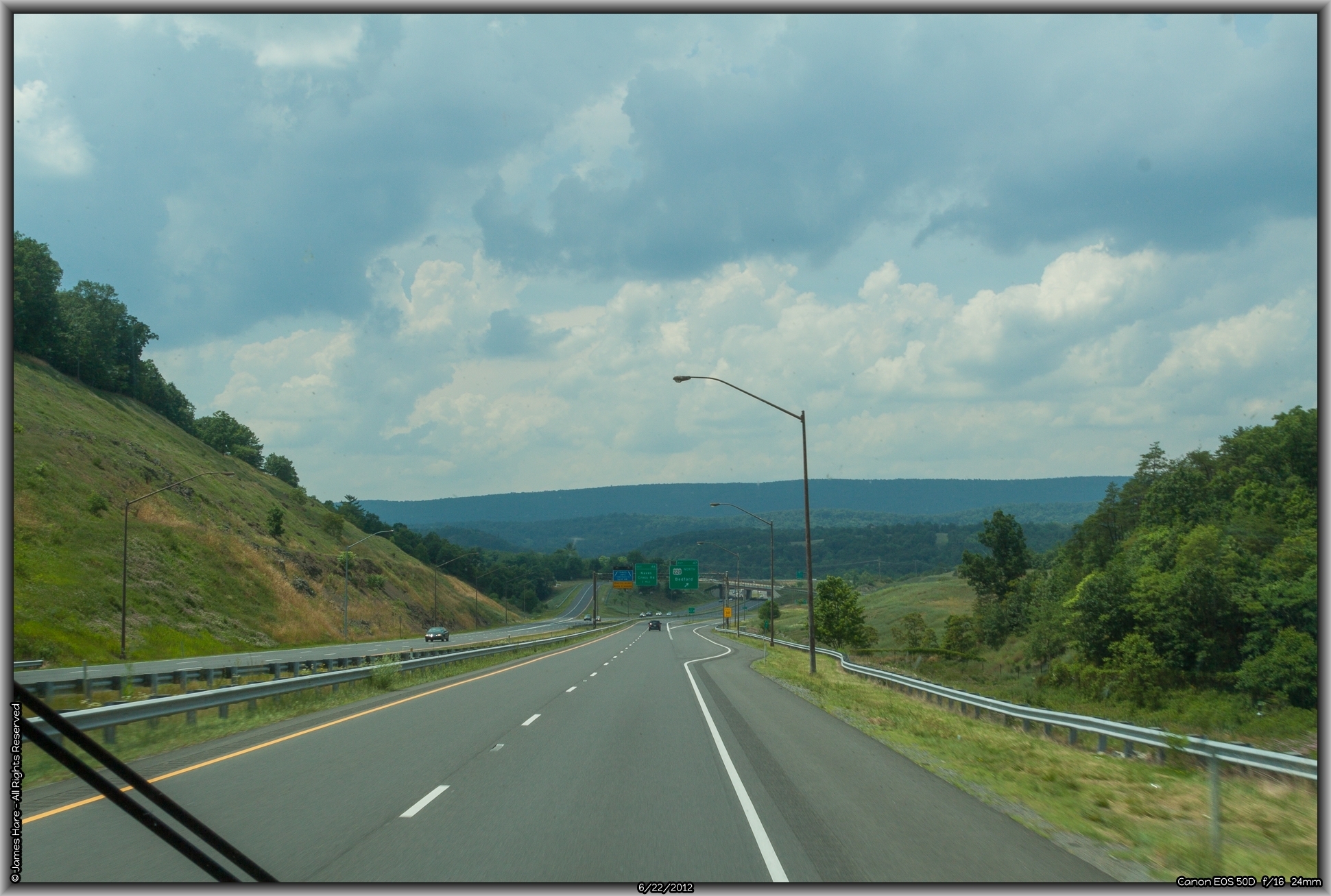
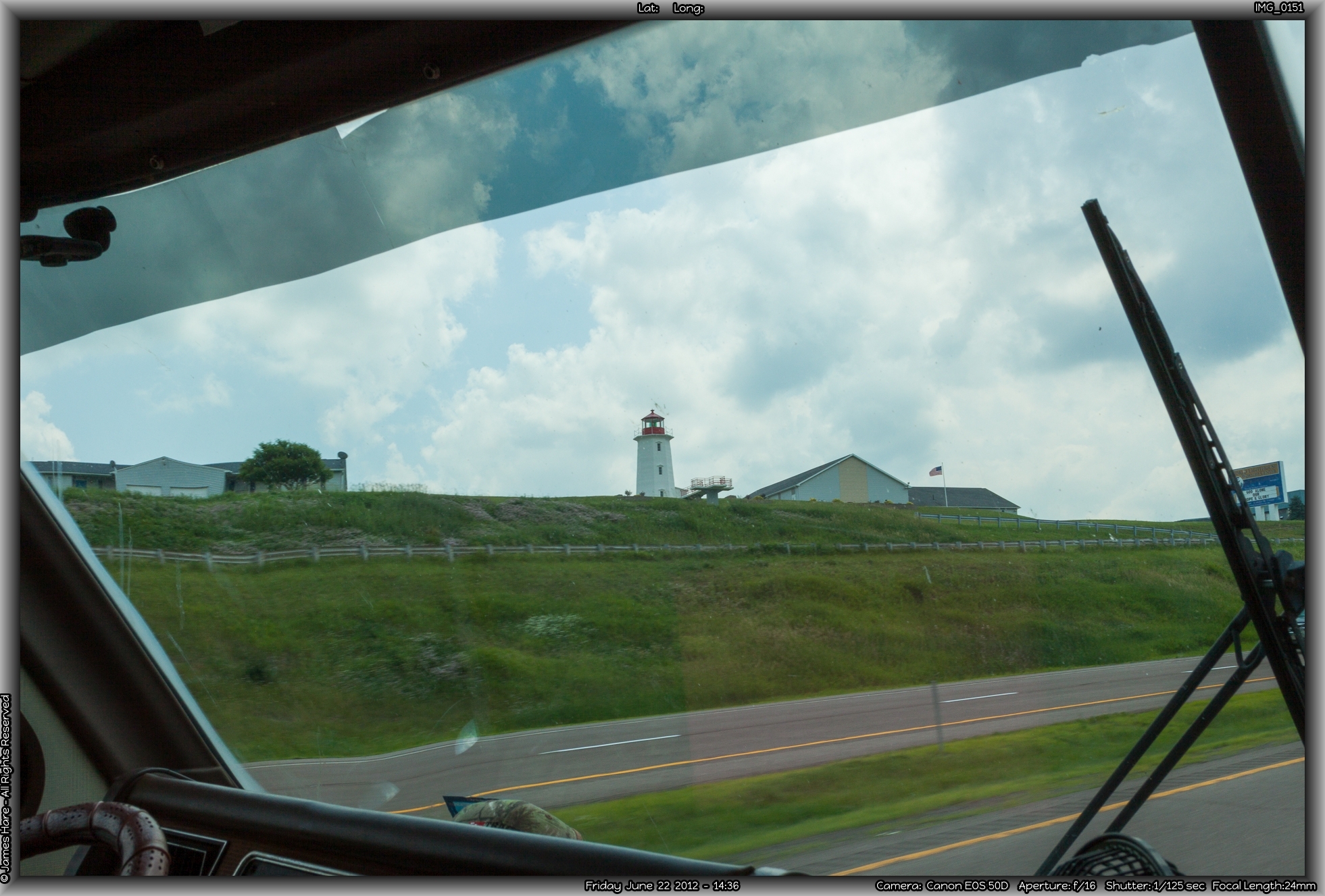
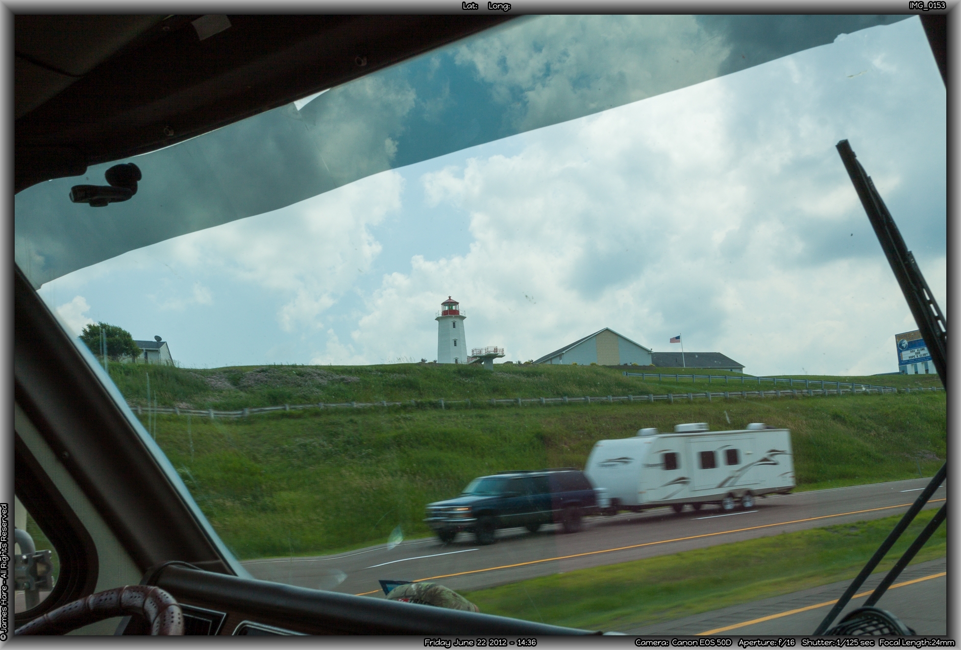
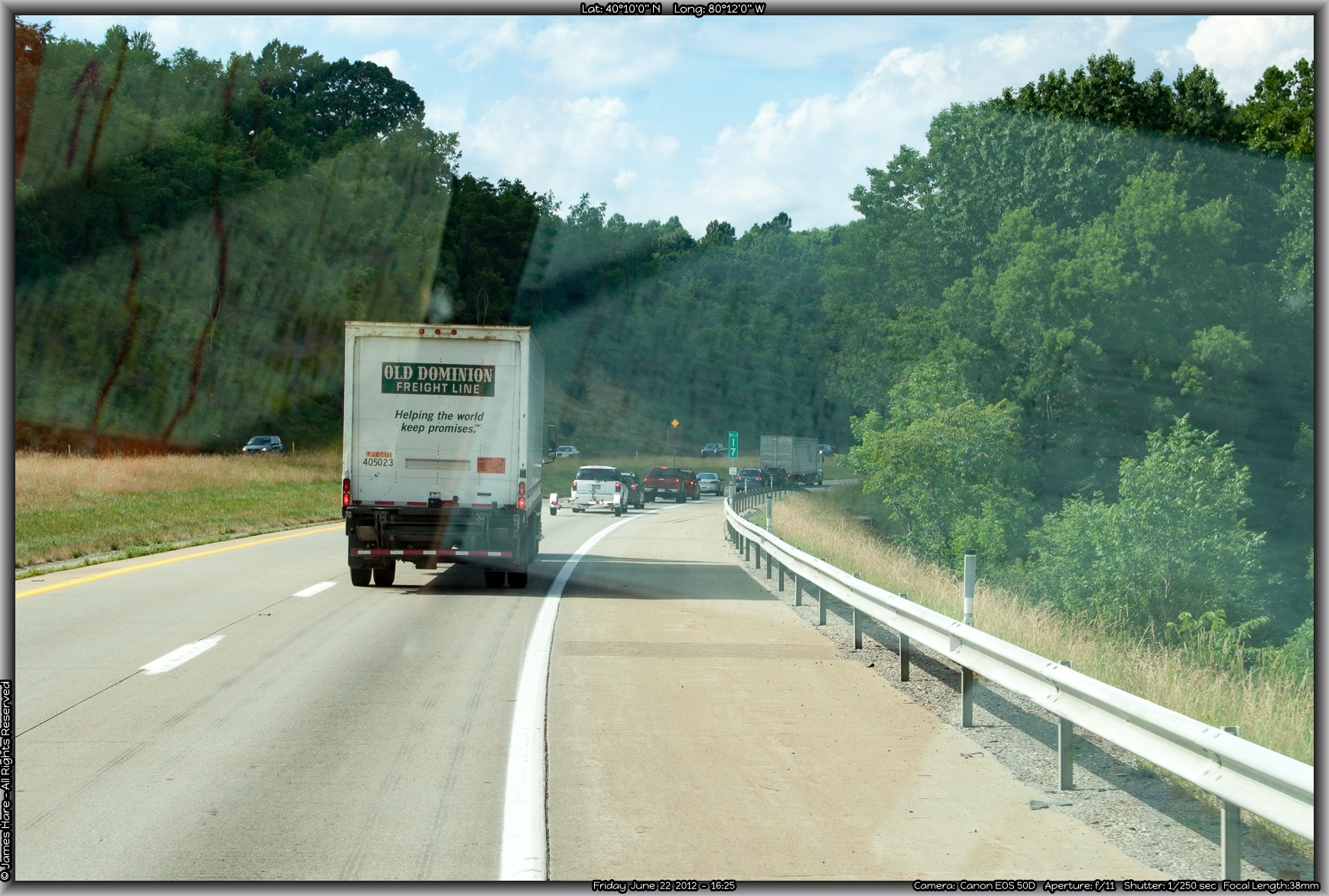
(Author’s Note: Not all of the pics on this page are from the 2012 Vacation. They may be from trips earlier, or later, but are indeed representative of the text descriptions)
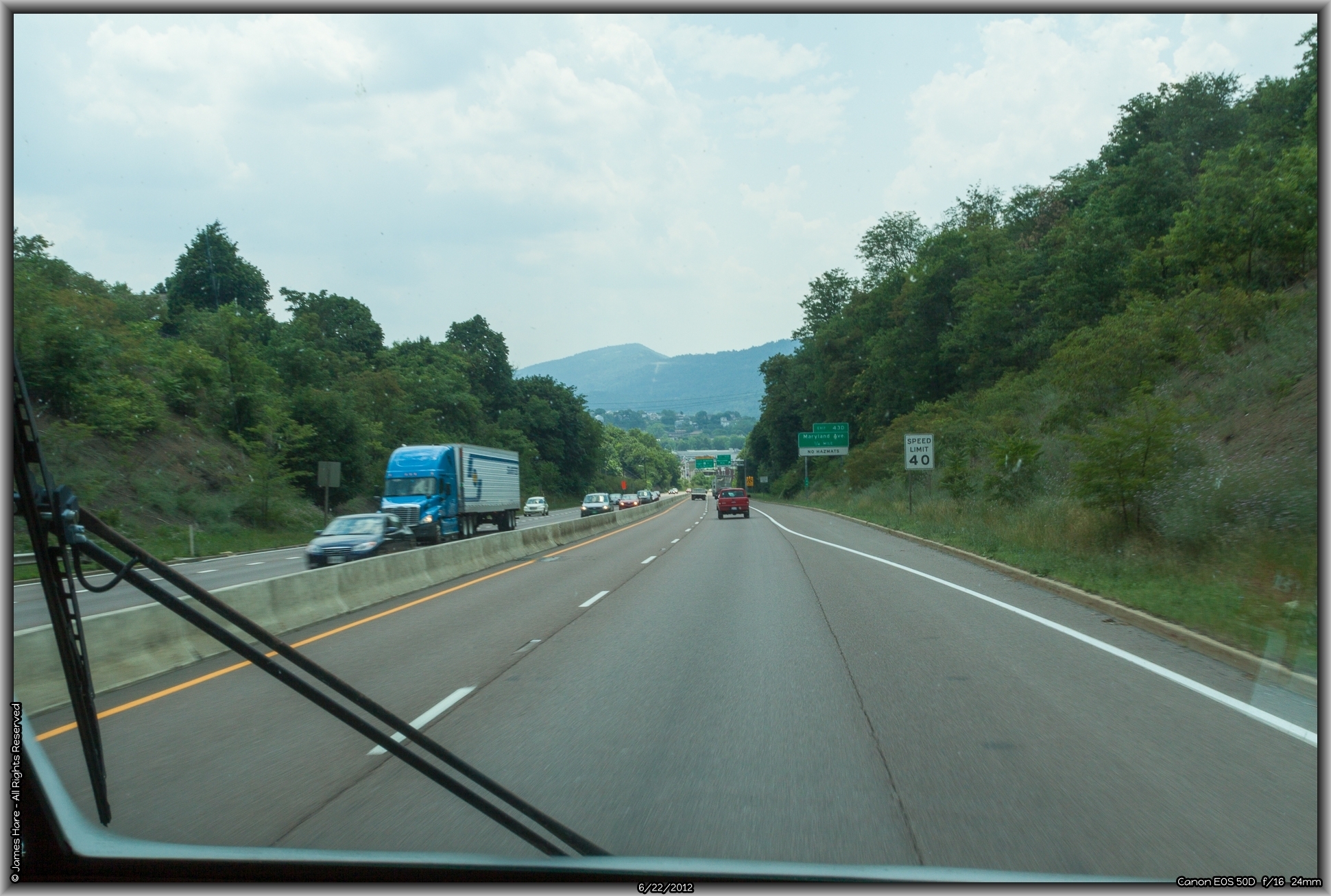
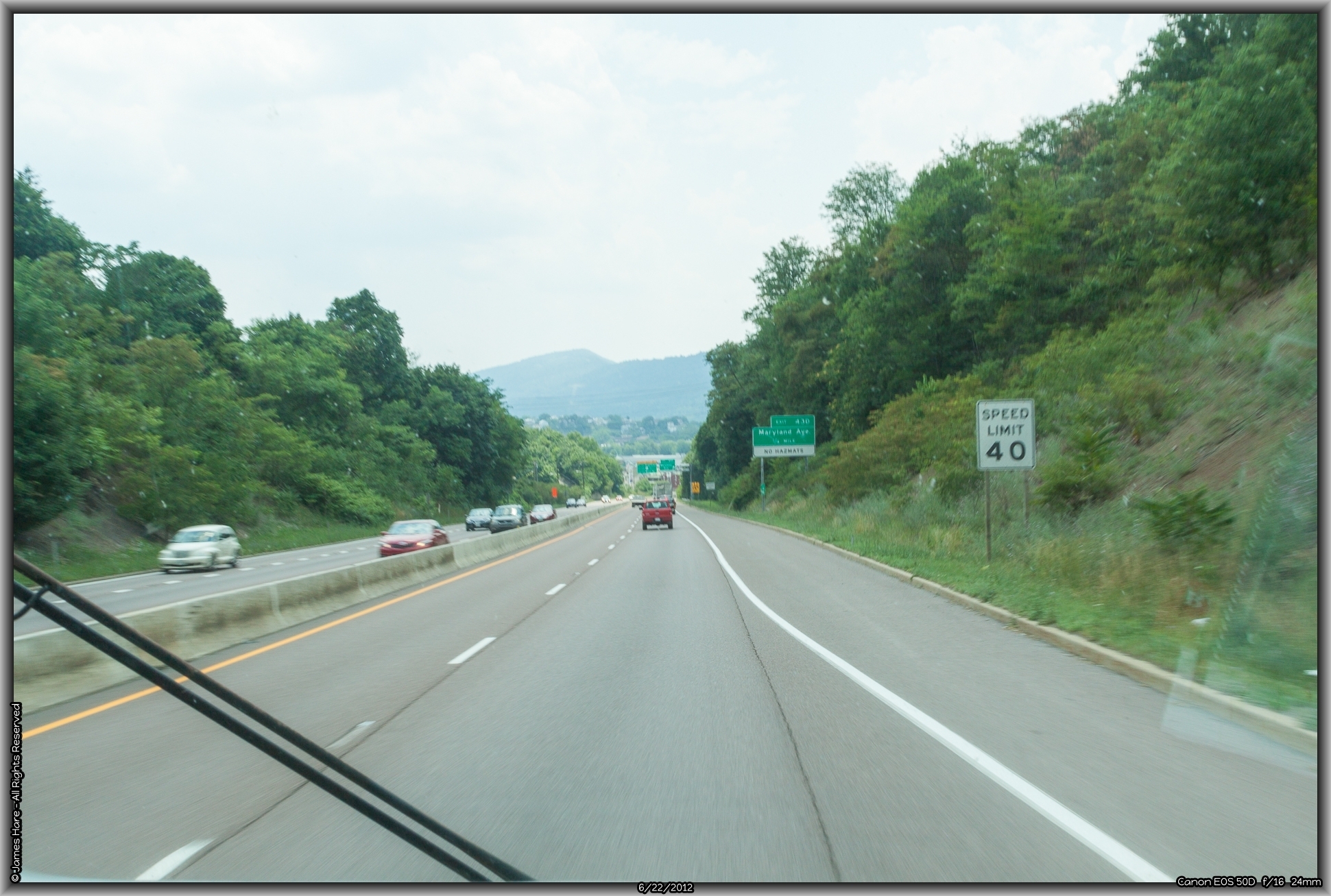
Into Maryland – State #3
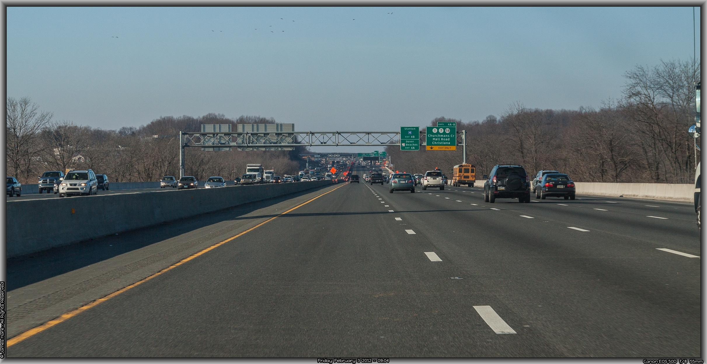
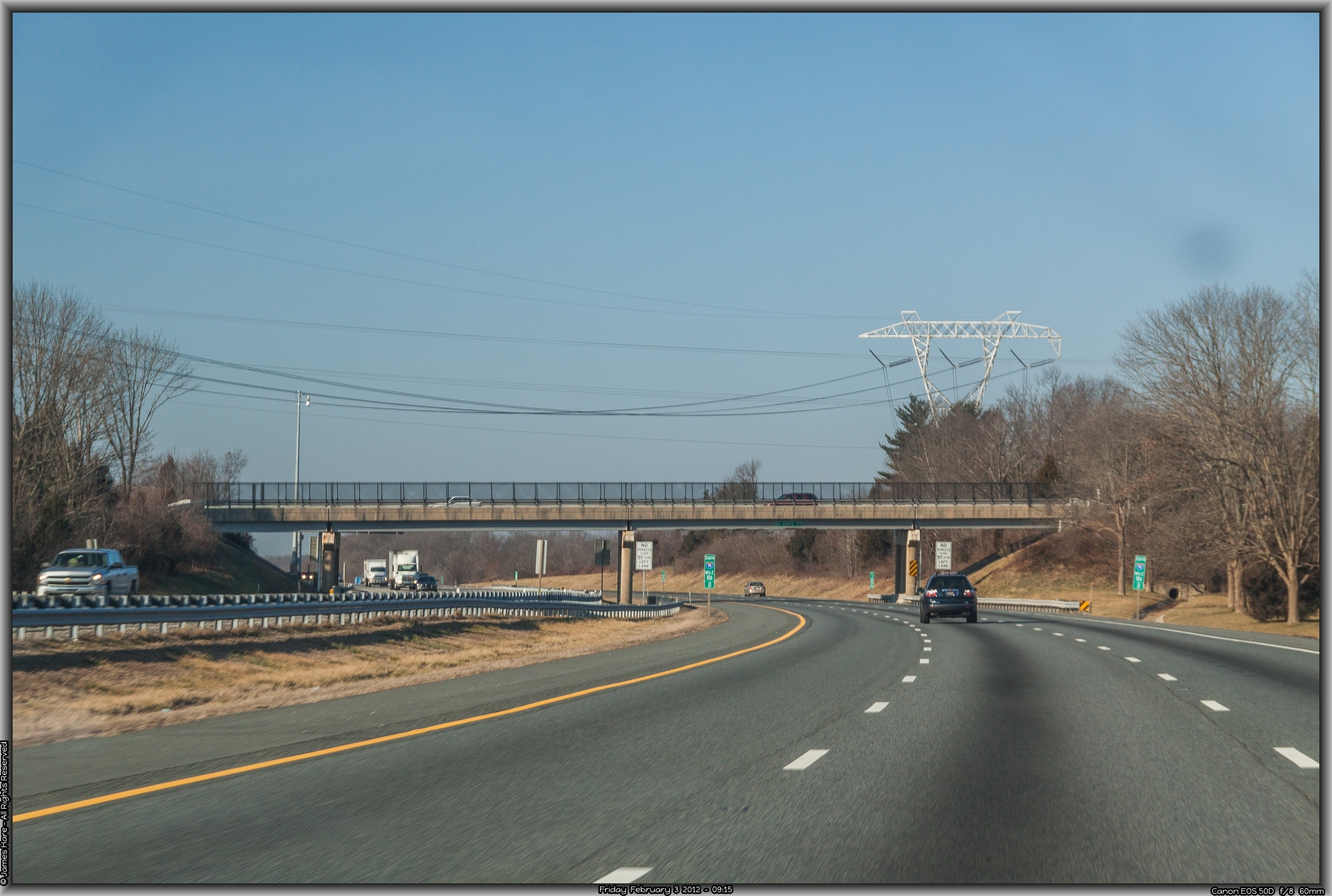
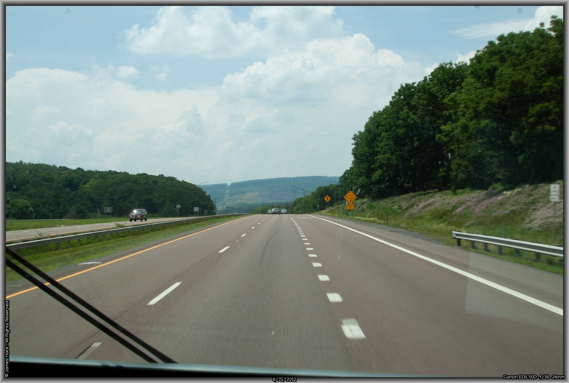
Interstate 95, the main north-south freeway on the east coast, slips through about 12 miles of Delaware, and sneaks into Maryland near Elkton. By now, traffic had thinned, and the unsuspecting traveler is often lulled into a false sense of ennui, not realizing he’s barreling head-on into the morass of the Baltimore-Washington binary star. The roadway, once one leaves the suburbs of Wilmington behind, is easily traveled, and while the scenery might not be overwhelming, especially to a native, it made for a relatively calm beginning. Wide swooping curves and very slight up and downhill sections mark the road as it nears the Susquehanna River crossing at Havre De Grace, about 25 miles from Wilmington.
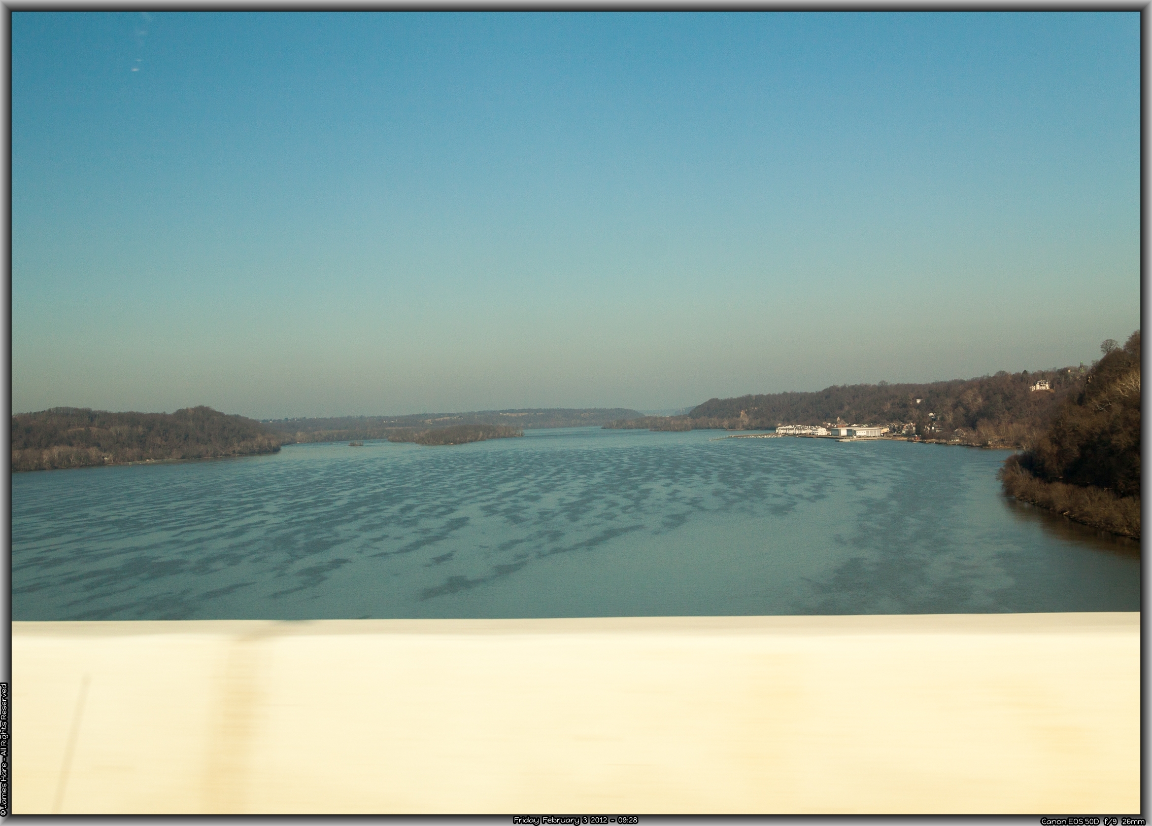
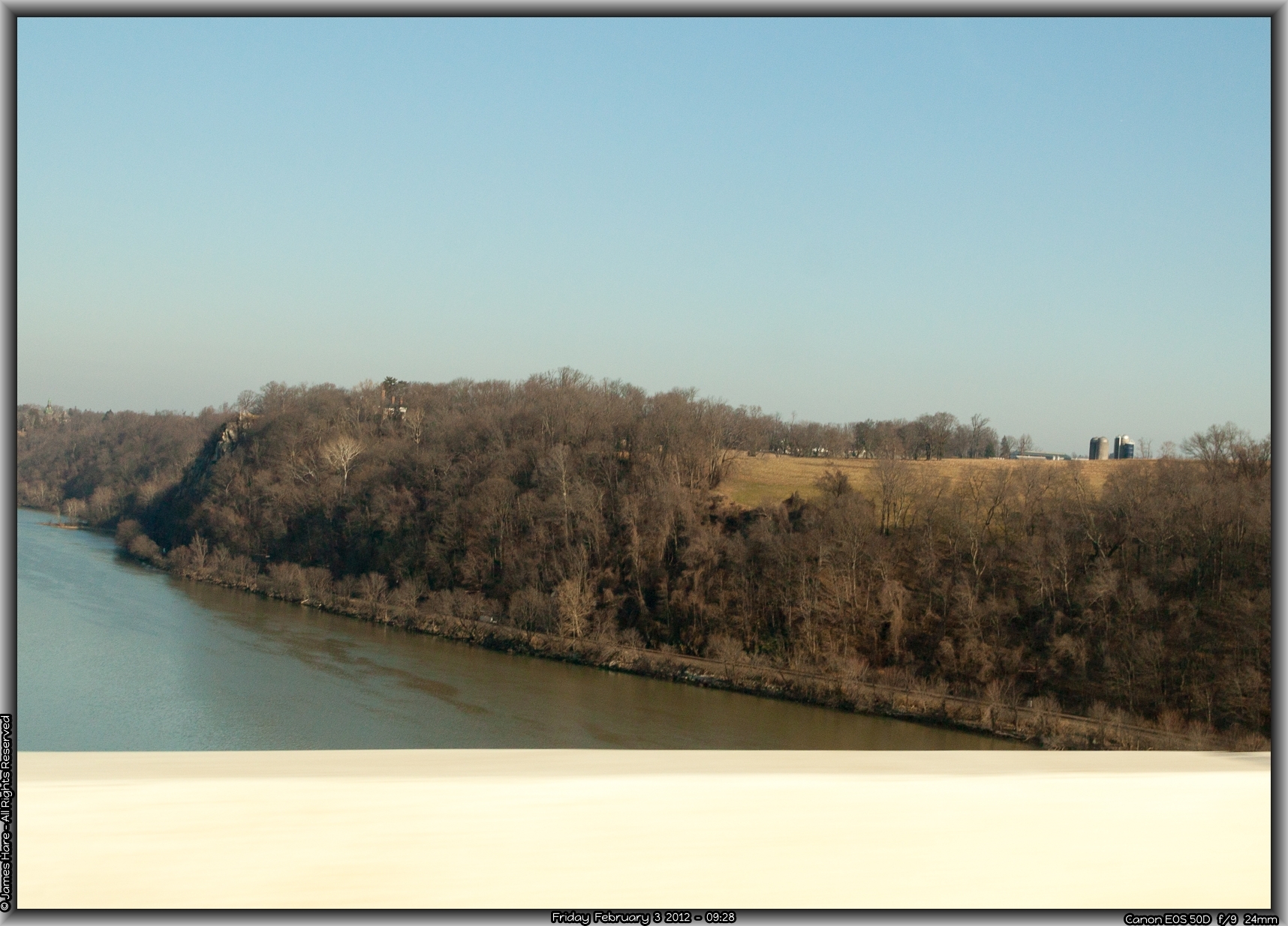
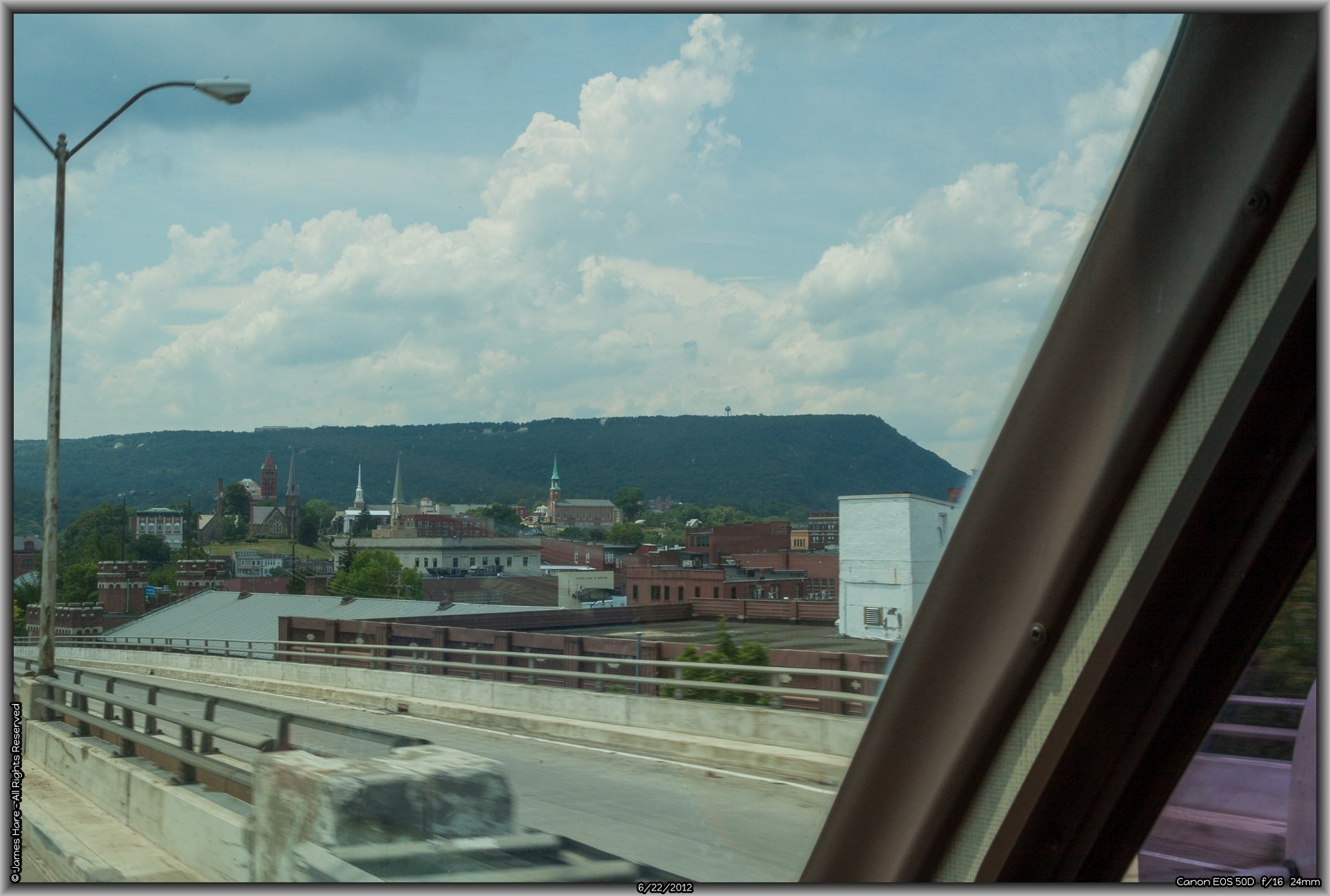
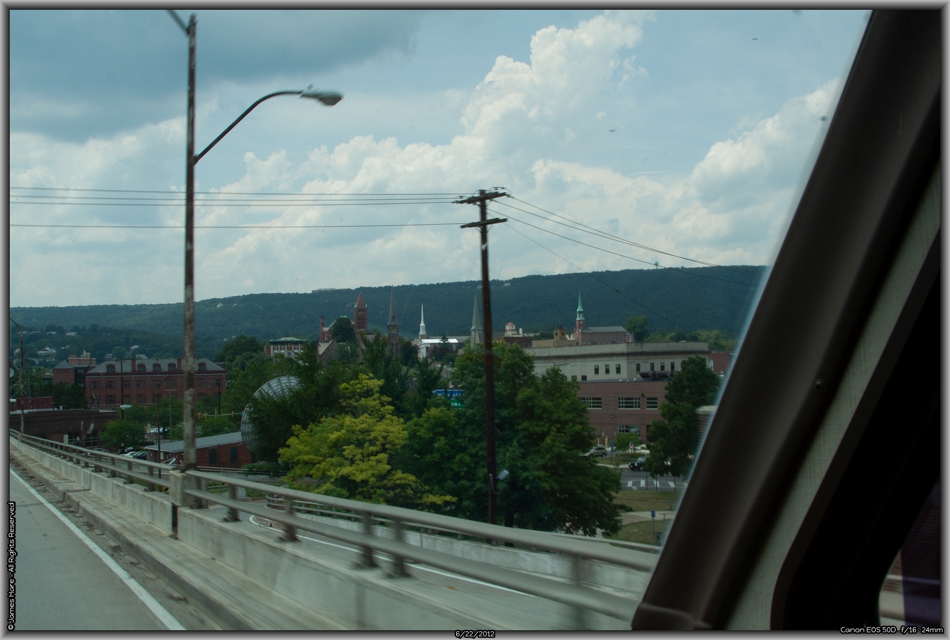
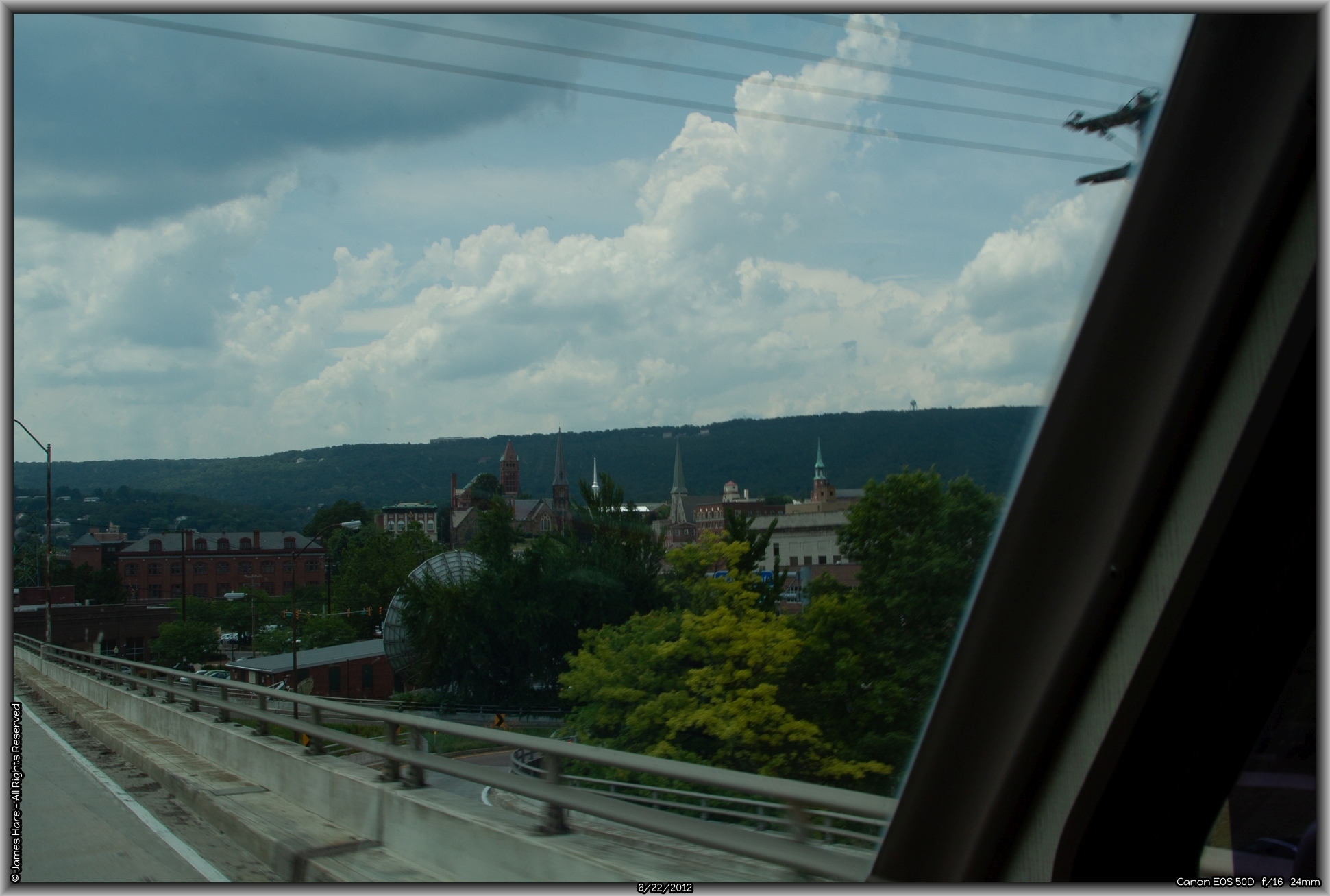
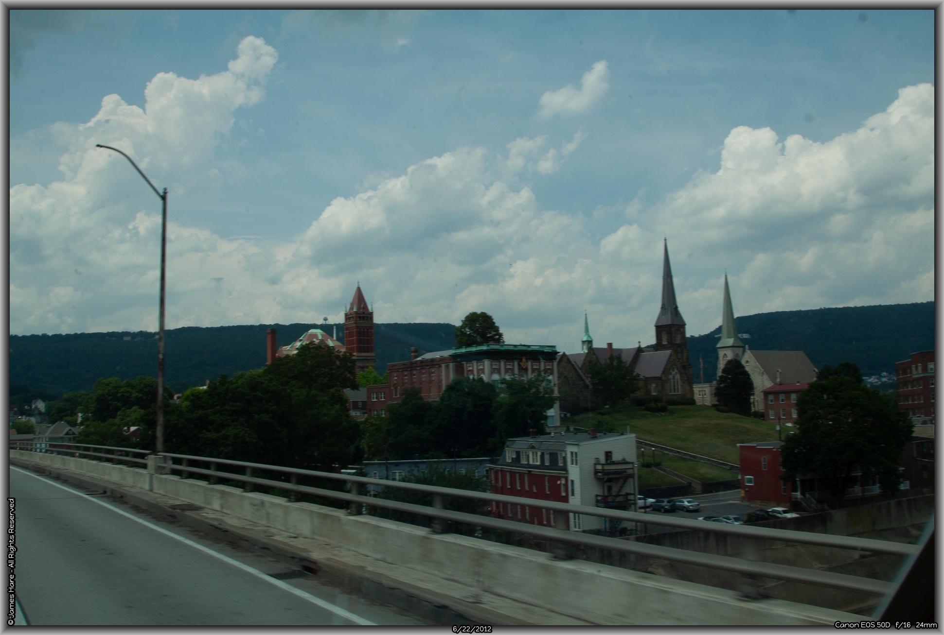
Second River Crossing – The Susquehanna
The Millard Tydings Memorial Bridge crosses the Susquehanna, about 100 feet above the water, and is often subject to crosswinds, situated as it is at the base of a wide river valley that empties into the Chesapeake Bay. There are surprisingly high and steep bluffs on the eastern bank of the river that plummet almost straight down, looking over a seldom used line of the Baltimore & Norfolk RR. About a half mile upstream from the bridge is the quaint and unusual town of Port Deposit. One block wide and about a quarter mile long, the city perches on a sort of no-man’s land between the bottom of the bluffs and the river.
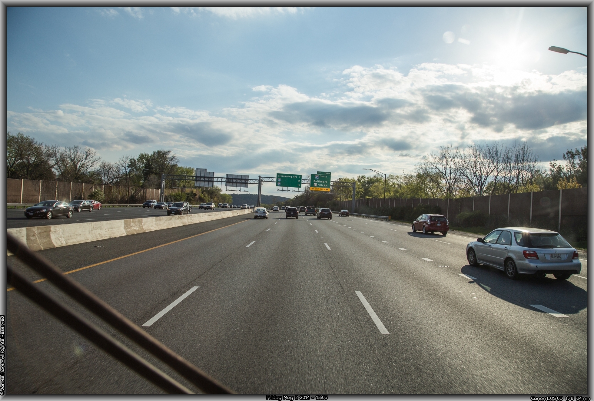
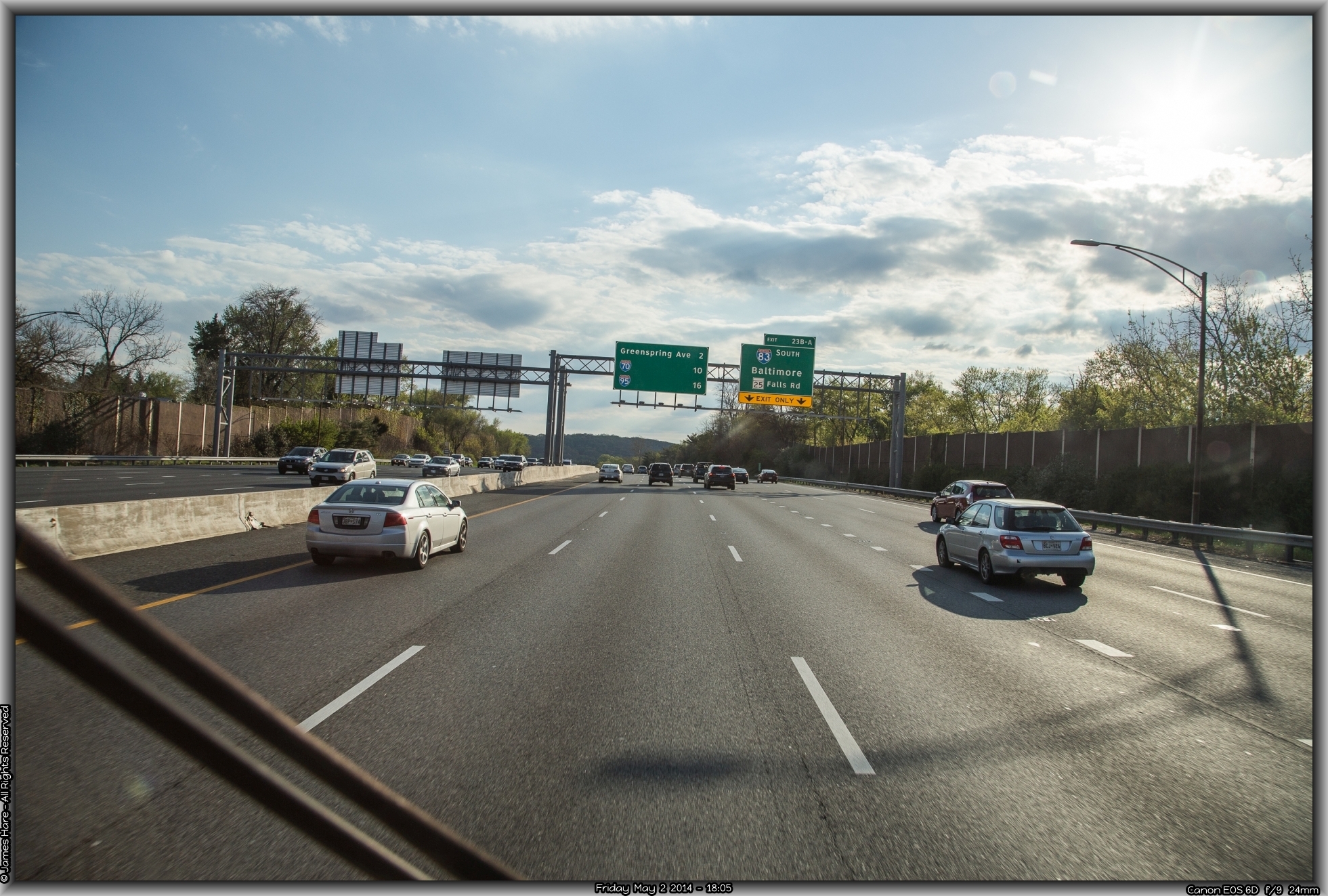
Looping around Baltimore
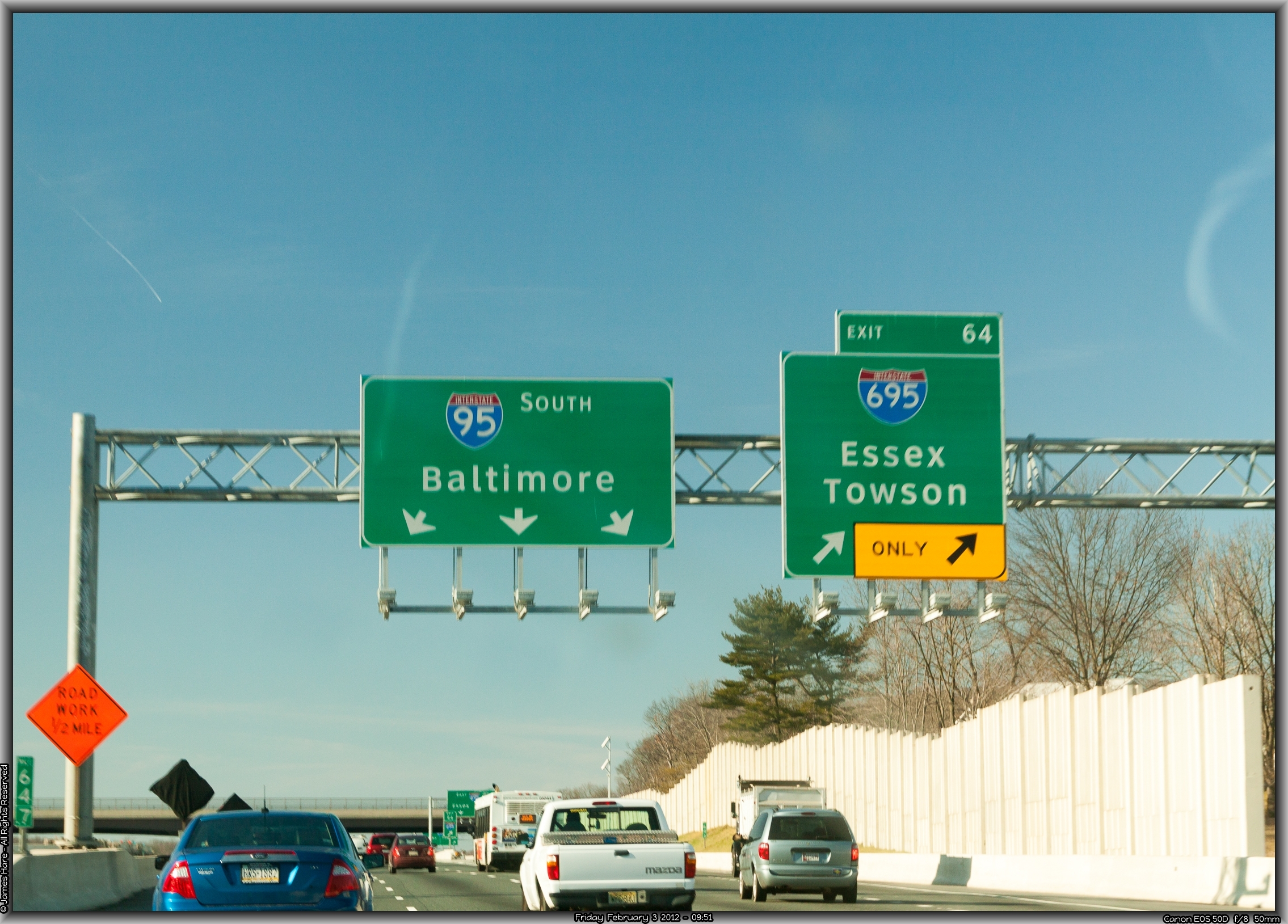
Passing exits for the Perry Point VA hospital and, further along, the Aberdeen Proving Grounds, we soon found ourselves in the outer limits of Baltimore, keeping a watchful eye out for the exit to connect with I-695, the Baltimore loop road that will head us slightly northwesterly. Road construction at the interchange, initiated during the administration of Grover Cleveland, makes frequent high-speed lane changes both frightening and requisite. Clever engineering design also brings the new high-speed on-ramp of merging traffic to bear on your right just about 50 feet before the off-ramp for those wishing to exit over to I-695. I never understood why a traffic engineer brings an ON ramp along just before an OFF ramp. Be that as it may, in a 10 ton traveling brick, one just sets the blinker going, waits four complete milli-seconds, and fishtails right. Anyone in the way, well, too bad.
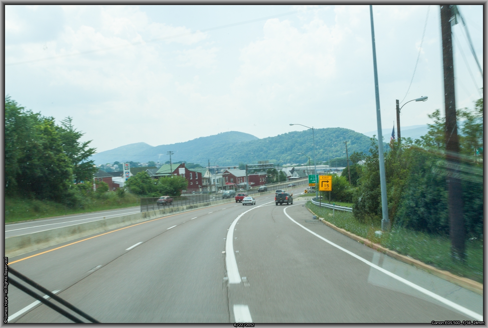
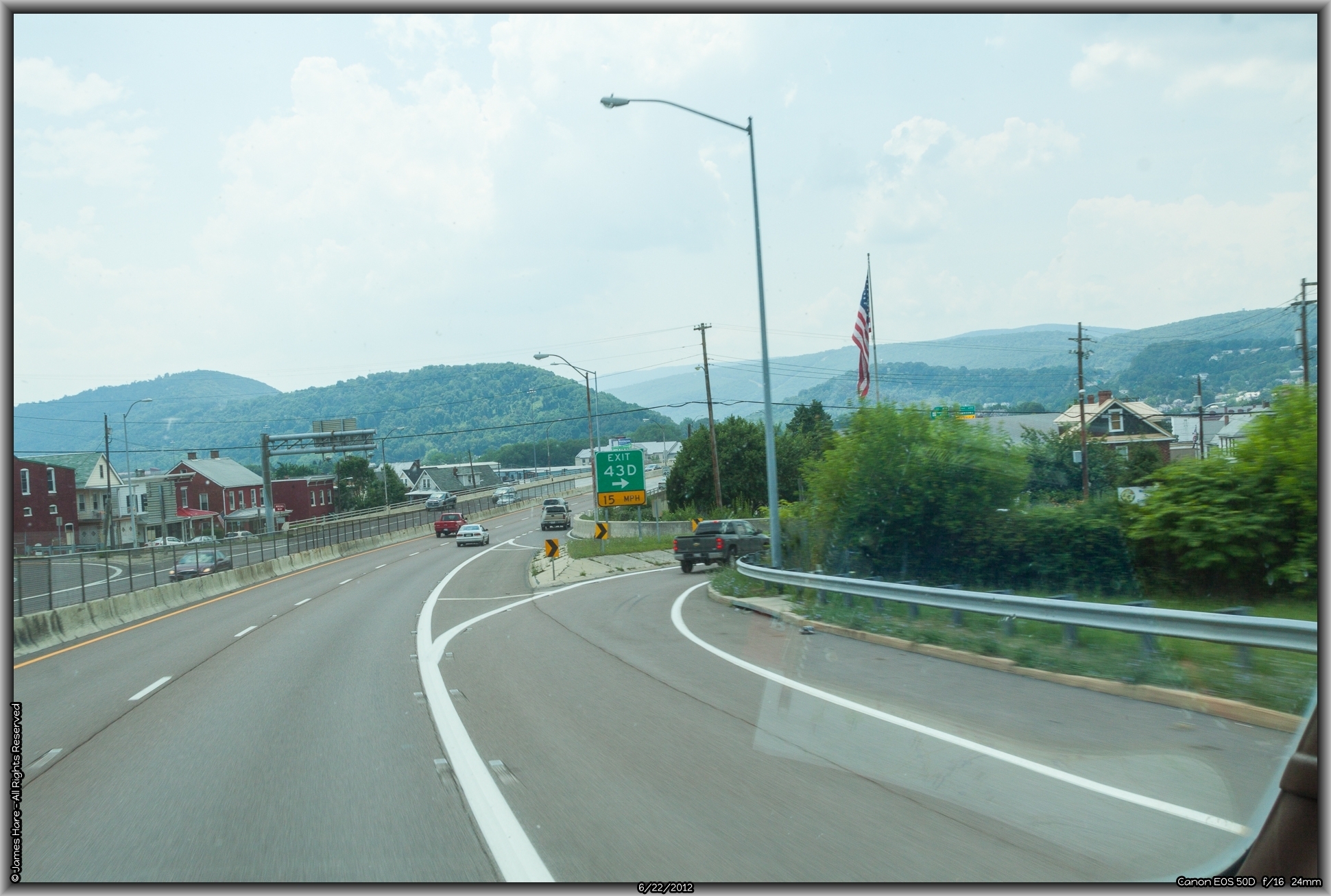
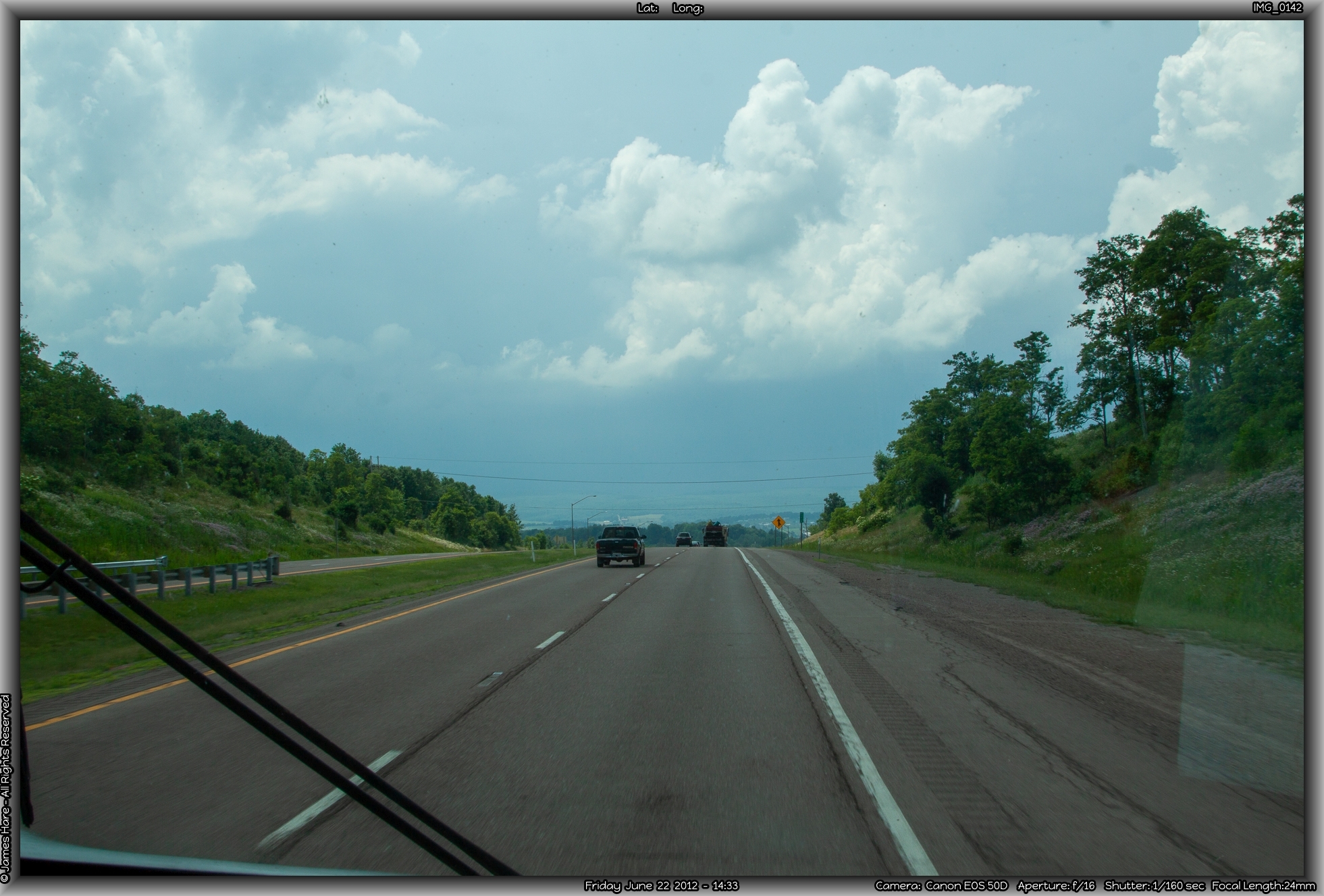
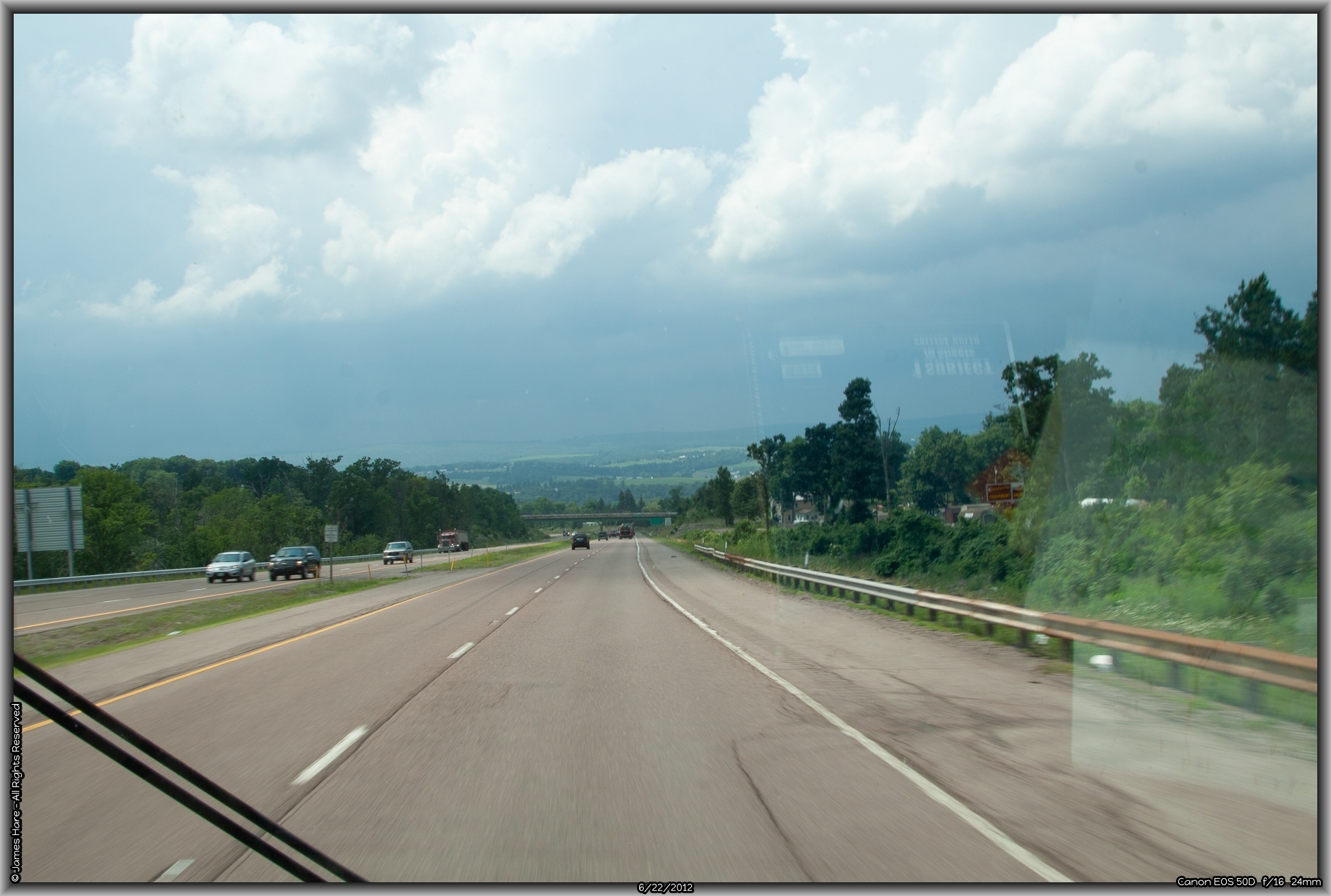
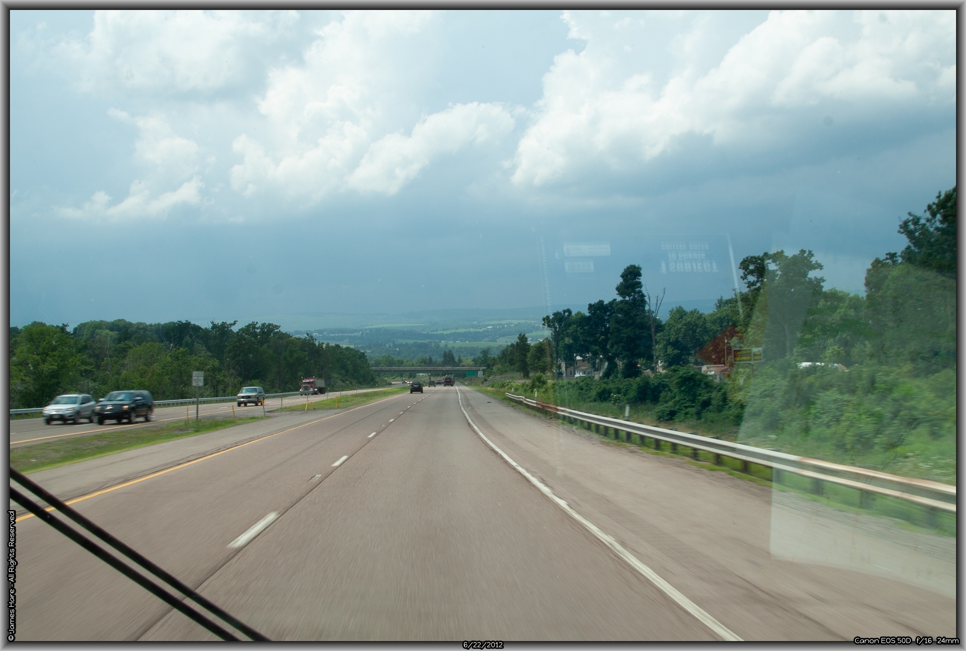
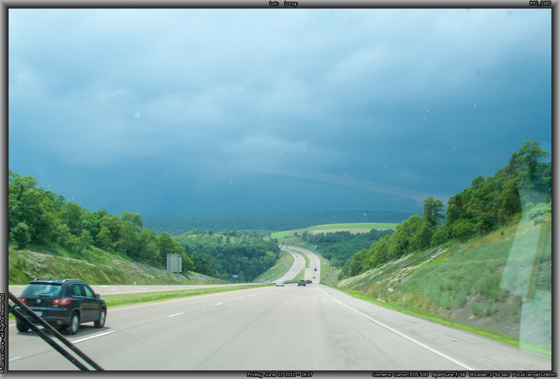
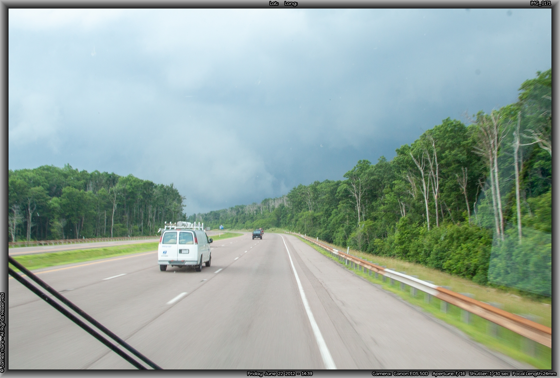
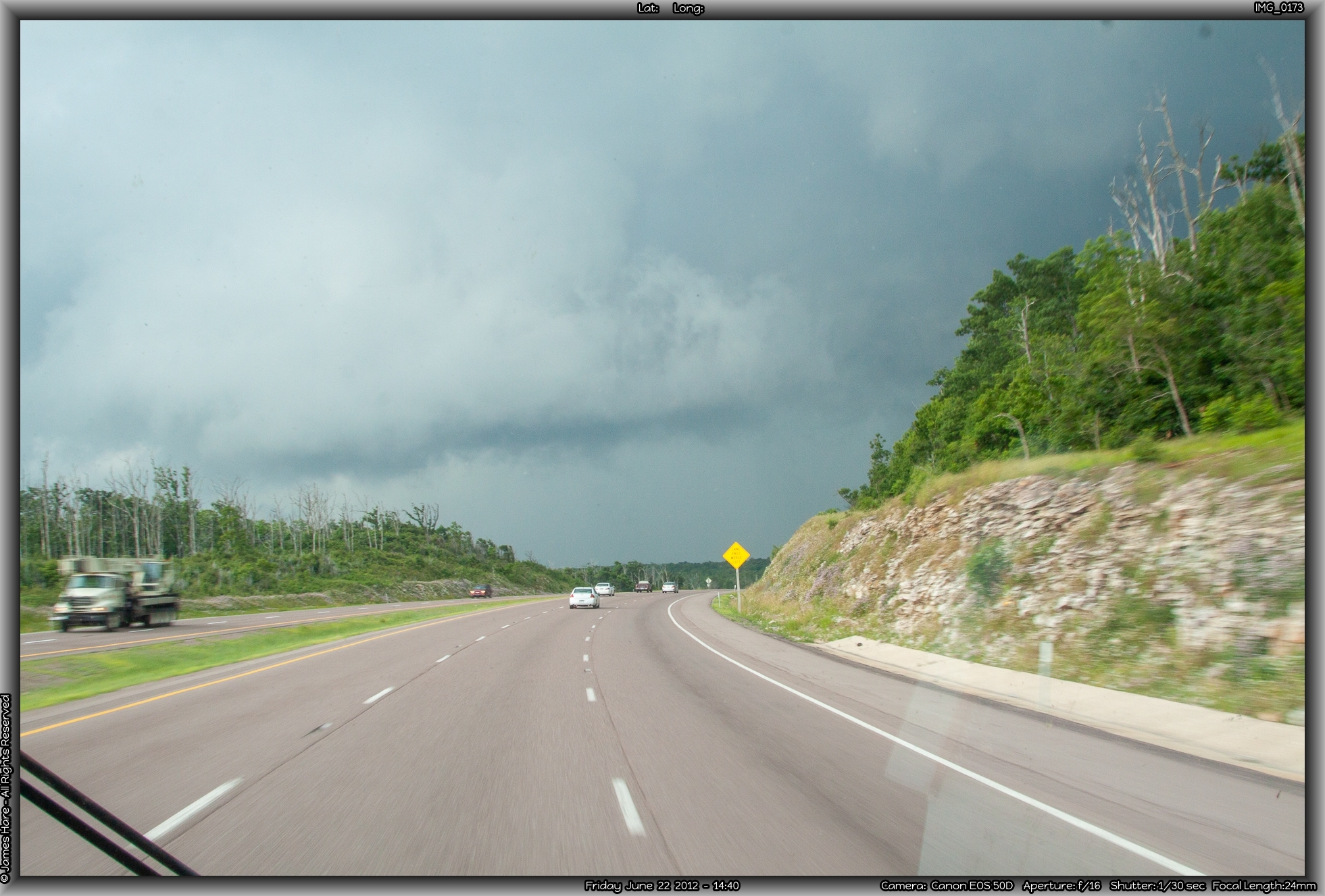
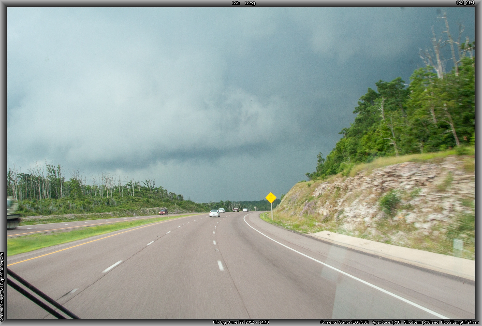
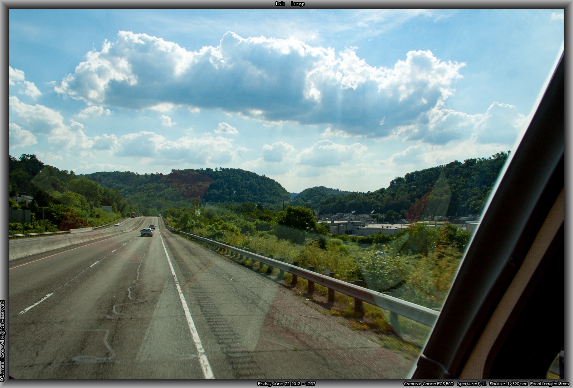
Successfully, if somewhat shakily, planted on I-695, it was now nearing noon, and travelling on a summer Friday in the Great Northeast Megalopolis, we understood the ancient prohibitions. Traffic, I must admit, was not all that hectic however, and once I simply accepted the fact that moms in minivans would be swooping in and crossing my bow with inches to spare on a regular basis, my blood pressure returned to normal, and I concentrated on missing the larger potholes, speed bumps, road debris, and animal carcasses. The heat and haze made the scenery shimmer in a greenish wave, and you could almost feel the humidity. In fact, you could feel the humidity. It was 100%. Brief summer showers are commonplace in the northeast, and the rain sizzled and splattered on the windshield, briefly washing away the hari-kari bugs. As quickly as it started, it stopped. Then, steam began rising up from the roadway, mixing with the ozone and unburned hydrocarbons to make a somewhat glutinous miasma that was at times difficult to see through. This is the area of the Baltimore bedroom communities like Towson, Bel Air and others – huge tracts of housing development hidden just beyond the sound-deadening walls of the interstate, each house cunningly sculpted to look just like the one across the street, individuality marked only by the different colored sheds and outdoor accoutrements. It was amazing what a seat about four feet higher than usual afforded you when peering into roadside America.

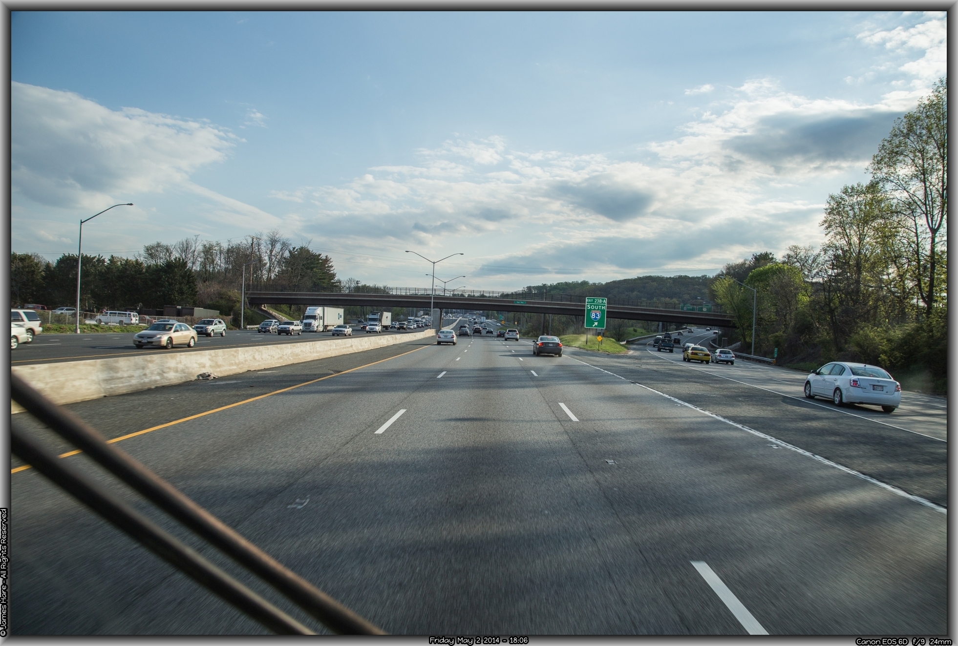
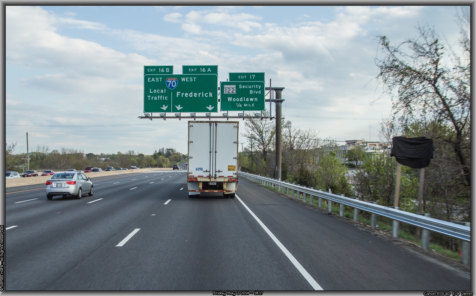
Towson receded in our mirrors (not that we could SEE anything in them, mind you, but I hear it was back there a ways), and the rest of Baltimore’s outer ring passed by. Soon enough, we started seeing the signs for the intersection with Interstate 70, our next leg, and our pathway across the narrow neck of northern Maryland, towards Frederick, Hagerstown and the Cumberland mountains. It was nice to be driving across land that offered some elevation change here and there. We crossed up and over and down numerous low ridges, as the Appalachians started to make their presence known. Interstate 70 headed off to the north-north-west, finally leaving the housing developments, transmission shops, and fast food eateries behind. Traffic thinned out. Melissa complained about the heat. Hal regaled us with his tales of travel on this same road in blinding snowstorms and sleet. It did little to cool us down.
We bear down and really head west
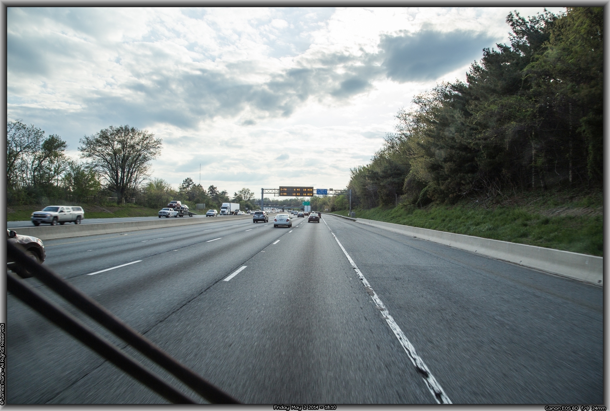
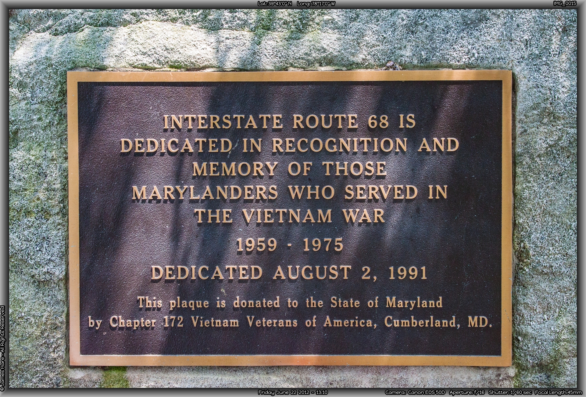
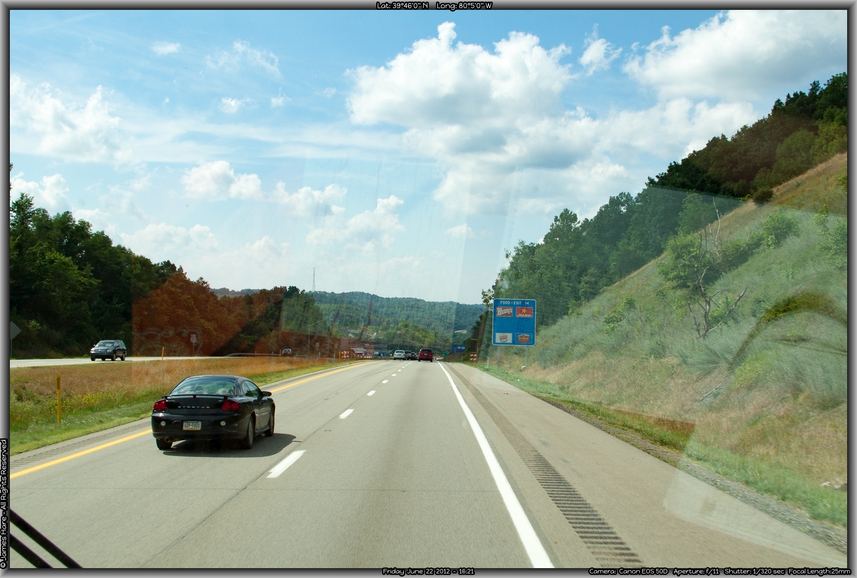
Hagerstown seemed like a nice little place, what little we could see of it. Now we were really getting into the hills. On some long climbs, our speed dropped to the 40s. They weren’t steep, by any means, but were long, long grades. This stretch of highway is alternatively known as the “Great National Road”, the Eisenhower Highway, and the Cumberland Scenic Byway. By any name, it was still a highway. Around Hancock, I-70 runs off north into PA, and a relatively short interstate I-68 heads west, so we branched to I-68. We were just a few miles below the Mason-Dixon line, in the very narrow “neck” of western Maryland.
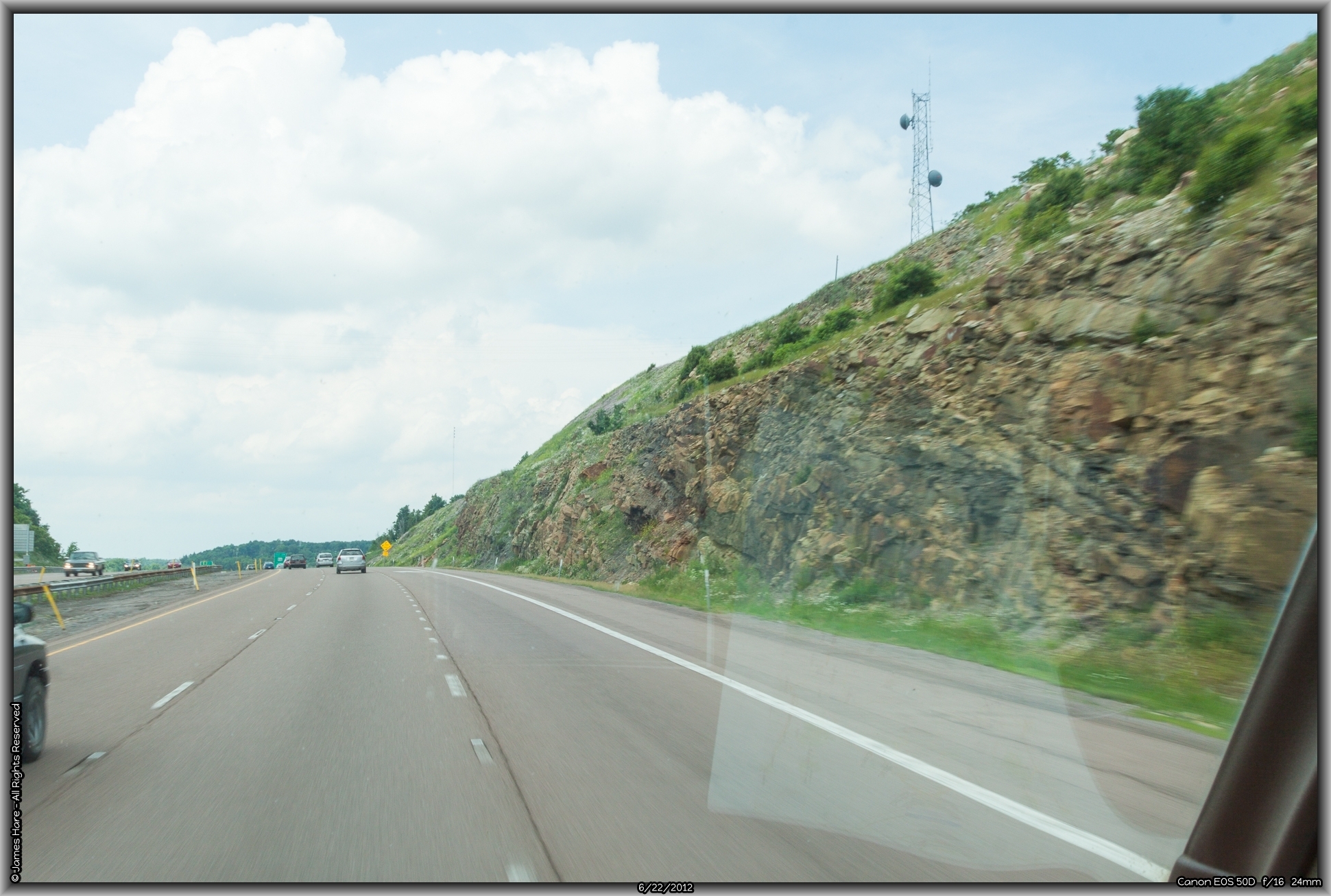
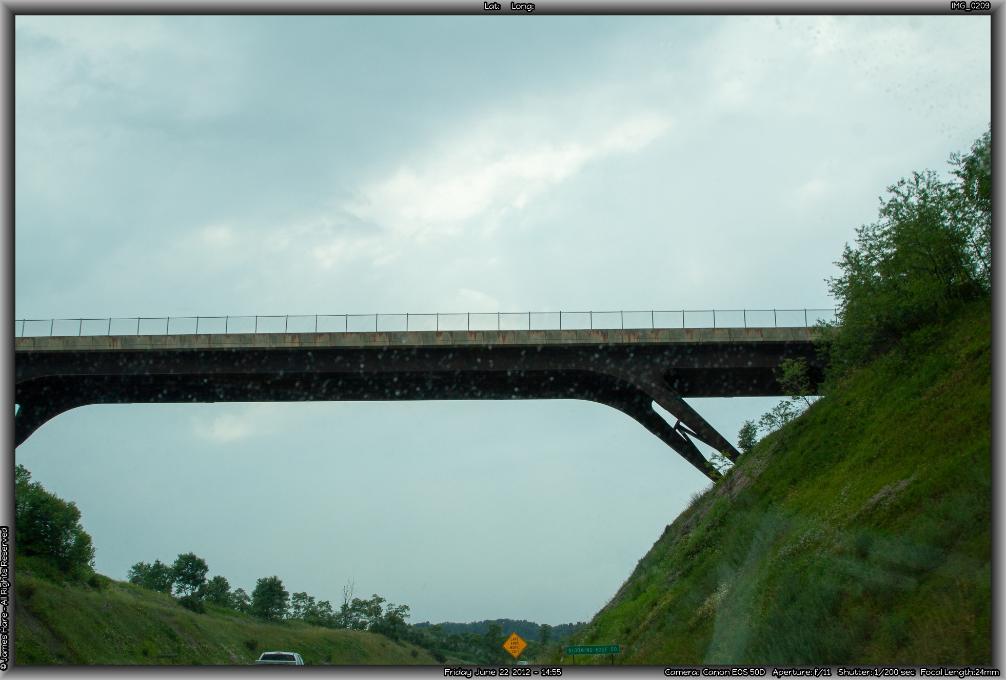
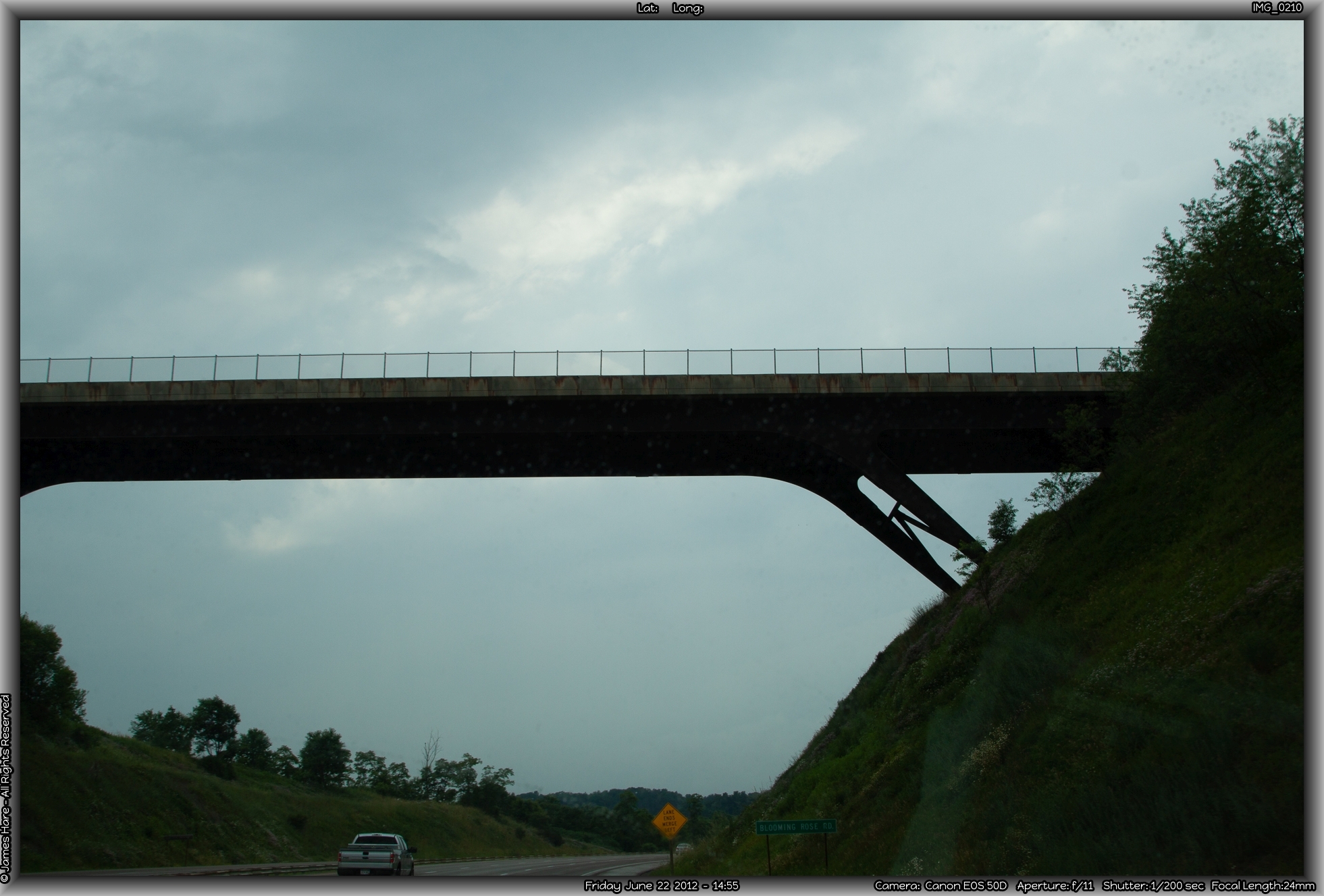
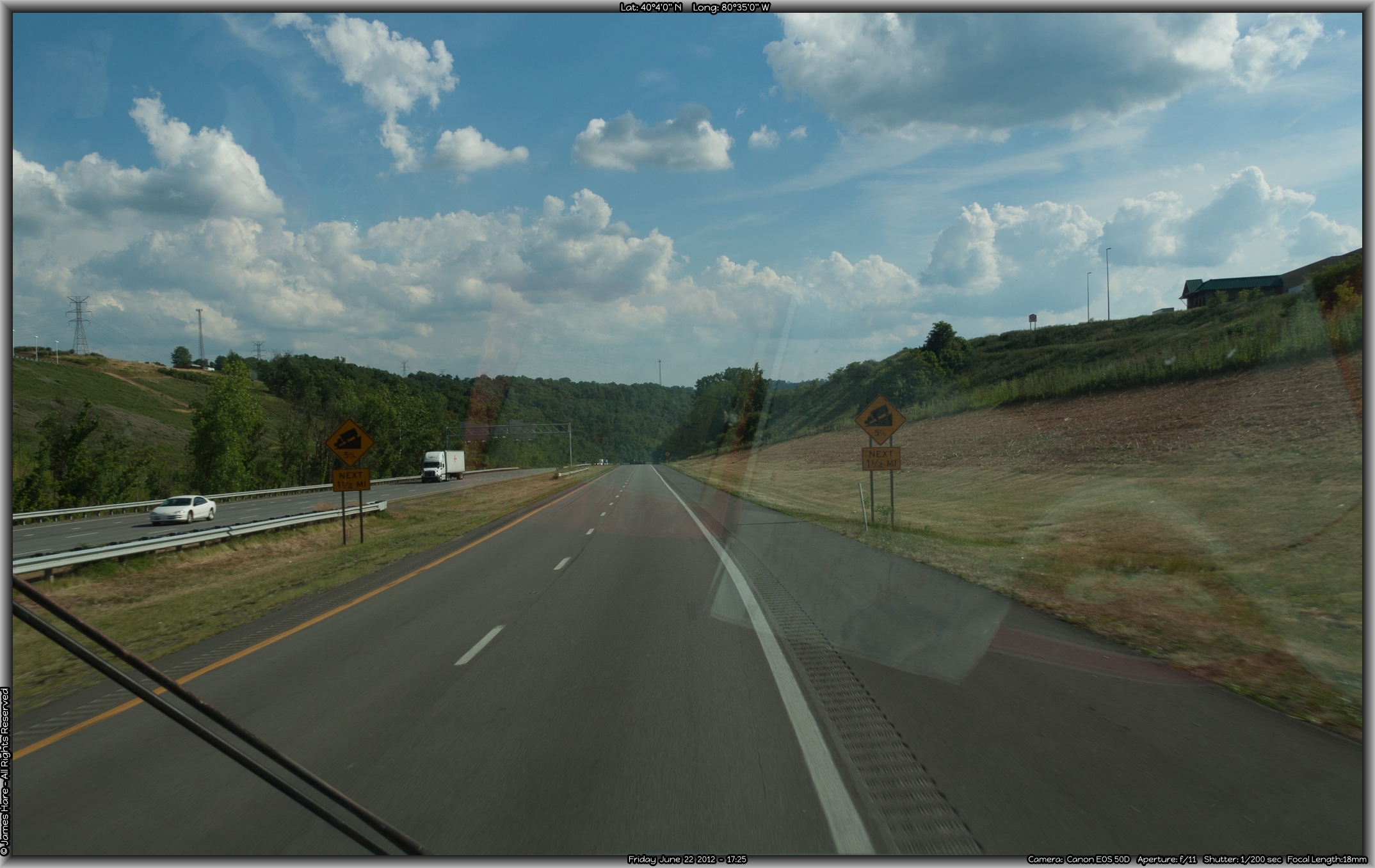
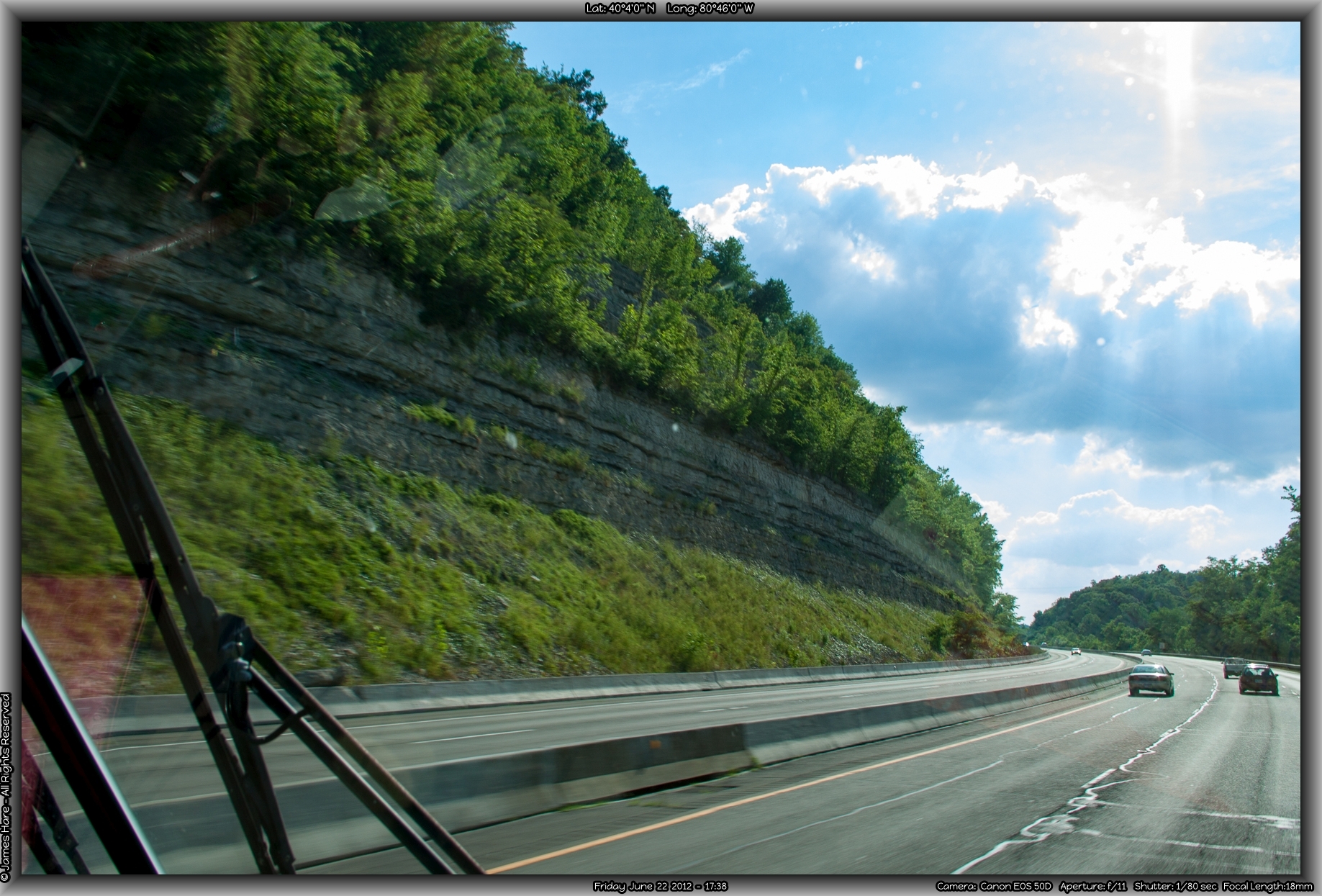
The first real excitement came just the other side of Hancock as we approached the somewhat notorious Sideling Hill. Situated along a long, undulating spine of the almost-Appalachians, the Hill is a narrow ridge that runs kind of sideways from up in Pennsylvania all the way down in to somewhere in Virginia. It’s the first real big hill that westward settlers had to drive their cattle over back in the 1700s, east of where Daniel Boone and his cohorts found “the Cumberland Gap”.
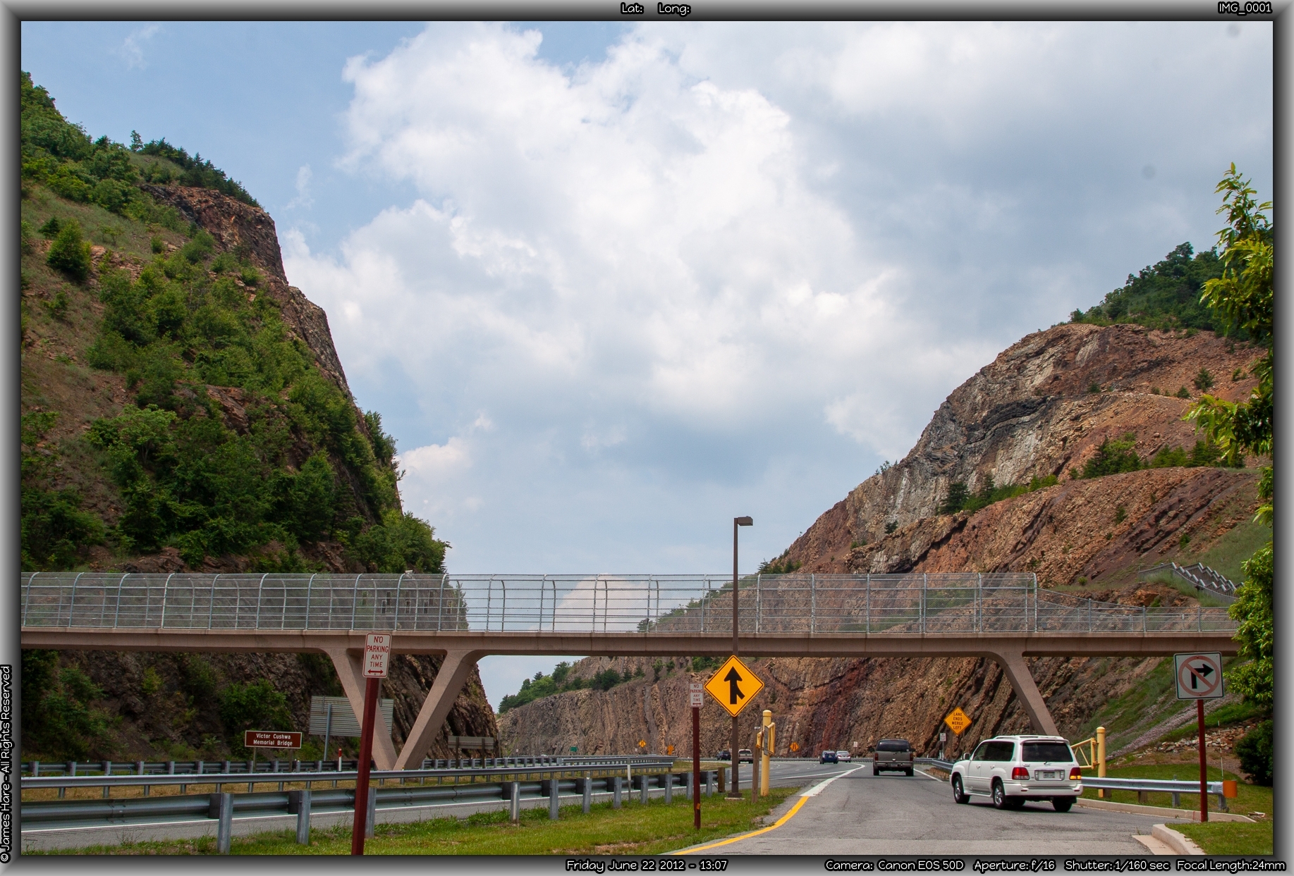
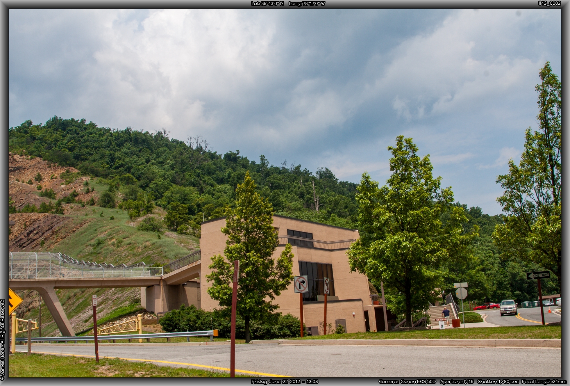
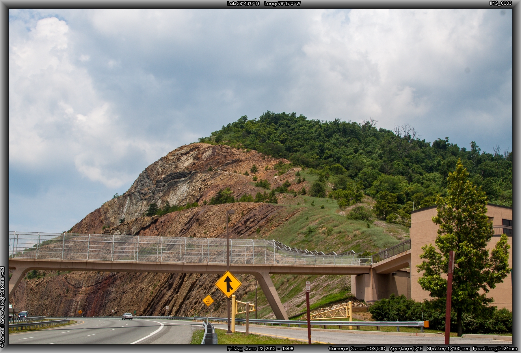
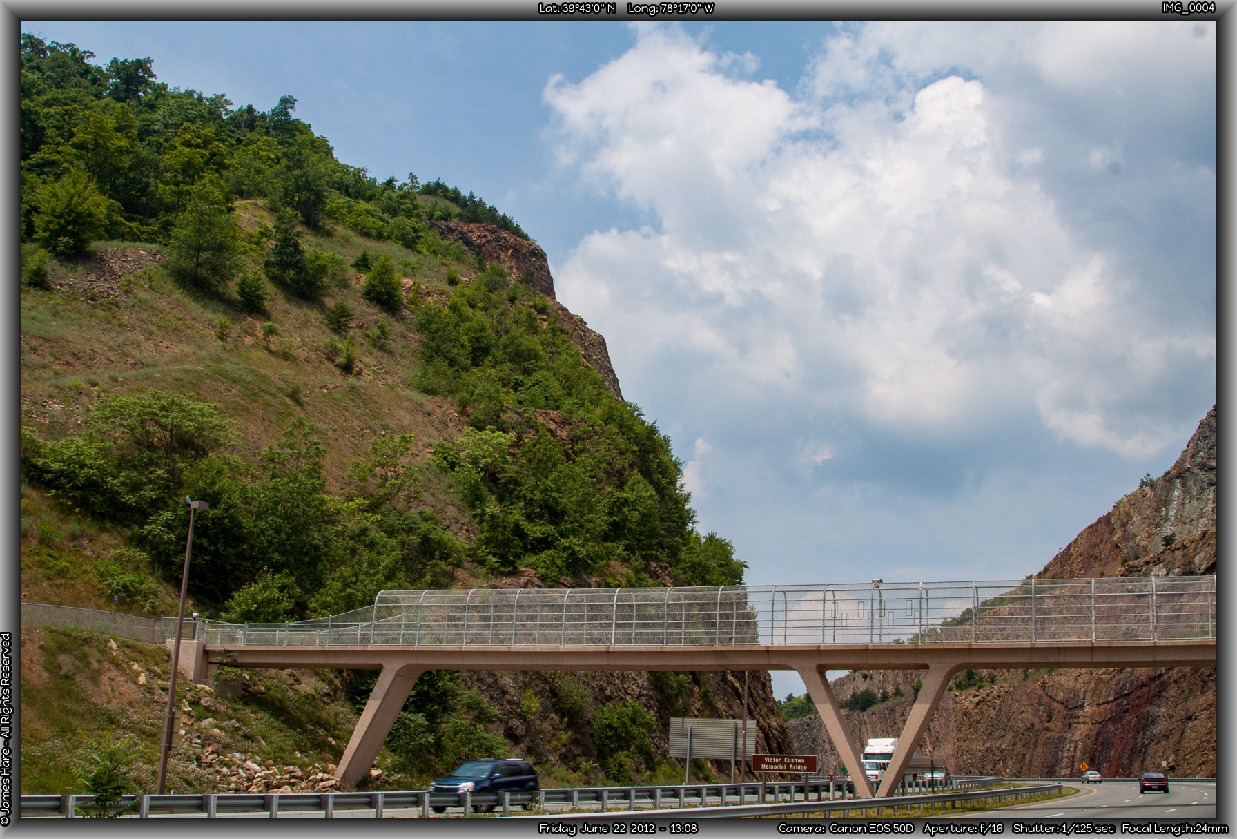
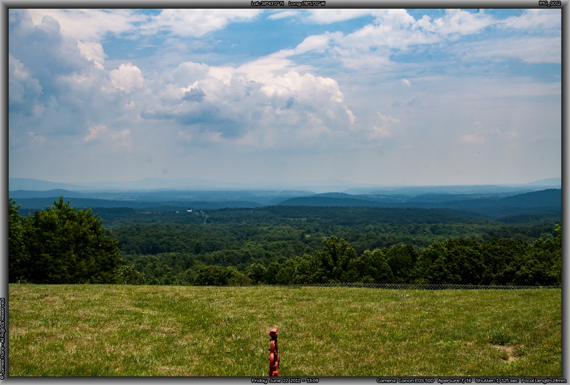
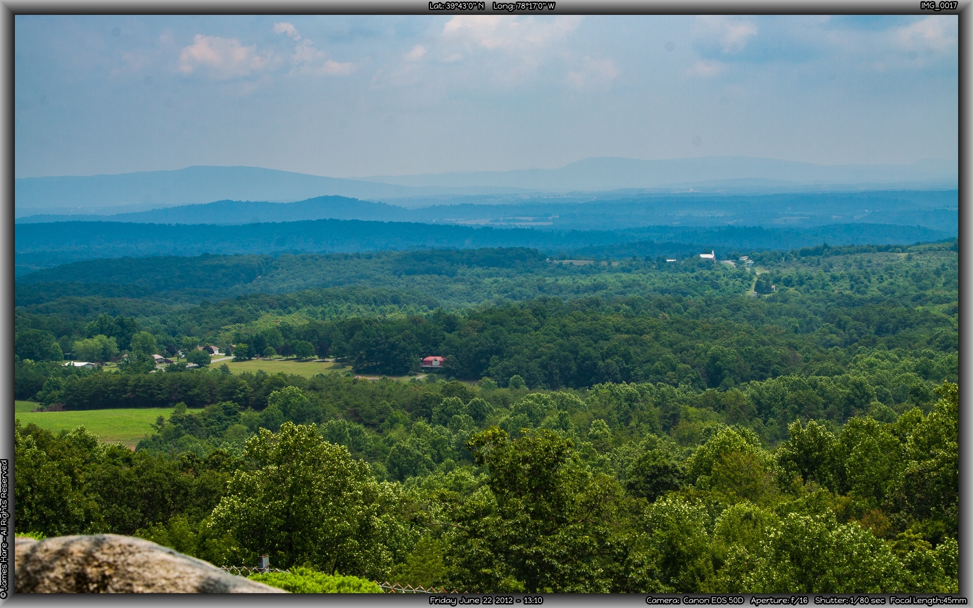
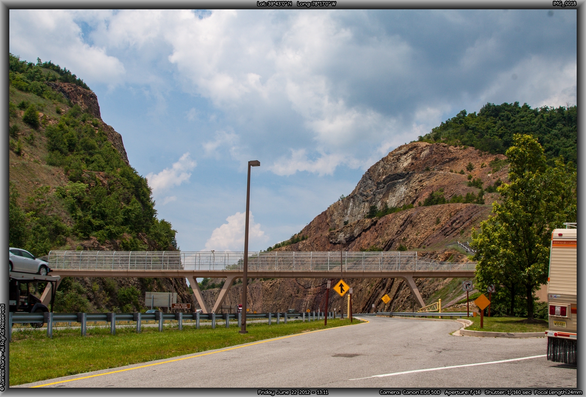
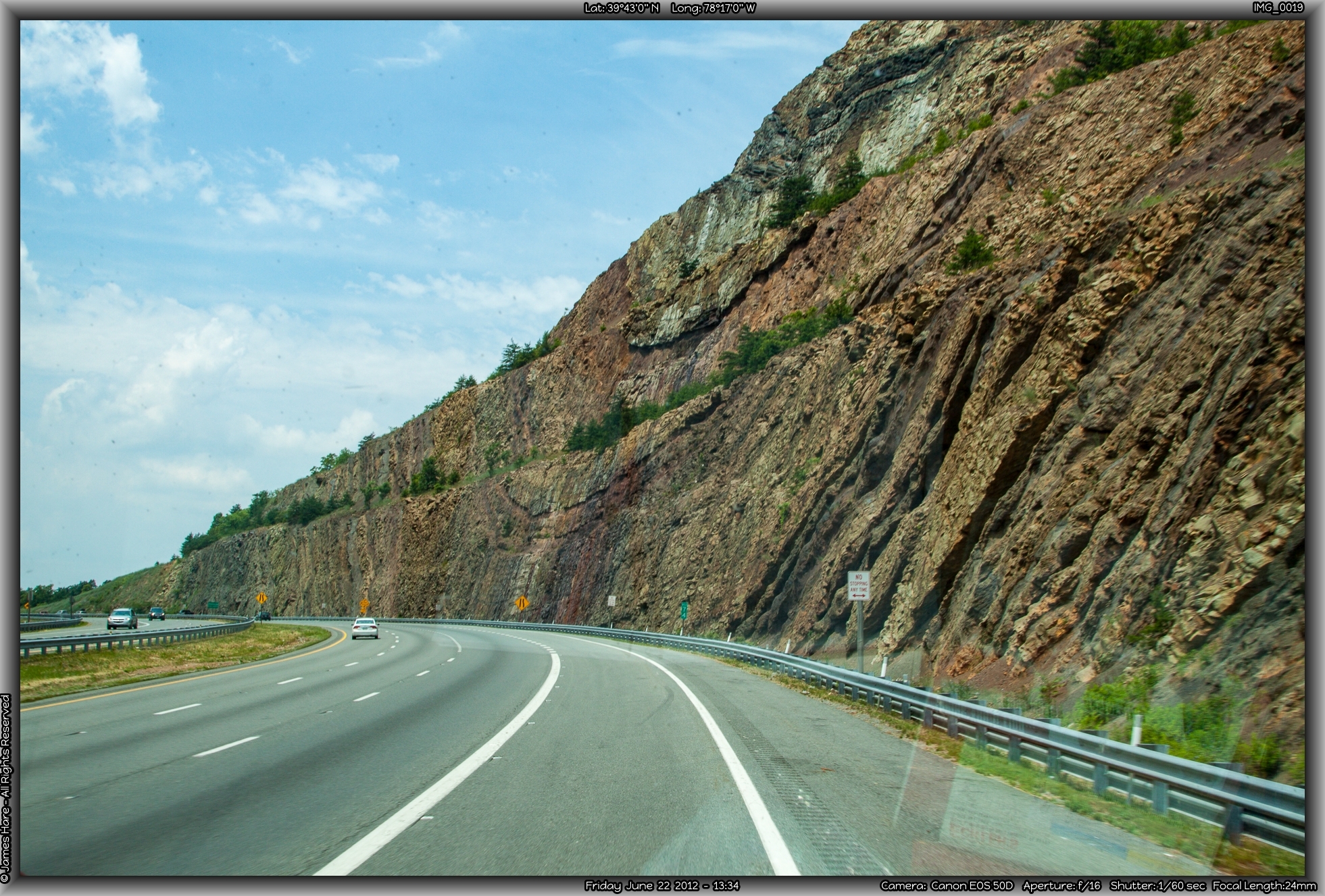
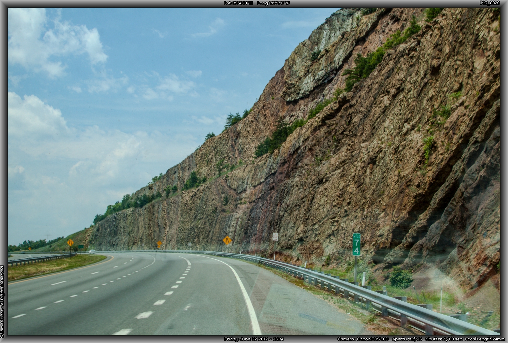
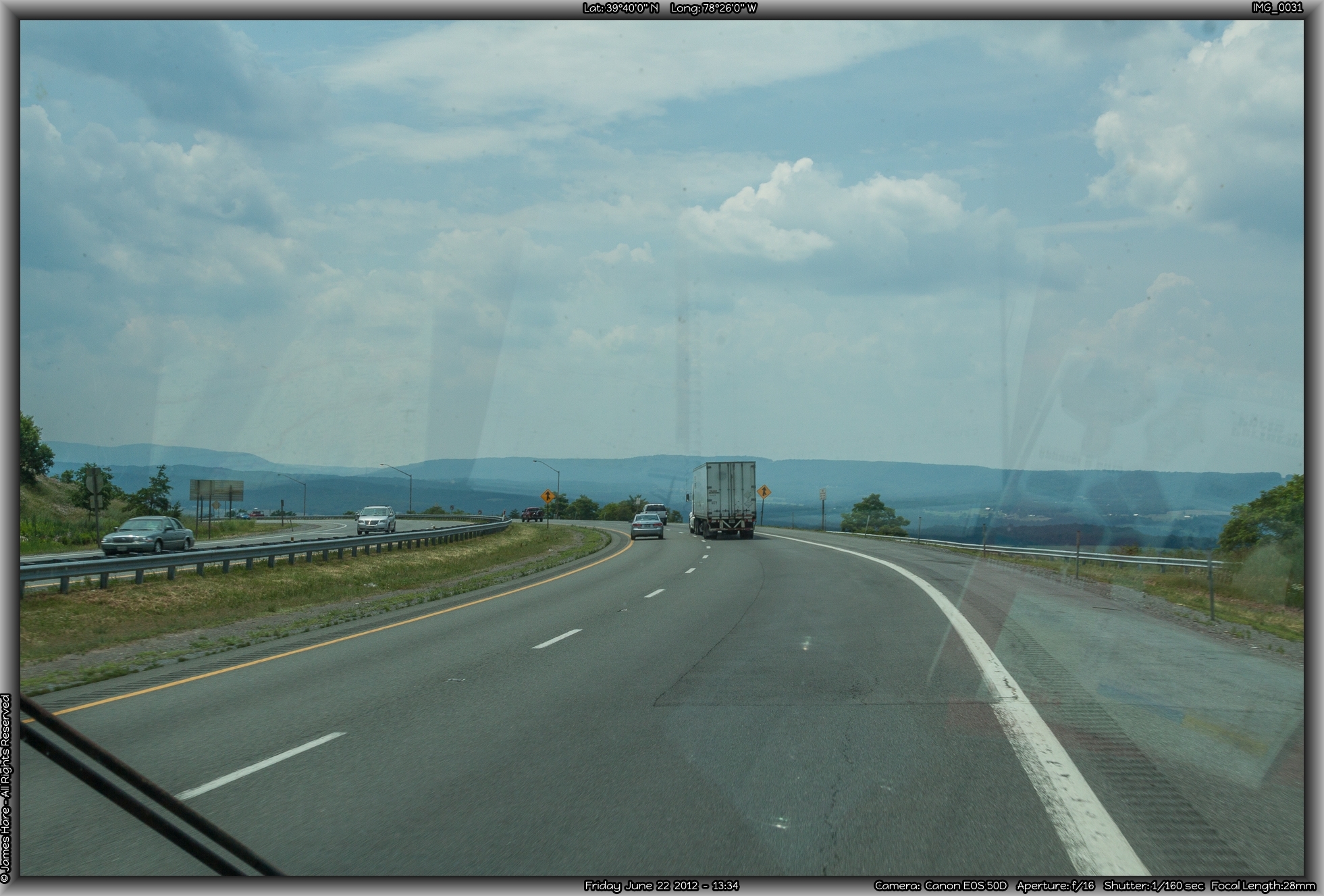
Up in Pennsylvania, there’s a couple of turnpike tunnels and a new road up and over the hill, and a railroad tunnel or two through the mountain. But here in Maryland, they don’t fool around. They just cut a huge chunk right out of the mountain, leaving an 800 foot deep gash in dinosaur-laden Devonian rock that’s visible for miles around. There’s a pretty cool looking visitor center area that was closed due to budget constraints, and a pedestrian walk-bridge over the interstate for curious gawkers. Unfortunately, the authorities frown on stopping along the roadway itself to plumb for fossils or anything interesting, so one has to speed by the dig at 70 miles an hour.
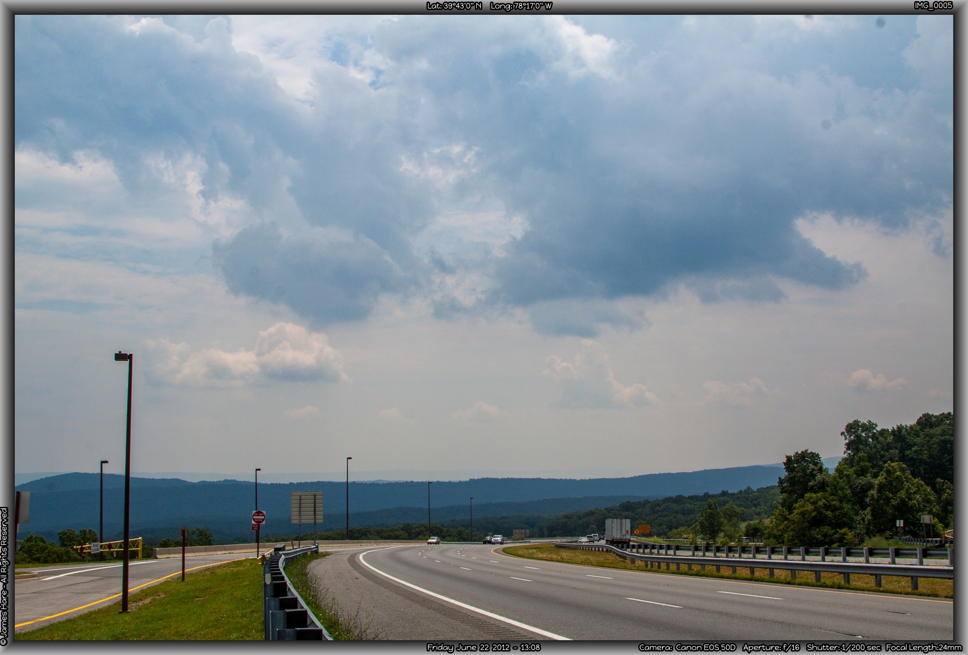
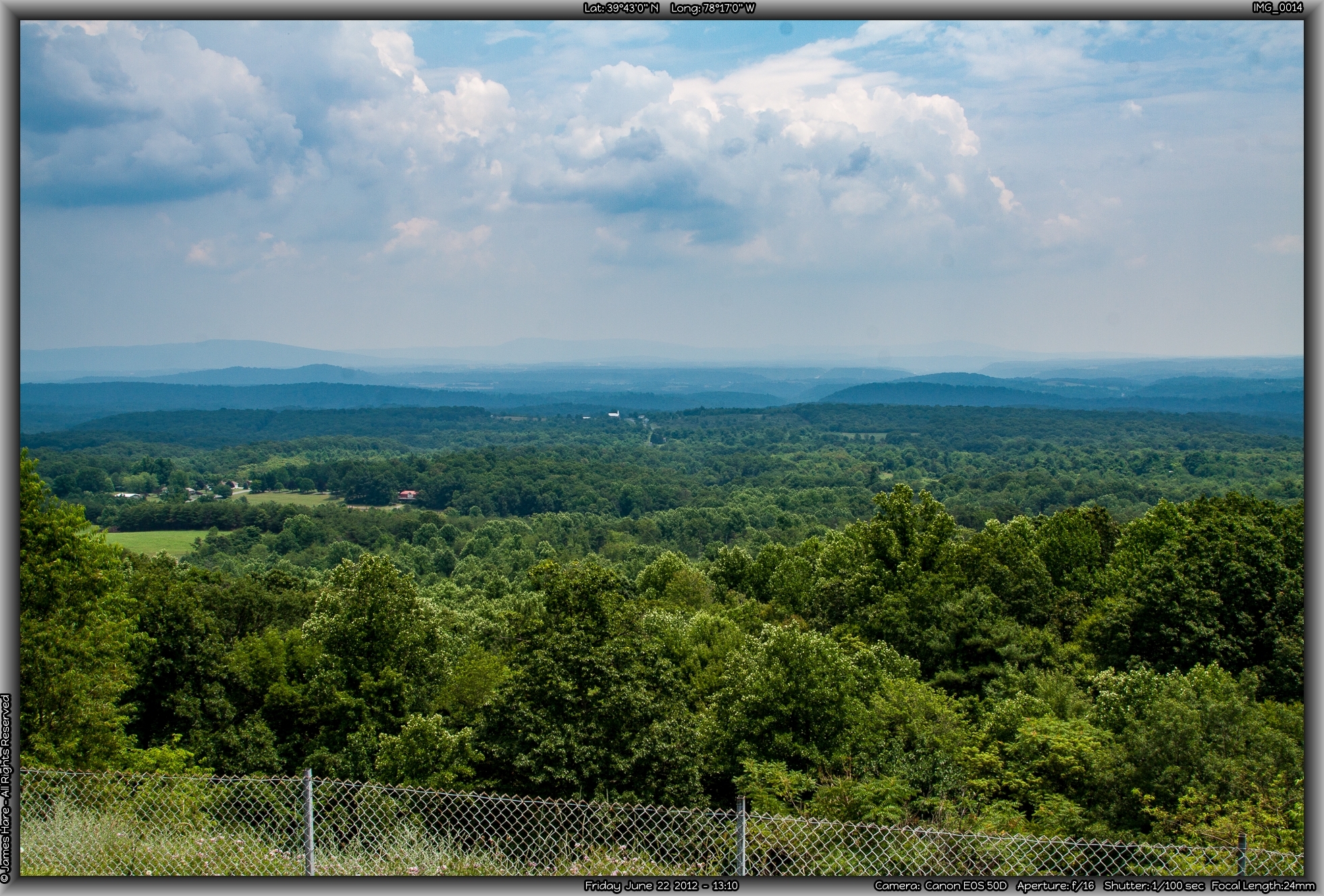
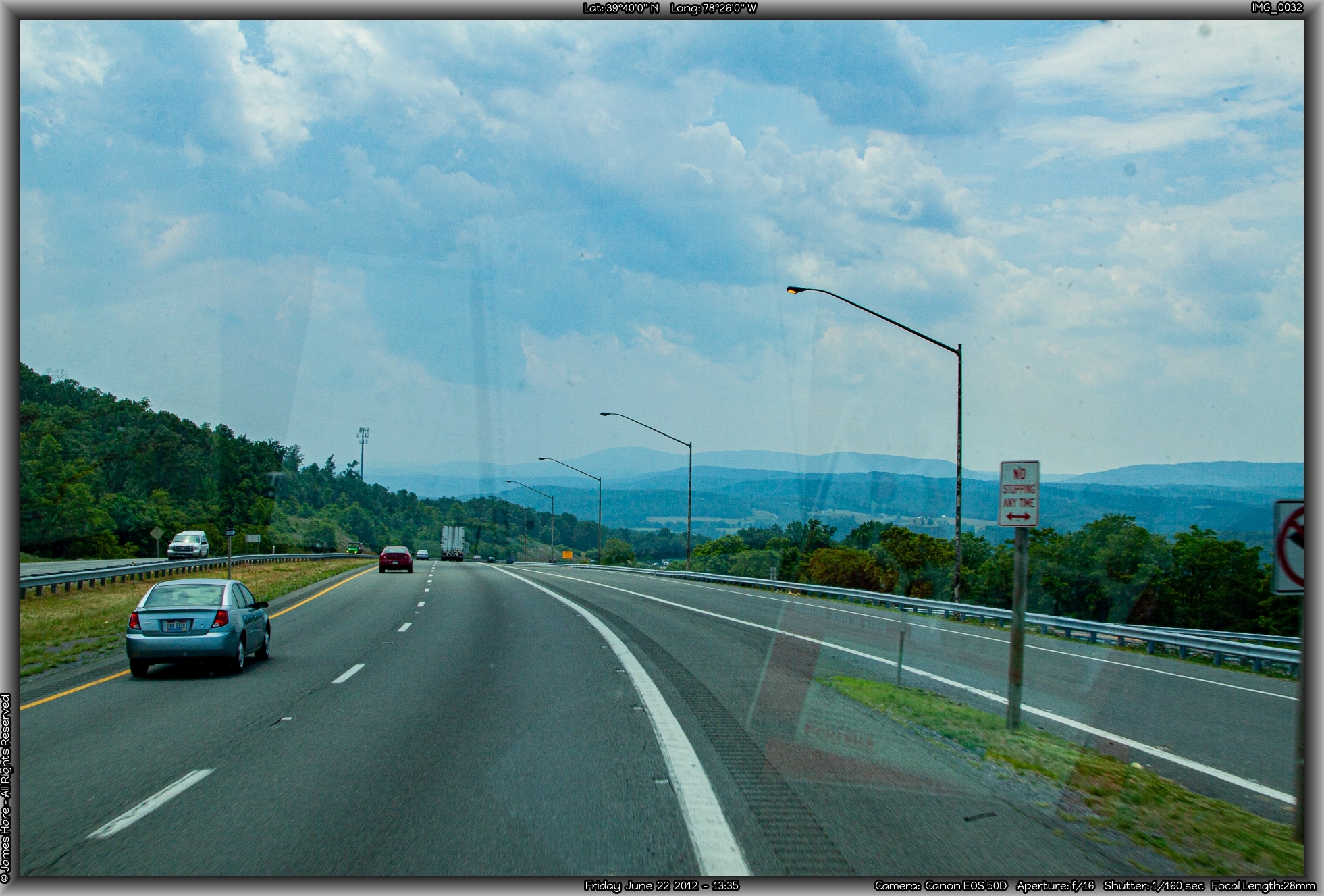
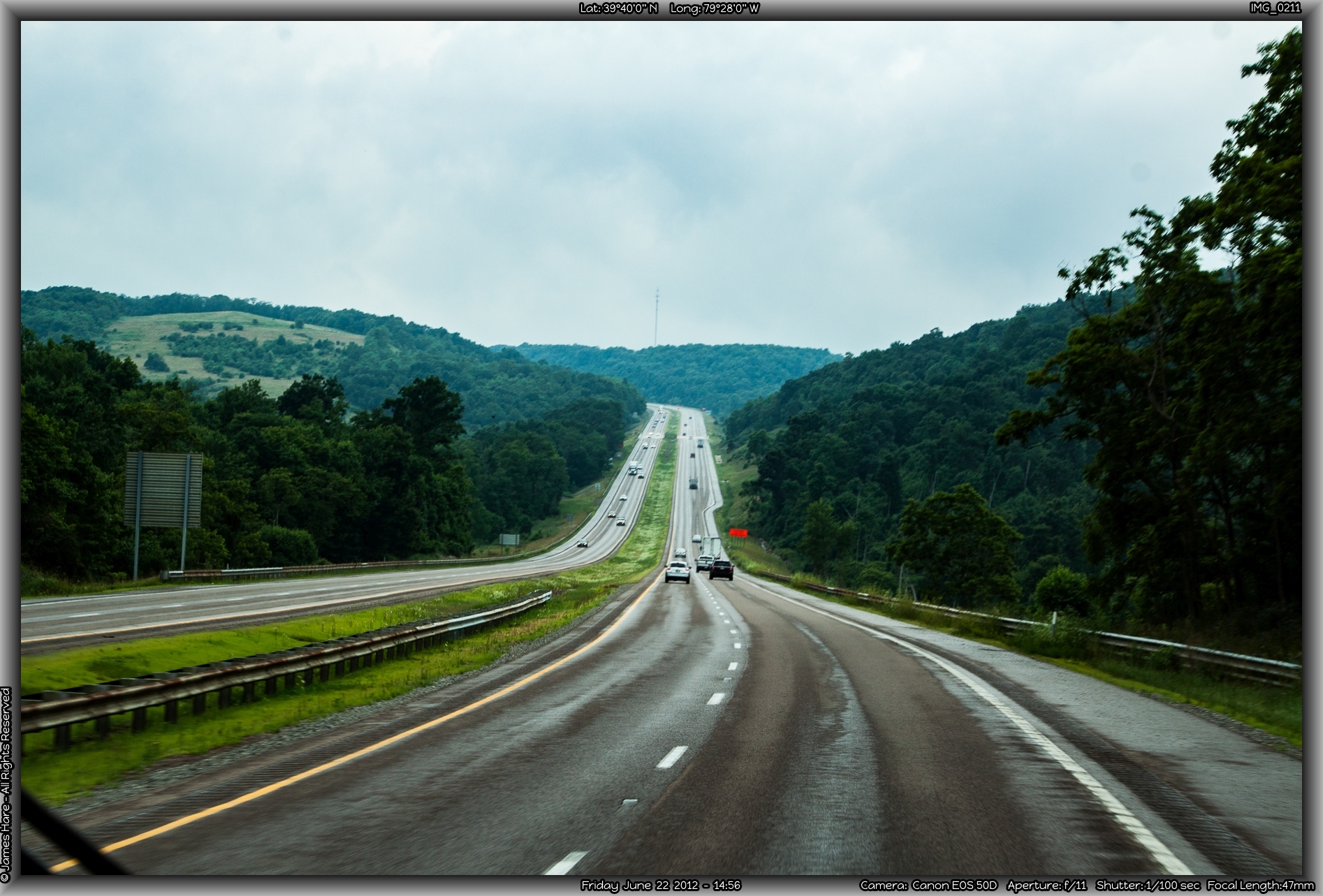
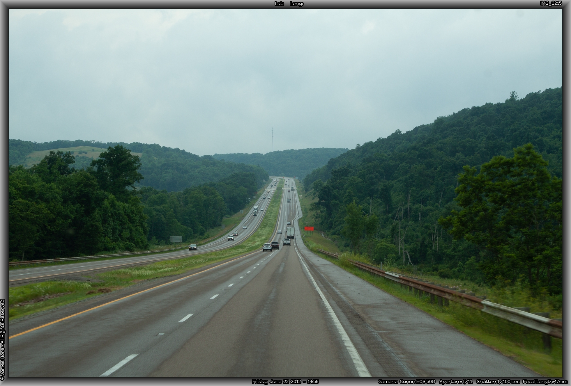
Up and down on the Alleghenys
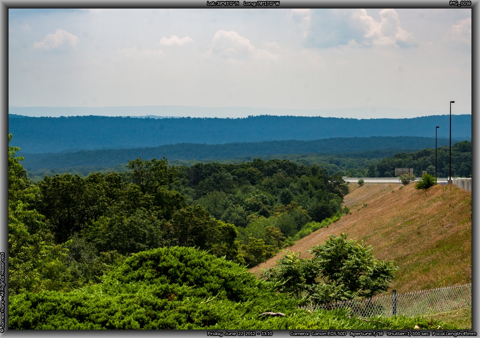
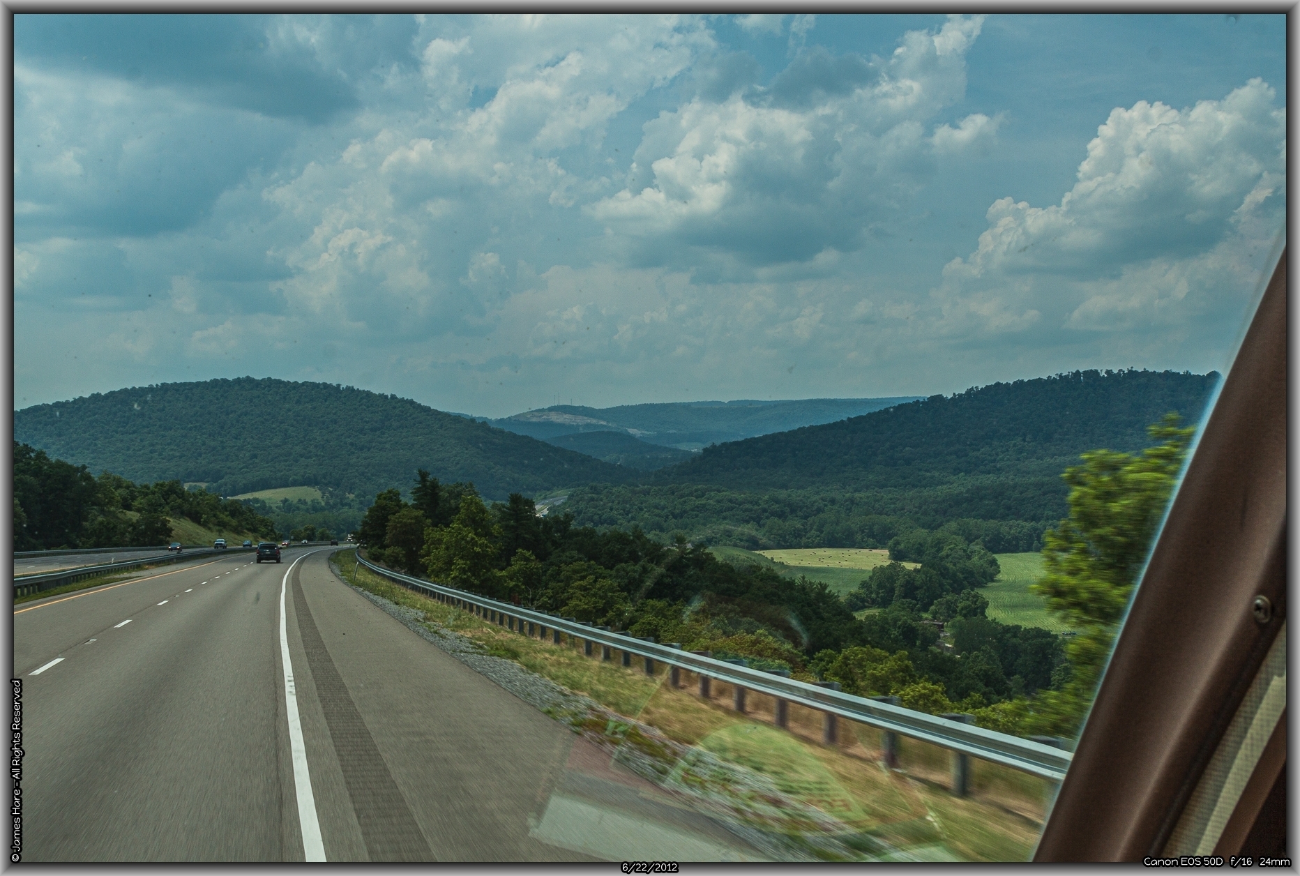
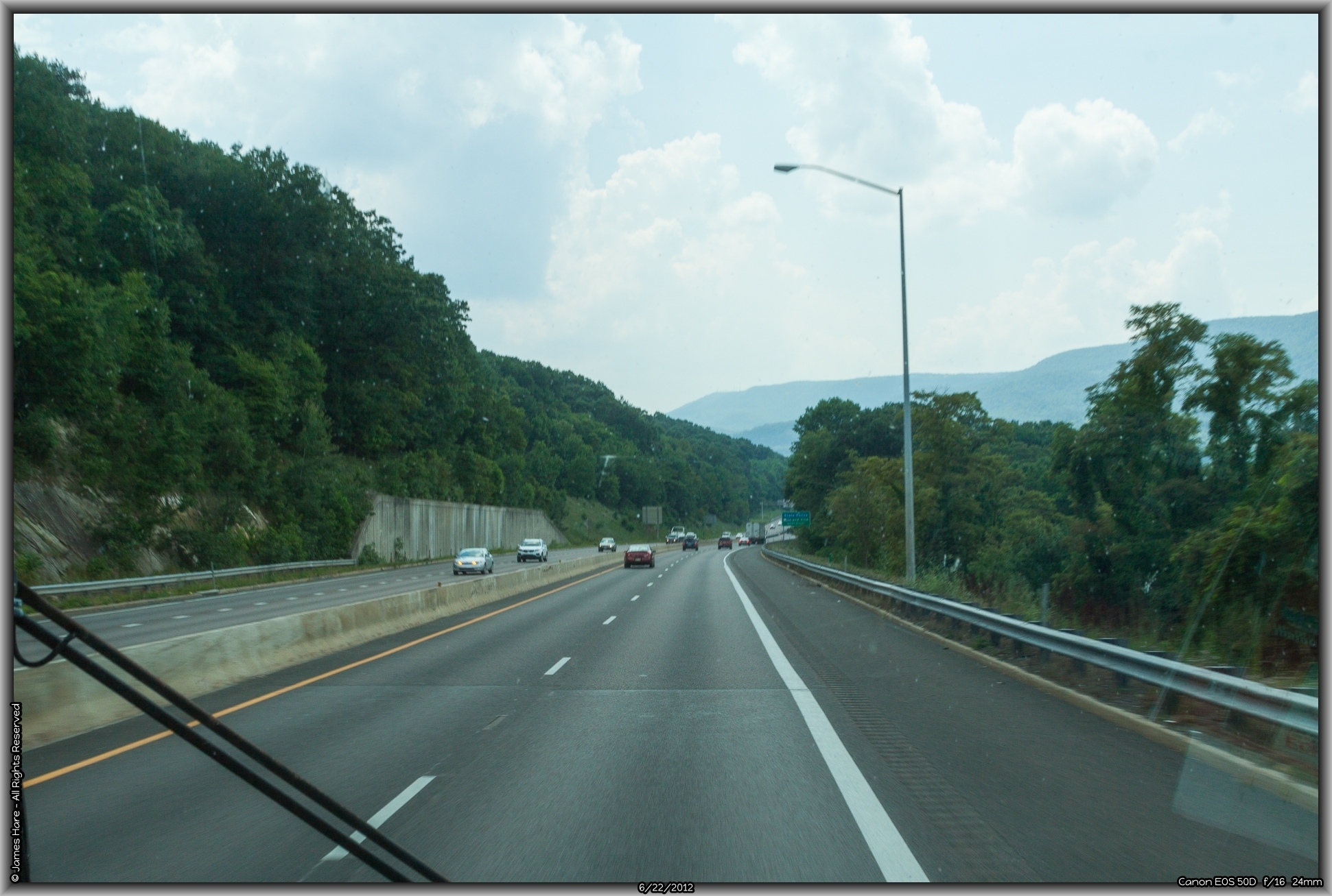
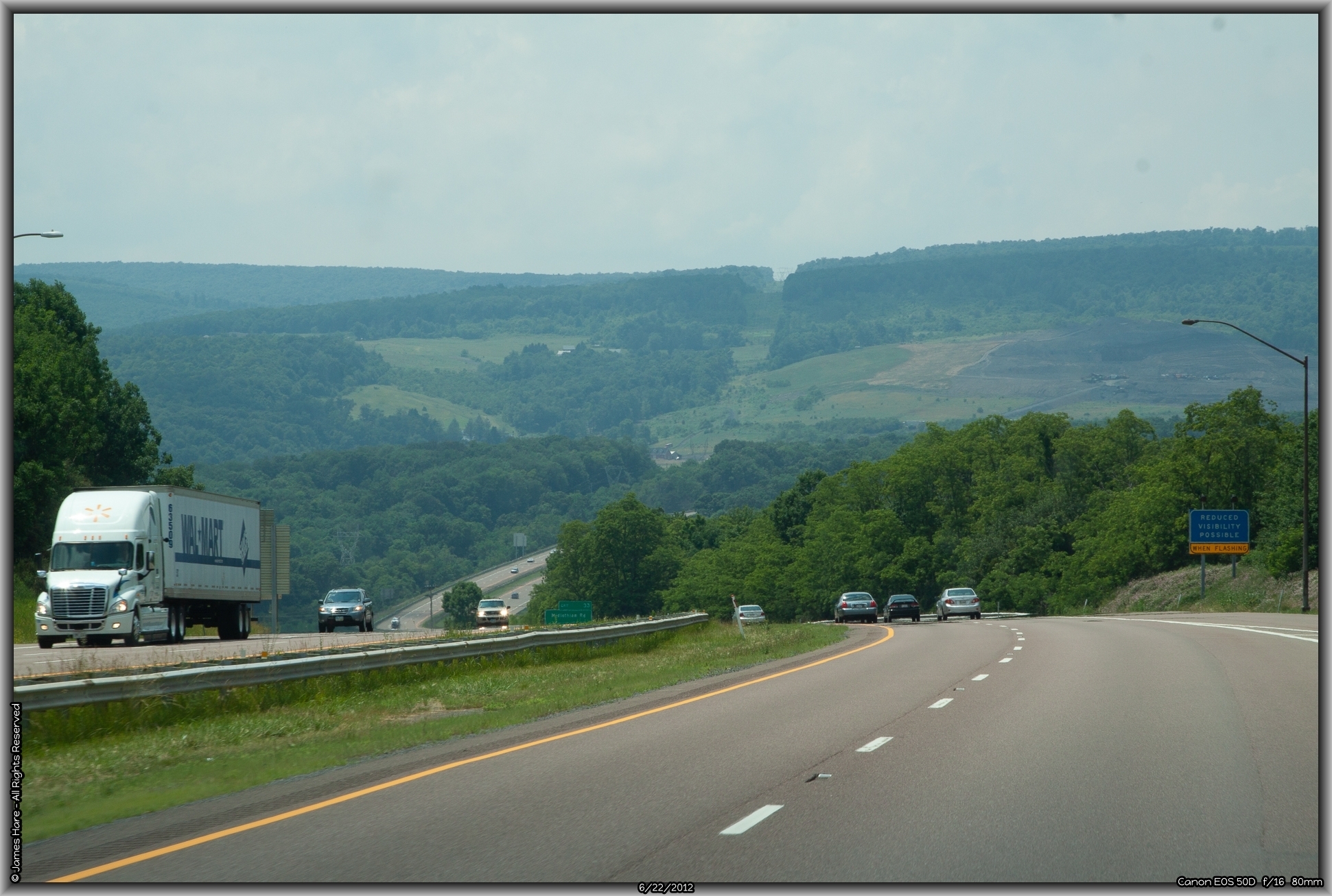
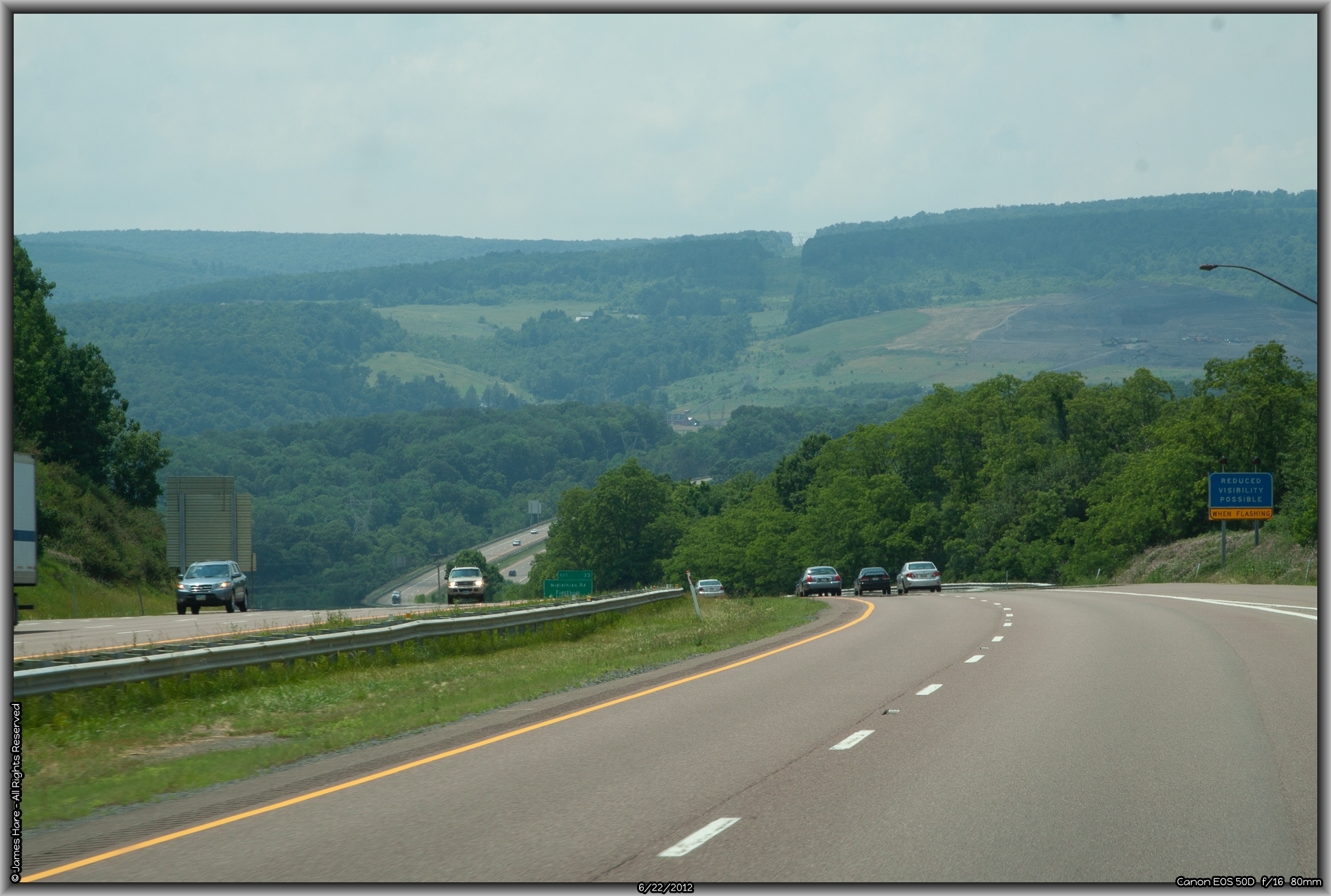
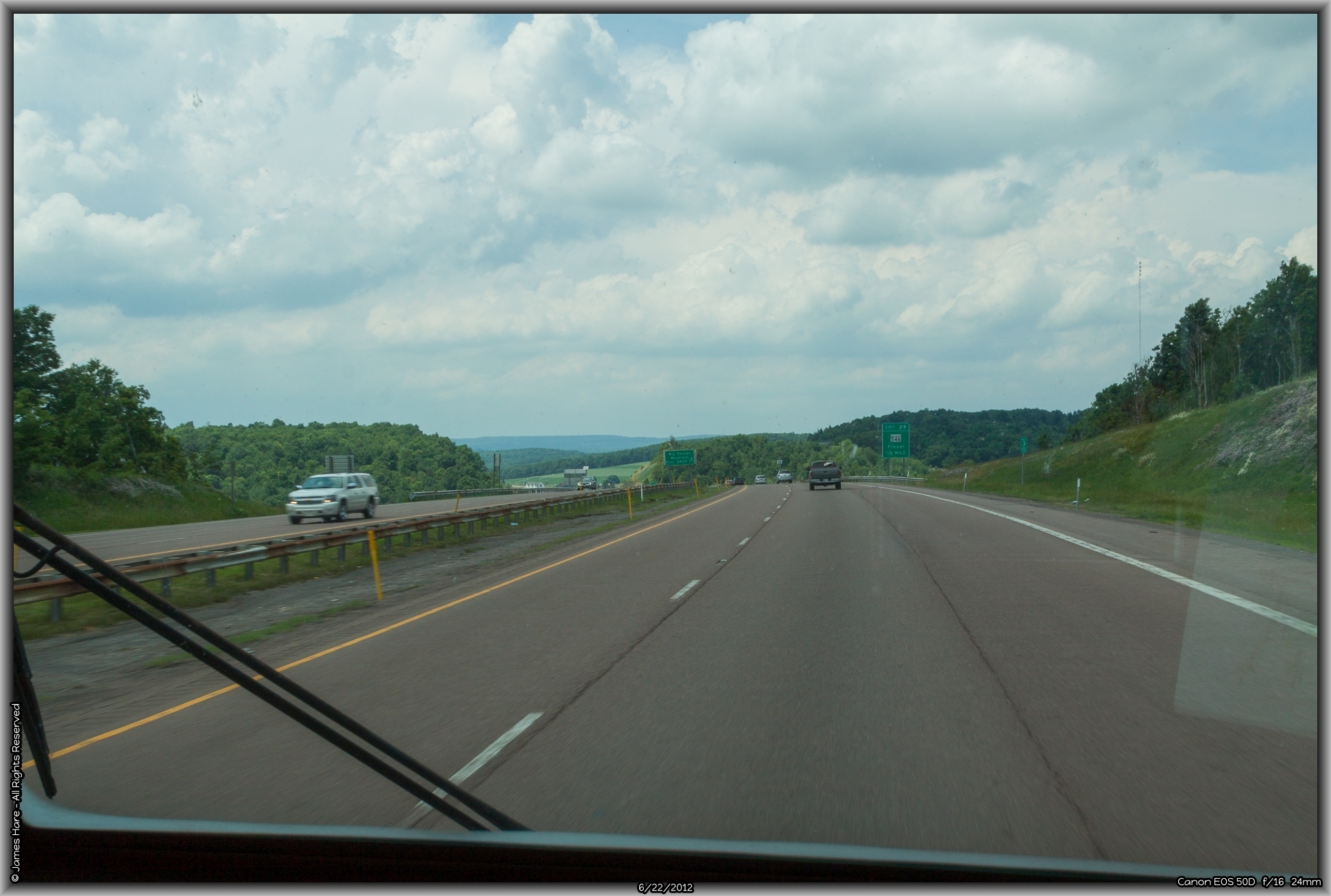
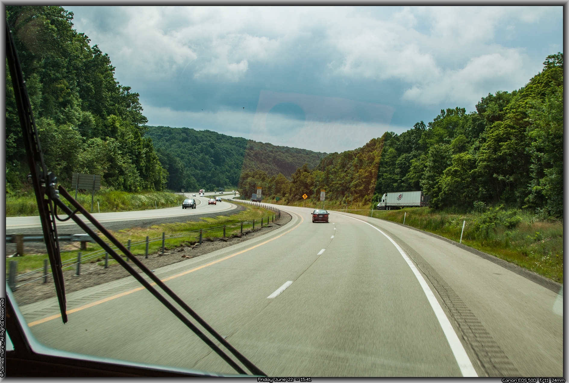
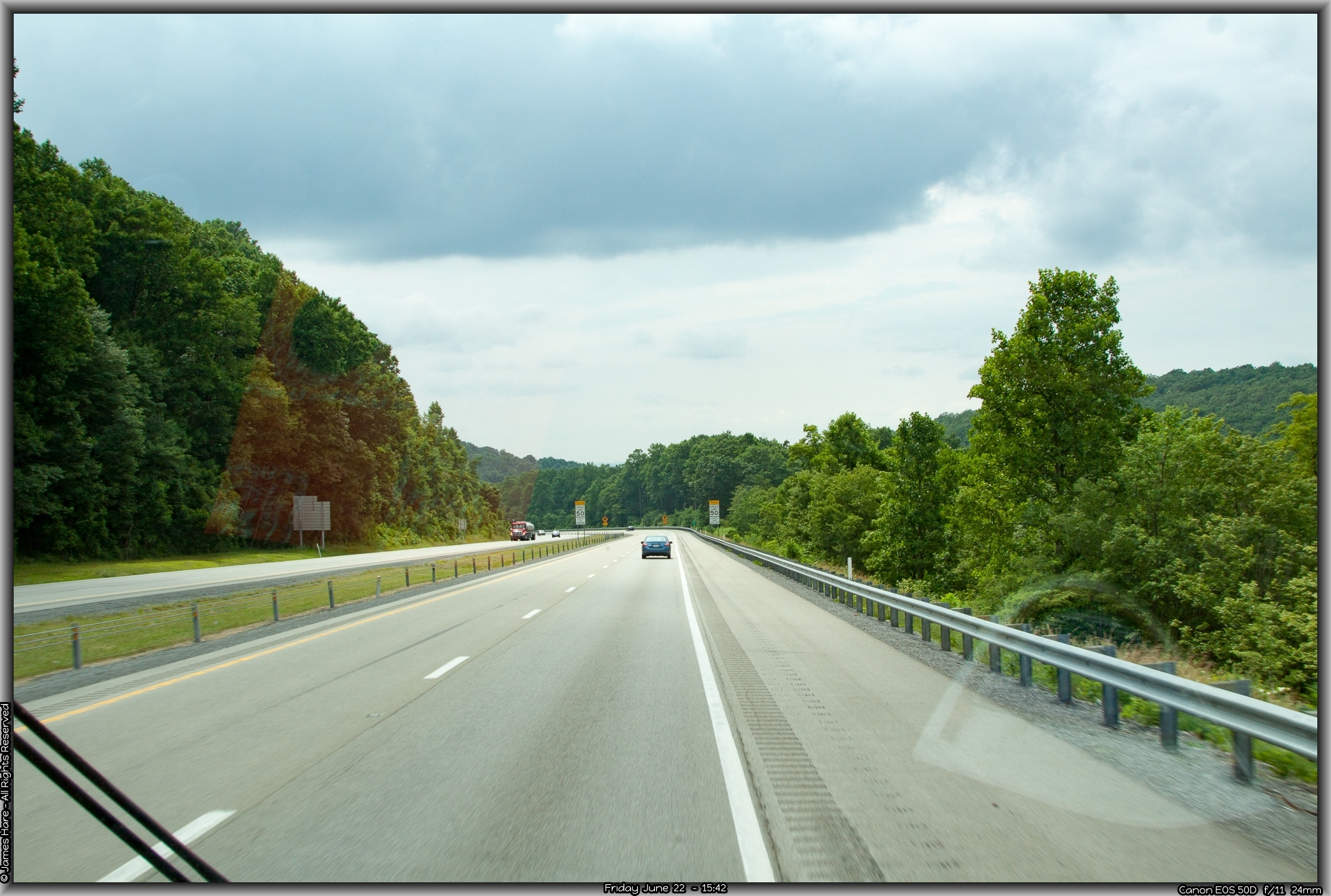
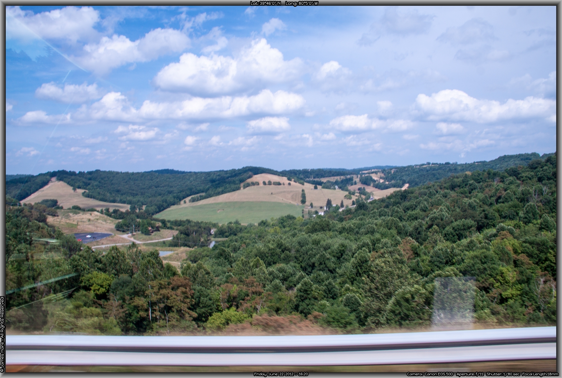
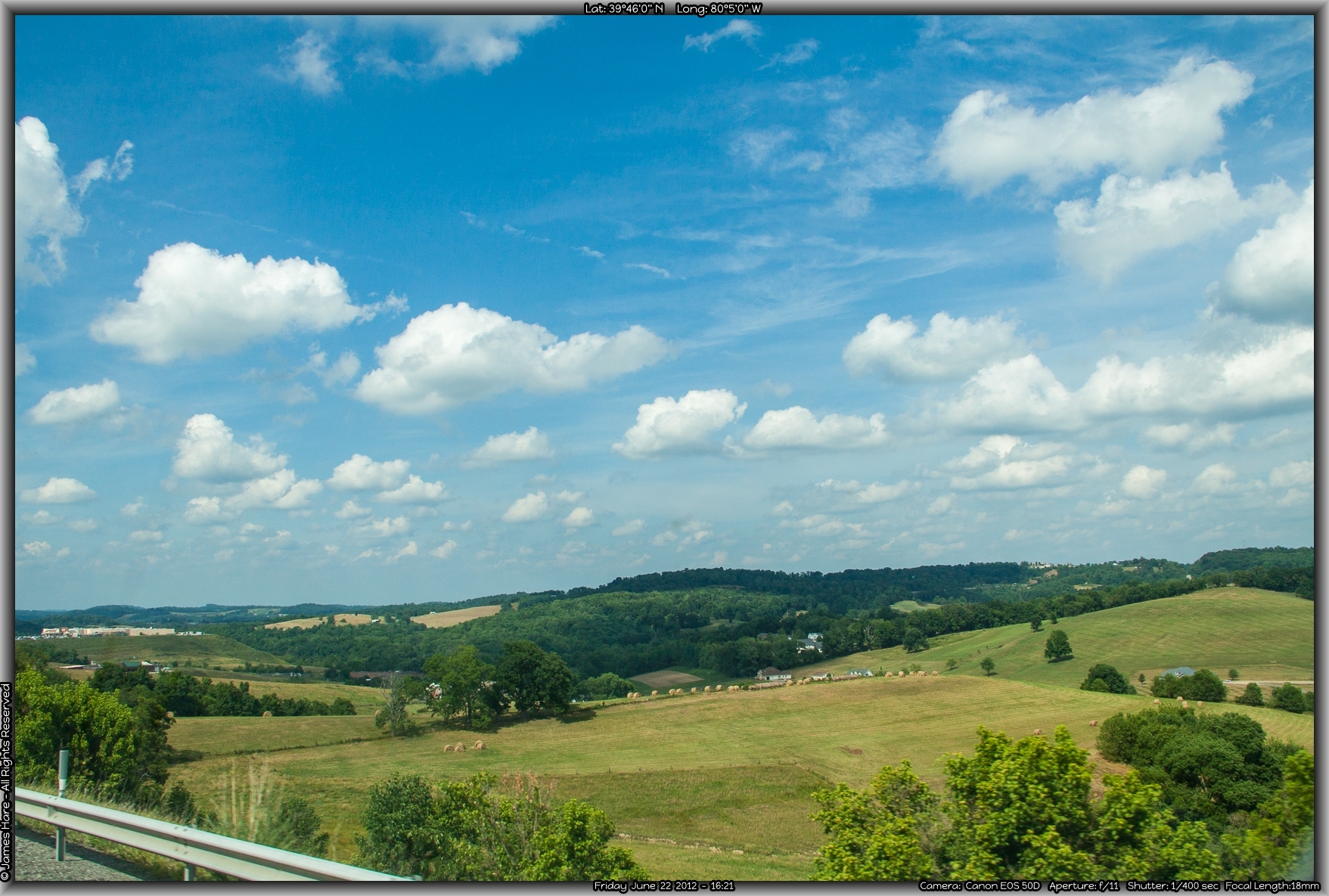
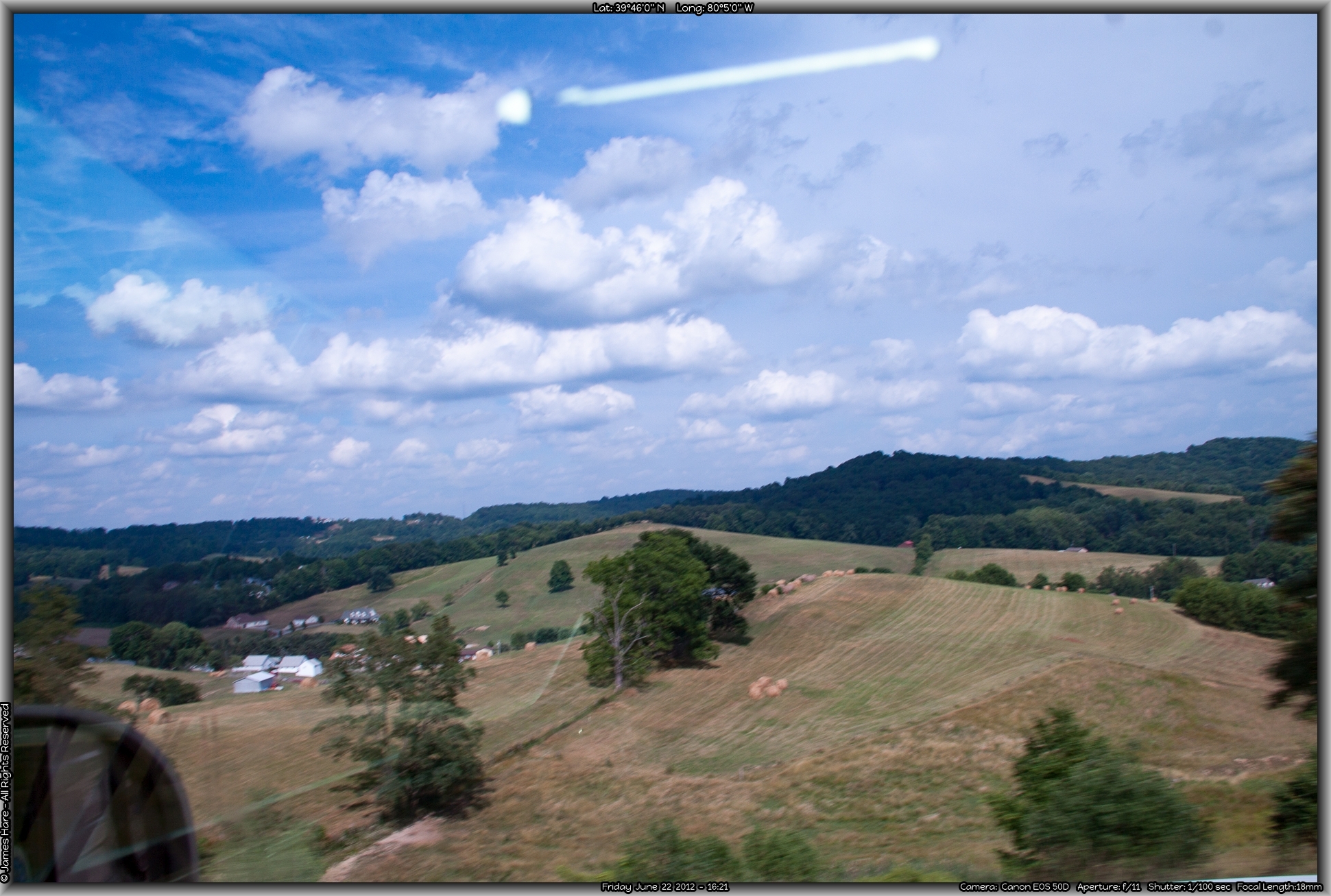
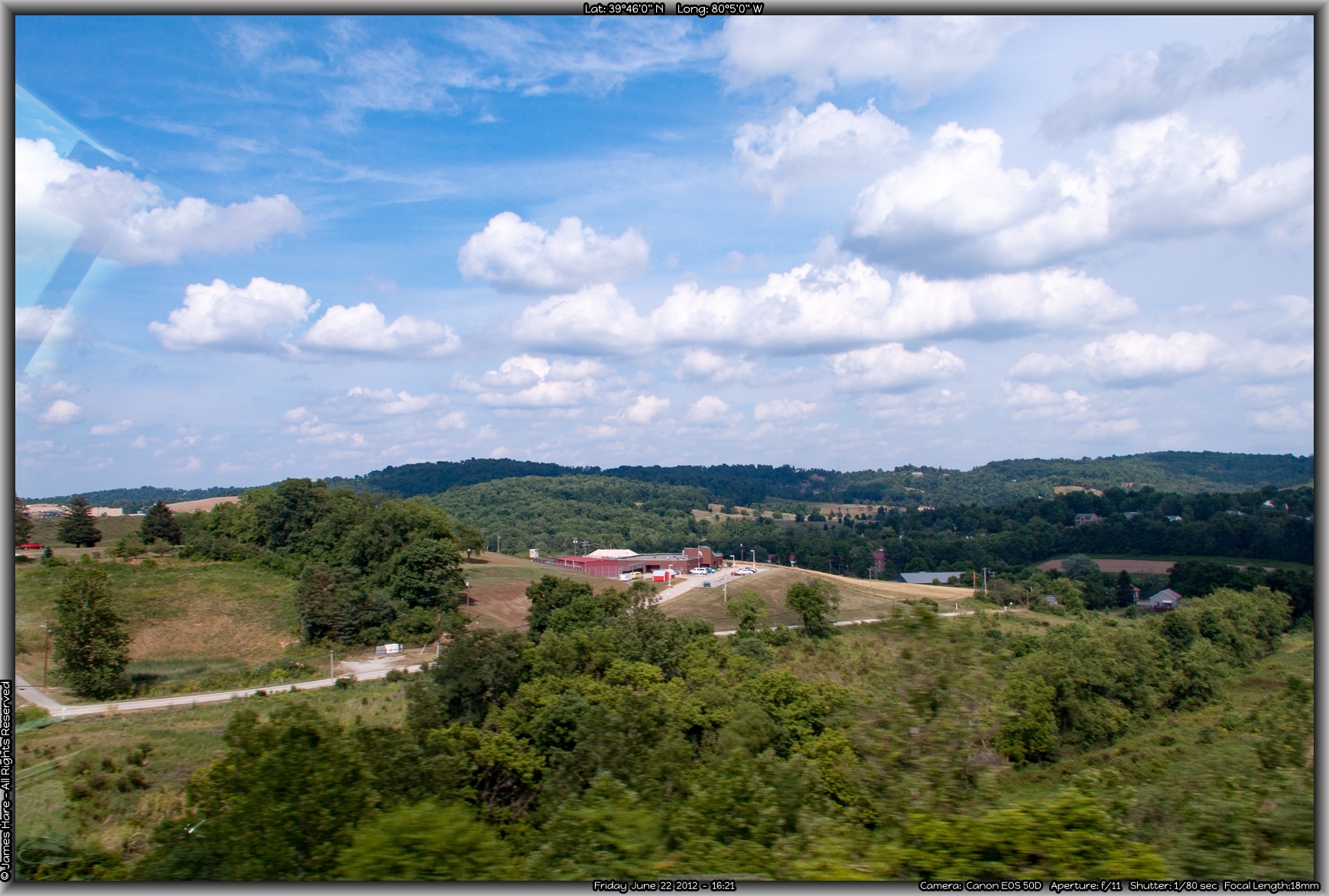
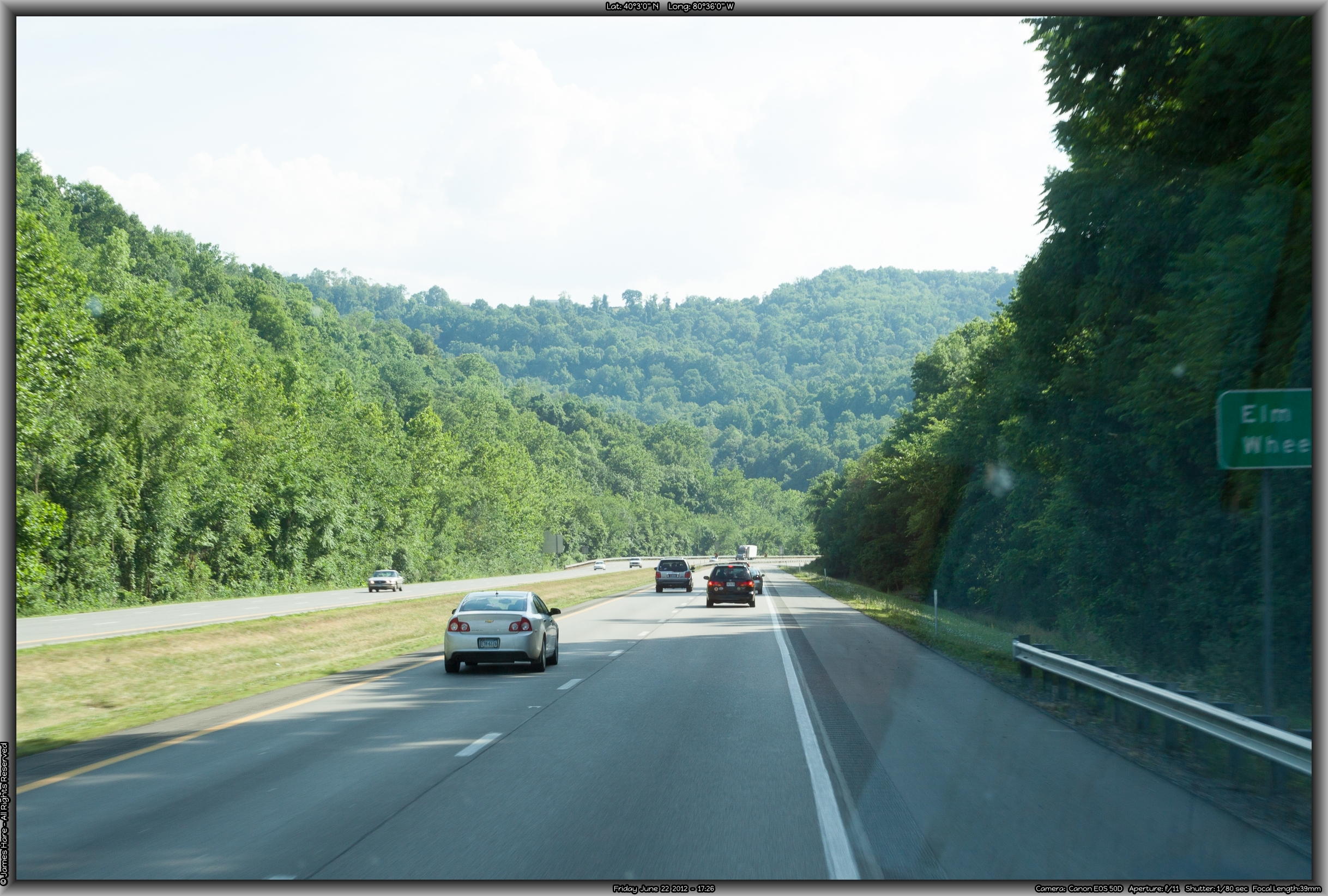
Beyond the Cut, the road settles down a bit, and the scenery, while calming, is not overly dramatic. For someone who grew up on the East coast, and is used to the gently rolling hills and unsurprising geology of Pennsylvania, I was anxious to get out where a ‘mountain’ was really a ‘mountain’. To me, that description didn’t apply unless there is snow on it in July. We trundled on, rolling westward over the ridges that ran mostly north-south, sometimes swerving around them, sometimes just following the ribbon of concrete right up over the top. Interstate 68 is co-aligned with US Highway 40 along here, which was interesting since I’d lived along US 40 in a couple of different places in my lifetime. Highway 40, before the interstates started criss-crossing the US, was an early, major east-west highway, ranking up there with US 30, the Lincoln Highway, and good ol’ Route 66. Route 40 originally stretched from Atlantic City to San Francisco, but has now been supplanted by stretches of I-70 and I-80. I-68 was a major improvement over US 40 when it was laid down over these hills, as 40 is a two-lane country road with numerous switchbacks, hairpin turns, and steep grades. Since 40 was laid down pretty much over the old cow paths and native trails, there probably wasn’t much of an effort to make it easy for trucks, busses and cars going 70 miles an hour. The late 1960s finally saw the construction of the interstate over these hills, and the cities of Cumberland MD and Morgantown WV saw improved traffic flow and, to some extent, based on the number of billboards, an influx of tourist/traveler dollars.
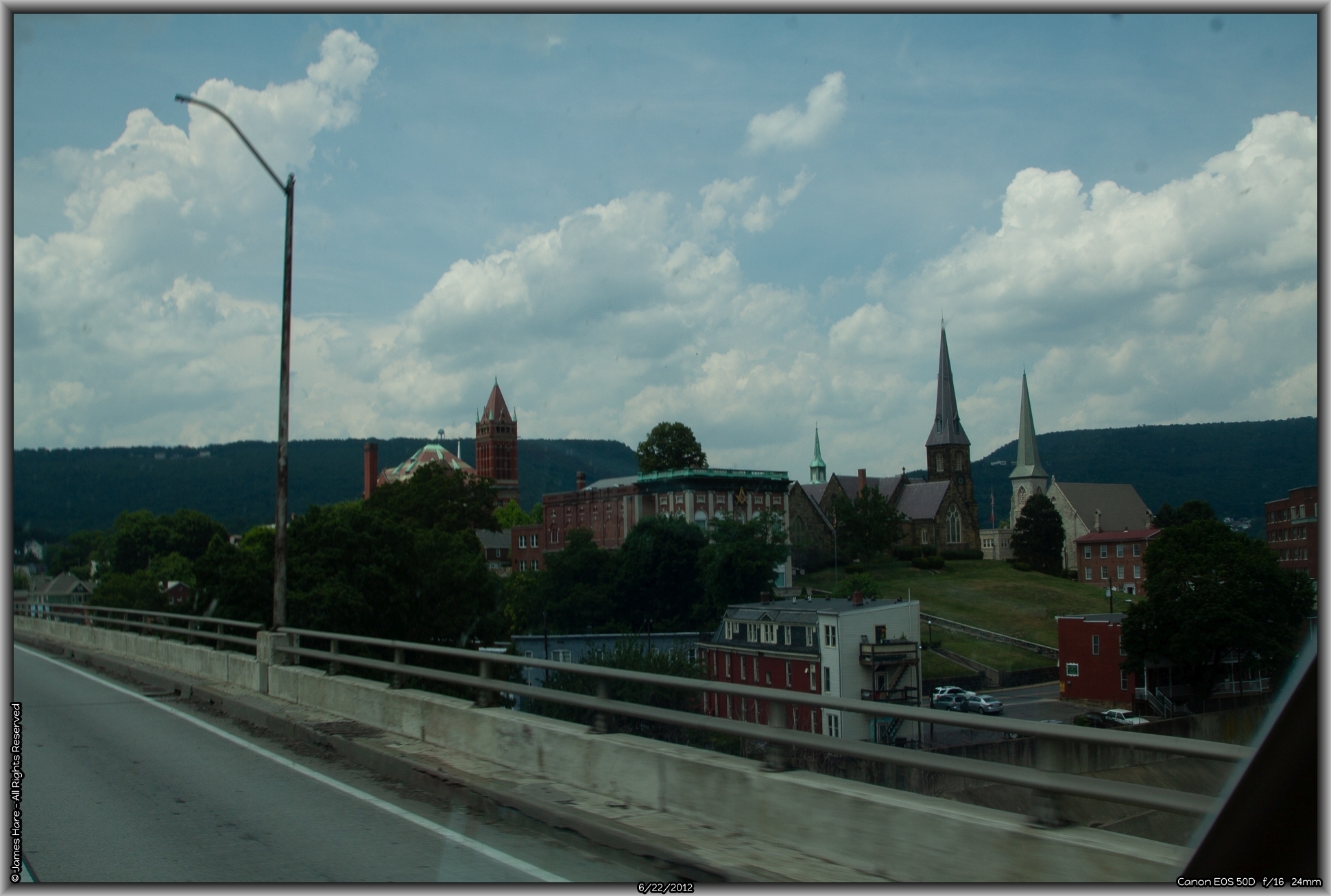
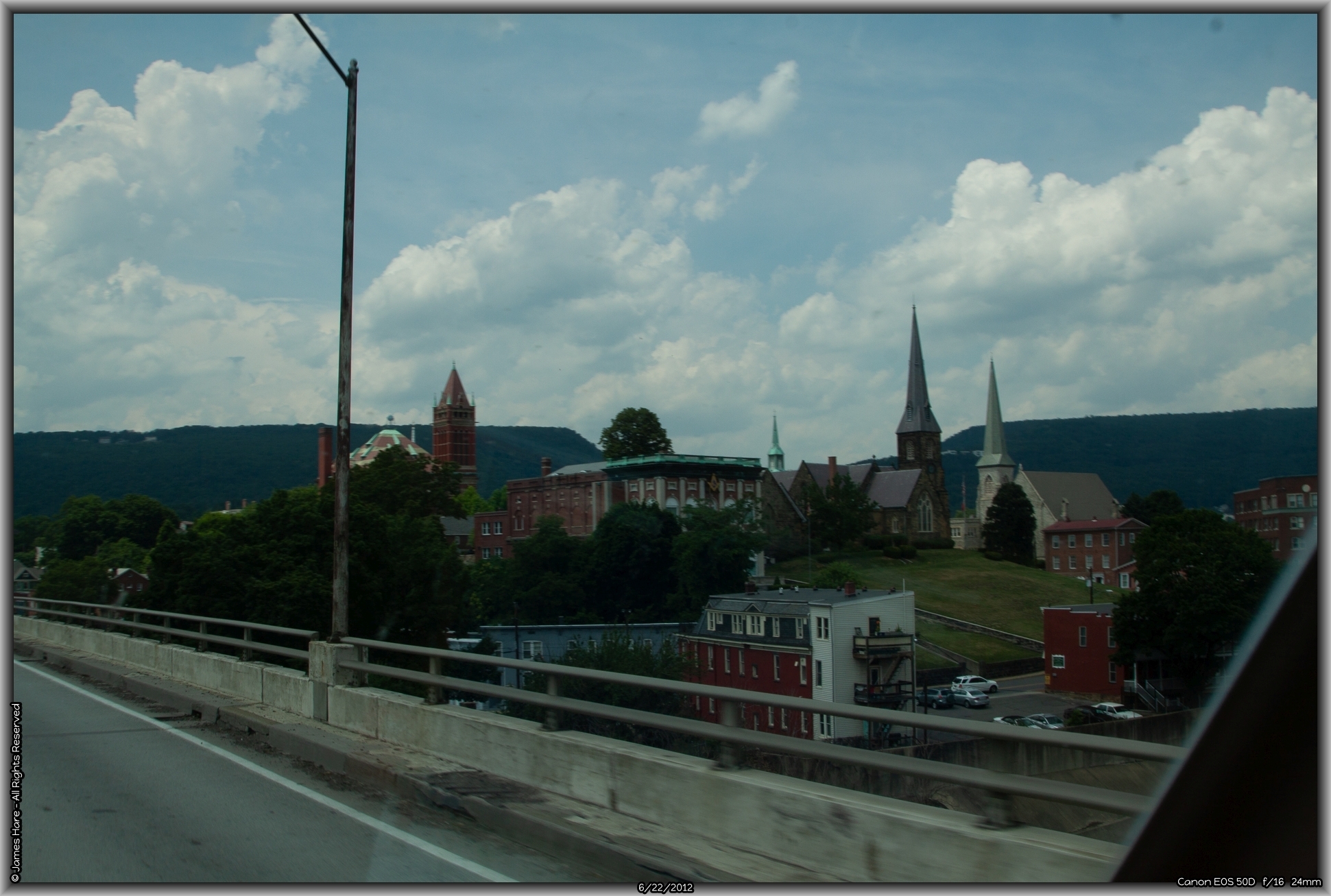
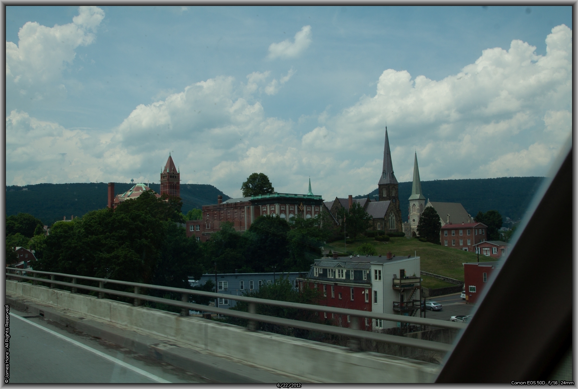
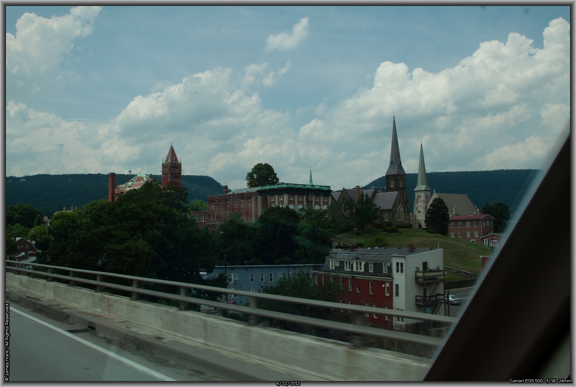
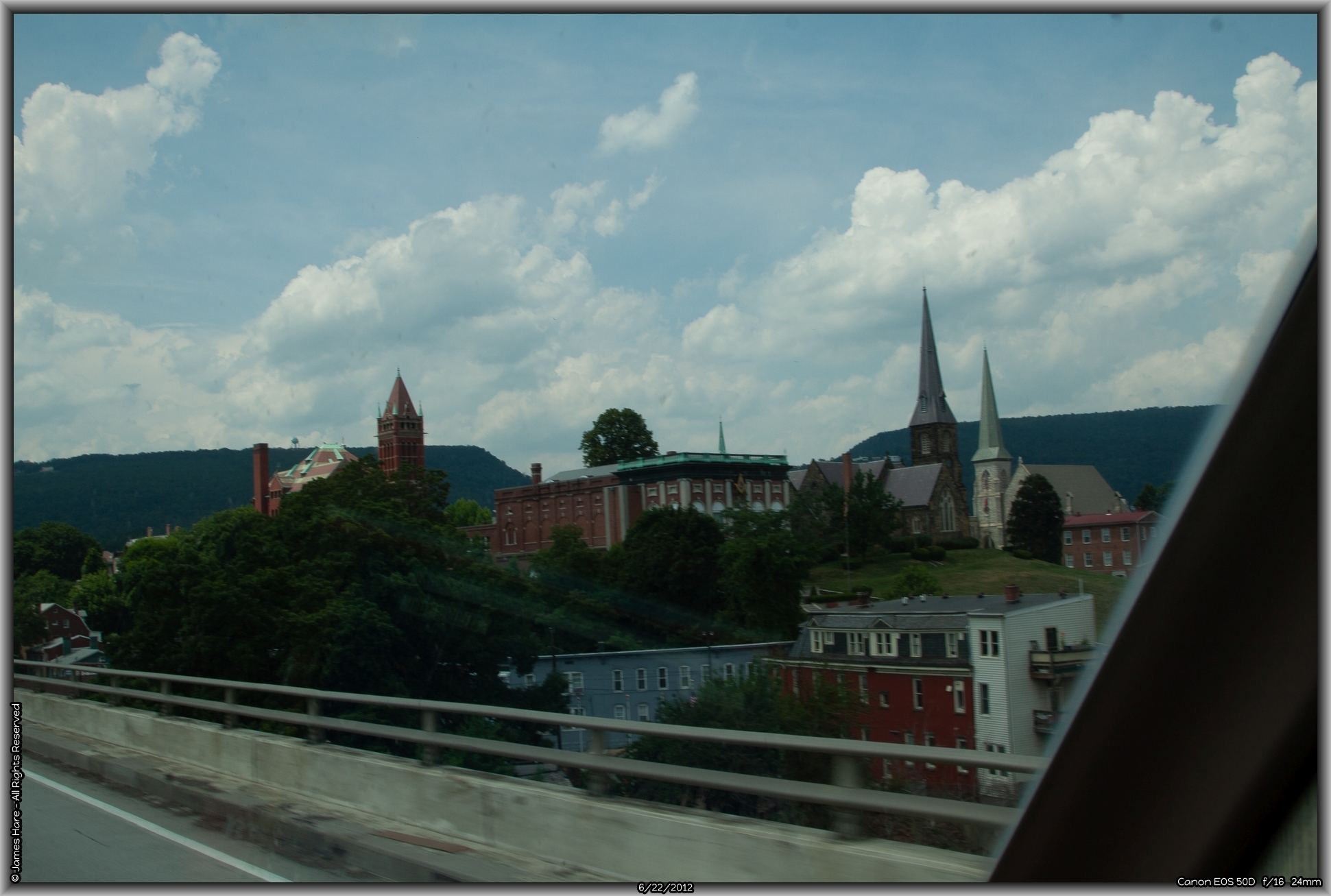
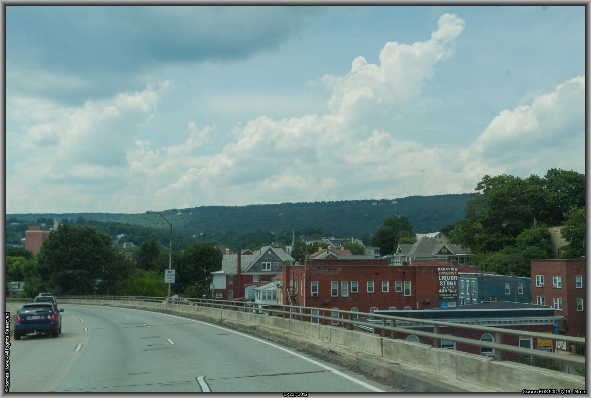
One drops down out of the hills into Cumberland. After a slight curve to the right, you climb “Church Hill”, a stretch of overpass through Cumberland that offers at least a half-dozen churches and ministries perched on a hilltop in the center of town.
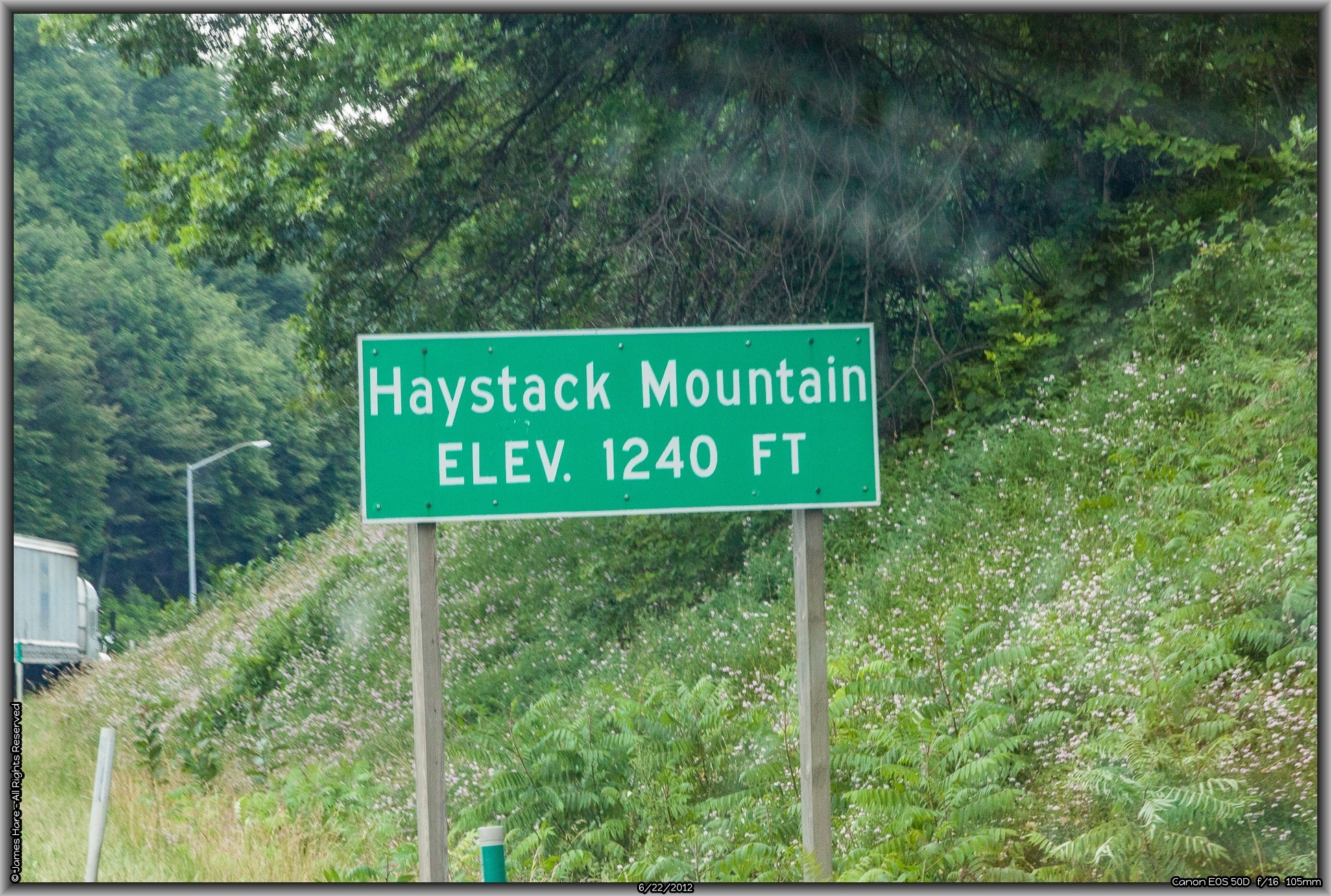
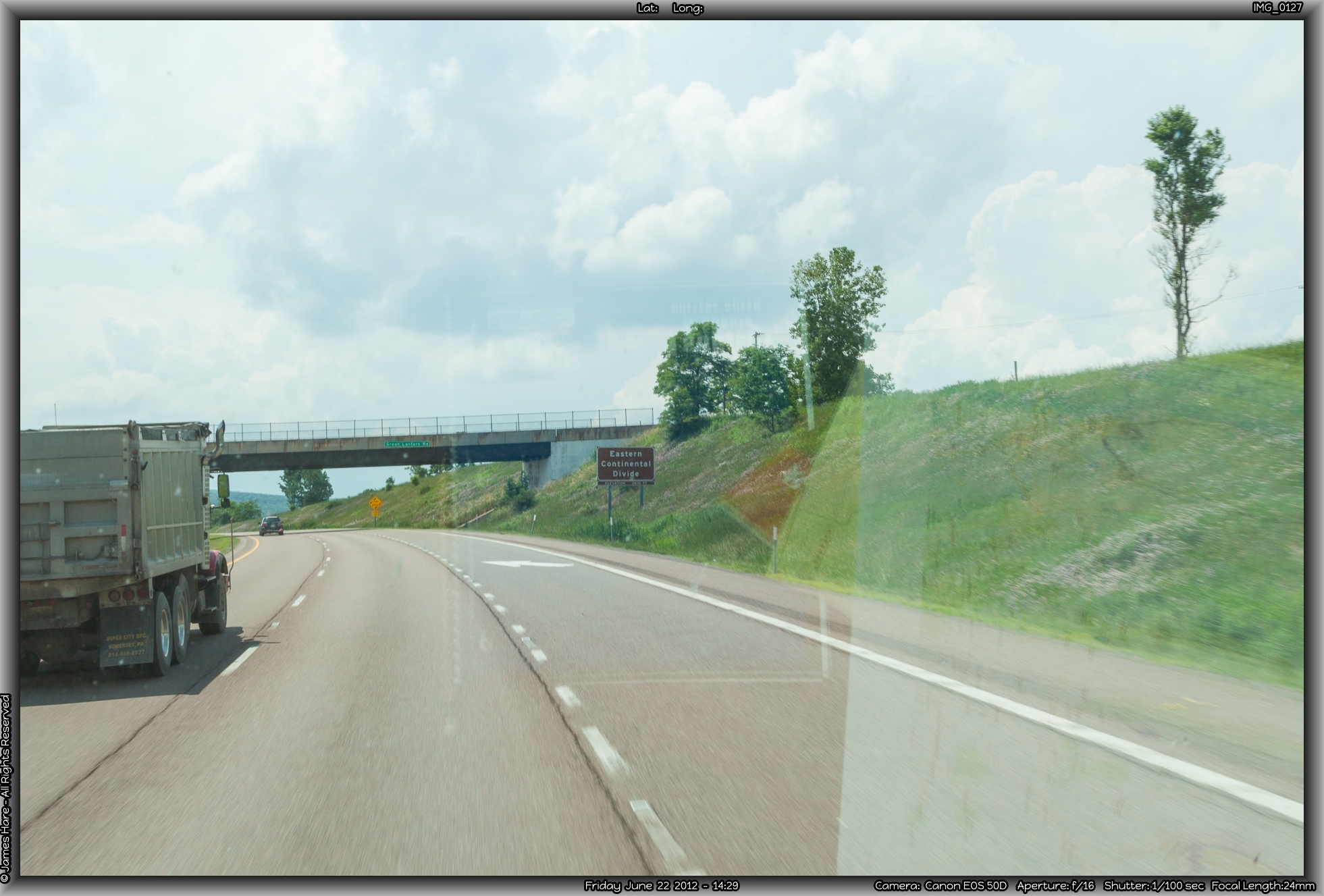
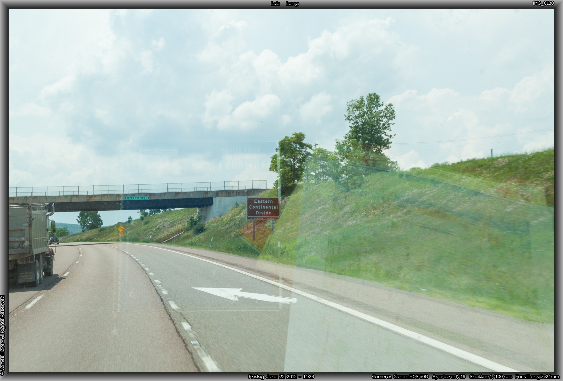
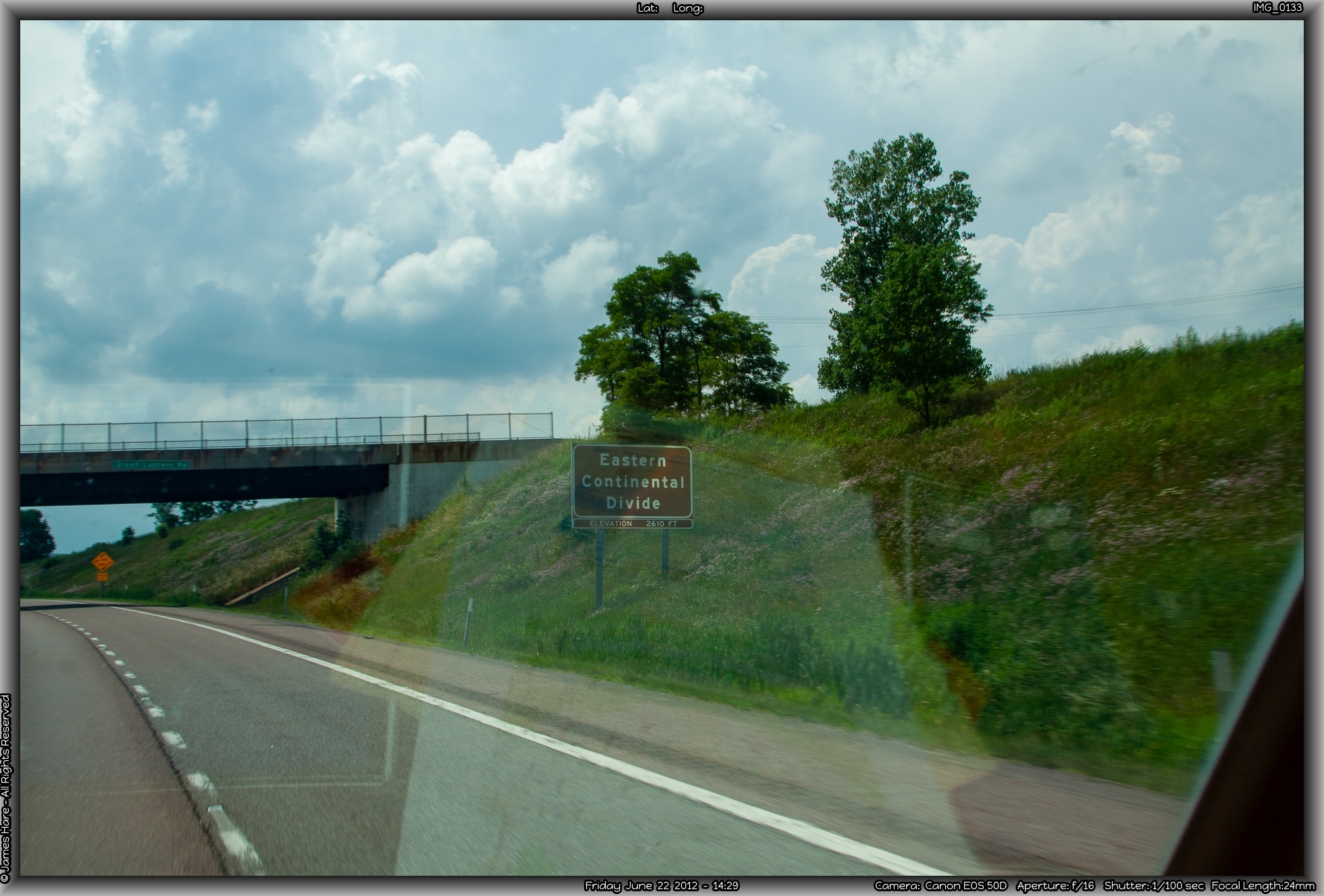
Out of town, you climb up Haystack Mountain, all 1200 feet of it, and pausing for breath, begin another roller coaster ride across the ridgeways of western Maryland. After Cumberland, you pass beyond or along the hamlets of Frostburg and Grantsville, driving alarmingly close to the Pennsylvania border. There isn’t really much memorable here, but as I noted, the scenery is verdant. And, of course, there’s the calming influence of the Wal-Mart trucks everywhere you look. Around Grantsville, you pass over a spot marked as the Eastern Continental Divide, whereupon waters flow to the Atlantic on one side, and the Gulf of Mexico on the other. More interestingly, what it means is that every drop of water you’ll see from then until you cross the main Divide over in Wyoming will drain into the Mississippi River at some point.
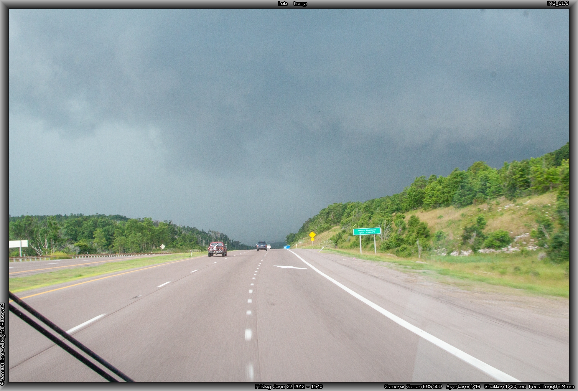
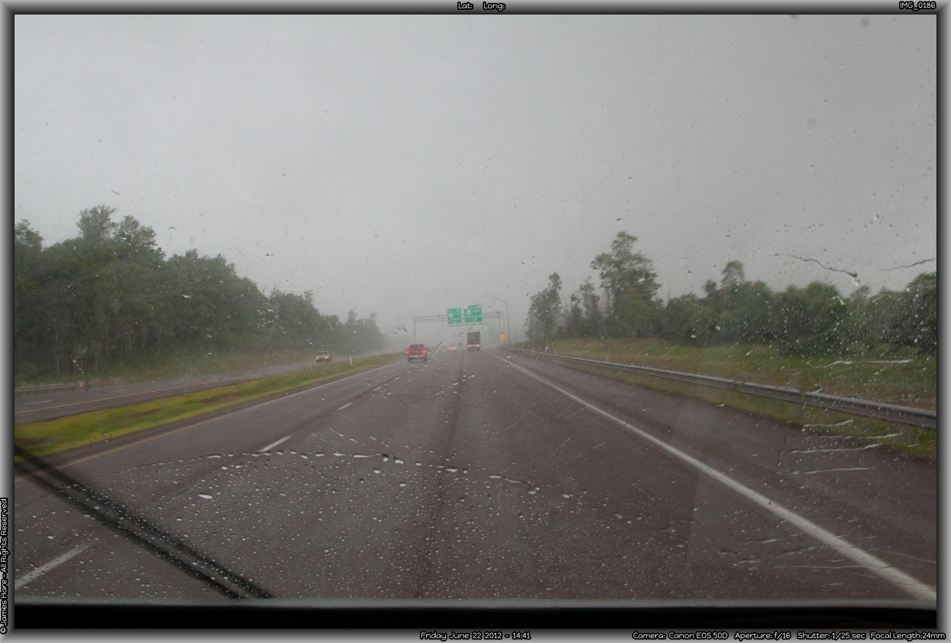
A little farther along, we were ascending Negro Mountain (I wonder if that’s a ‘cleaned up’ name?….) when another 30-second downpour hit, and cleaned the bugs off the windshield again. It didn’t seem to drop the temperature or humidity much, though. Before we knew it, we’d left Maryland behind, and crossed into West Virginia at about 3PM, for the first of two times we’d enter it today.

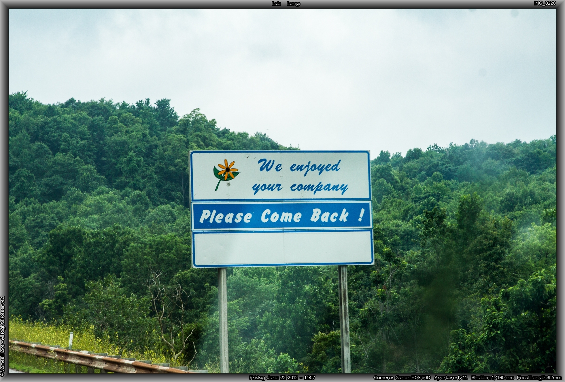
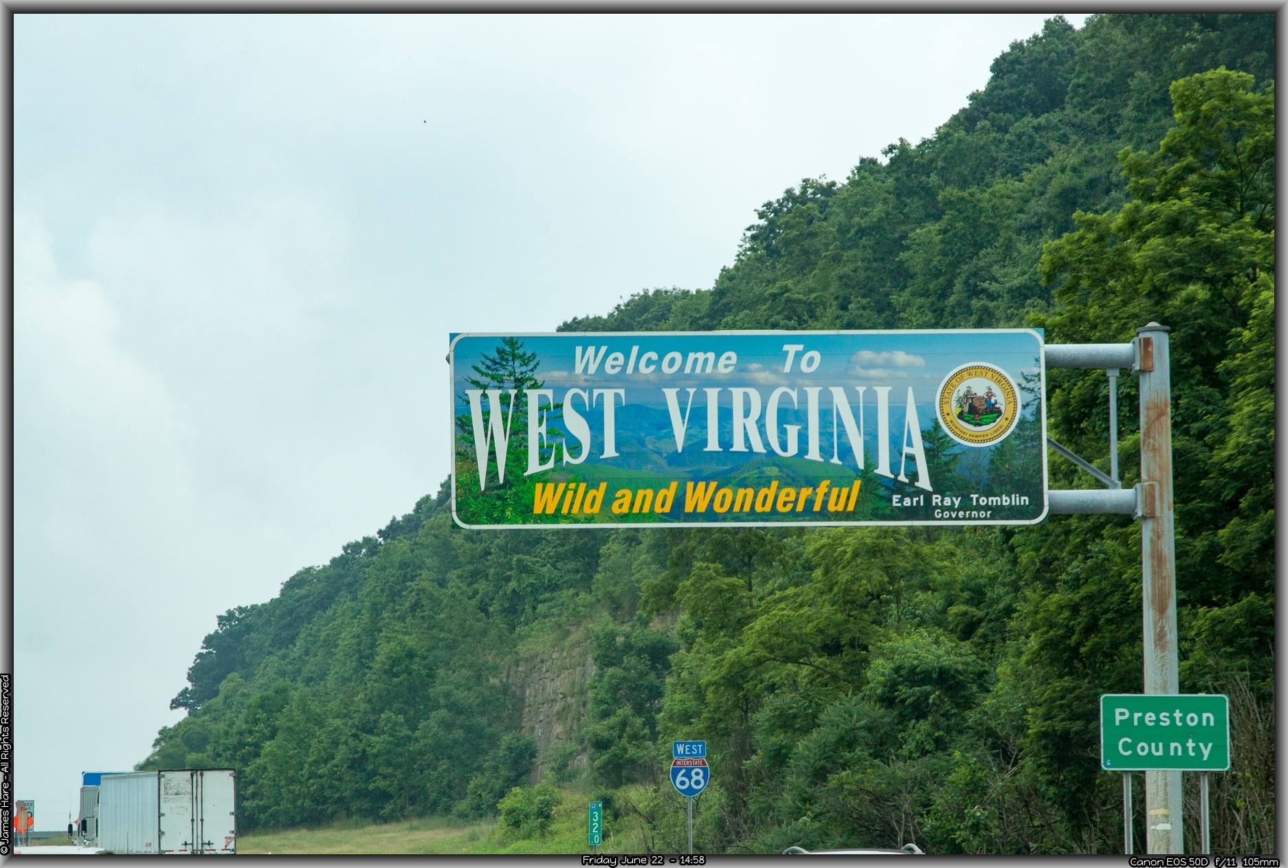
Into West Virginia, the First time – State #4
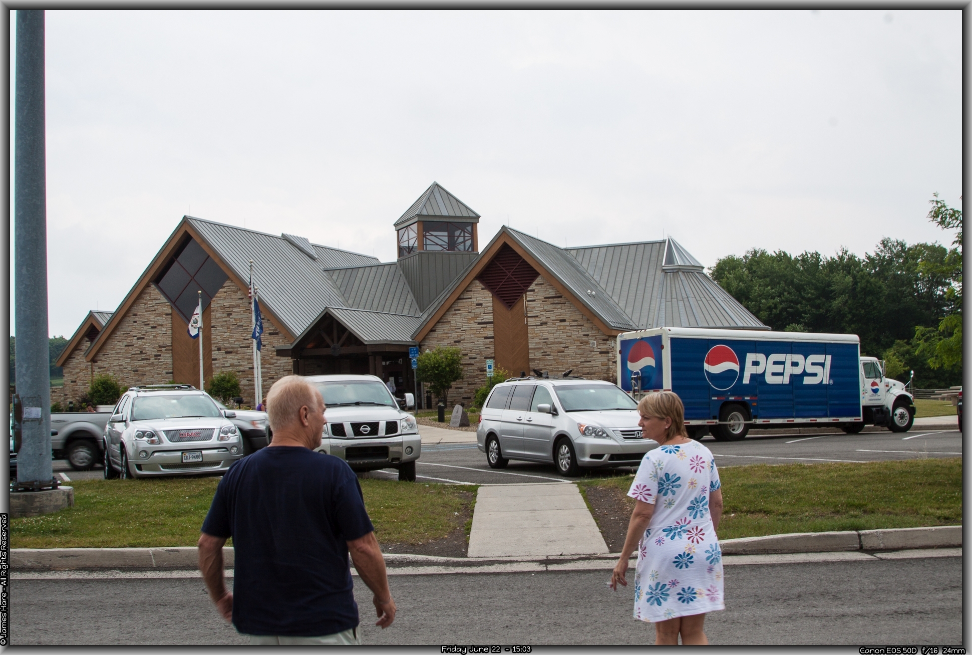
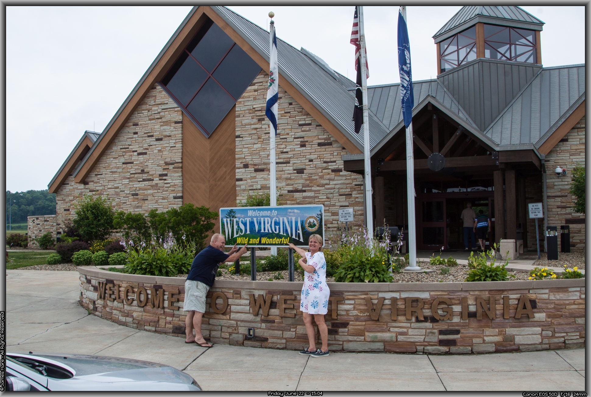
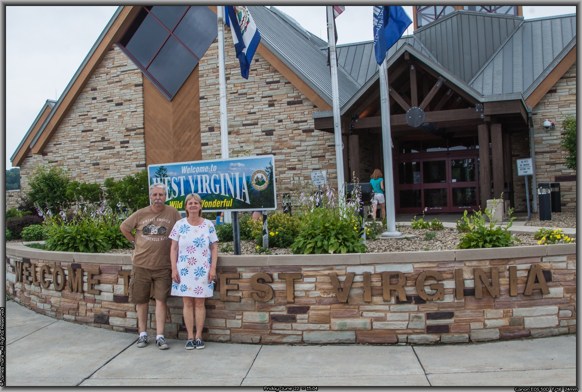
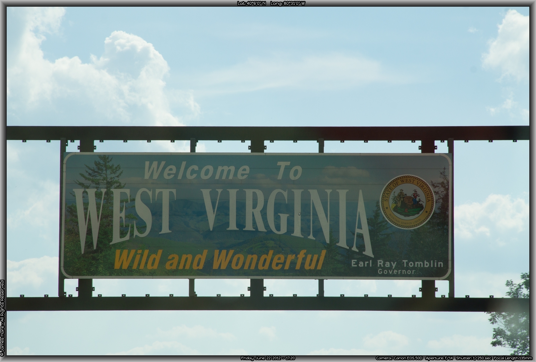
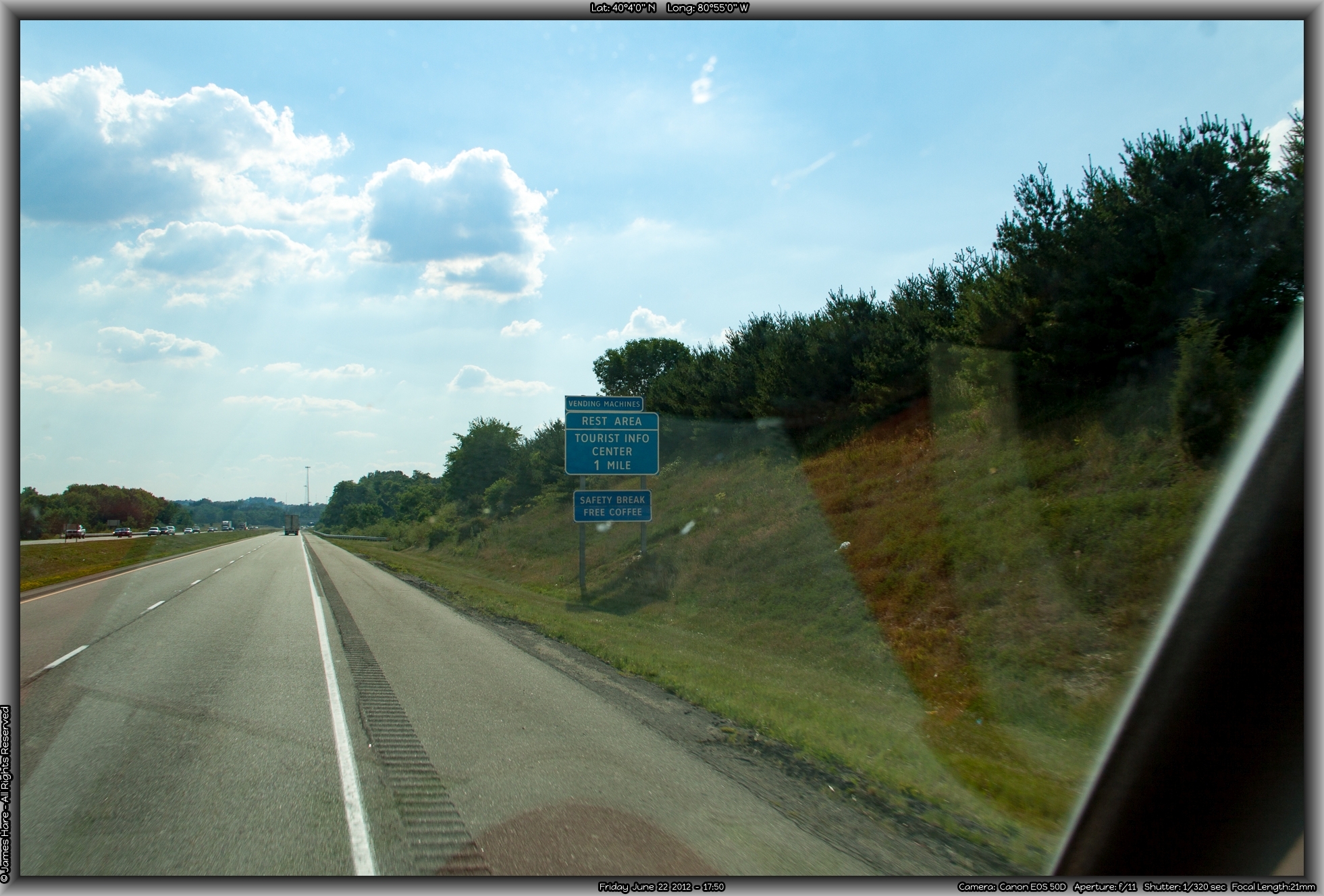
The recent rains left fog and mist settling into the hollows and valleys as we motored on into Wild and Wonderful West Virginia. The border sign reminded me that we were now entering the area where everybody has three names. A few miles in, the requisite state Welcome Center beckoned, and we pulled off for our first break since Sideling Hill. We’d decided to stop off at as many welcome centers as we could, to collect post cards to send back home to our grand daughter, and maps, brochures and other touristy information to add to the archives. Hal and Melissa pointed out to me that they were WILD and WONDERFUL too… The University of West Virginia was carrying out a survey on travelers, so I stopped and gave them the kind of answers that would totally skew their results, (“yeah, I was born here, this is my first trip, there are 39 of us, heard about you in geography class, but I probably won’t be back”) and took a bottle of water as my door prize.
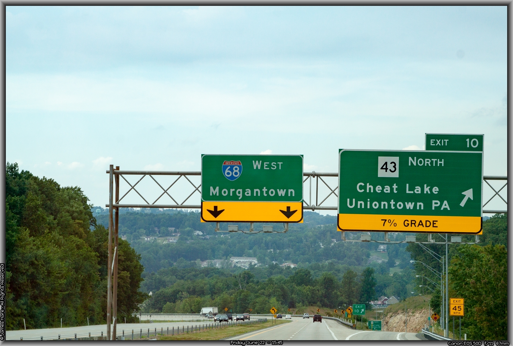
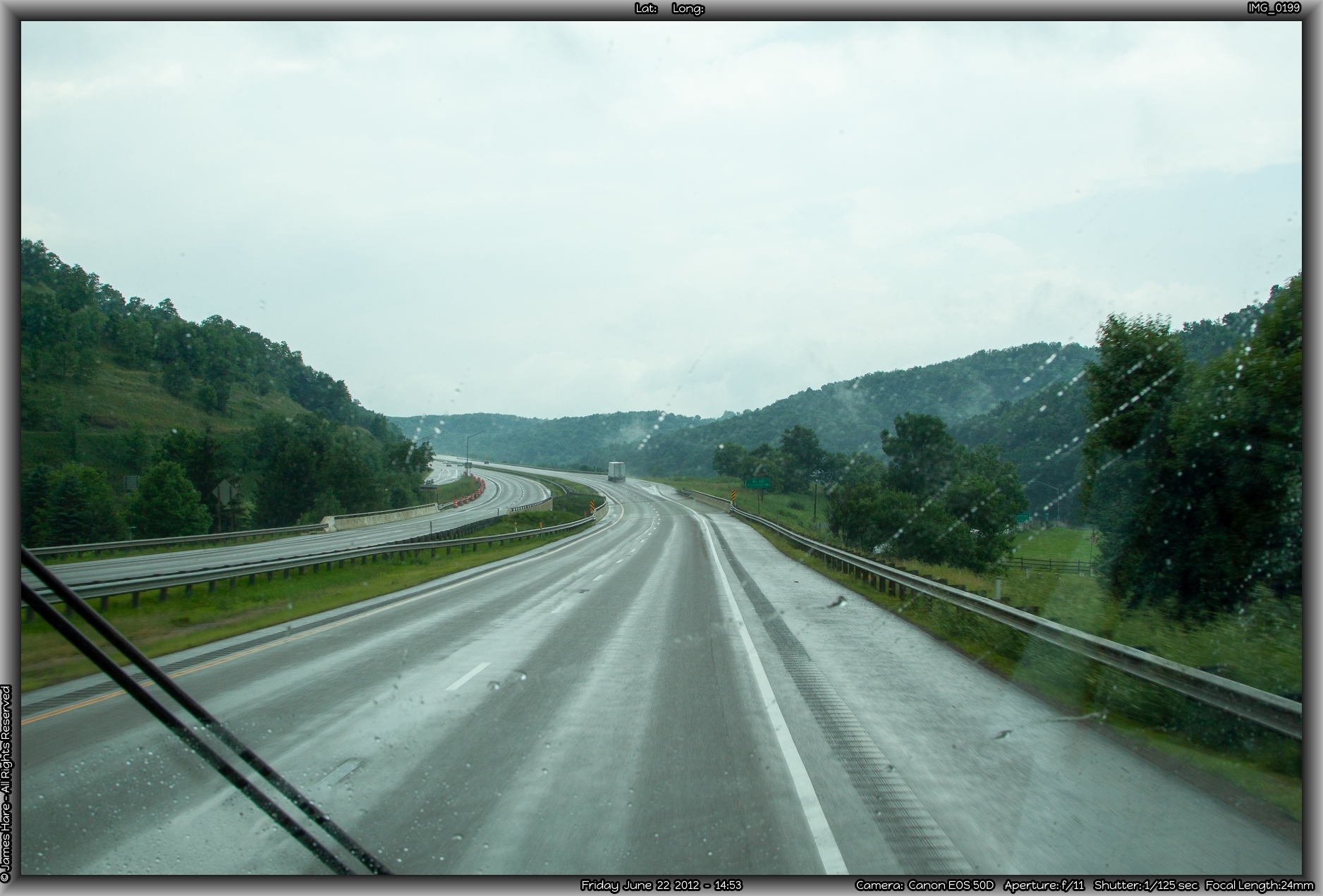
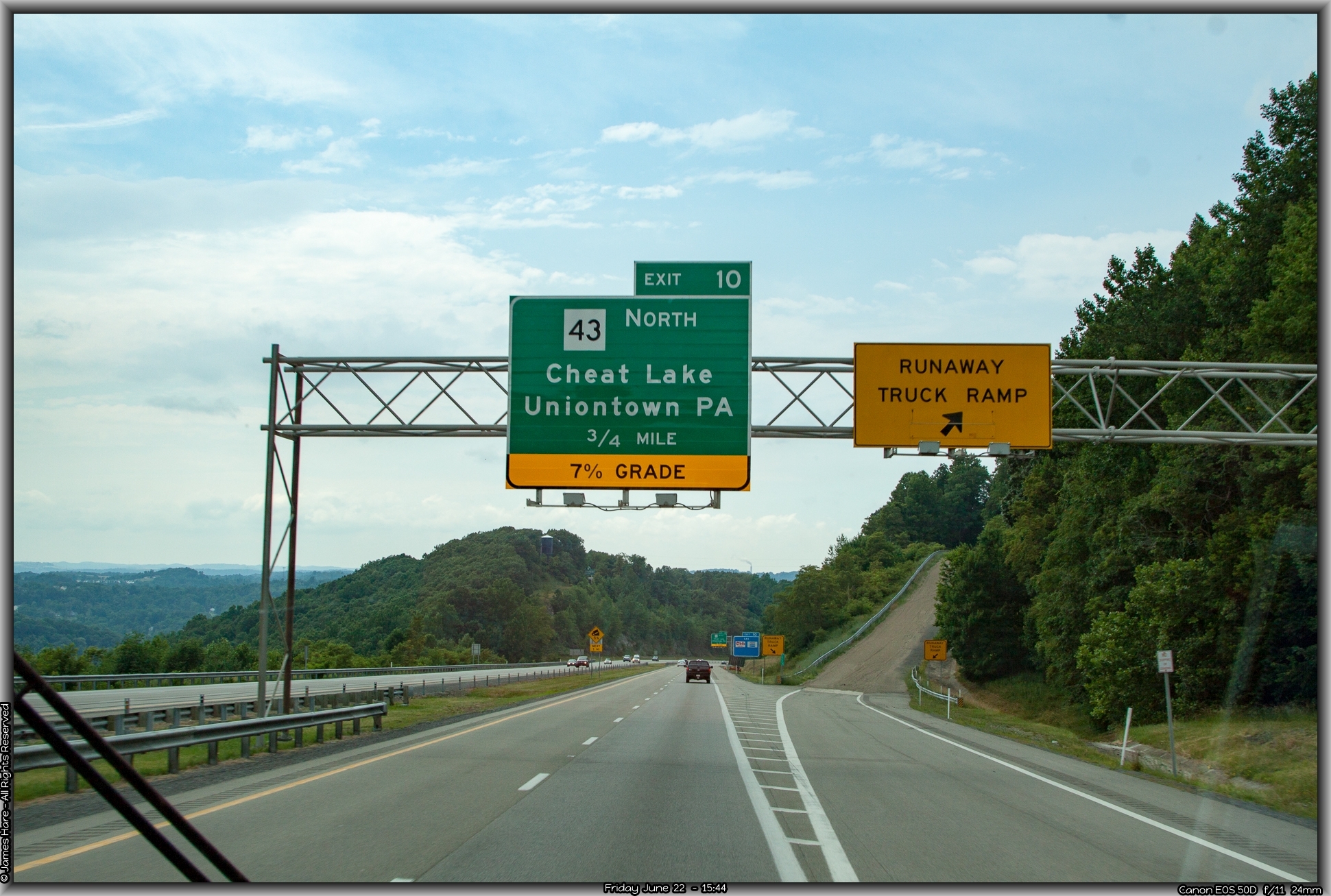
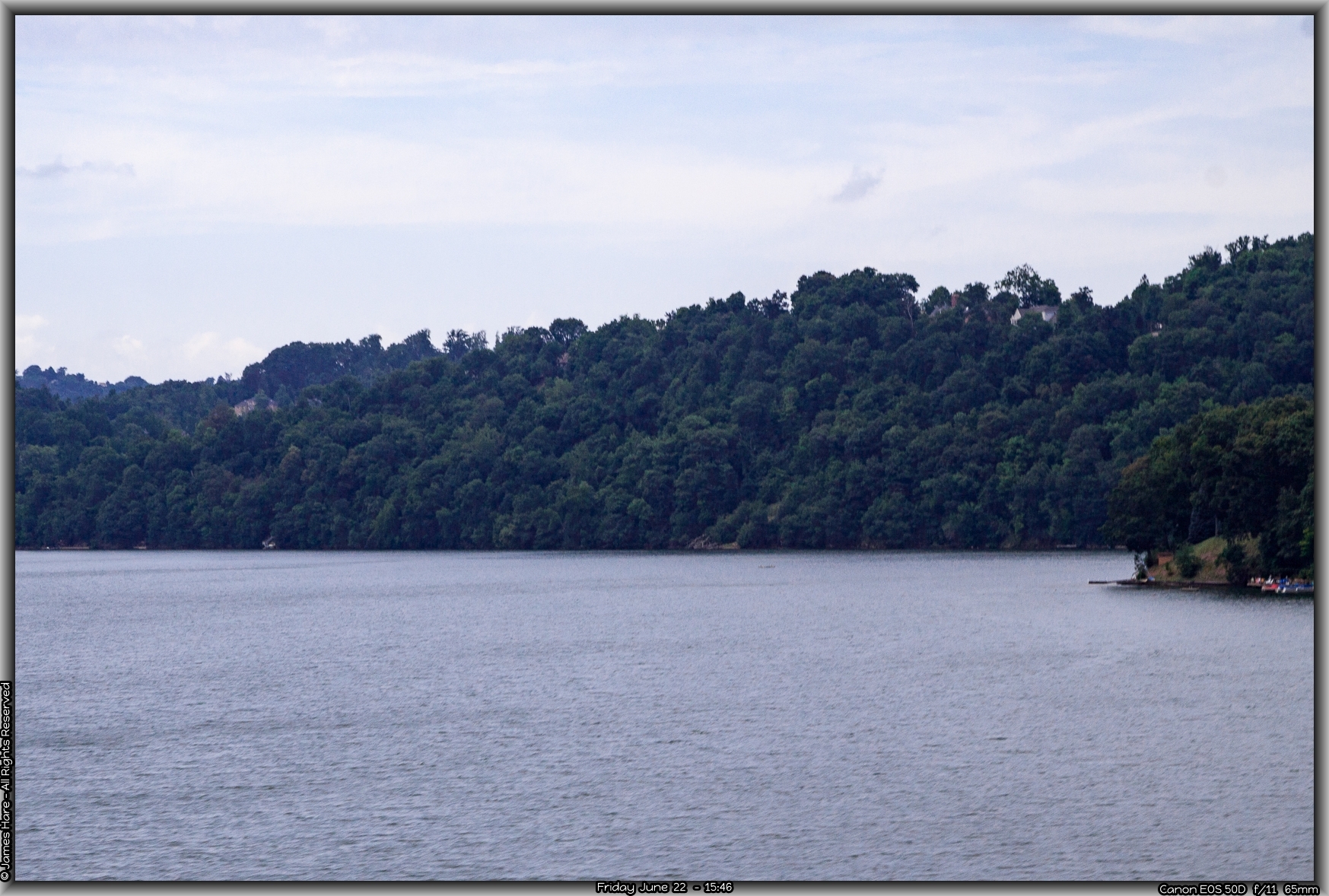
About ten miles into West Virginia, you come upon the Cheat Lake area. It wouldn’t have been all that memorable, but for the alarming descent down to the water level, and the sudden and abrupt left turn that the interstate took. Staying straight, and not paying attention, would have landed us in a very short downhill off ramp that ended quickly, and bore the scars of not a few inattentive drivers. Researching the local archives later on pointed out numerous tractor-trailer and fuel truck roll overs, which made being a volunteer fireman here a busy part-time occupation.
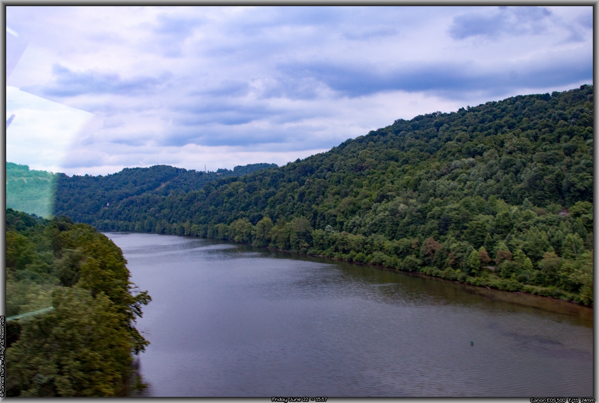
Up and down in West Virginia, and River #3 – The Monongahela
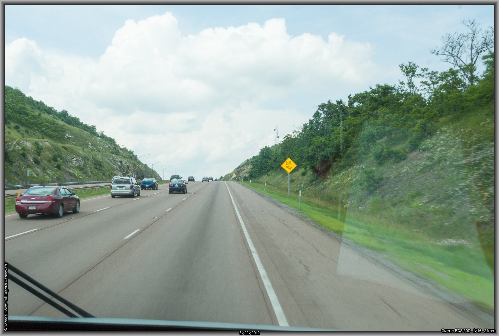
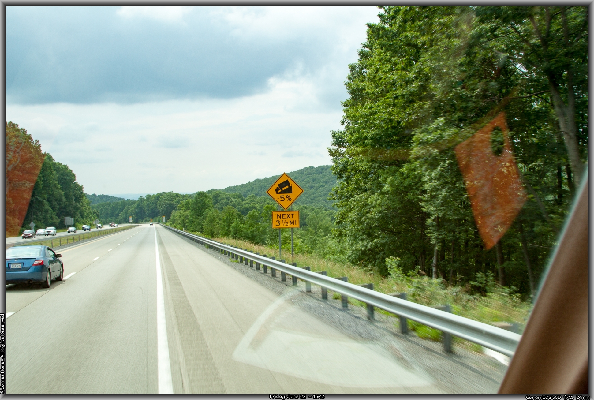
As Hal pointed out numerous times, “if West Virginia was flattened out, it would be the largest state in the country.” And I believed him. It was all rolling hills, curves, and bends, some of them quite steep. When you consider that a 6% grade is the design high limit throughout most of the US interstate highway system, and here we were still virtually along the Eastern Seaboard and already has gone up, down or around almost a half-dozen 7% grades, it made one appreciate the road building even more. There are more 7% grades on interstates EAST of the Mississippi, than there are out west. The big difference of course is not the grade itself, but how LONG of a grade there is – these 6% and 7% slopes in the east were maybe a mile, maybe two, in length overall – out west, they went on for miles and miles. When you’ve climbed a 6% grade that’s 15 miles long, at 22 miles an hour, you can definitely tell the difference. Here in the east, you can almost get a good enough head of steam going DOWN one ridge to get up the next. Out west, you don’t want to do that – You’d generate a little too much velocity after about seven or eight miles of downhill…
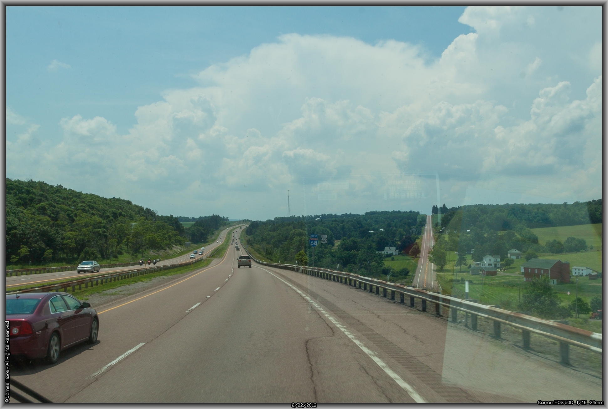
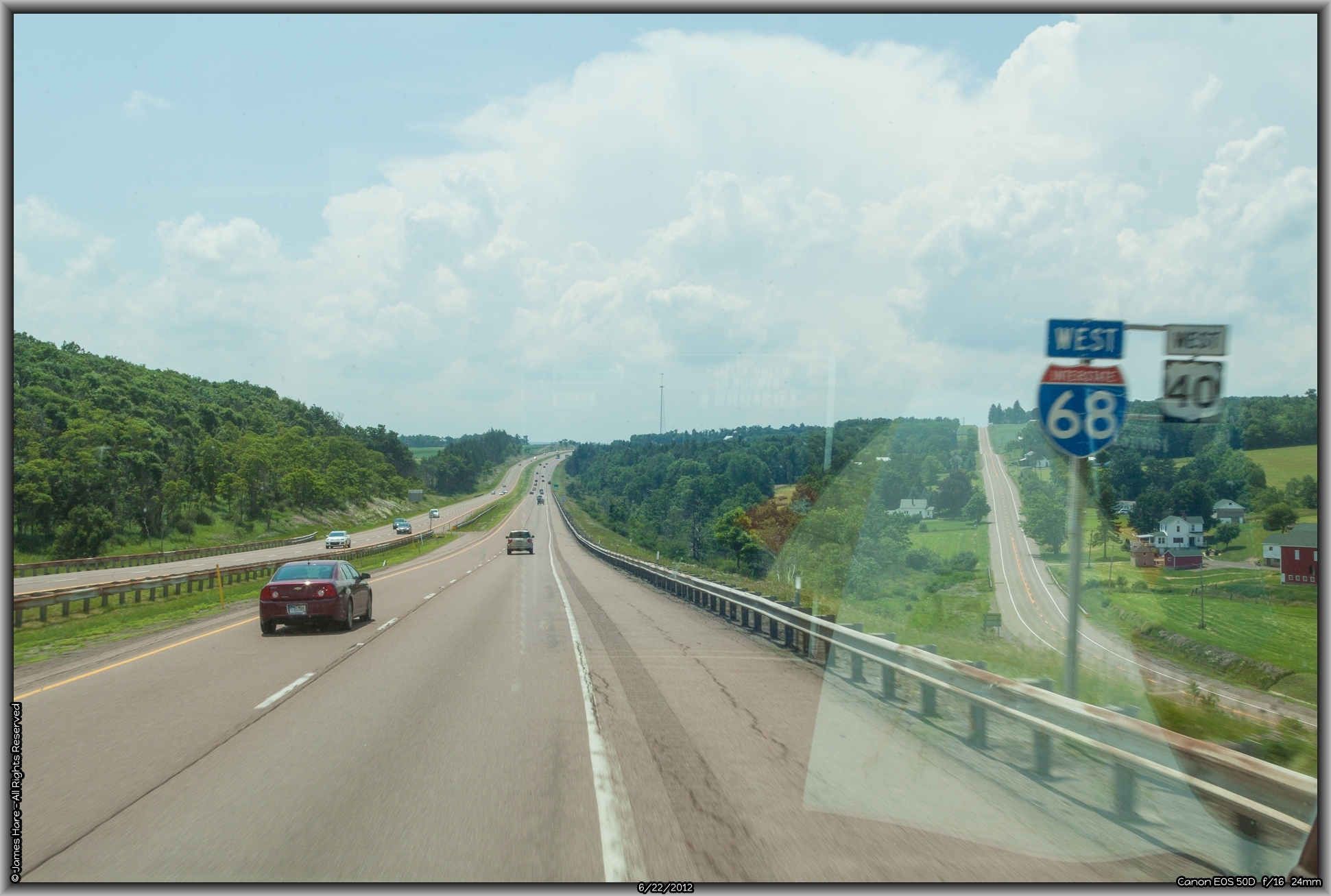
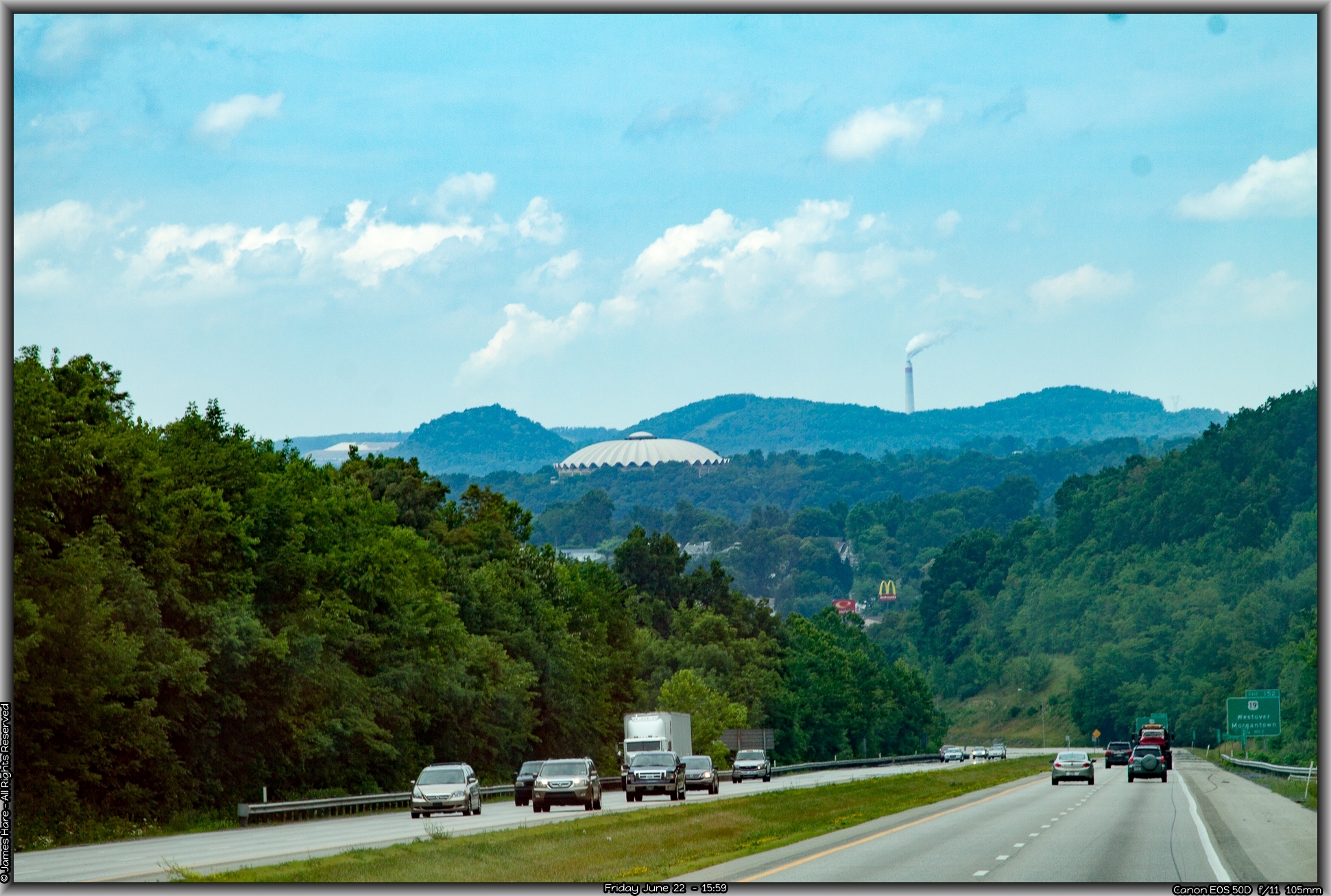
I-68 skirts Morgantown, WV to the south, and just as you leave the town proper, our northern route into Pennsylvania showed up. Interstate 79 would take us up into PA, where we planned to hook up with I-70 again. We swerved right, and in just a tick, crossed the Monongahela River.
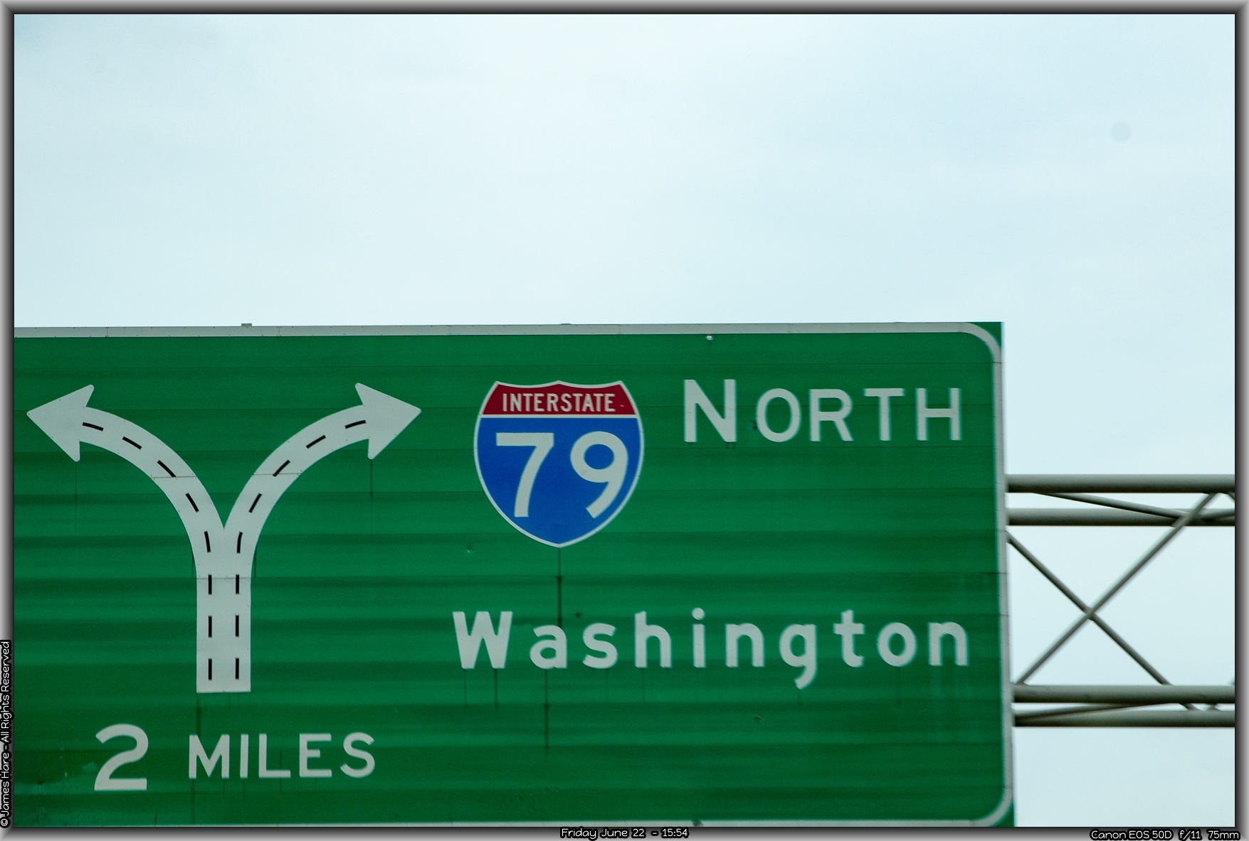
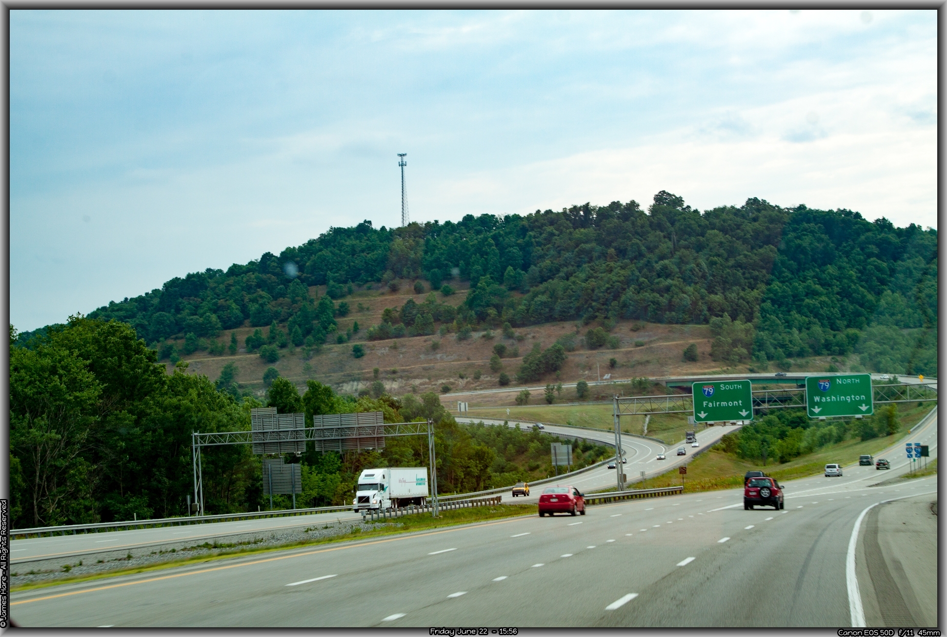
Pennsylvania – State #5
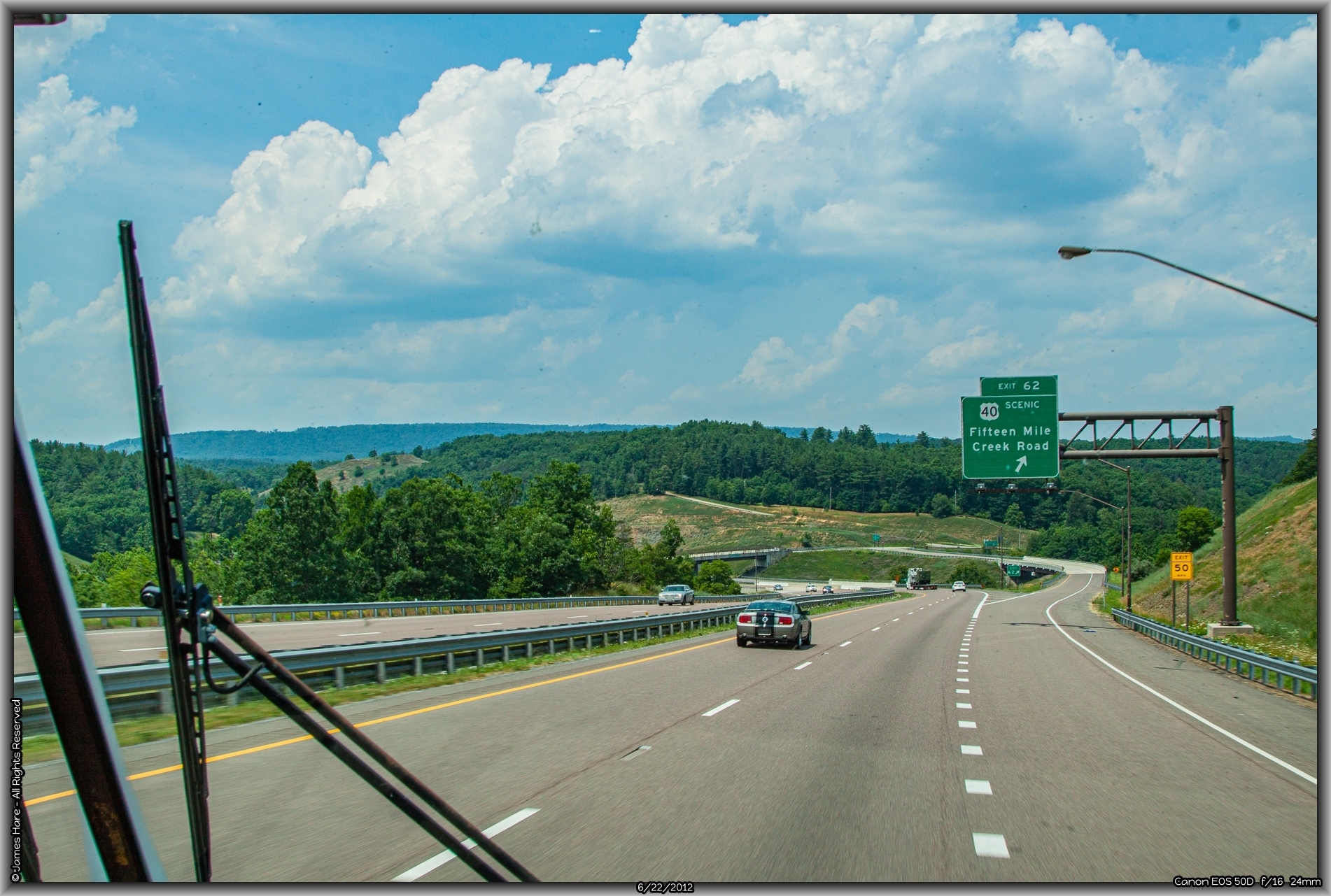
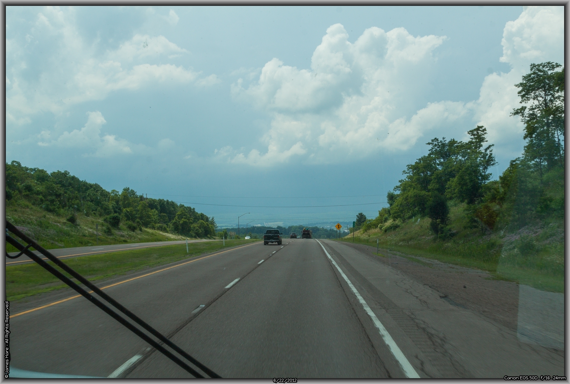
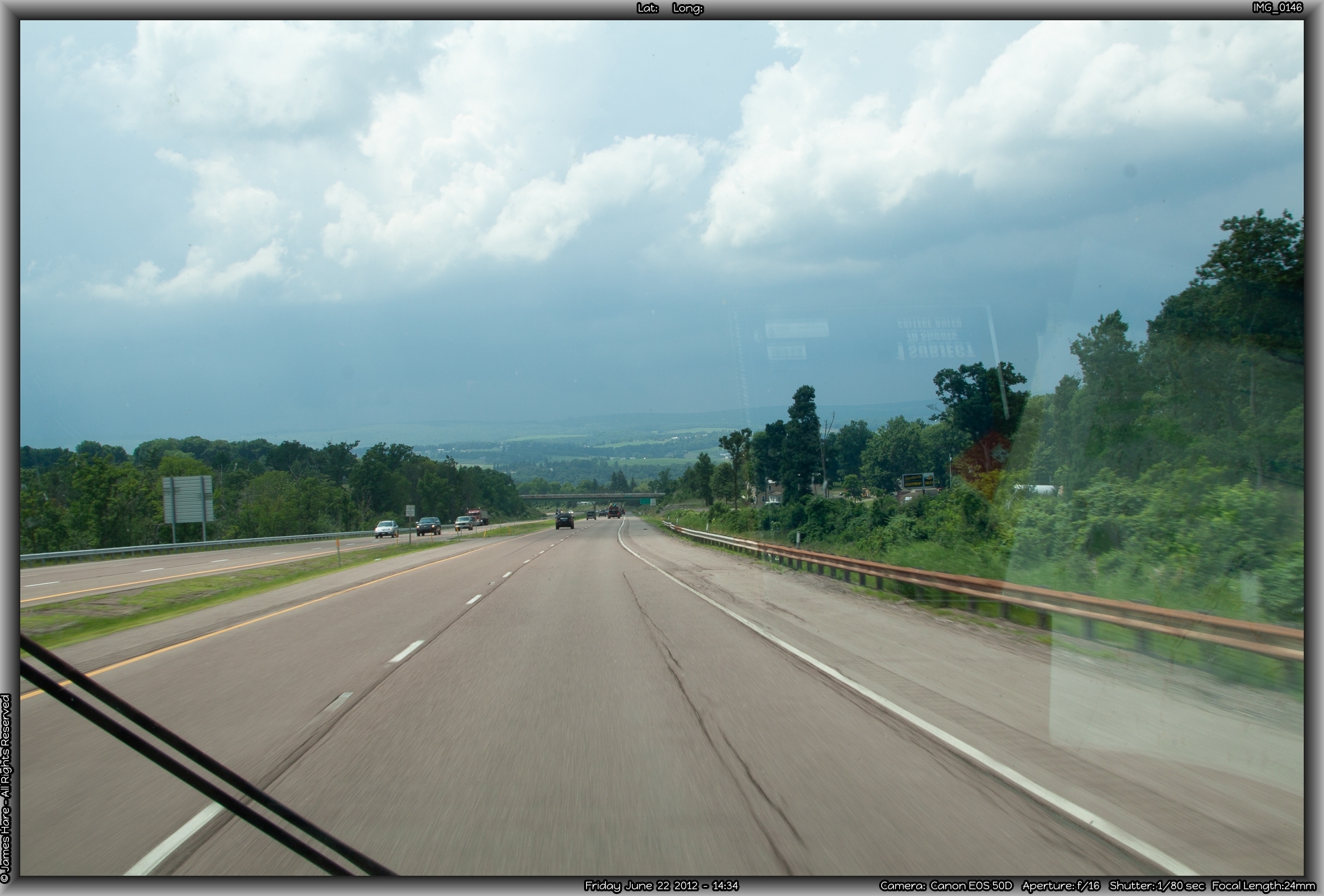
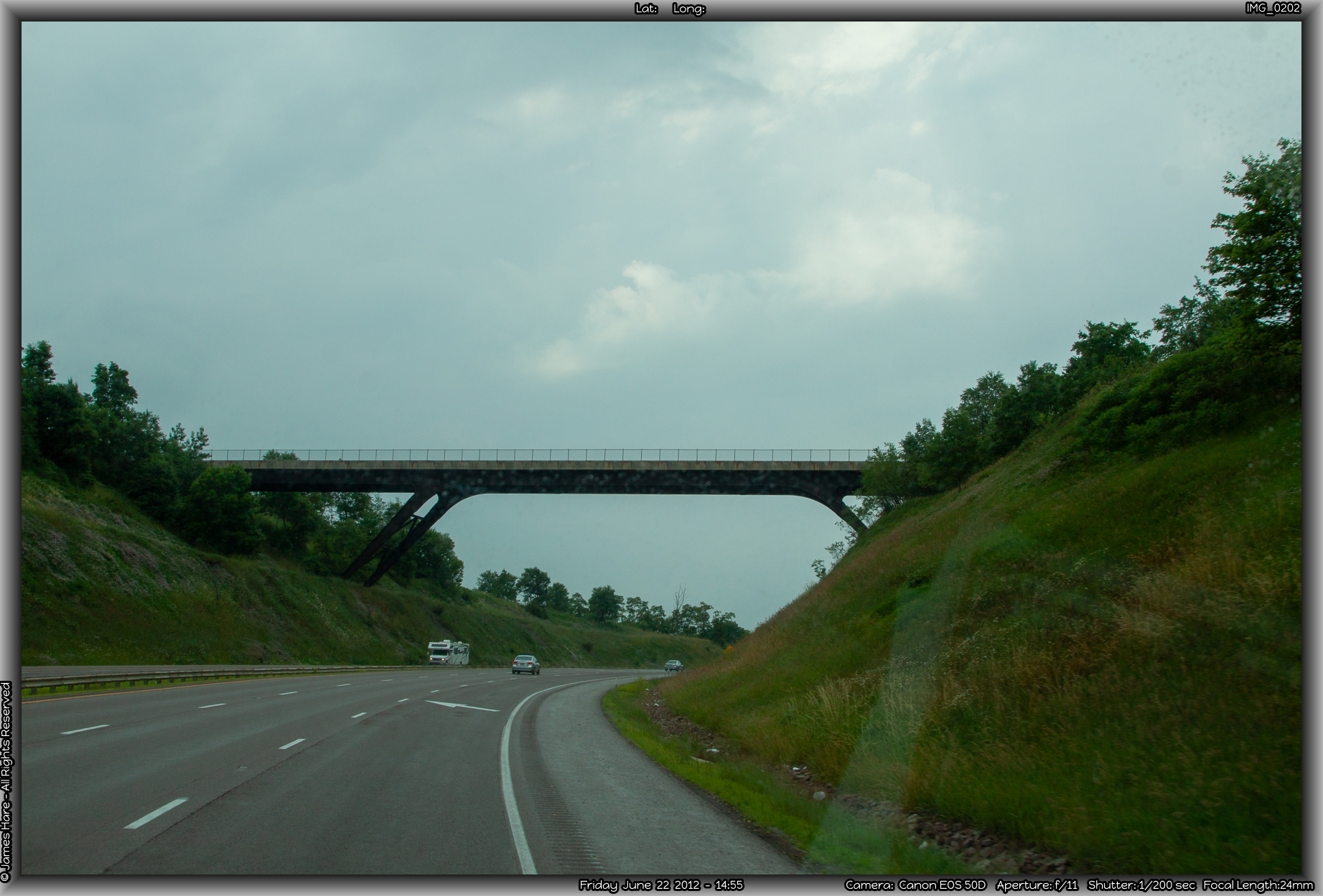
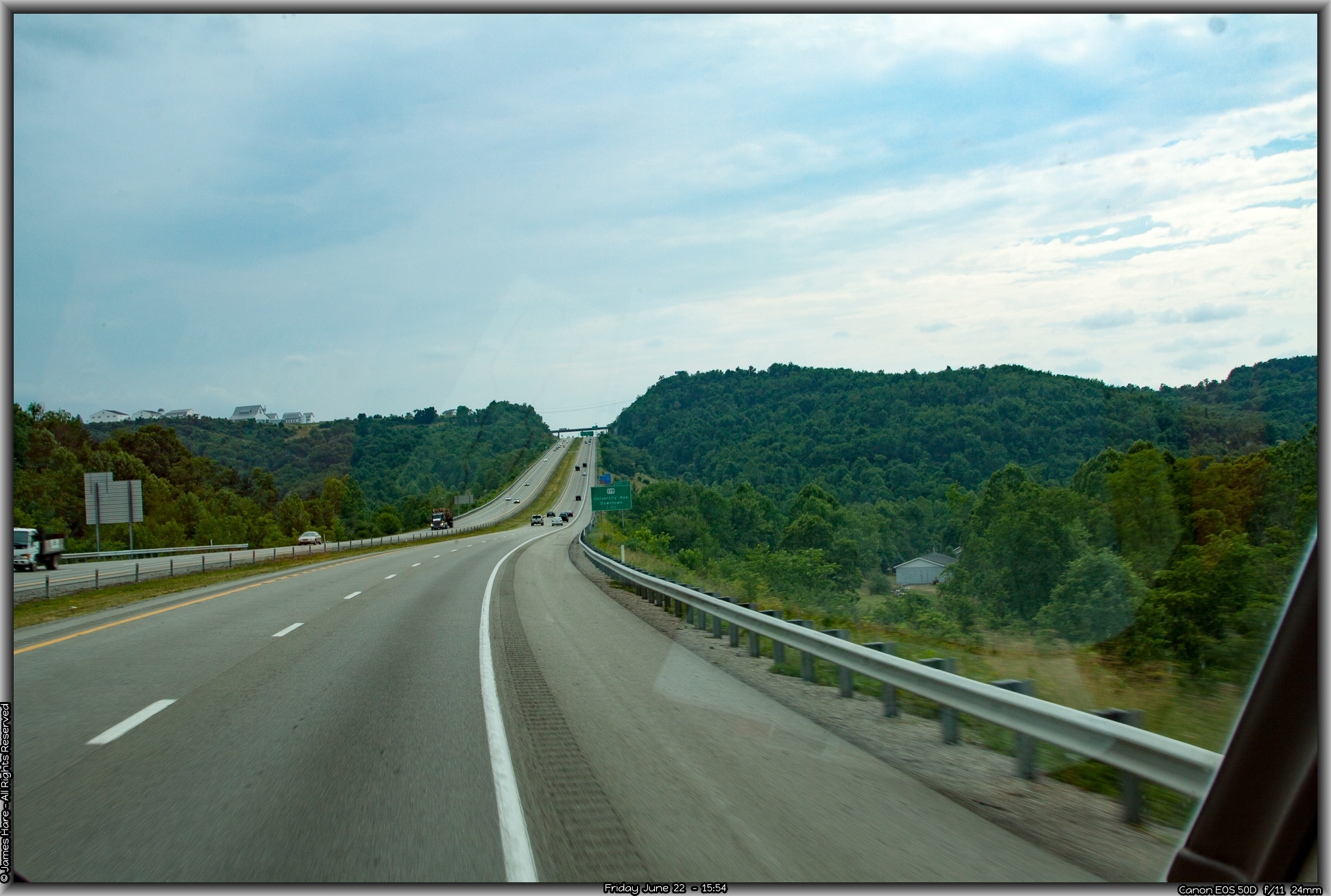
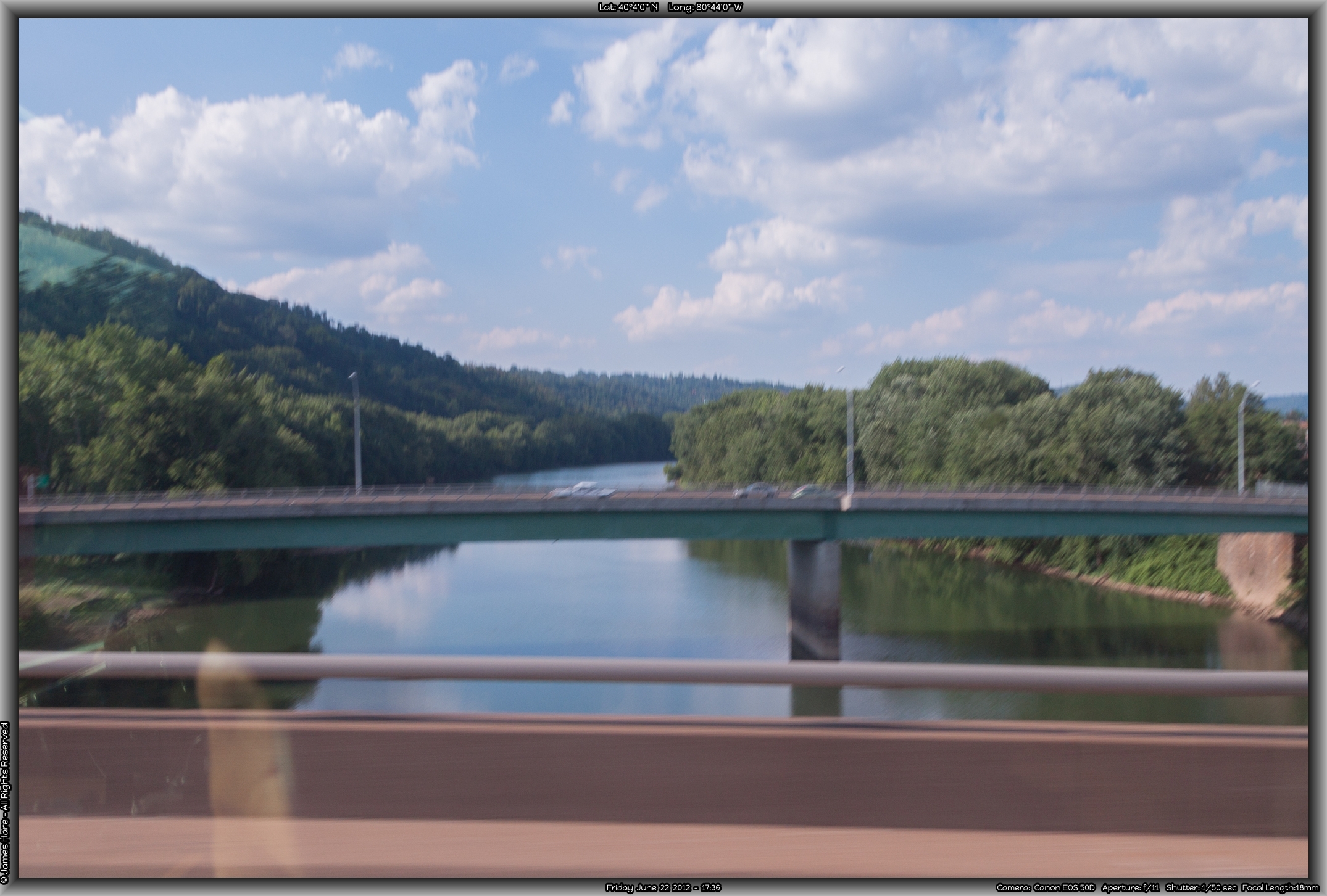
Going north into Pennsylvania wasn’t too much different than going west across Maryland, but for the fact that we were now traversing the ridges along their top and sides, rather than going up and over them. This led to somewhat different scenery, and I snapped a couple of pix out the window as Hal drove. I have to make a note to pull off the window tinting plastic along the passenger window before the next trip – the eye couldn’t tell, but the blue really played havoc with the camera’s sensor recording bits and most of the pictures I took out the side window were garishly miscolored. It felt somewhat odd to be taking tourist pictures of Pennsylvania, since I was born there and spend a huge portion of my life there, but this was western PA, and I was used to eastern PA. Not a huge difference, just a little bit hillier.
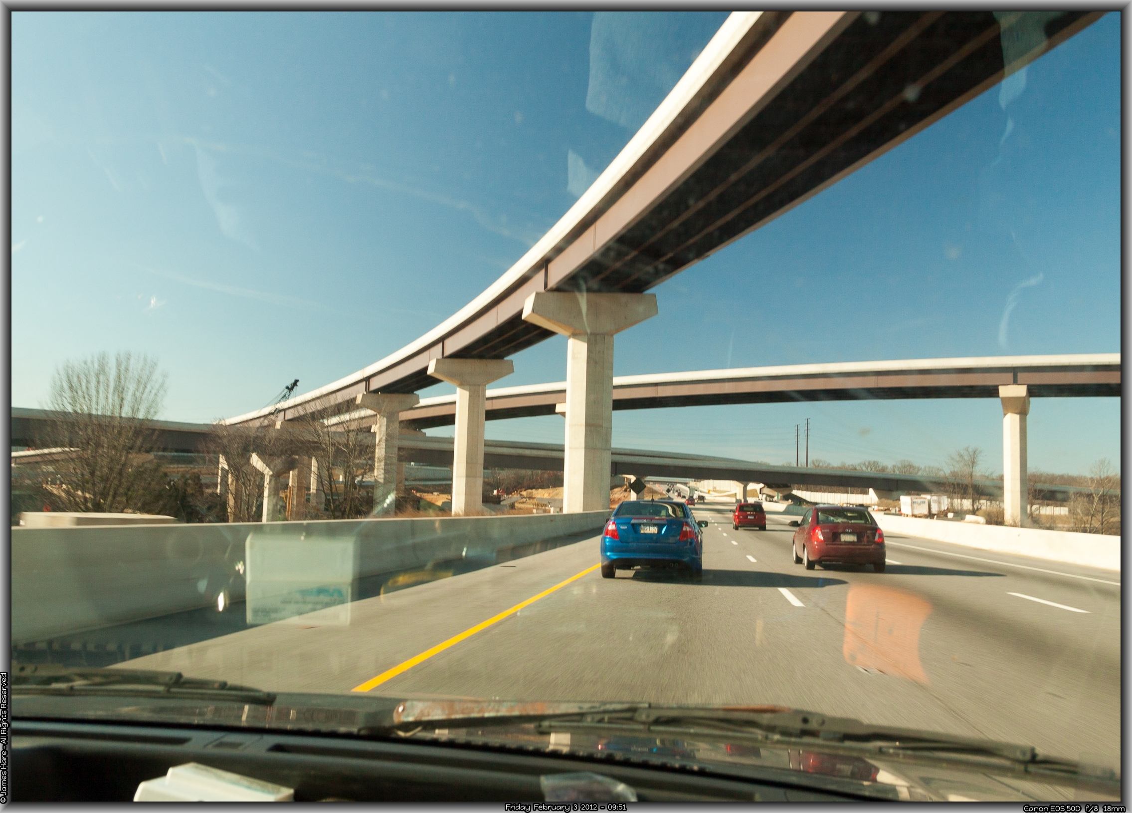
We hit Washington, PA about 4:30 in the afternoon on a Friday. Perfect timing This is an area where about seven different interstates, the PA turnpike, and a couple dozen local and state roads all come together as if this part of backwoods Pennsylvania is some sort of world-wide traffic hub. And of course, it’s constantly under construction.
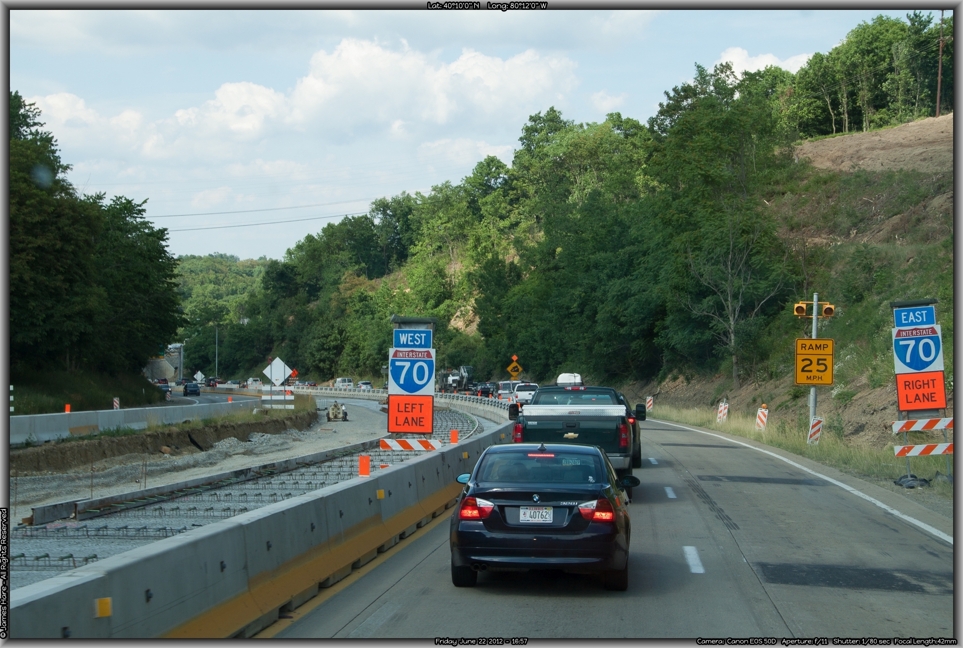
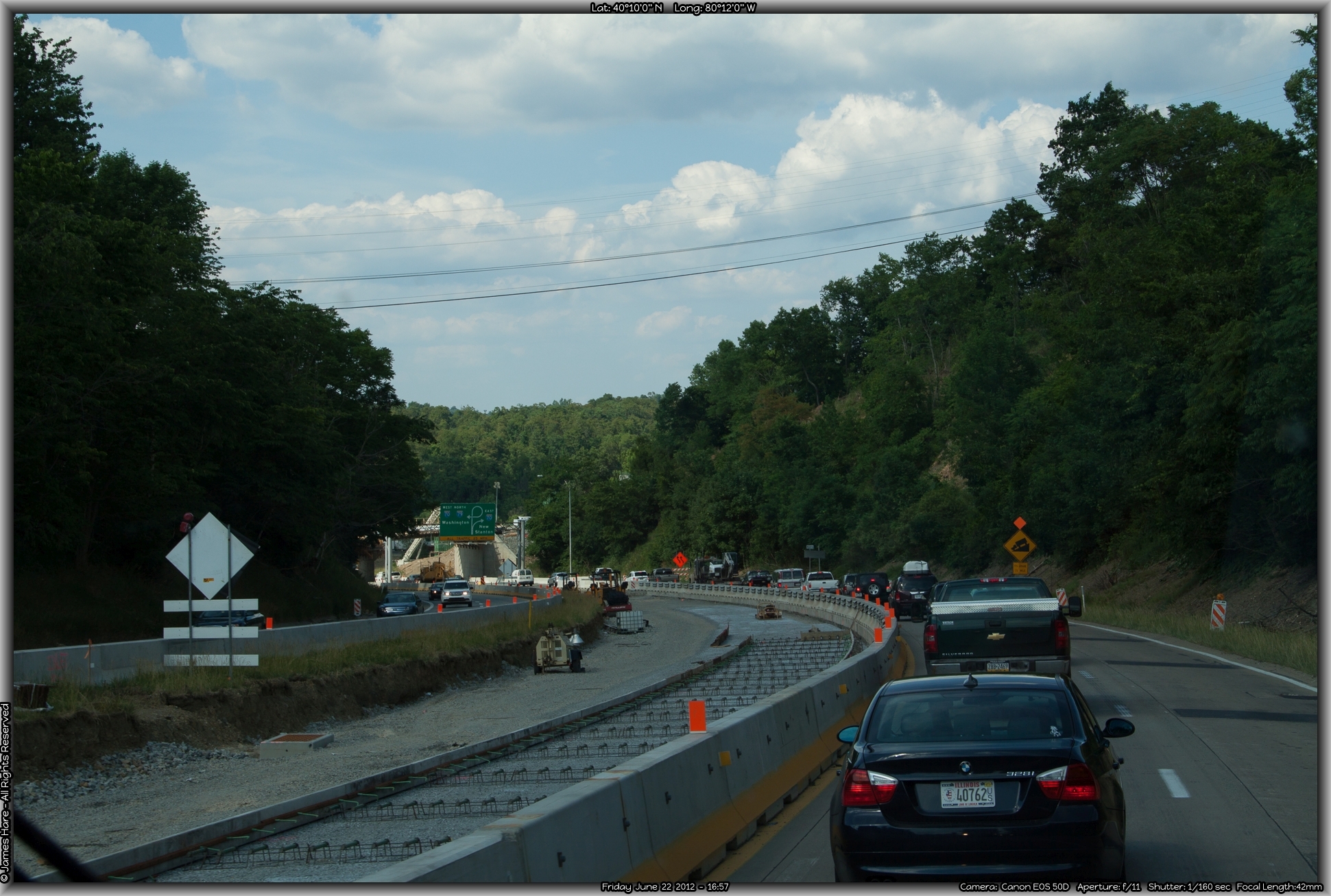
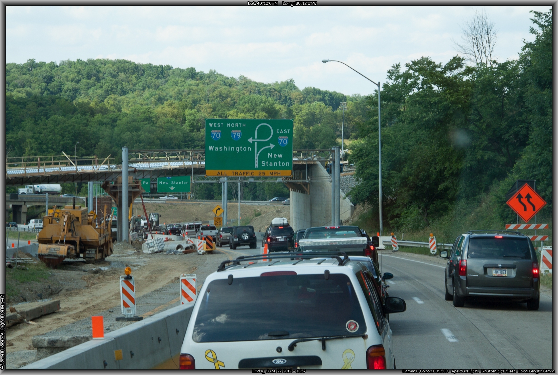
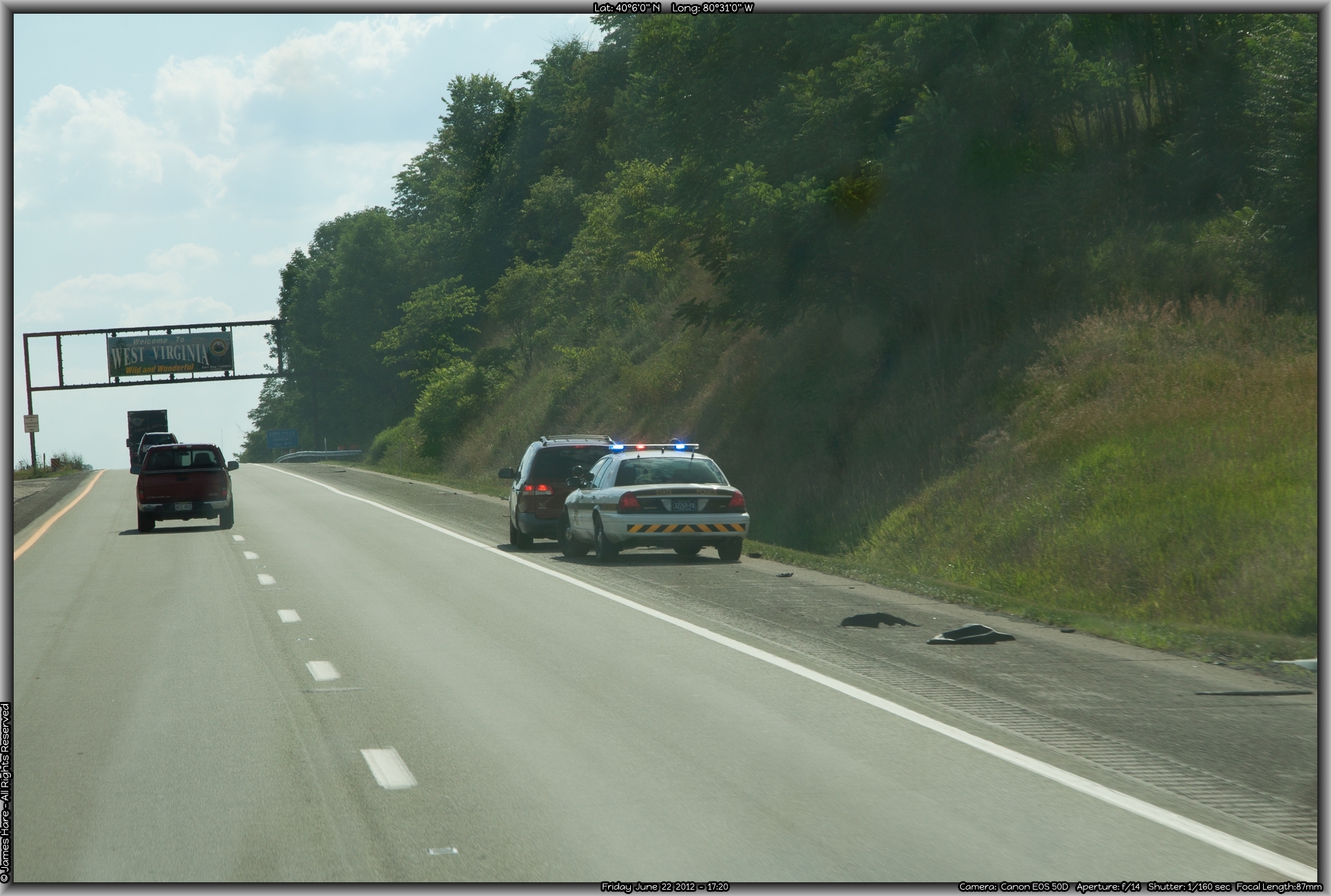
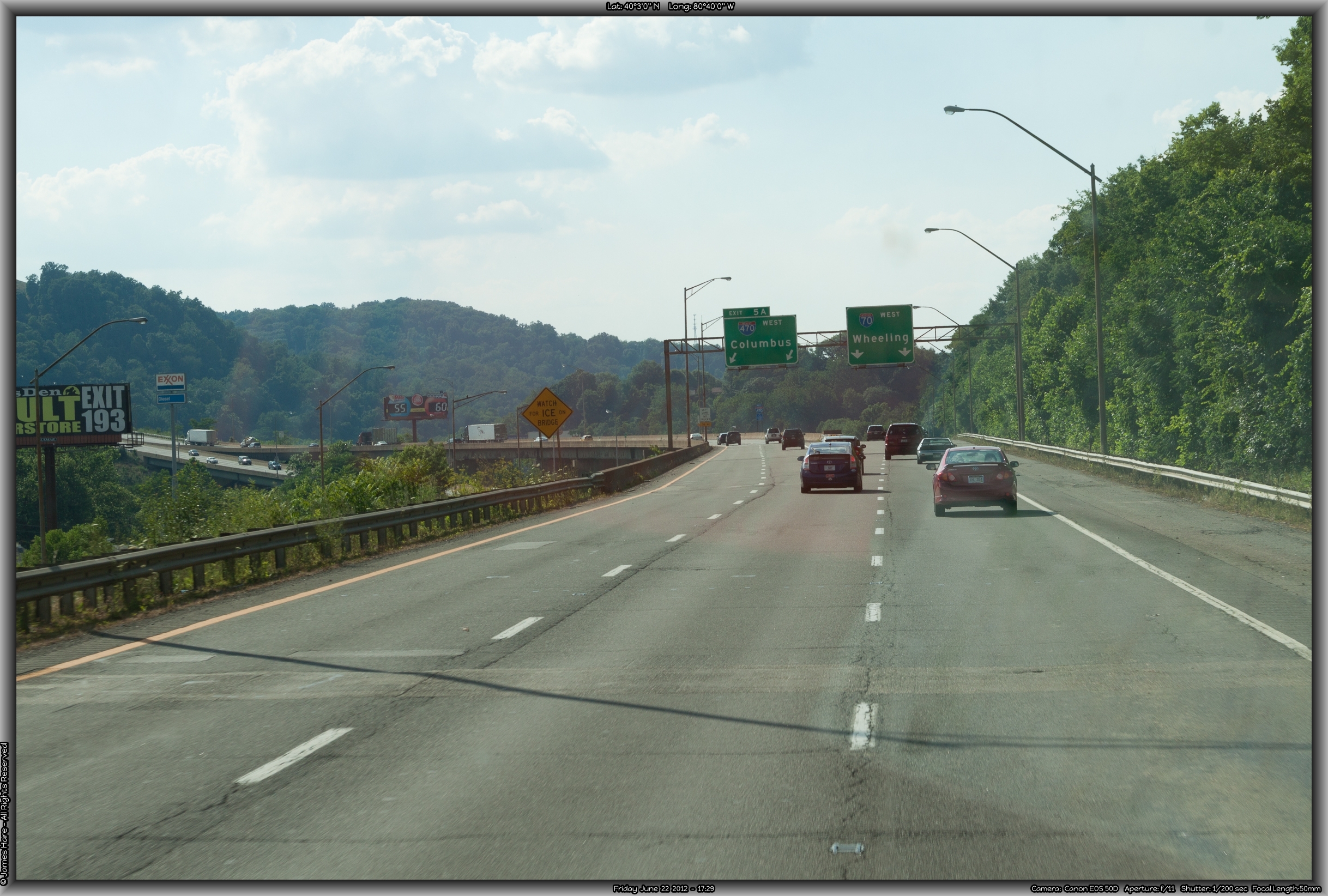
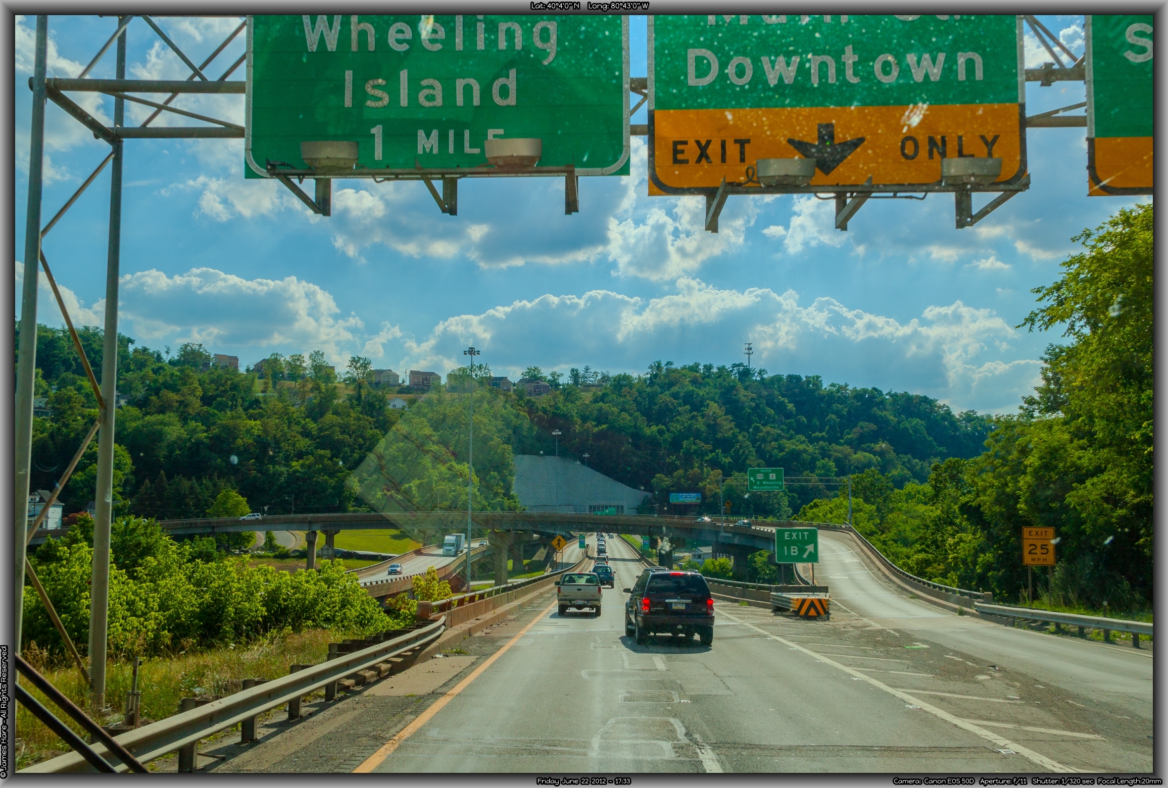
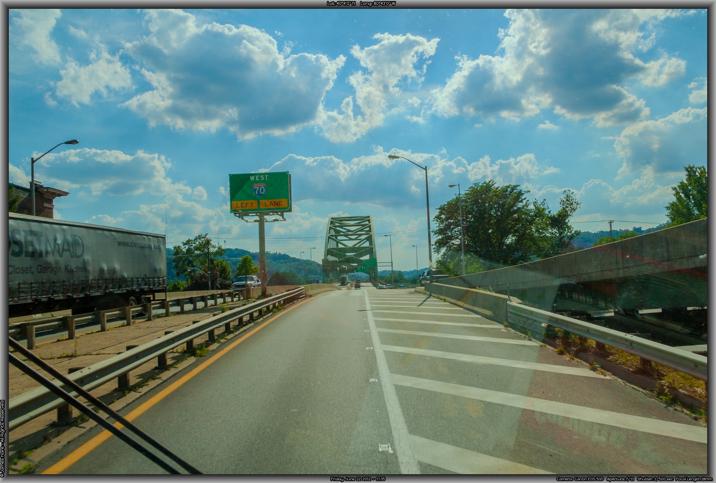
Sooner or later, though, we made our 270-degree turn to the west, merged on to I-70 for the second time that day, and proceeded apace, heading towards the narrow north-south panhandle of West Virginia, and the border crossing at Wheeling. I will always remember “Wheeling, West Virginia” because as a youngster I had a book called “The Child’s Geography of the World” or some such, and there was a picture in it of a kid with a wheelbarrow, pushing a big outlined state of West Virginia, with a caption that read “Billy has a hard job WHEELING WEST VIRGINIA!” Just as we approached the border sign, I noticed a state cop had stopped someone. I wonder if they sat in their car and thought, “Damn. Another hundred yards and I’d have gotten away…”
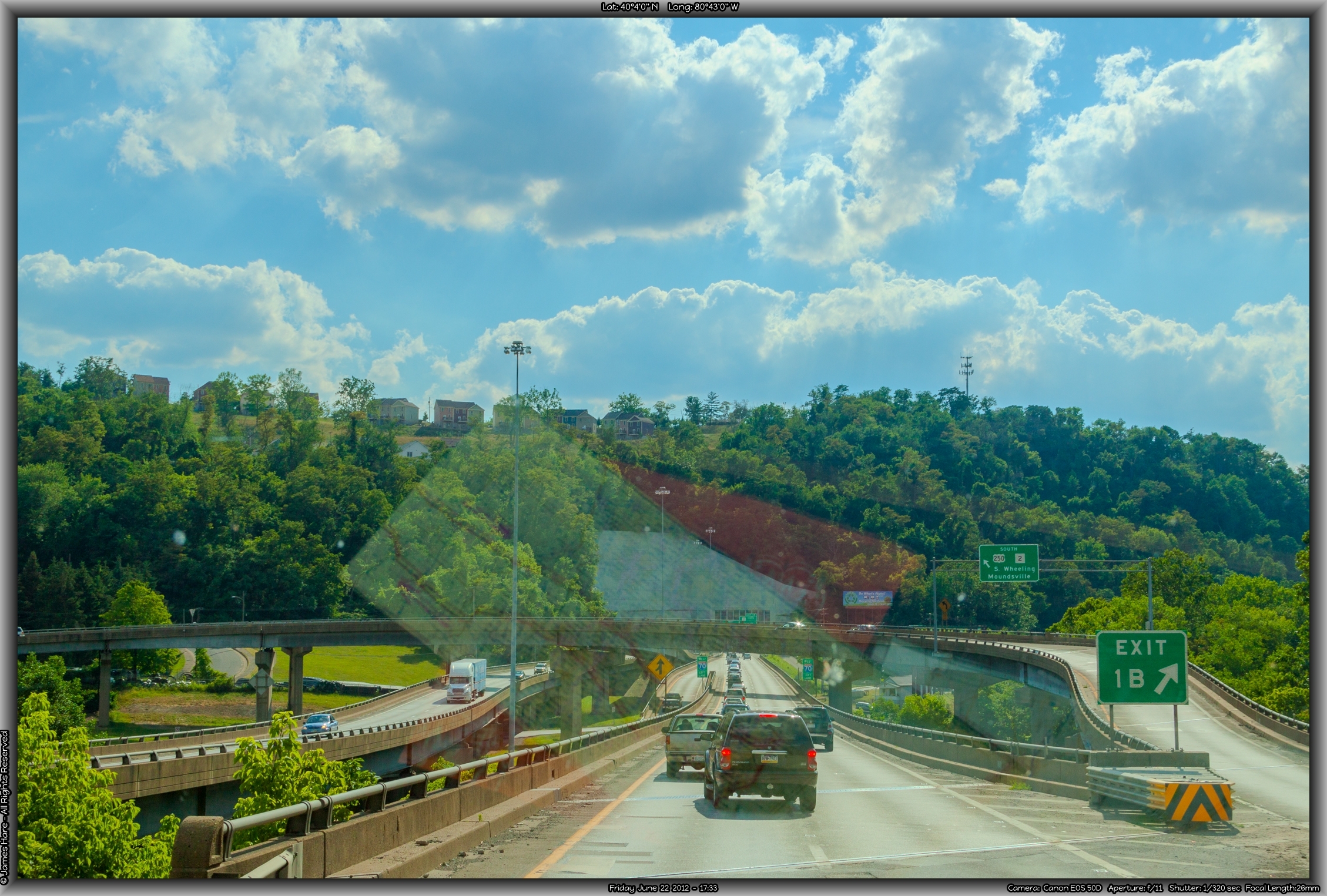
Back into West Virginy – State #4 (b)
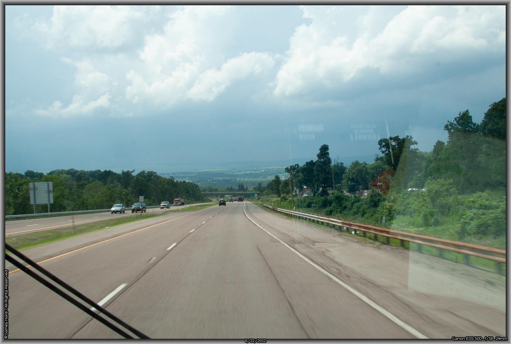
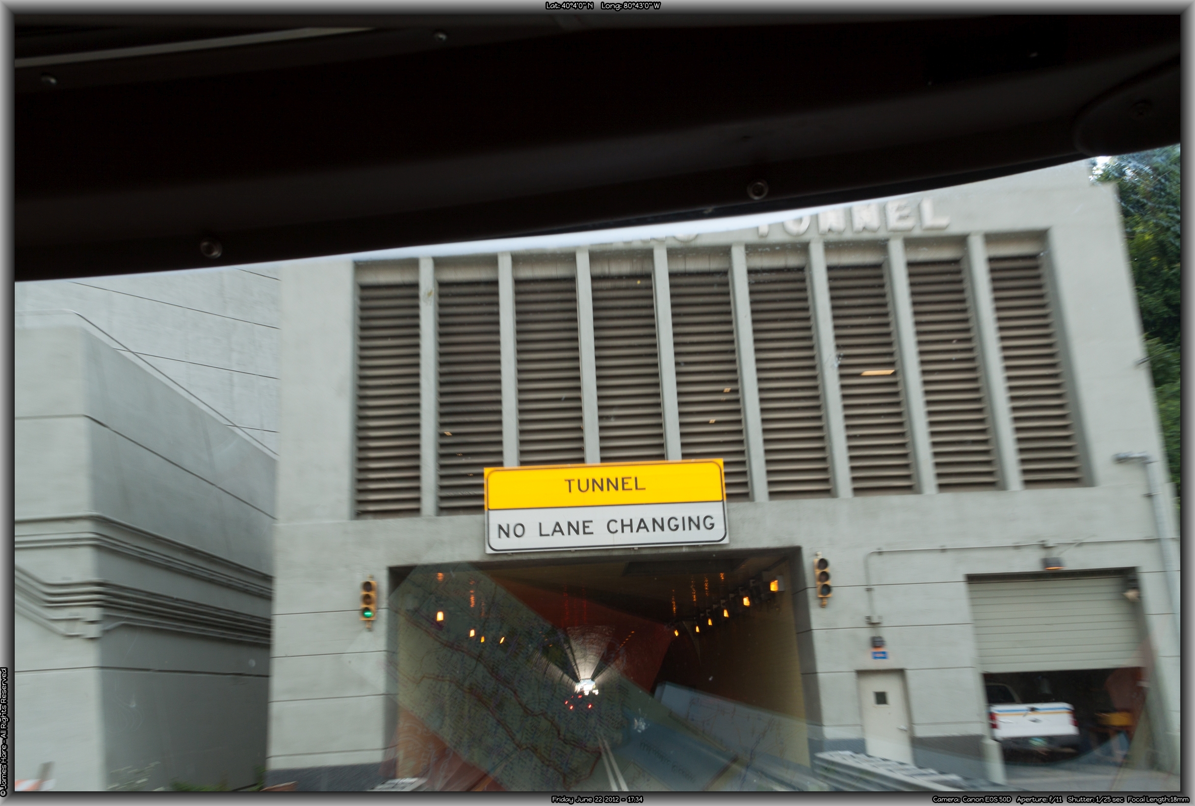
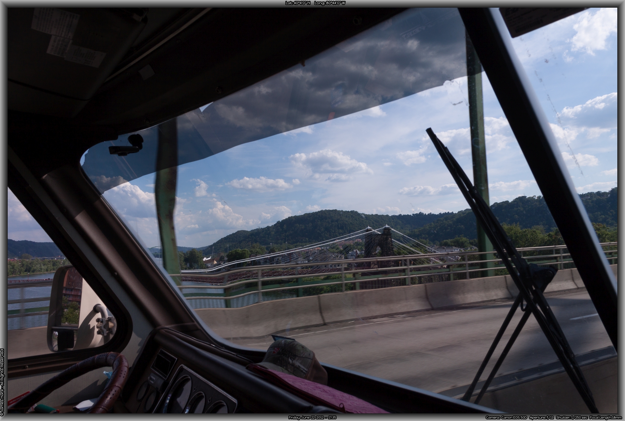
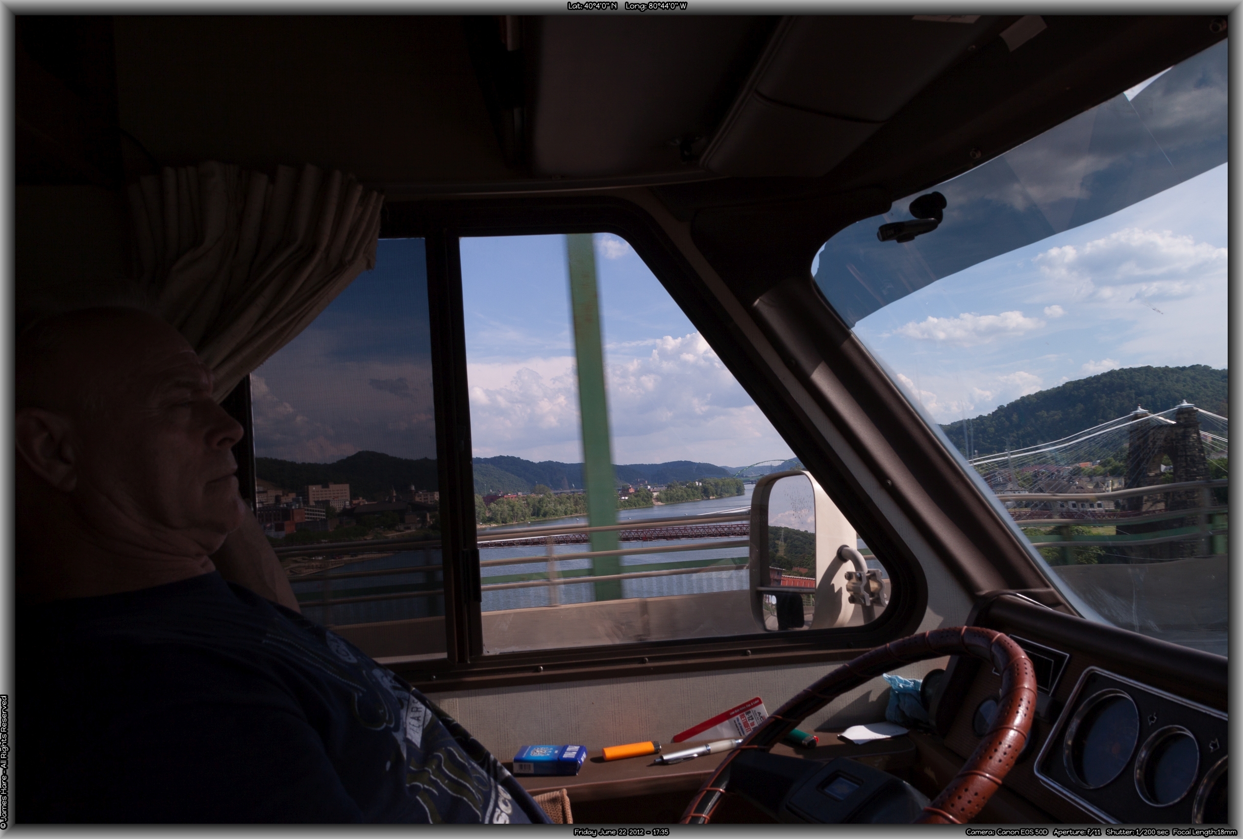
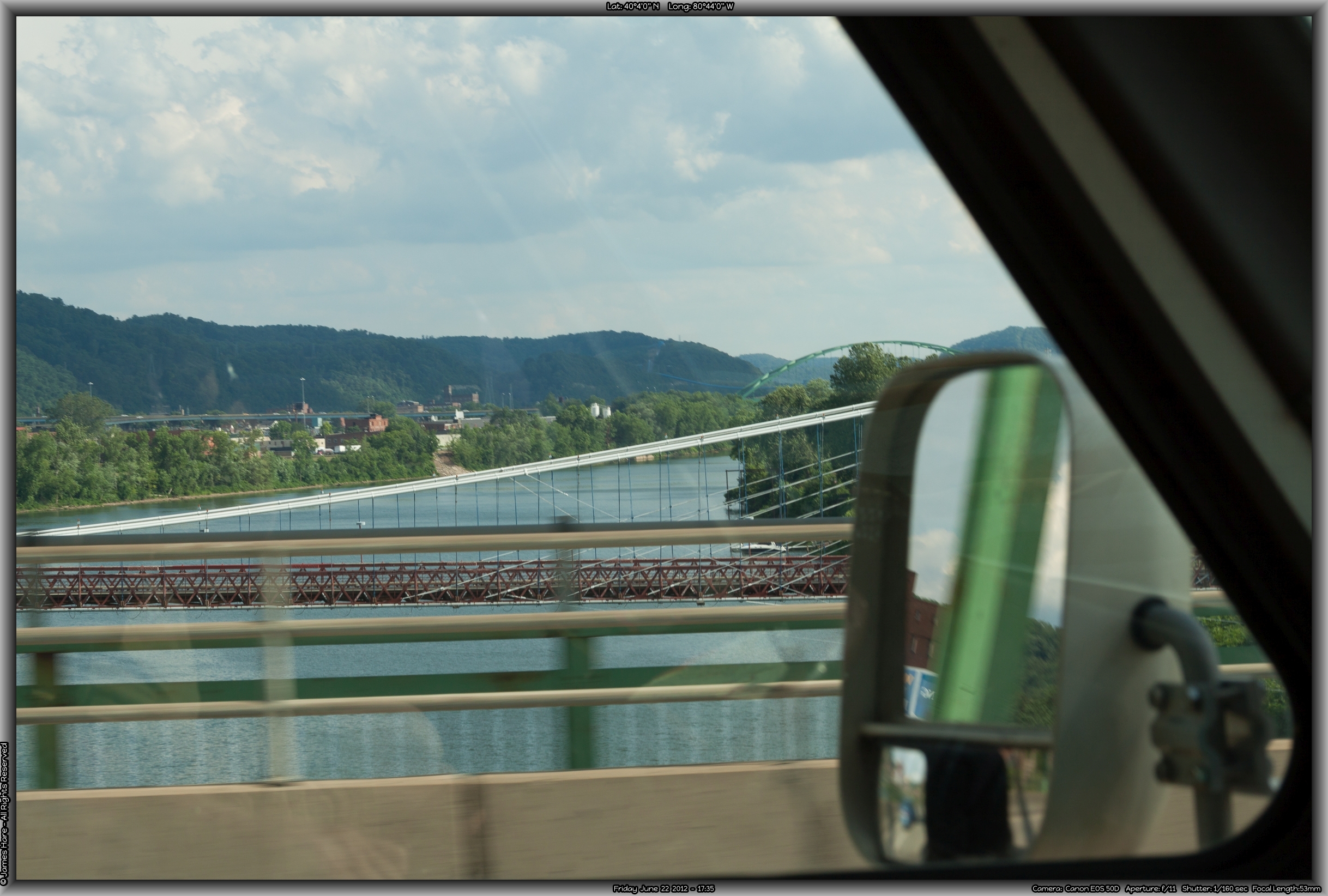
Once over the border, there’s not a whole hell of a lot of West Virginia before you come into Wheeling. There’s a spot where I-70 goes through a short tunnel before it comes out and crosses one of about 87 bridges across the Ohio here. Sorry about the reflections but there’s not much you can do when shooting through a windshield the size of a dinner table. The sky was full of big puffy clouds, and the atmosphere kept switching between bright blue sky and yellow sunlight, and cloudy grey coverage.
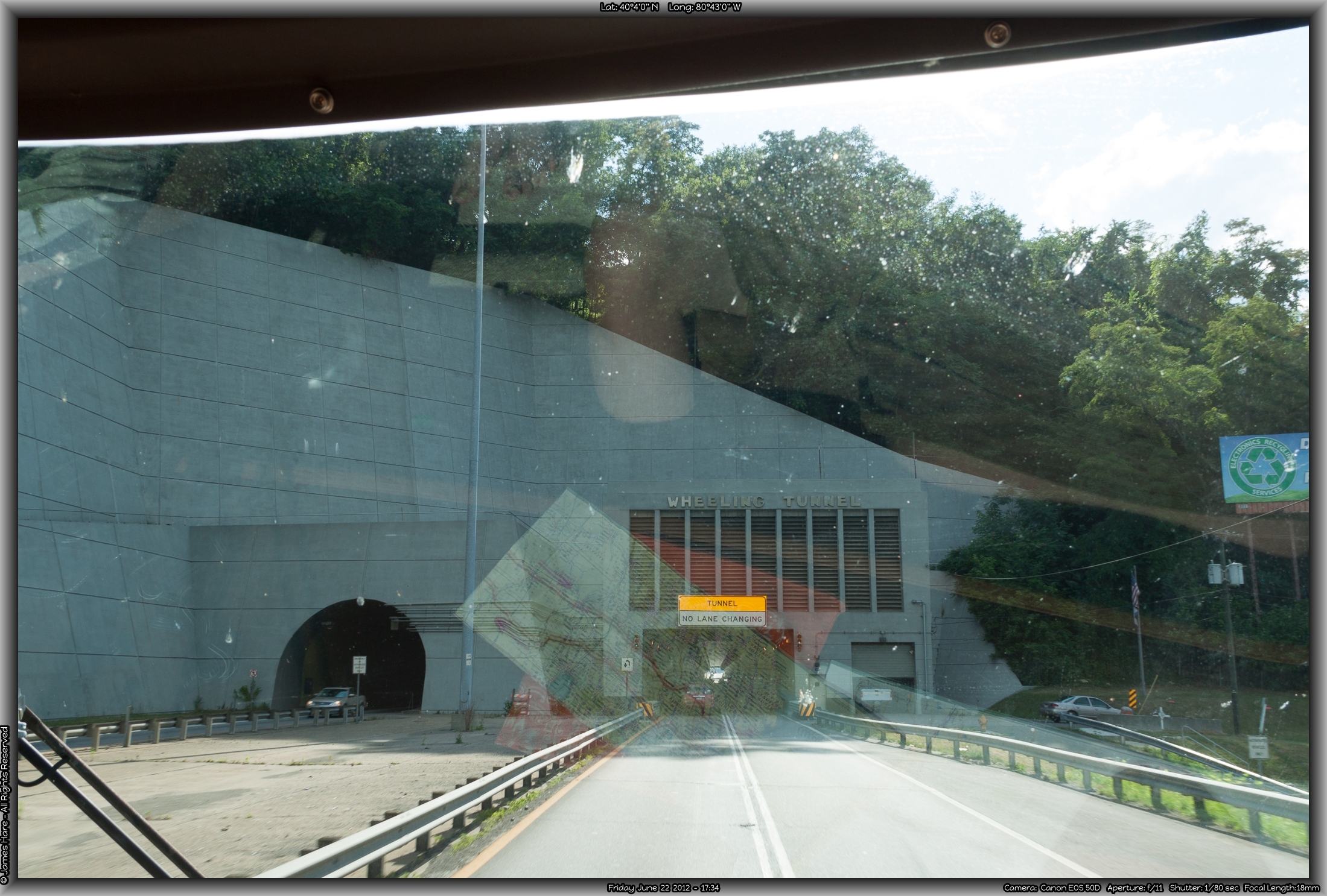
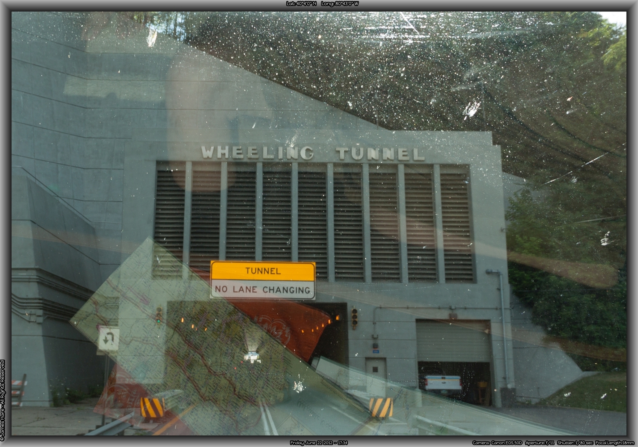
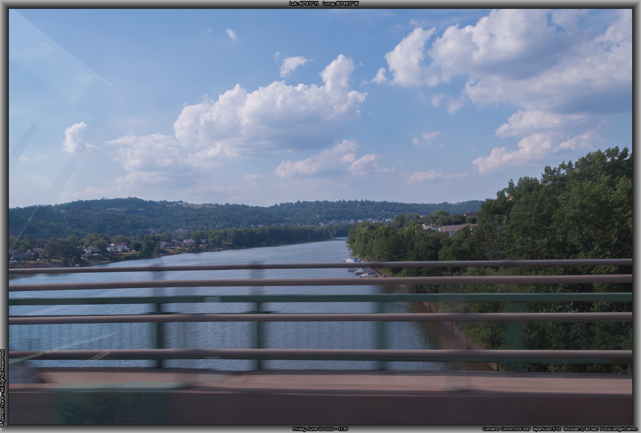
River #4 – The Ohio
The tunnel approach is short but fun. We expected to see Ohio on the other side… But they fooled us! We came out onto an island in the middle of the river, so there’s another bridge to cross over the Ohio before you GET to Ohio.
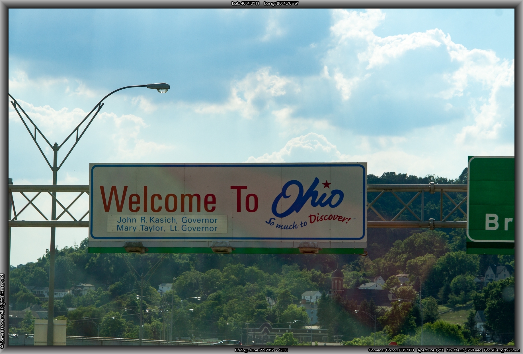
State #6 – Ohio
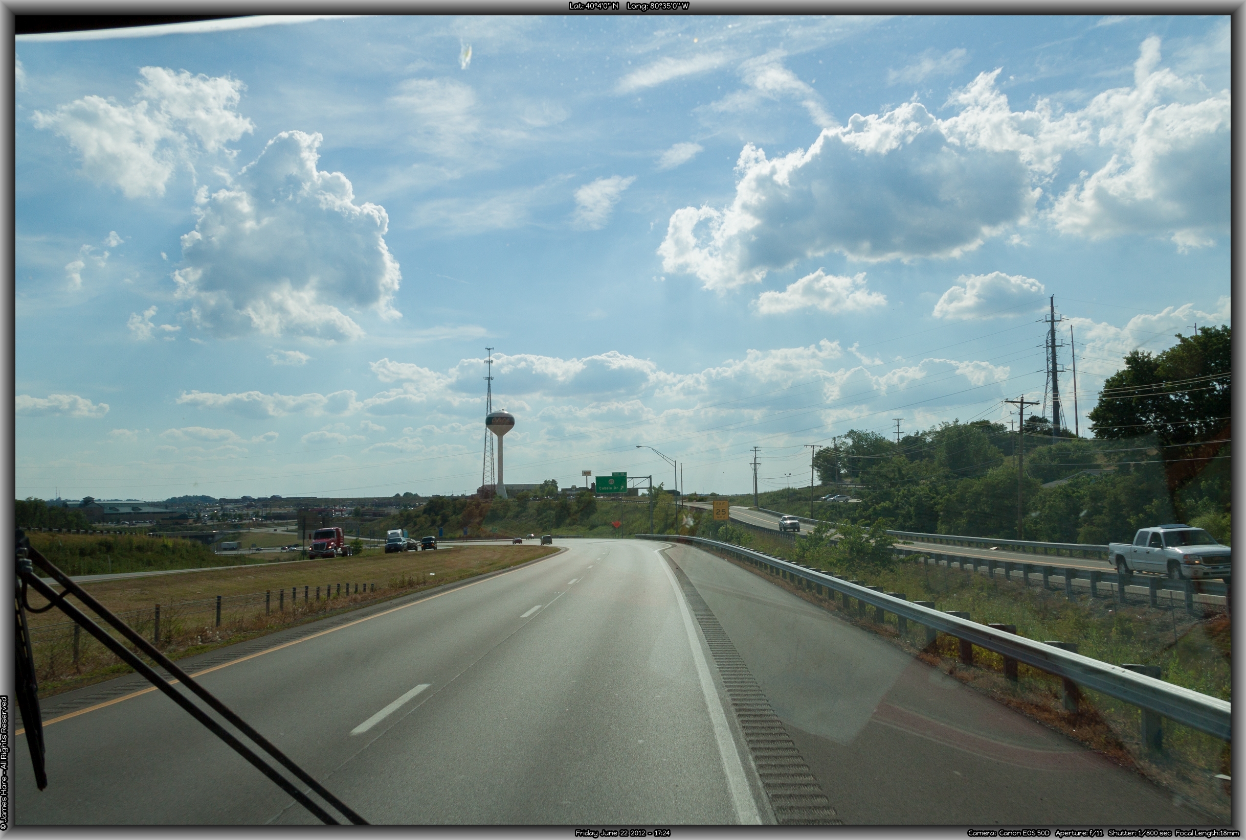
Once back over solid ground, we were in Ohio. It was our SIXTH border crossing of the day, and it was barely 6 PM. Very sunny in Ohio, as we seemed to have moved west past the line of damp thunderstormy weather we’d been in off and on since around Baltimore. Ohio was a continuation, geography-wise, of Pennsylvania, Maryland and West Virginia. They even tried to take a page out of Maryland’s book at one point along I-70, but it just didn’t work.
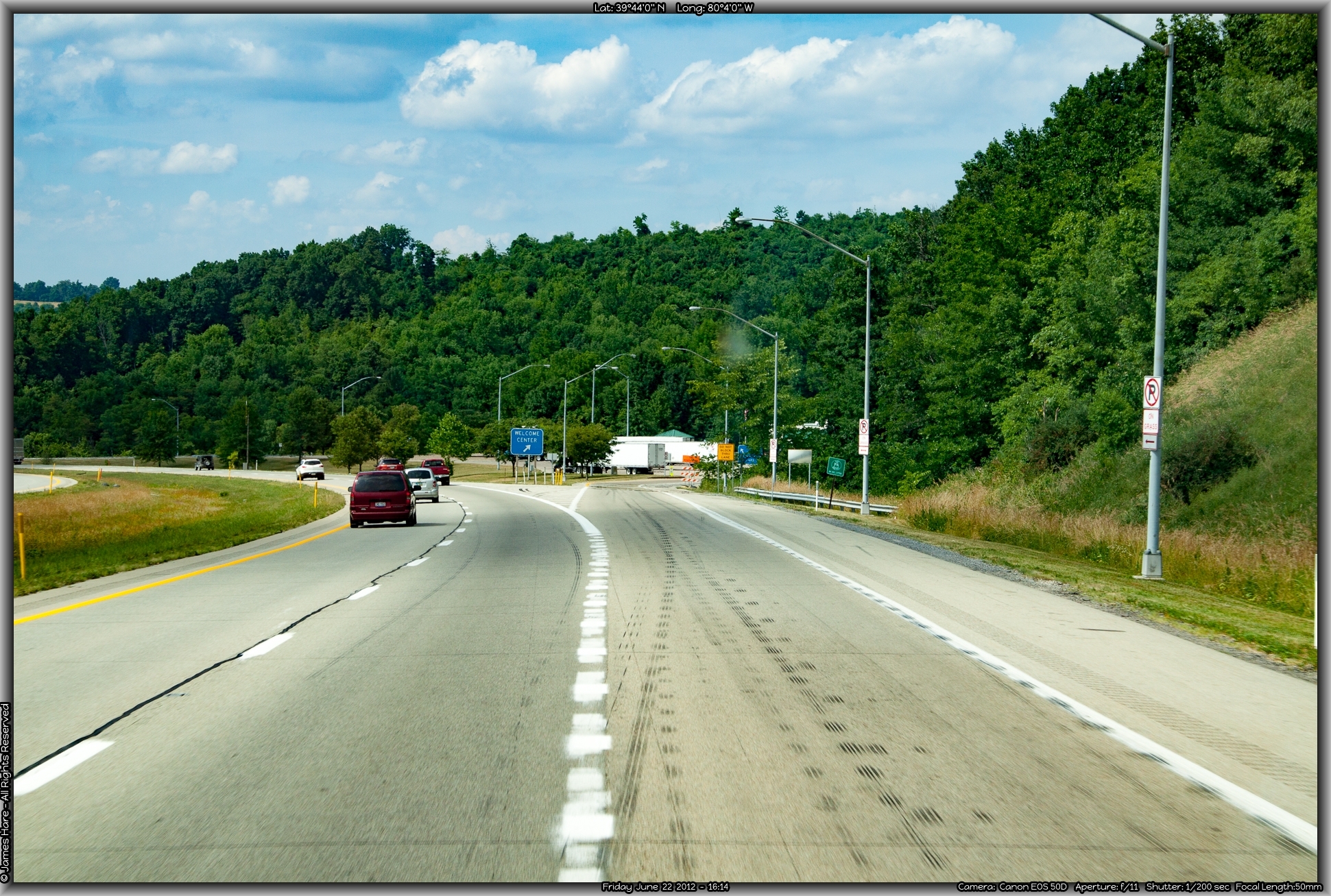
Somehow, I managed to NOT get a picture of the Ohio Welcome Center, a few miles down the road. We went in, looked around, and walked back to the Bounder, prepared to finish the last chunk of miles for the day. I had loosely mapped out the Columbus area as our first stop for the night, which was around a hundred miles away.
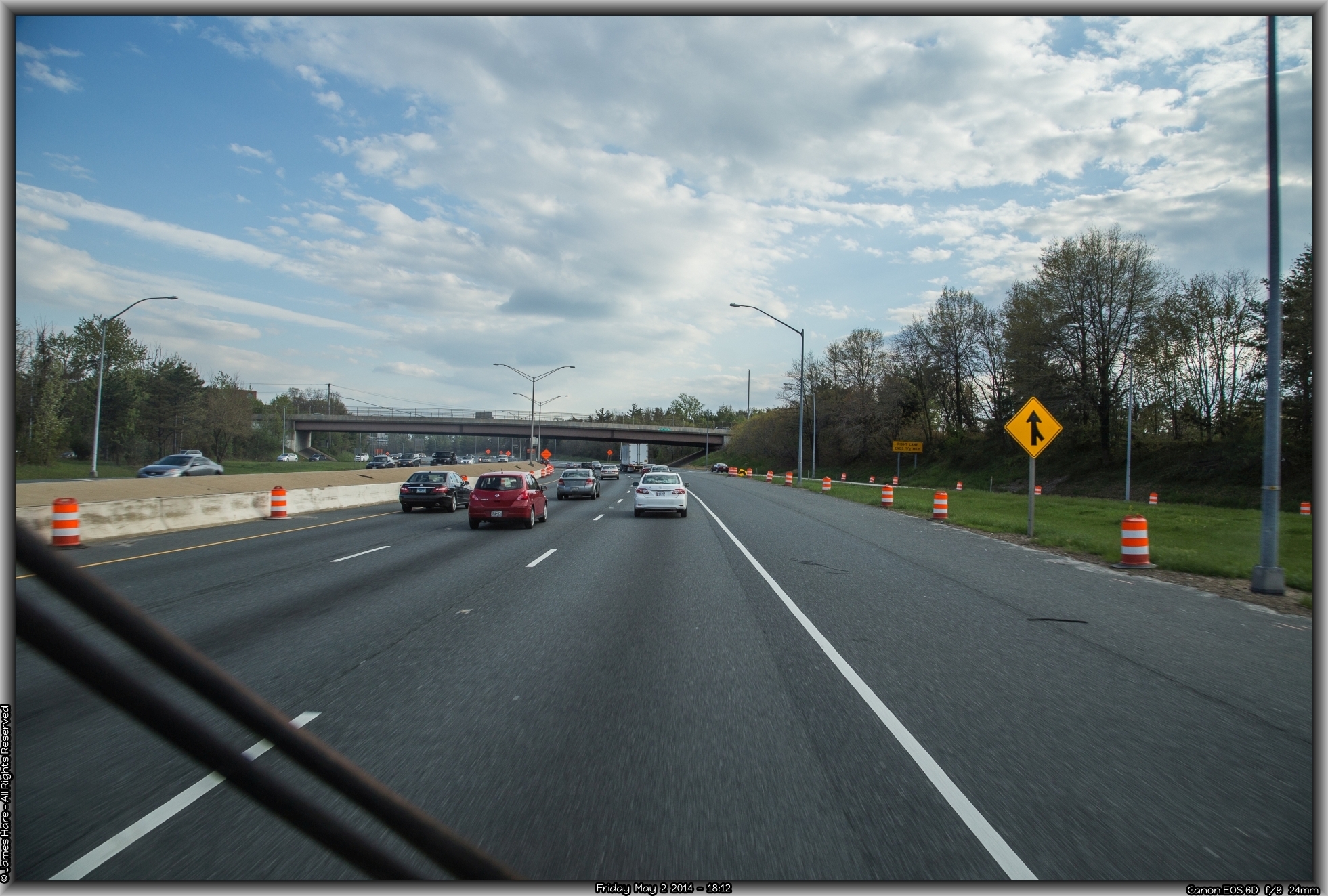
Traffic Jams and Bureaucrats
10 or 15 miles west of of the Welcome Center, at around 6:30 PM, we hit what would be our only major snag of the whole trip. There was construction west of us, around the city of Cambridge, where the East-West I-70 route interchanged with the north-south I-77, and for some reason, Ohio DOT thought it best to work on the off ramps that led traffic off of I-70 onto I-77 during a Friday afternoon in the summer. About ten miles east of the interchange, traffic came to a complete standstill. Not a slow move here and there for a couple of feet. A complete standstill. Minutes passed. More minutes passed. The only movement was when westbound cars humped and bumped over the median between lanes and turned east to head back to the nearest exit. Then the rest of us hardy souls moved up one car-length at a time. After nearly an hour, it was getting ridiculous. I entertained notions that the entire roadway must have disappeared into a sinkhole up ahead, as there was no east bound traffic on the other side either. Finally, I got up the nerve, at a relatively smooth spot in the median, to haul the Bounder around, and head back towards Wheeling. We took the first exit we could and looked for west bound US 40, which we had of course been paralleling most of the way. It was a little two-lane road here, but we took it the few miles into Cambridge, and stopped for gas, our first fill up of the trip. Interestingly, my Brand New Pilot card wouldn’t work, because I foolishly neglected to authorize and turn it on before we left. We called Pilot’s customer support, and of course, the conversation went something like this:
ME: “I need to authorize my Pilot card so I can pay for the $150 bucks worth of gas I just pumped.”
Pilot Customer Service: “Sure, no problem. What’s the number on the card?”
I read it to him.
Pilot: “OK, now the authorization number on the back?”
I gave it to him.
Pilot: “Very good. Now, what’s the user PIN code we sent you in an email to authorize the card?”
Me: “um…..I haven’t the faintest idea. The email is home, on my computer, about 500 miles east of here.”
Pilot: “Hmmm. Well, we can’t authorize the card without that PIN.”
Me: “But you KNOW it’s me here. I gave you my Social Security number, my zip code, read the card number and authorization code to you, and even answered all your dumb security questions.”
Pilot: “Yes, but we need that PIN code. We can send it to you again.”
Me: “Great. I’ll get it in two weeks when we get home.”
Pilot: “When you get the PIN, call us back and we’ll authorize the card.”
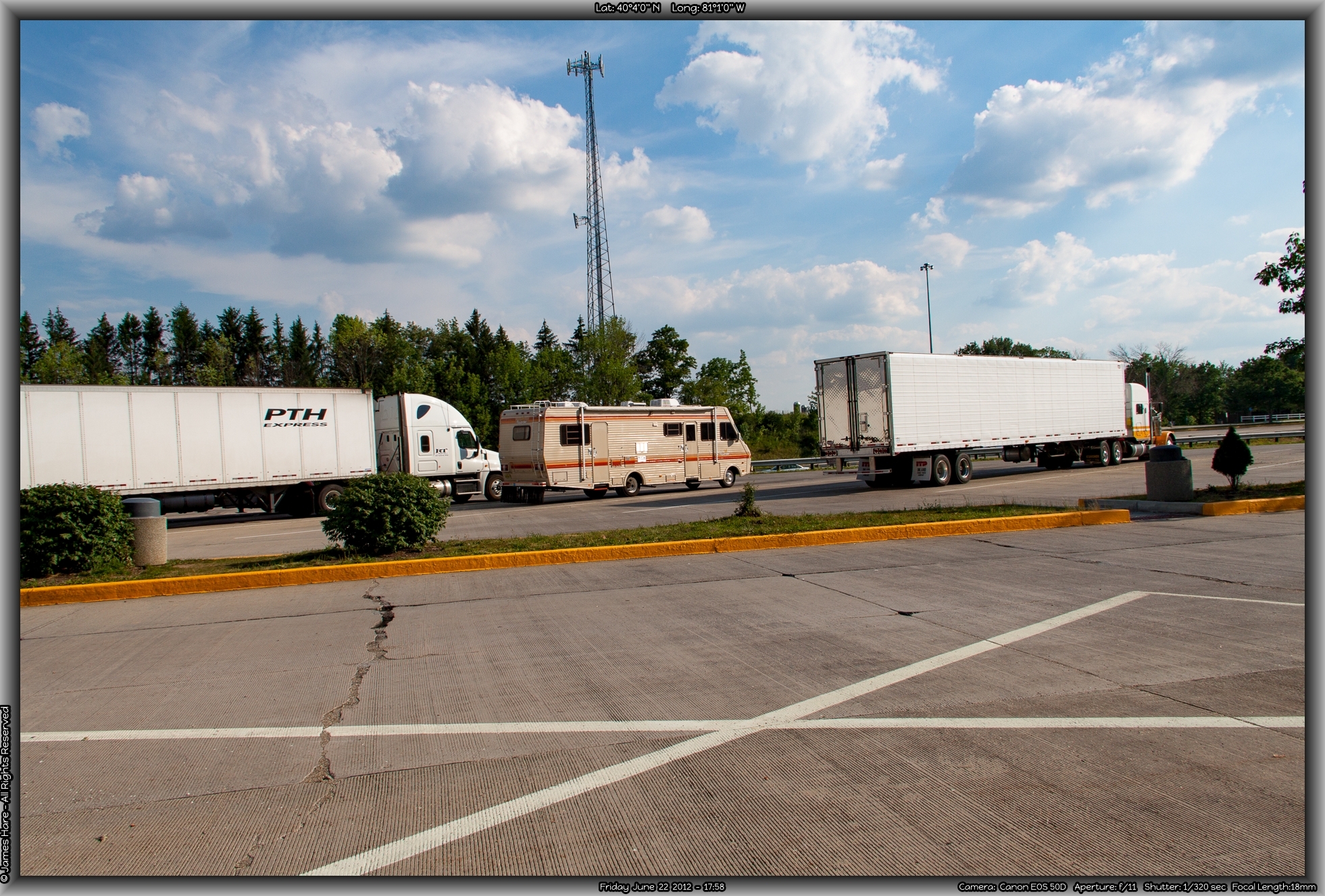
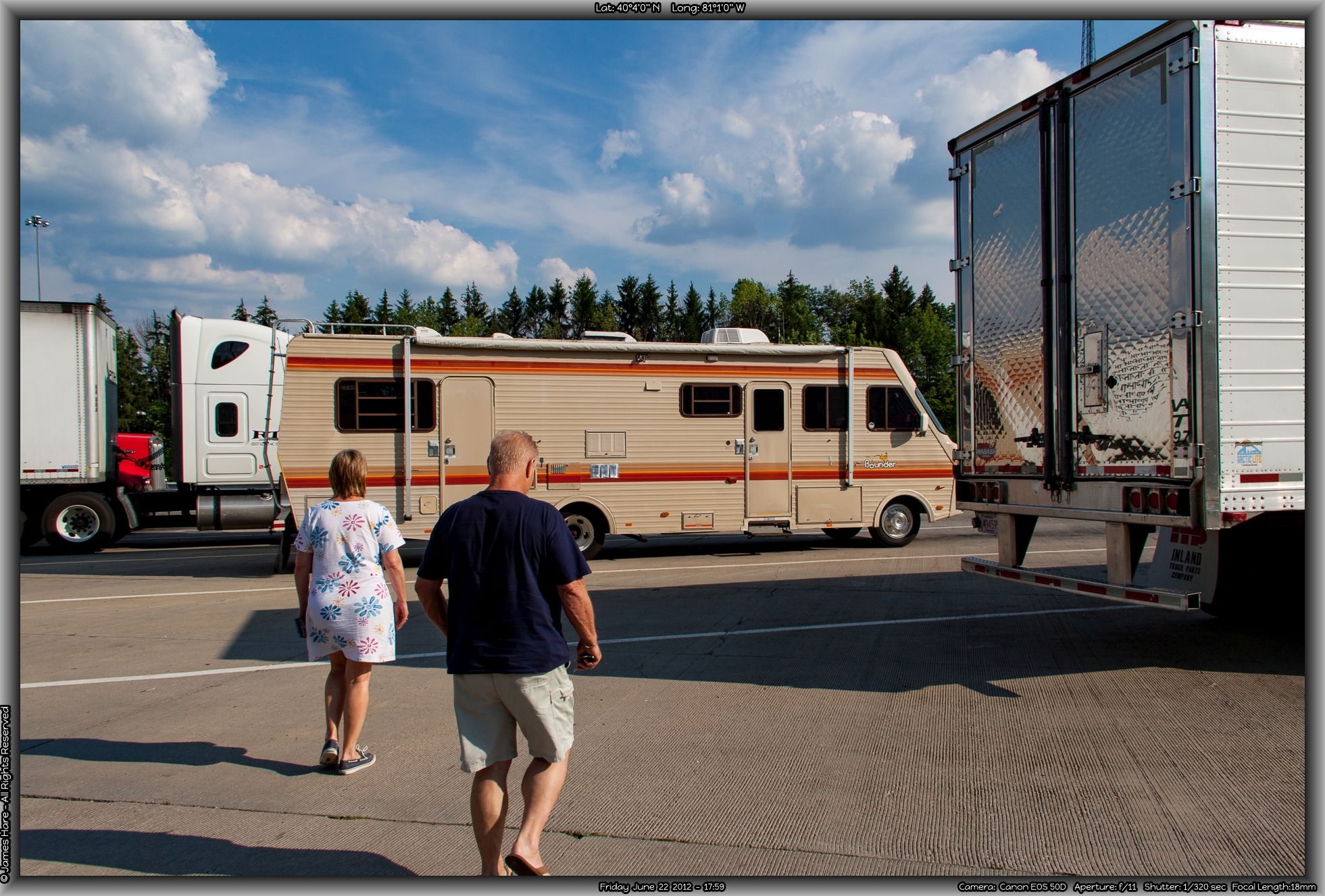
Needless to say, we went on like that for about another 20 minutes, to the great amusement of the clerk waiting for his $150 and the line of cars now breathing heavily down my neck behind the Bounder. Pilot wouldn’t turn the card on, no way no how, without that PIN number. So after a while we managed to back out the charge on the Pilot card and charge it to another gas card. There was nothing left to do now but go have dinner at a nearby Cracker Barrel, and head back west. After speaking with the locals, it seemed that they’d learned to live with the fact that the major North-South and East-West thruways in their city were completely closed off for normal vehicle traffic every evening from 3:30 PM until about 4AM in the morning. We took US 40 for another six or seven miles until we could safely re-join I-70. By now it was dark. We blew past the old speedtrap of Zanesville, and after an hour or so came upon Columbus. Midway between Columbus and Dayton, we found a large Flying J/Pilot truck stop that we knew we could stay at for free, and perhaps give me a chance to work something out with a live Pilot person. I navigated the Bounder around back to the large truck parking area common to this type of fuel center, and found a spot. But after shutting down and taking a breath, we realized that spending the night surrounded about a hundred idling diesel semi trucks is not really good for the sleep, so we drove out around front, and parked there. We walked around a bit to stretch our legs, the temp and humidity was pretty much the same as it had been at 7:30 that morning. We left the genny running, giving us air conditioning and lights without running on the batteries. Our first day had been fairly easy, except for the slowdowns in PA and Ohio.
Day 1 : 535 miles
Number of States: 6
Back to Intro Day 2 – Ohio to Iowa