|
Day 12-Rifle, CO to
Goodland, KS |
|
 |
|
For the first time in
over a week, we awoke to cool air. And by cool, I mean
the low 70s. Today we where really going to hit
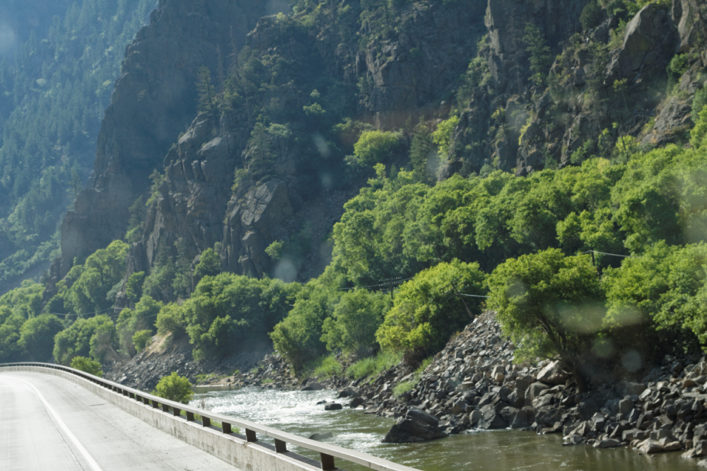
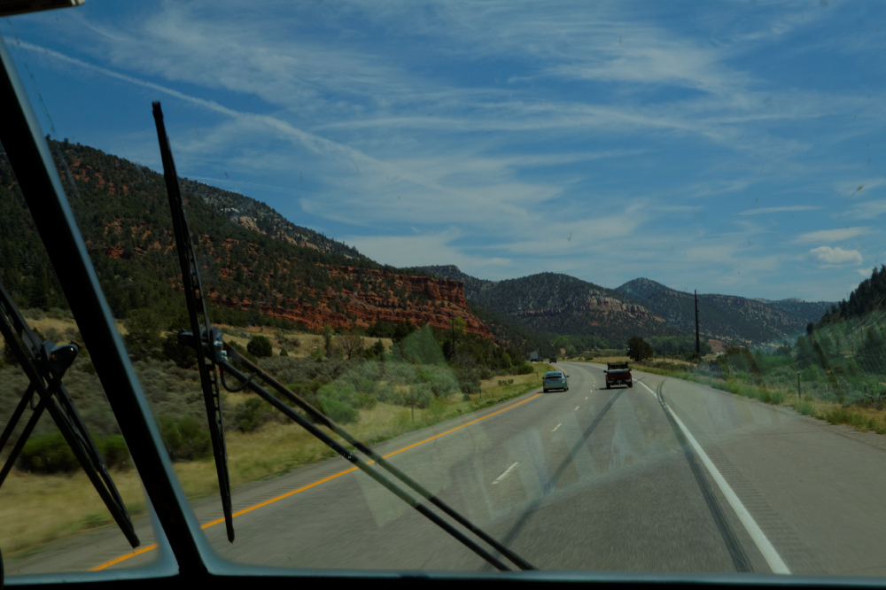
the 'mountains', taking Interstate 70 through the
Glenwood Canyon, and then over the Eisenhower Pass, the
highest part of any of the US Interstate system - 11,800
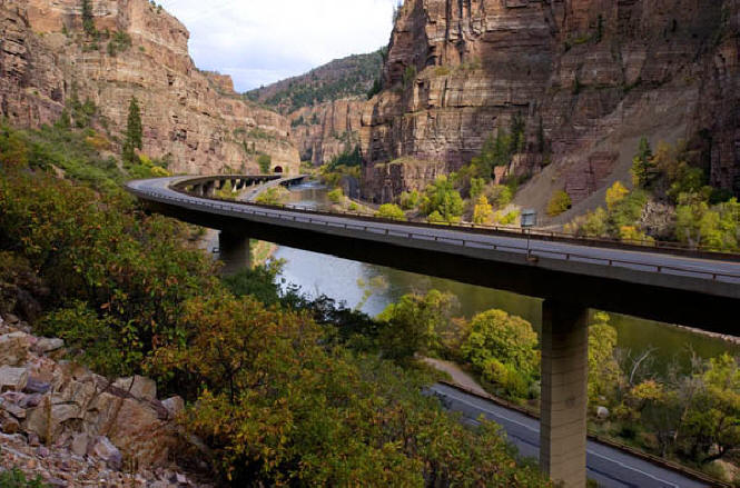
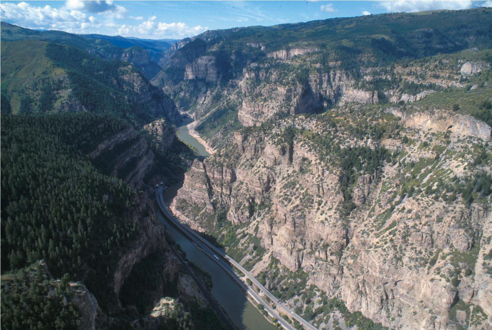
feet. Glenwood Canyon was one of the last parts of the
US interstate system to be finished, it's one of those
"engineering marvels" that you read about. Environmental
concerns along the somewhat untouched river made
building your standard mountain highway (dynamite, earth
moving, tunnels, etc) out of the picture. After much
thought and work, it was decided that the roadway, about
18 miles of four-lane interstate, would be built on
piers following the riverbank, thereby causing the least
amount of environmental disruption, but costing seven
times as much as a standard roadbed, and taking at least
three times as long to build. So that's what it came
down to - about 15 miles of swooping, elevated roadway
that drove though pristine wilderness and hardly even
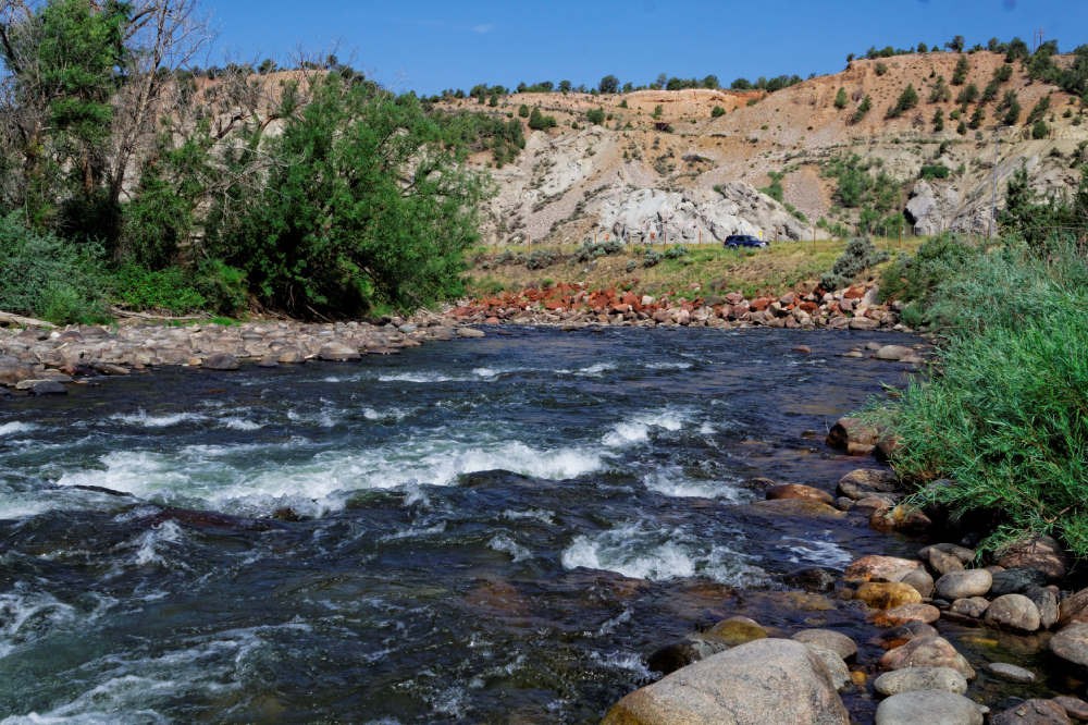
made a mess. We stopped at the first of several turnoffs
and read about the project, and then I went down to the
river bank and grabbed Melissa a couple pounds of river
rock for back home. All too soon we got spit out of the
other side of the canyon, and we slowly climbed up into
the hills. |
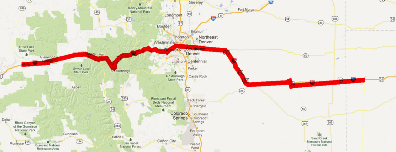
Rifle, early AM before we hit the road
|
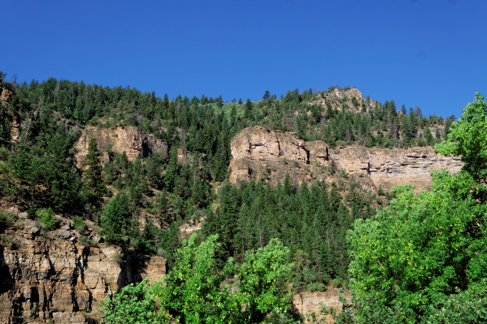
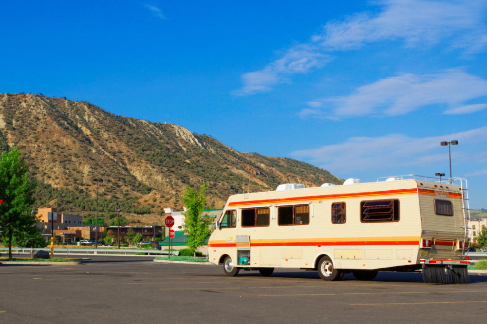
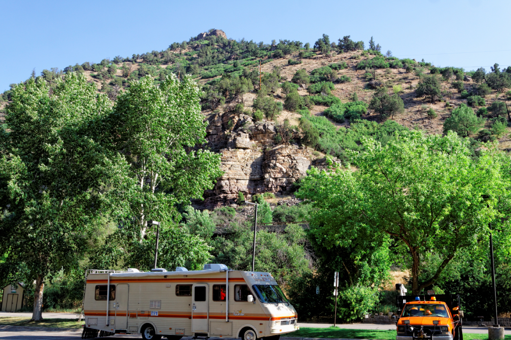
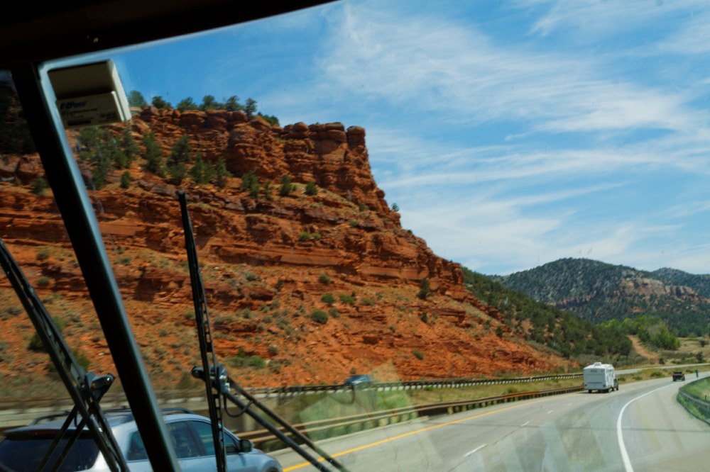
Bluffs above Rifle |
Scenic stop in Glenwood Canyon |
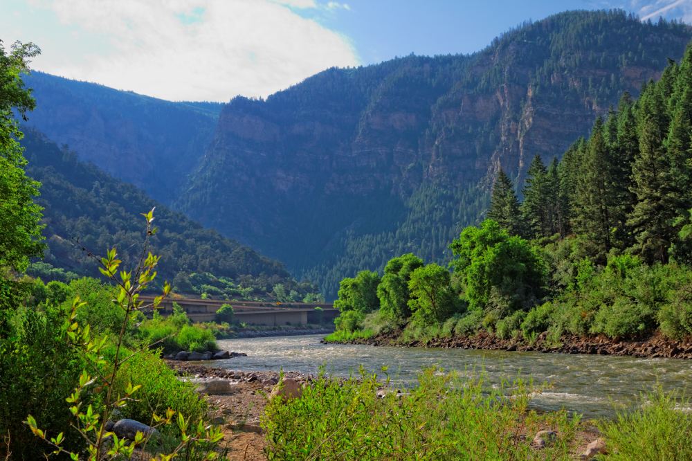
Glenwood Canyon |
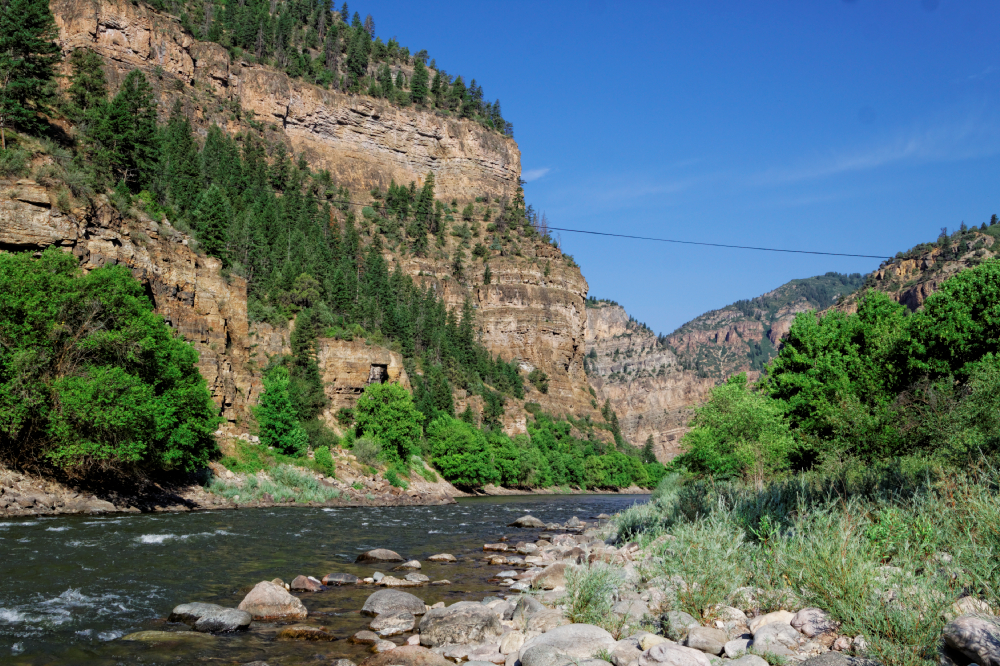 |
Glenwood Canyon (not my shot) |
Glenwood Canyon (not my shot) |
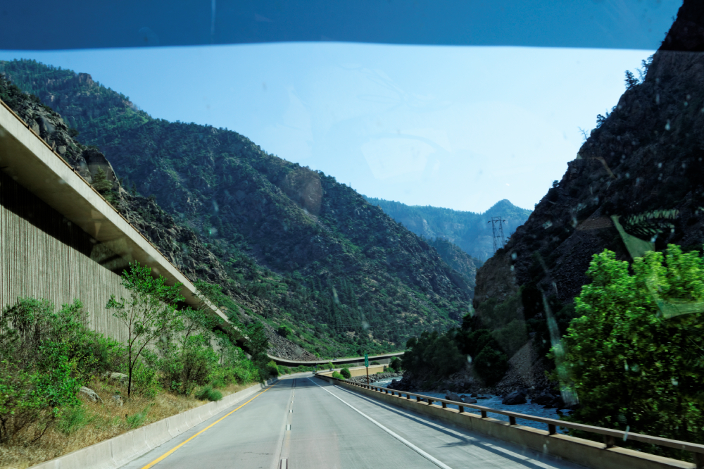
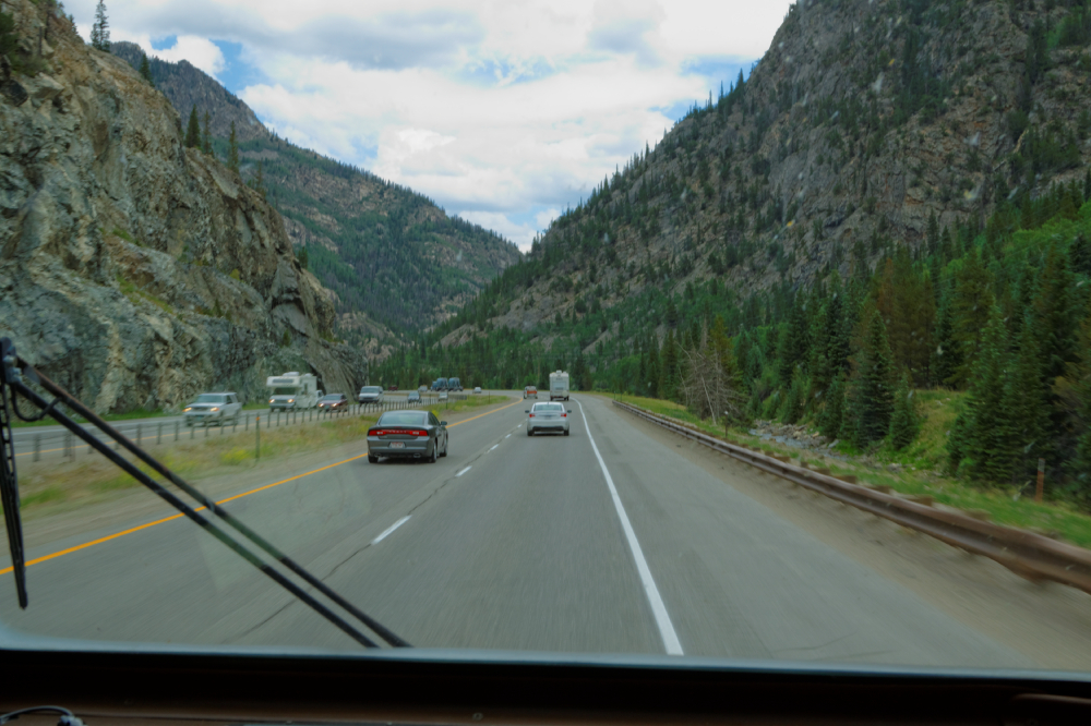
Glenwood
Canyon, through the windshield |
 |
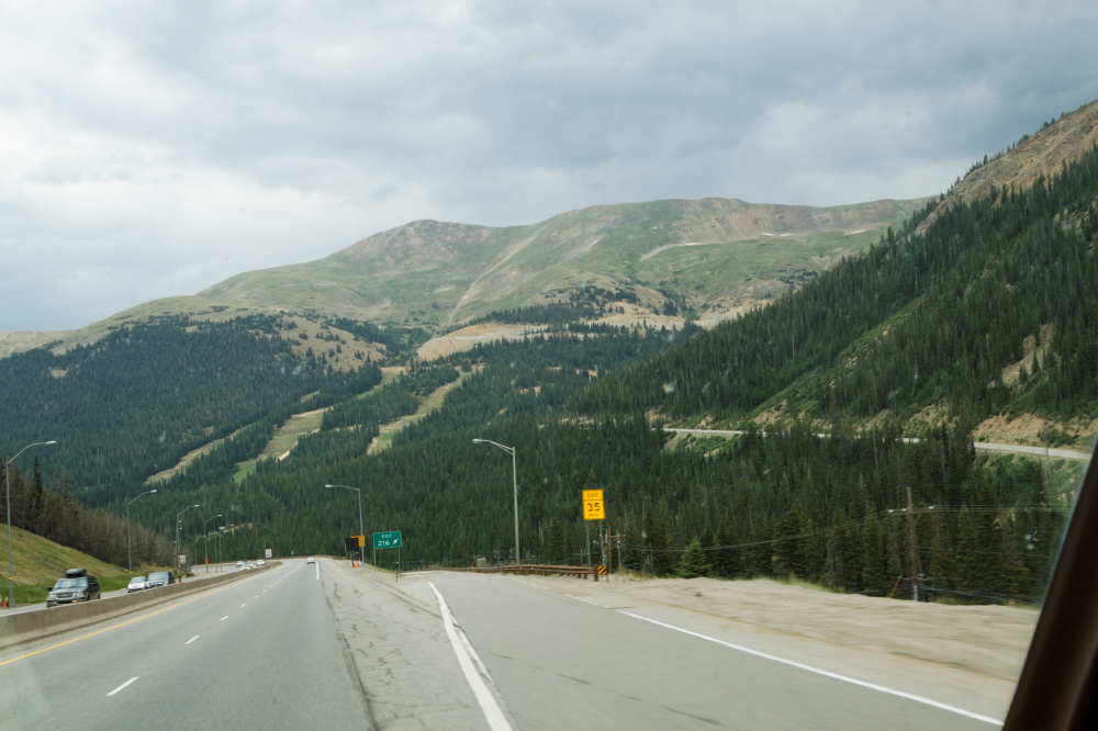
Out
of the Canyon, through Colorado's high country
|
|
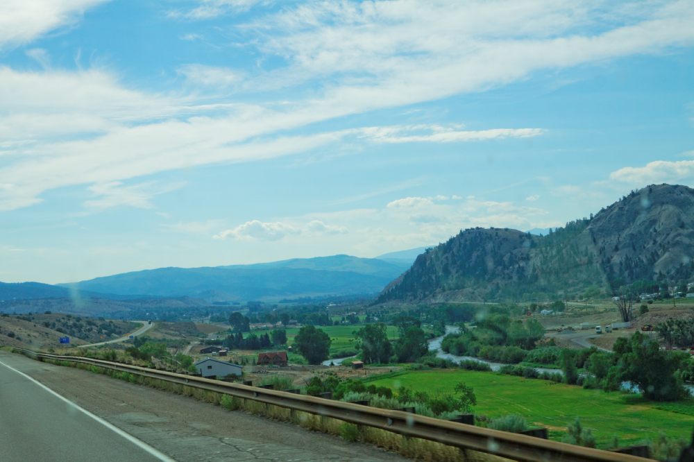
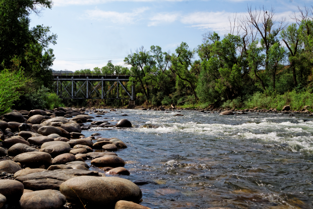
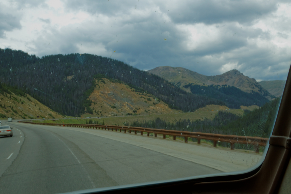
Once out of the canyon,
we drove along Colorado's high country - the river was
never far out of sight. The flat bottom land along the
river was occupied by farms and ranches, and not much
else. It was pretty, but not spectacular. Very bright
sunlight made taking some of these shots through the
windshield a bit problematic, but we couldn't stop every
half mile just so old Jim could snap a shot off. After a
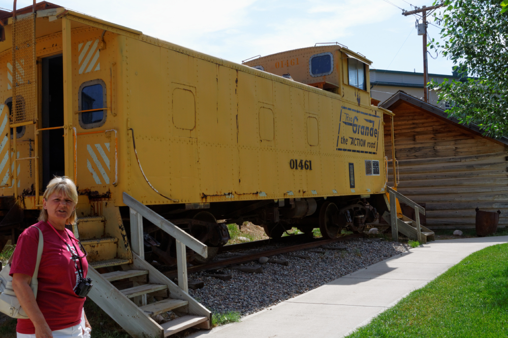
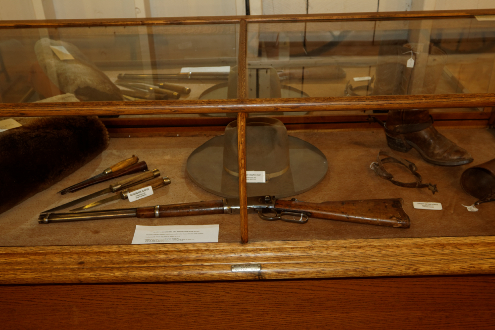
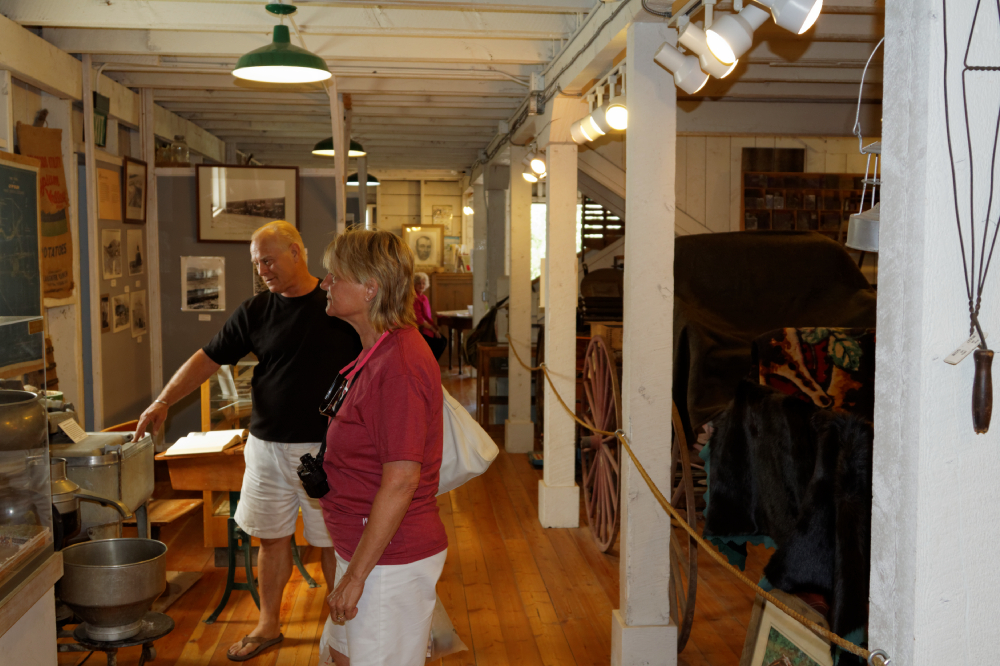
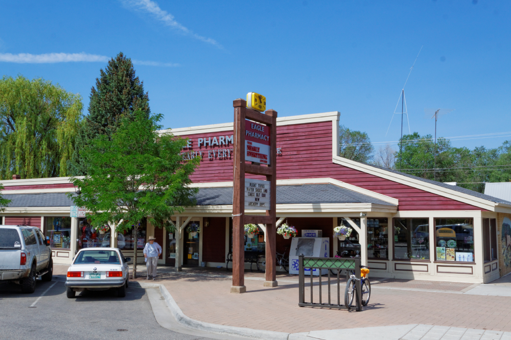
few dozen miles, we found the little town of Eagle,
where they promised a Rocky Mountain museum, and a
little small touristy area. We toured the museum, I took
some shots along the river, and then we walked up into
town to hit the Drugstore and souvenir place. Very
pretty little town. |
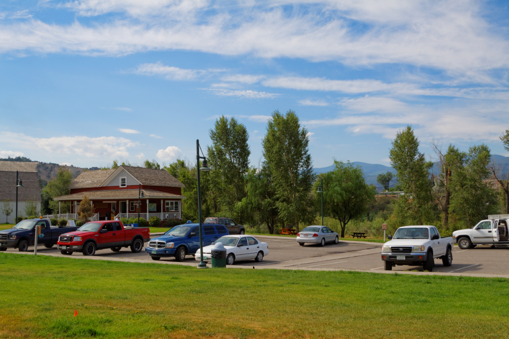
Eagle, Co Mountain Museum, Chamber of Commerce and
Tourist Info Center |
 |
 |
 |
 |
 |
 |
 |
 |
 |
|
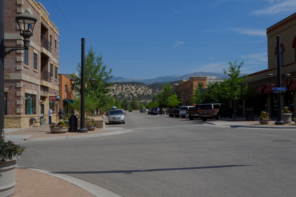
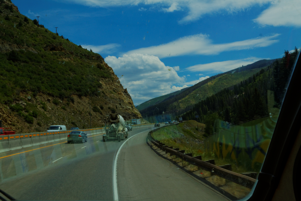
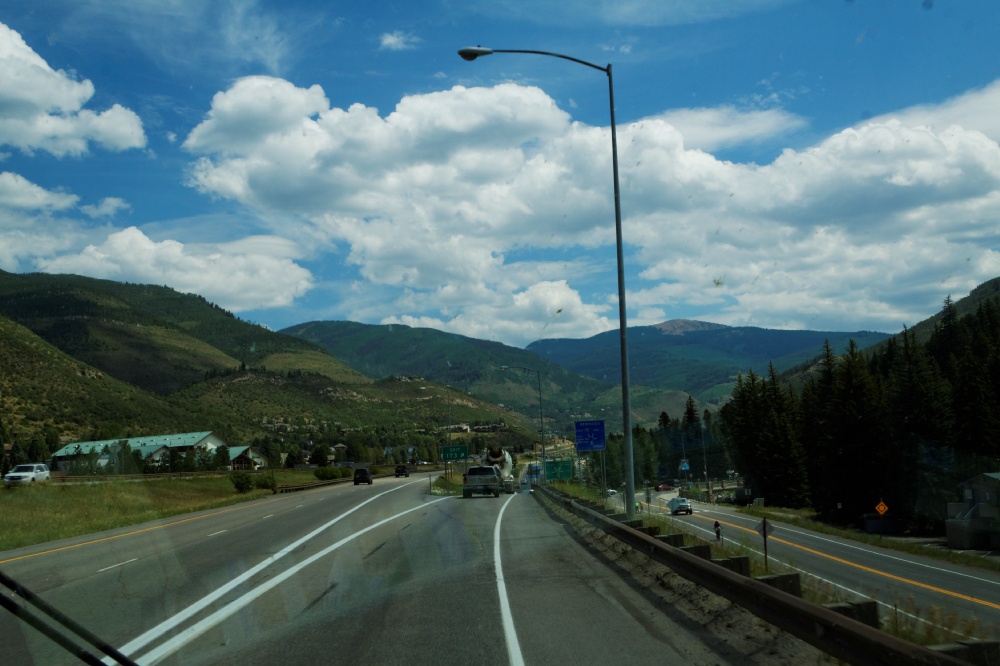
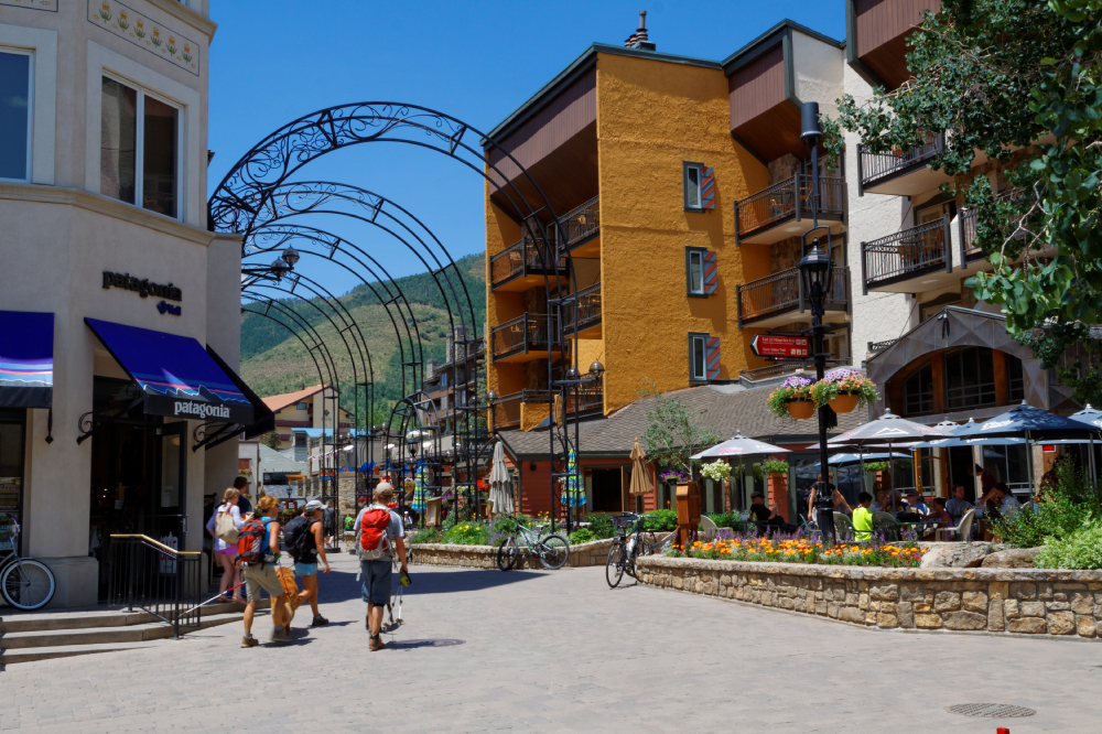
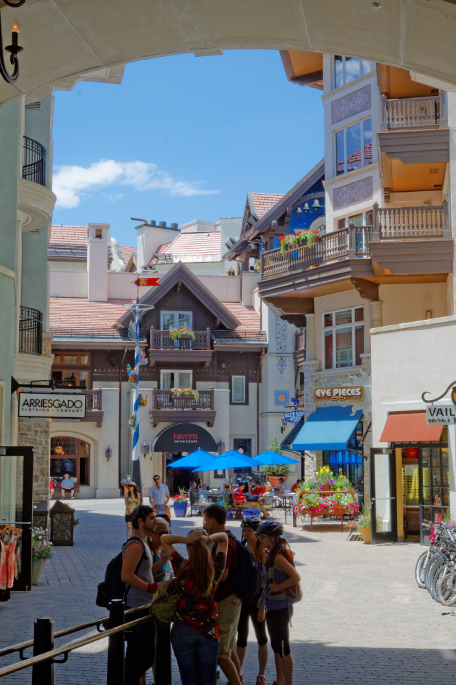
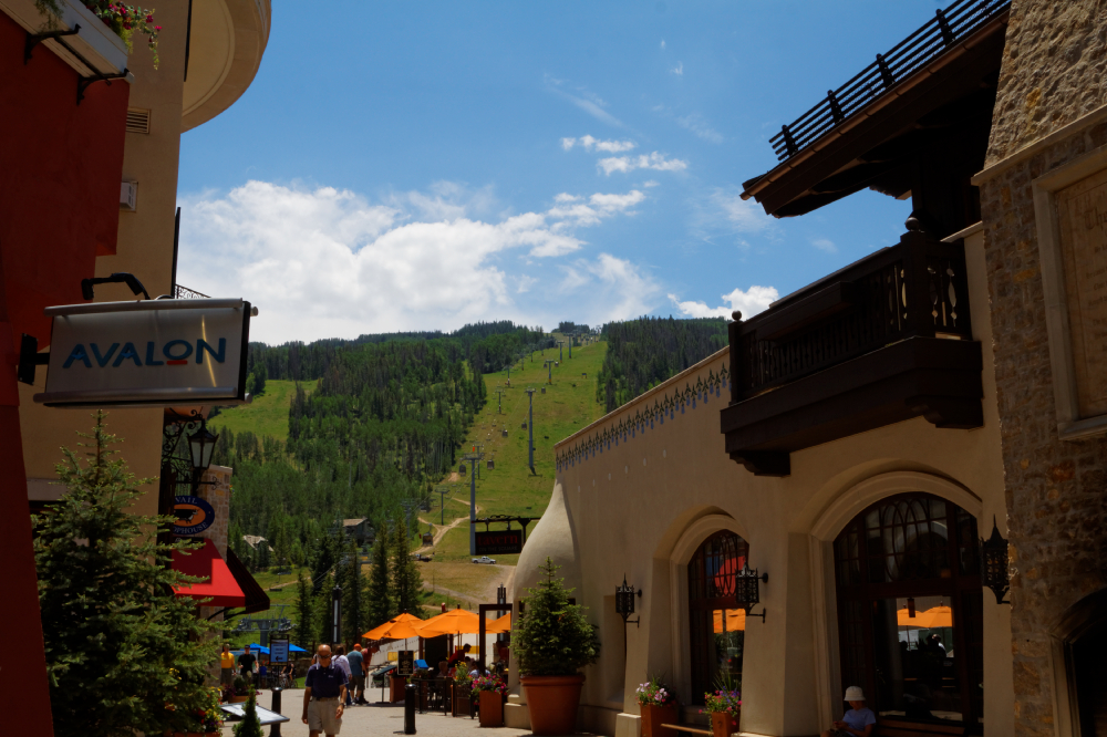
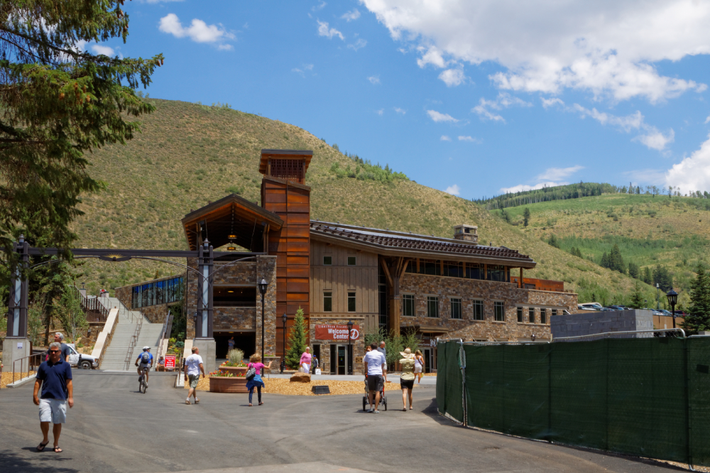
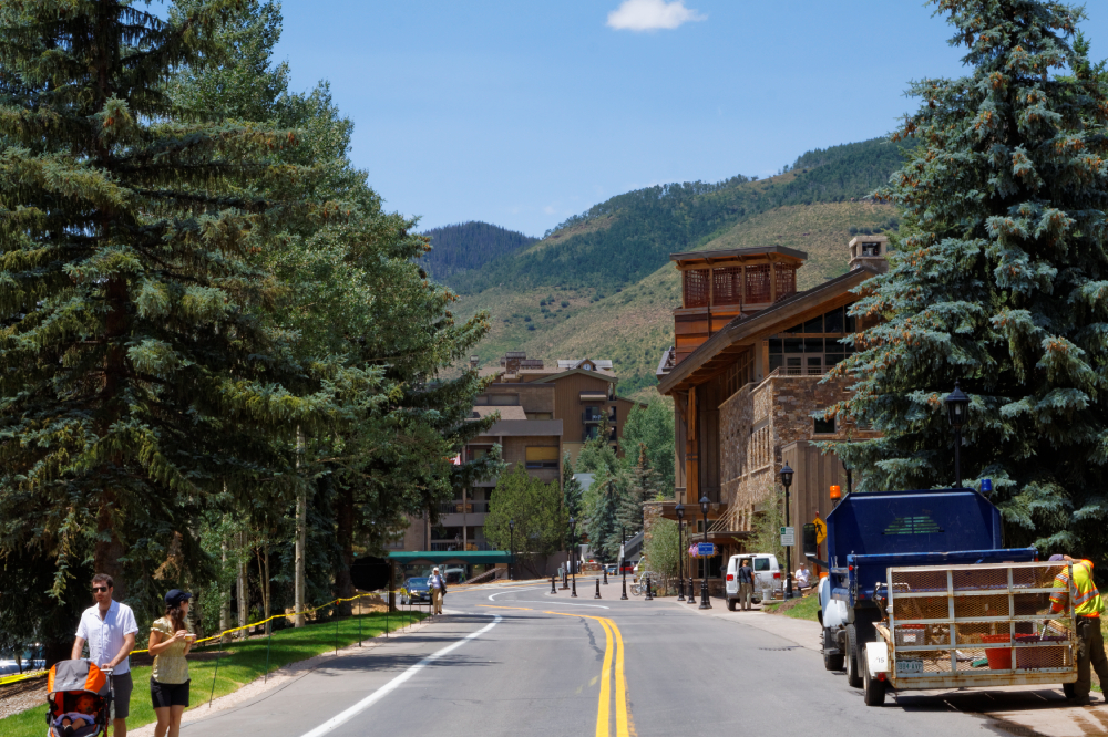
After saying goodbye to
Eagle, we found ourselves climbing, slowly but surely,
up towards the ski areas of Aspen and Vail. About
2 miles after we passed the last exit for Aspen, Hal
said "You know, I kind of wanted to see Aspen."
So about thirty miles
farther on, after following a large cement truck up the
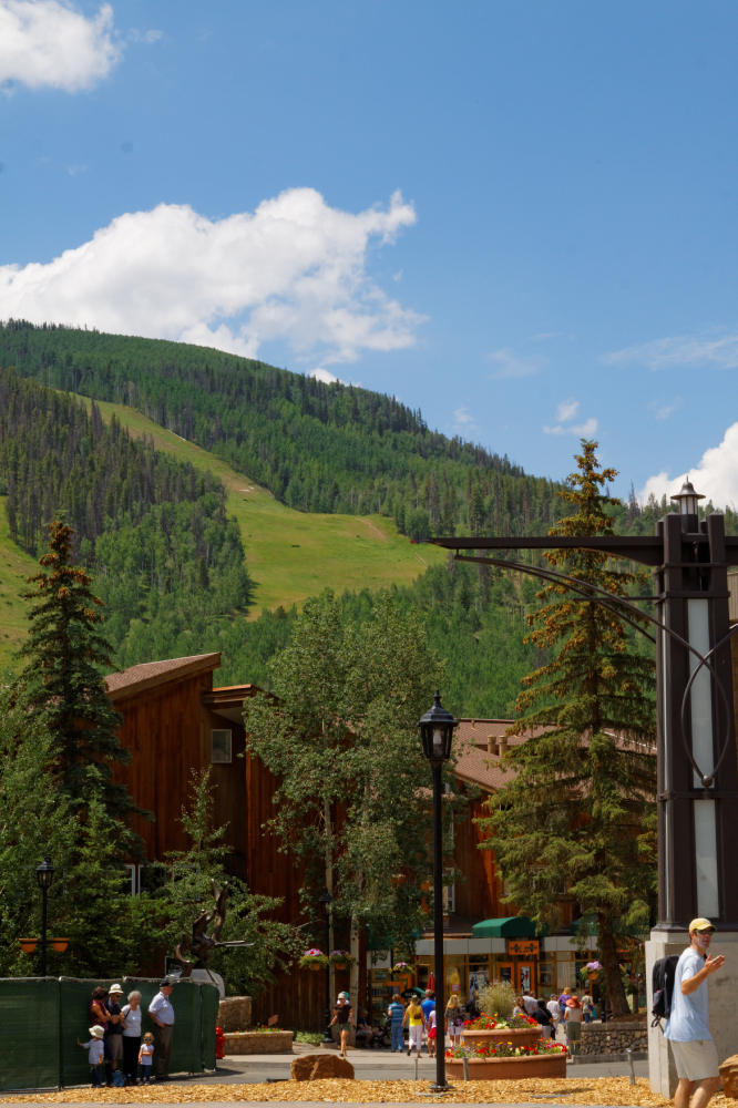
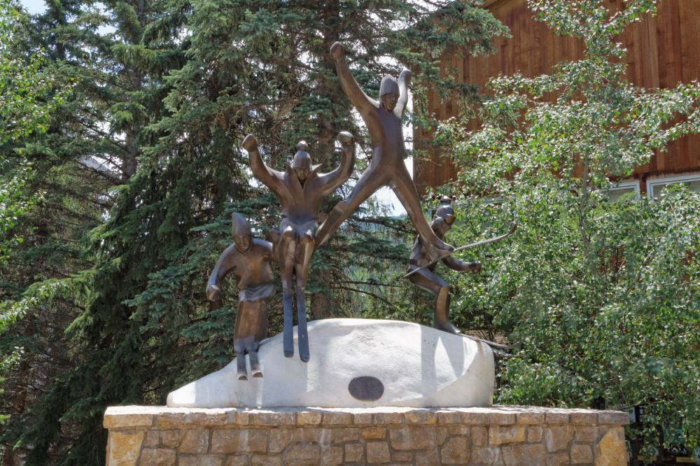
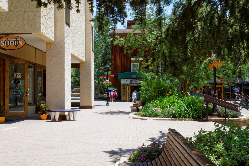
grade, we took the exit for Vail. It was a very nice
little place, a bit tres chic, if you know what I mean,
and rather expensive-touristy, but nice nevertheless. It
was hard to imagine the place five feet deep in snow, it being
about 85' and sunny. We wandered around, bought the
t-shirts, had some lunch, and hit the road again. |
 |
 |
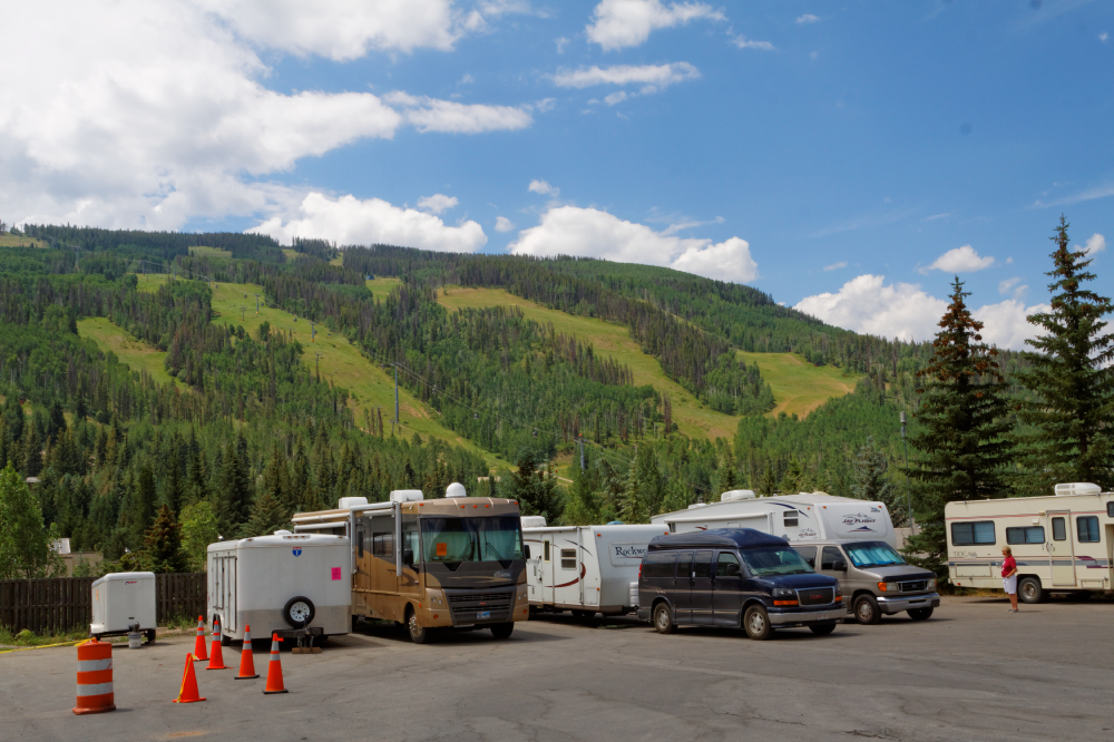
The park for RV drivers |
 |
 |
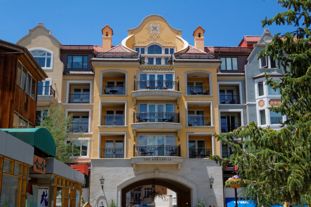
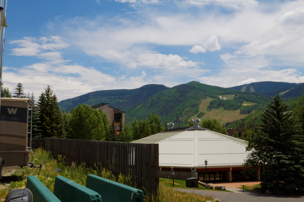
What appeared to be ski condo units built around an
upscale shopping arcade kind of place... |
 |
 |
 |
 |
 |
 |
 |
 |
|
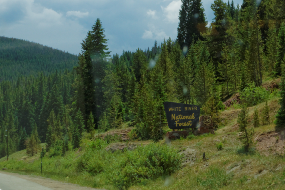
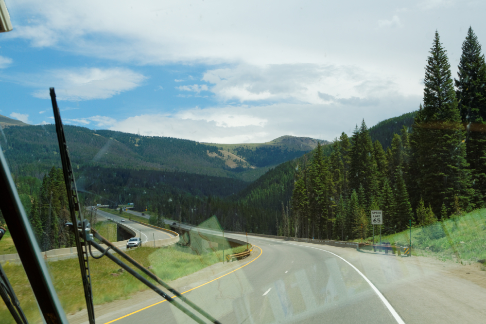
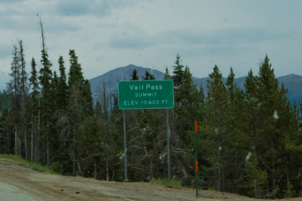
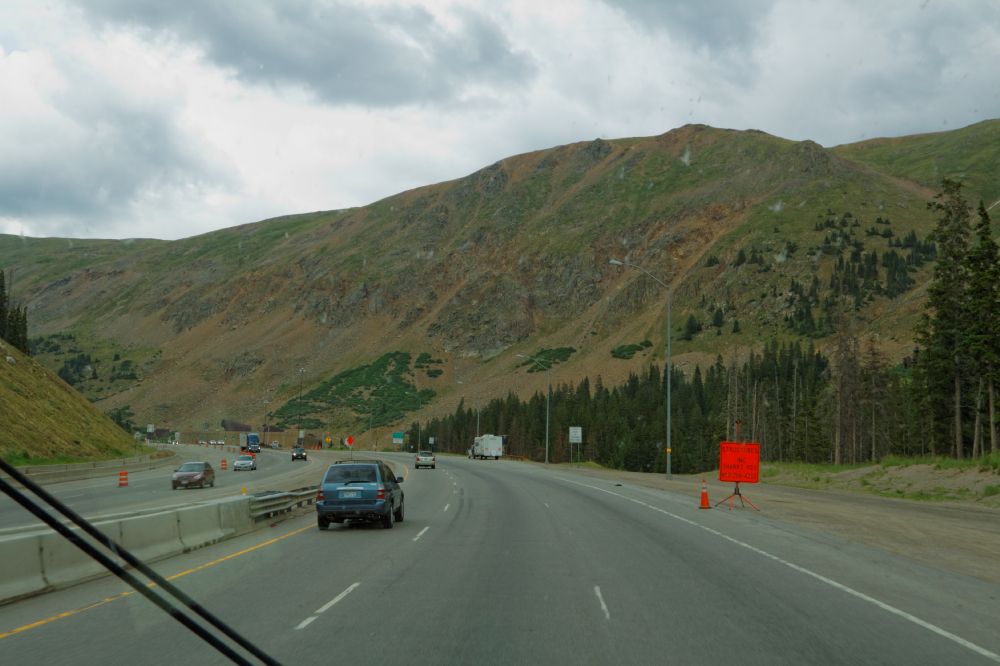
Back on the road, we head
up towards Vail Summit pass - the interstate was well
graded, just long stretches of easy hills, then level
for a while, then back uphill. The summit of the pass is
at 10,600 feet, so we climbed about 2,000 feet from
Vail. It was the White River National Forest.
Interestingly, these were'nt craggy, stony peaks like
you might have imagined - just forests of pine, aspen
and cedar along the slopes, and very little elevation
above the tree lines. Please excuse the windshield
reflections and crud. |
 |
 |
 |
|
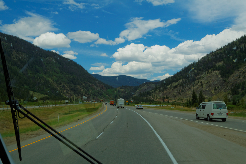
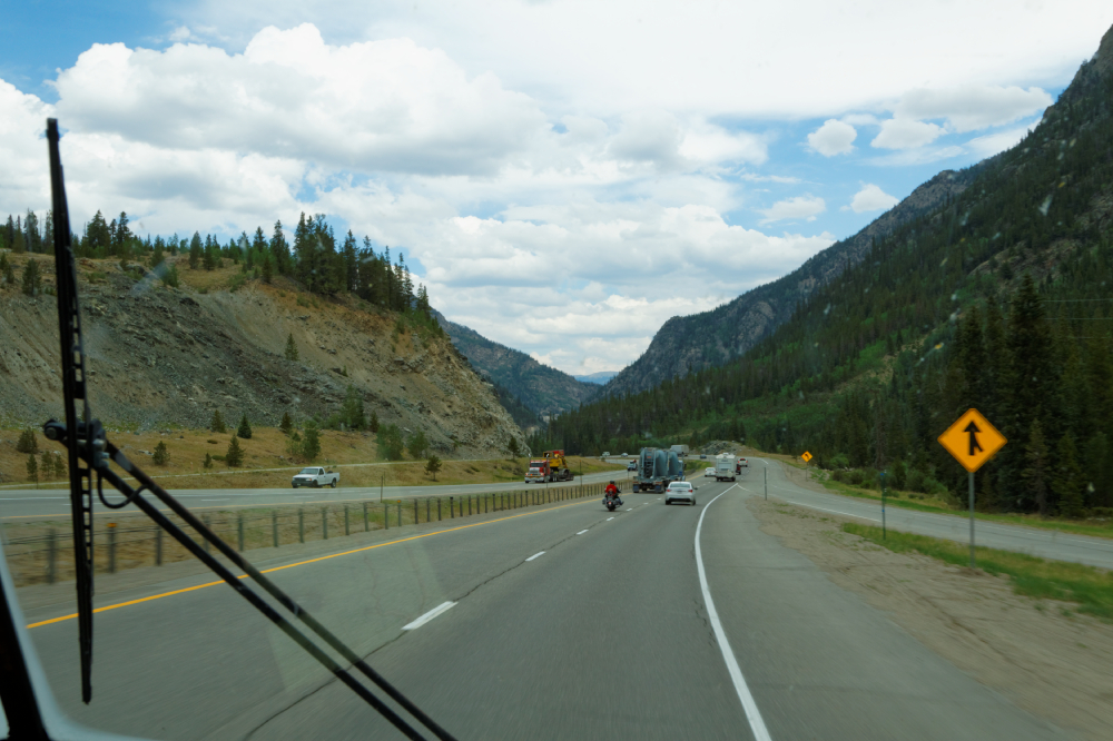
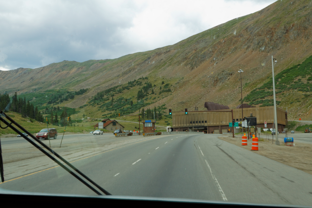
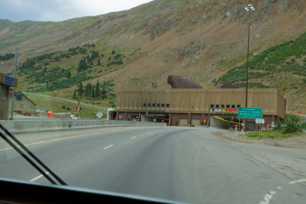
After the Vail Summit, we
began the long, slow climb to the Eisenhower Pass.
28-30mph the whole way but we made it with no trouble.
The skies would clear for a while, then darken again as
a storm looked like it was heading in the same direction
we were. |
 |
 |
 |
 |
 |
 |
 |
 |
|
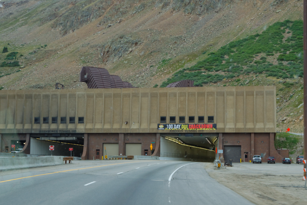
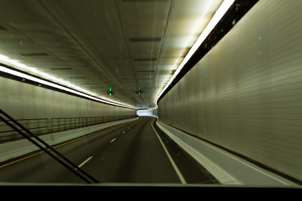
Finally the tubes
arrived. 11,800 feet, the highest point in our journey.
It was a surprisingly short tunnel, though, no more than
a mile or so at most. You spend more time going under
the Baltimore Harbor... |
 |
|
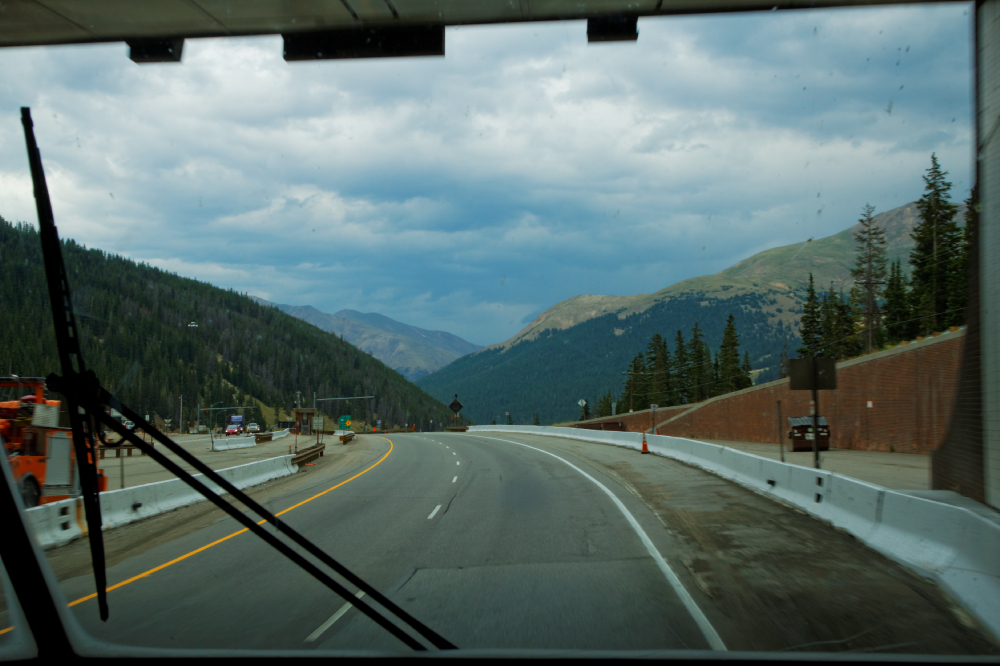
We came out on the
eastern slope, and ran into our first real rainstorm of
the journey. It made things a bit dicey going down hill,
but it wasn't bad at all. We stopped in Idaho Springs at
about 2:45 to gas up, and in the 65' chill, I noticed
that the line of traffic heading west up to the tunnels
was heavier than the east bound traffic we were in. I'm
not sure, but I think it's a steeper climb when you go
east-to-west like they were doing. |
 |
 |
 |
|
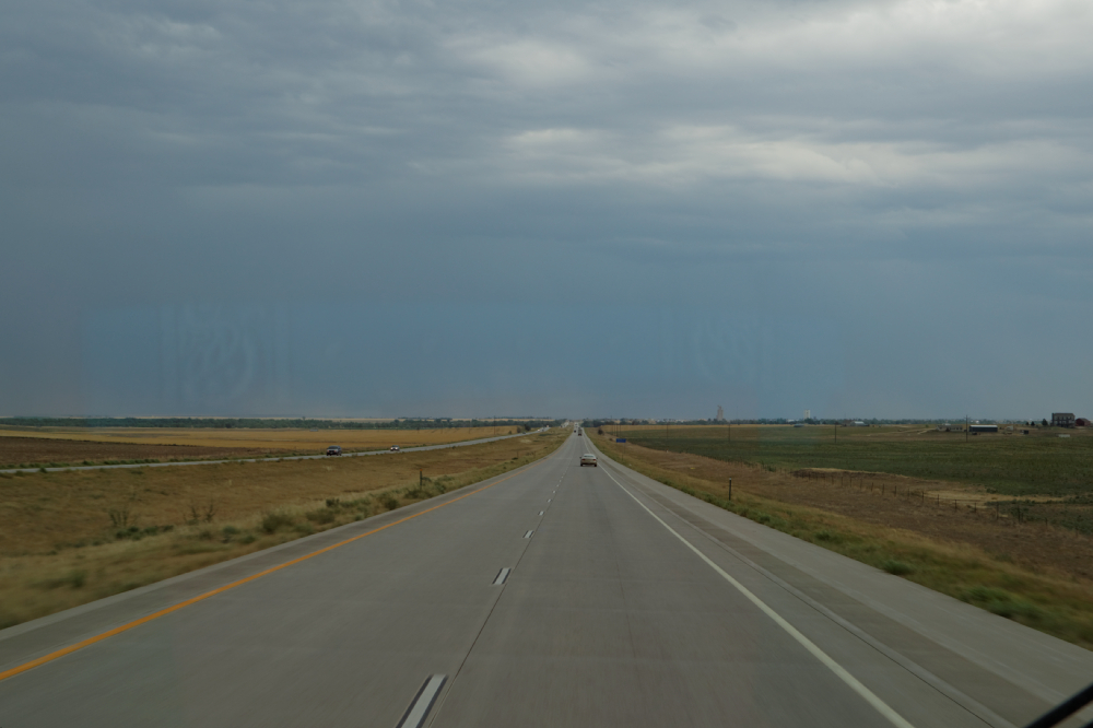
As we dropped down past
Golden into the outskirts of Denver, the rain got a big
heavier, and traffic got busier. Thus, I don't have any
pictures of the Denver Metrop. area, not that it was all
that exciting. It took us about an hour or so to
traverse the city and get out of town, which wasn't too
bad considering it was just about rush hour, 4:30 or so.
We dropped out of the mountains, the interstate took a
jog south, and then we came out onto the plains. Wind
was terrific, blowing from right to left across our
front. It was surprising to feel the wind coming up out
of the south. You had to constantly fight the wheel, and then
when a larger bus or truck passed us, the whole thing
shifted and swerved, so we had to stay pretty alert.
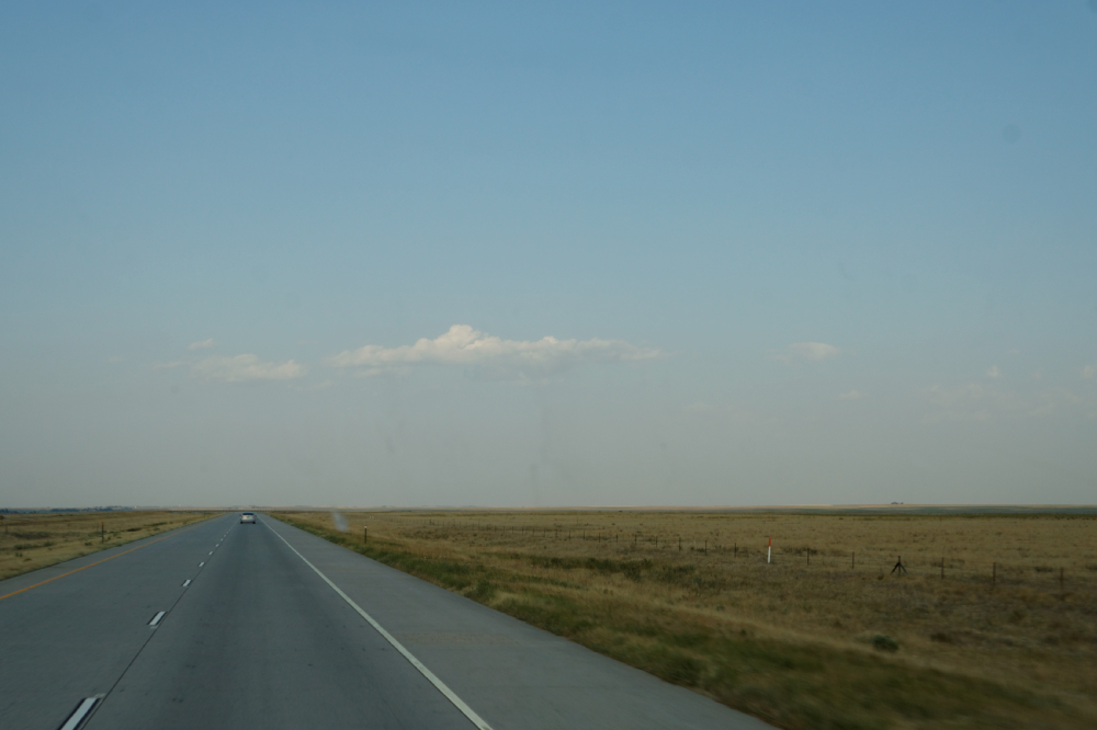
Took a few pictures of the flat pancake land, and what
looked like more storms coming. It was still drizzling
as we crossed eastern Colorado.
|
 |
 |
|
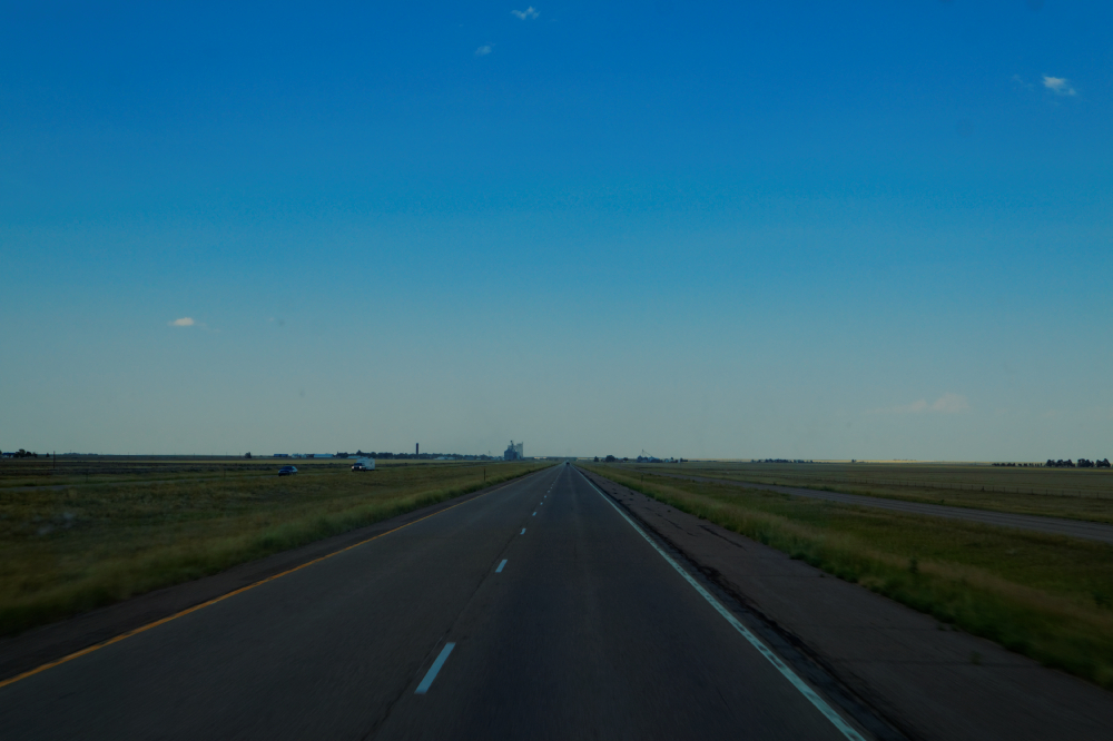
About 50 miles before we
hit Kansas, the awning came loose again, and we decided
to sacrifice it. We pulled over, and as the trucks and
busses whizzed by at 80 MPH, I climbed up on the roof in
the 40 mph gale, and quickly sliced a knife down the
awning along the roller tube, to release it. It was
flapping like mad in the wind, so it was a bit of a
struggle but I finally got the whole darn thing cut off,
and Hal pushed the remains into one of the storage
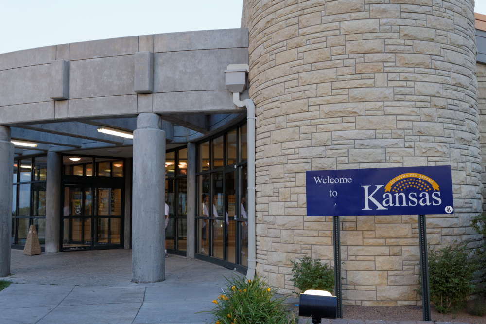
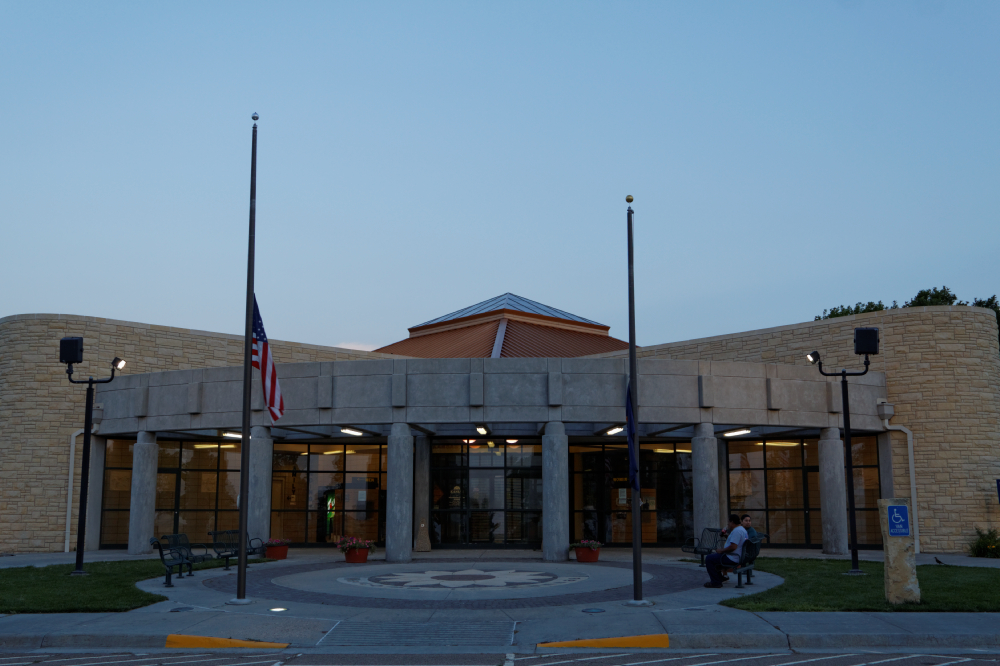
compartments We crossed the state line about 6 PM,
stopped at the Welcome Center, which was closed for the
day, and headed to Goodland - the only city of any size
for a couple of hundred miles, and we made for the KOA
there. We ate dinner at a Wendys just off the
interstate, and doubled back through town to the
campground. We got there about 9:30 in the
evening, signed in to the night reservation system, and
found a nice spot. The place was pretty deserted.
Another long day, even though we covered less than 400
miles - the two sightseeing stops in Eagle and Vail were
nice, though, a welcome break from driving all day long.
|
Heres where we took off the unrolled and torn awning. |
 |
 |
|
|
|
End of Day 12 - 382 miles |
|
Day 11 |
|
Day 13 |
| |
|
|